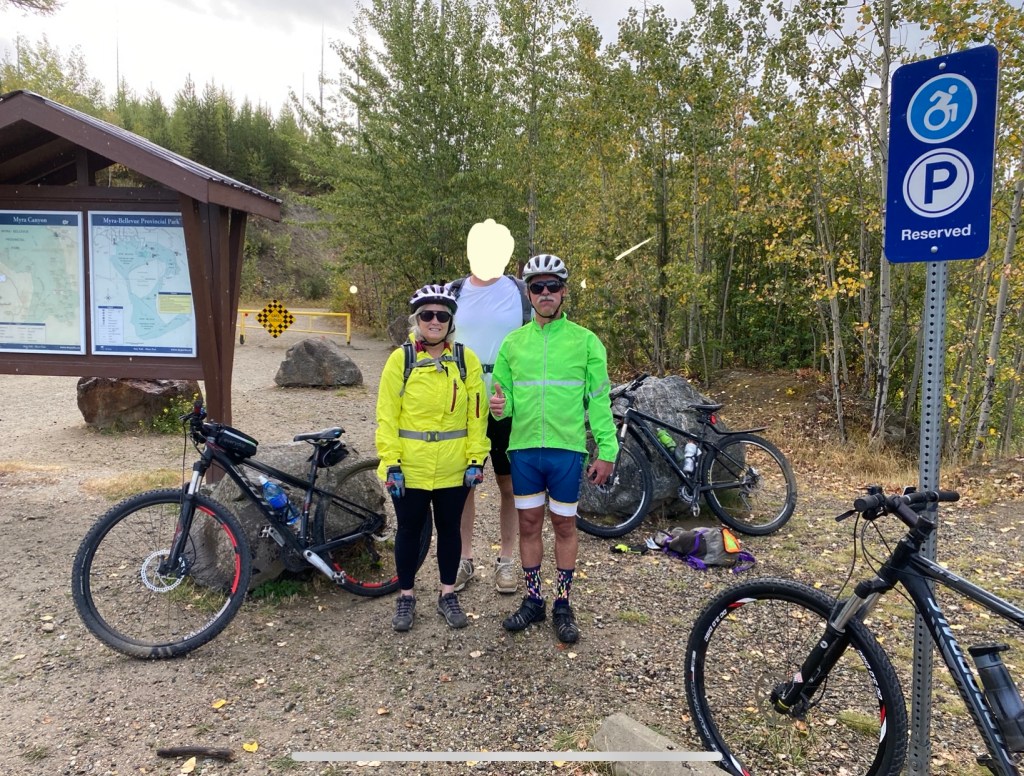
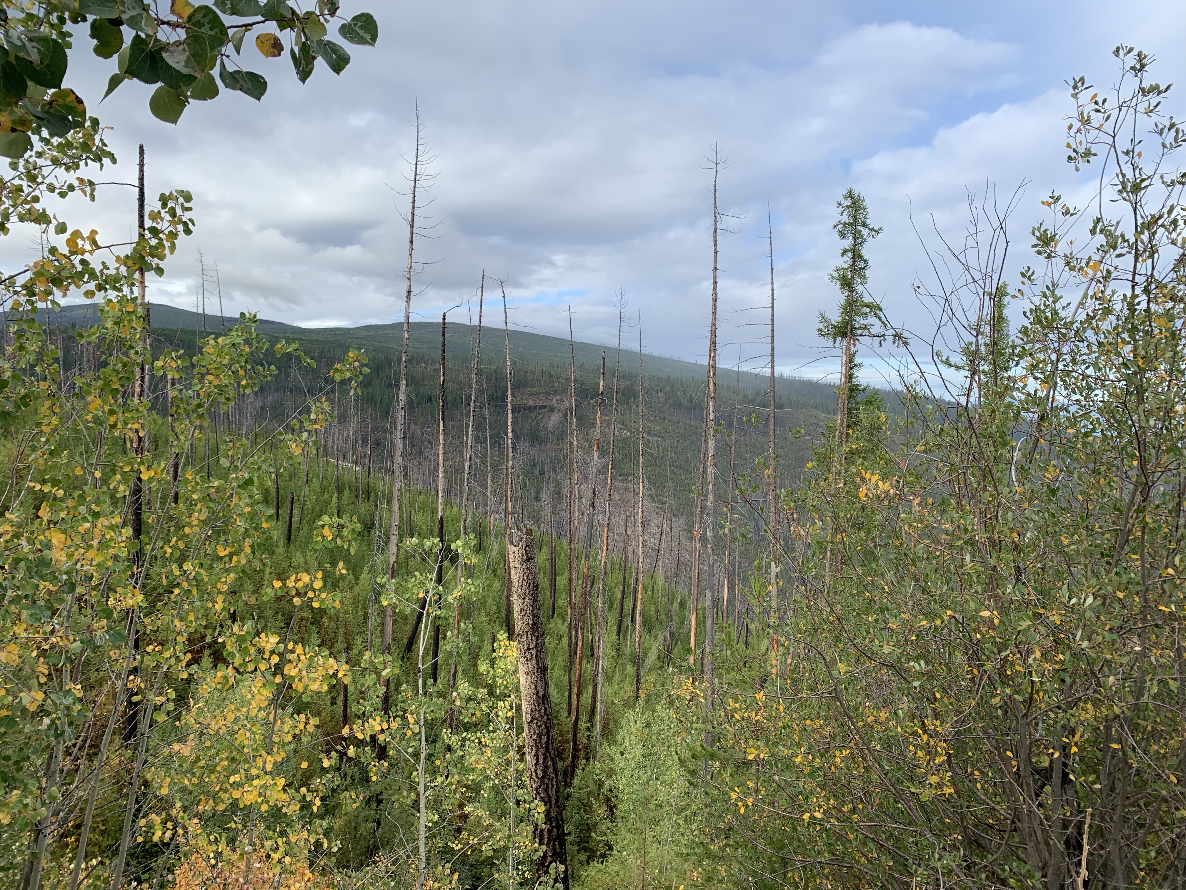
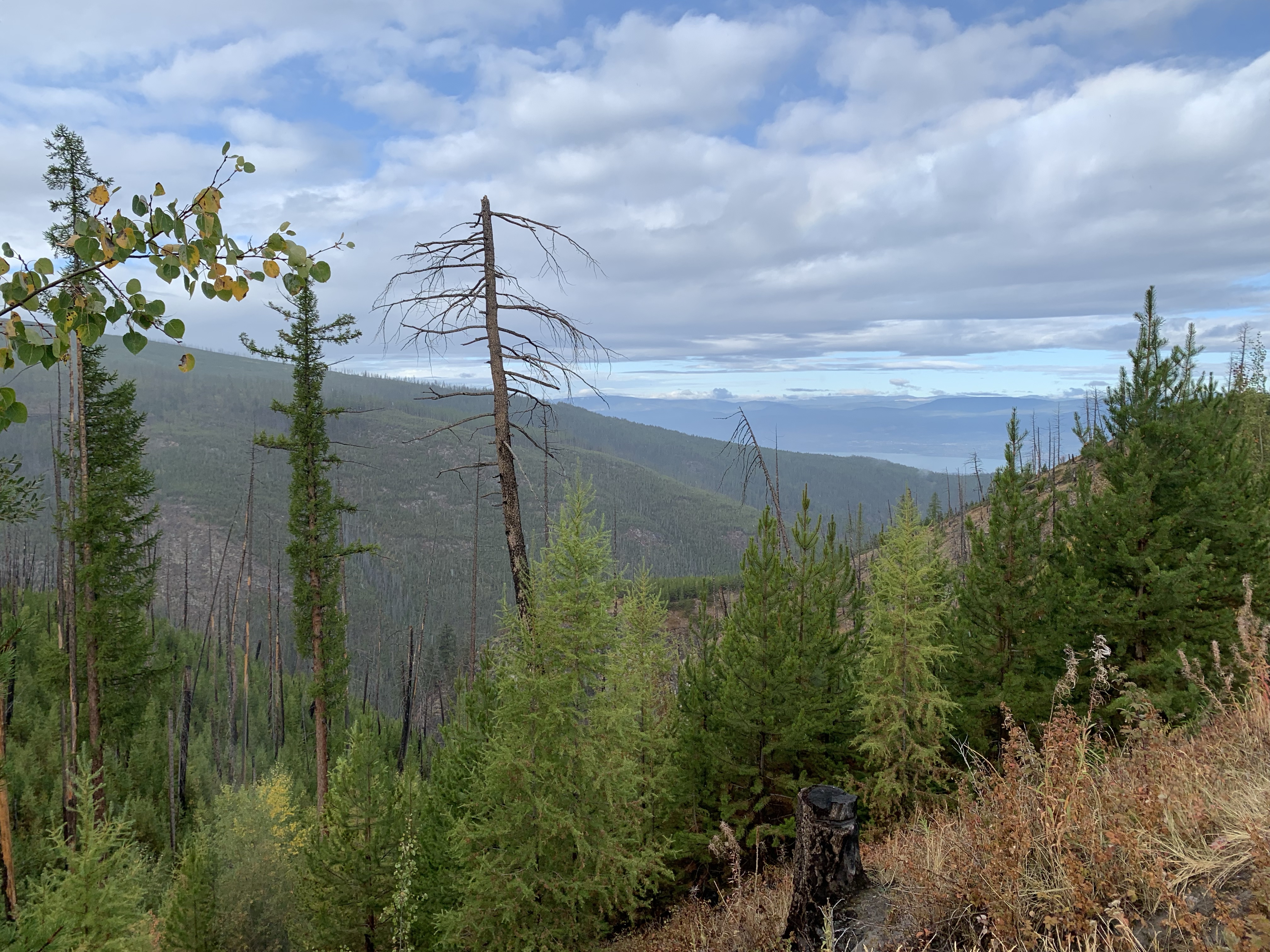
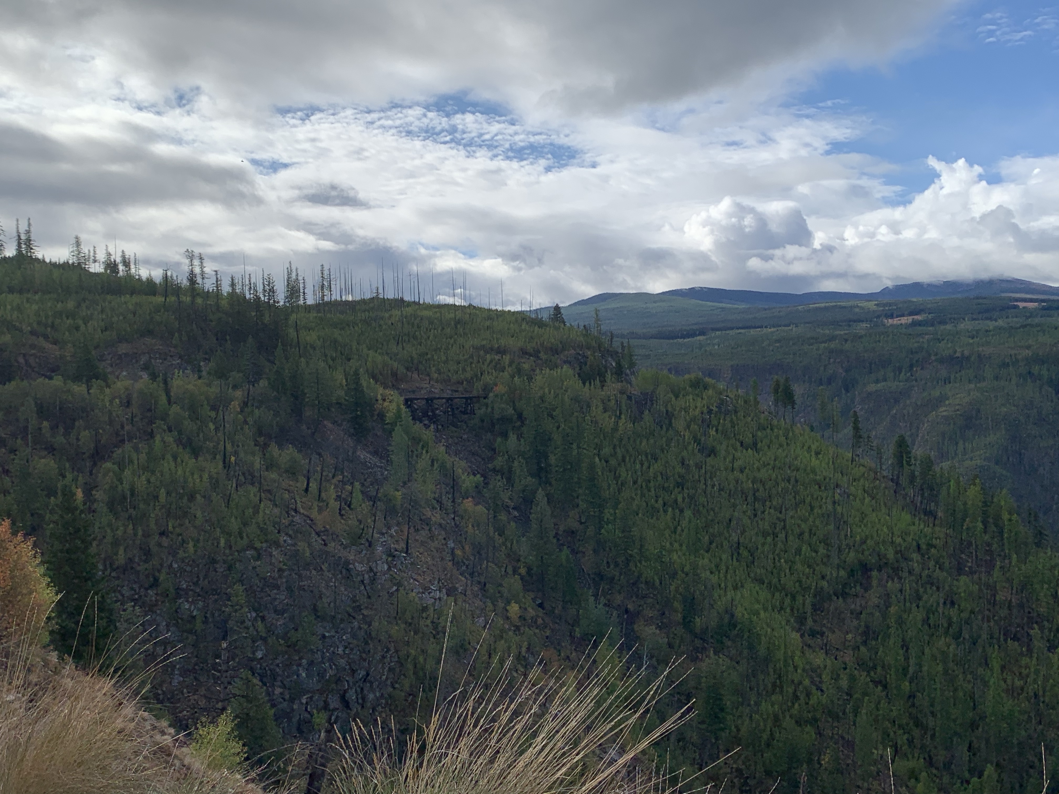
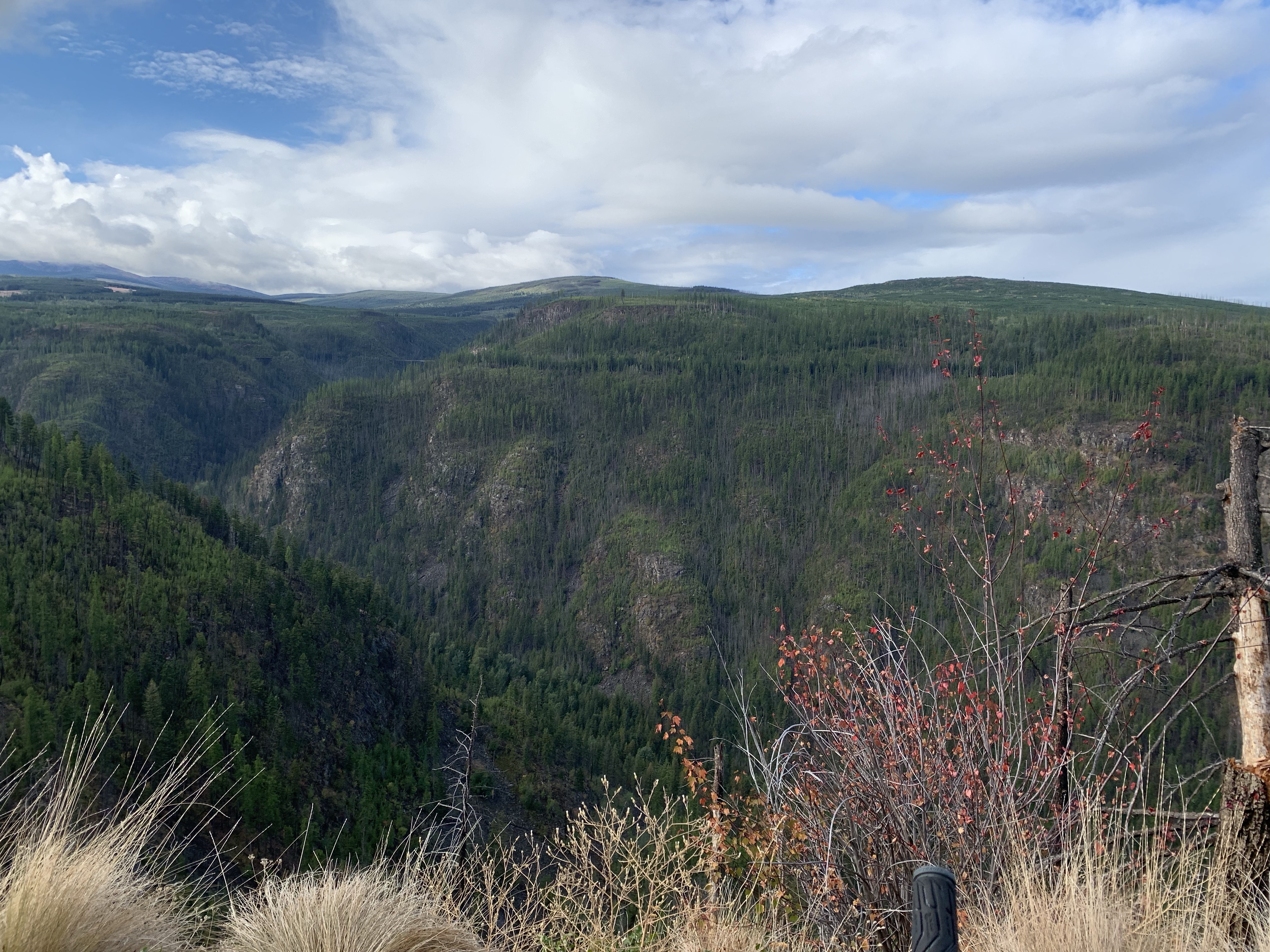
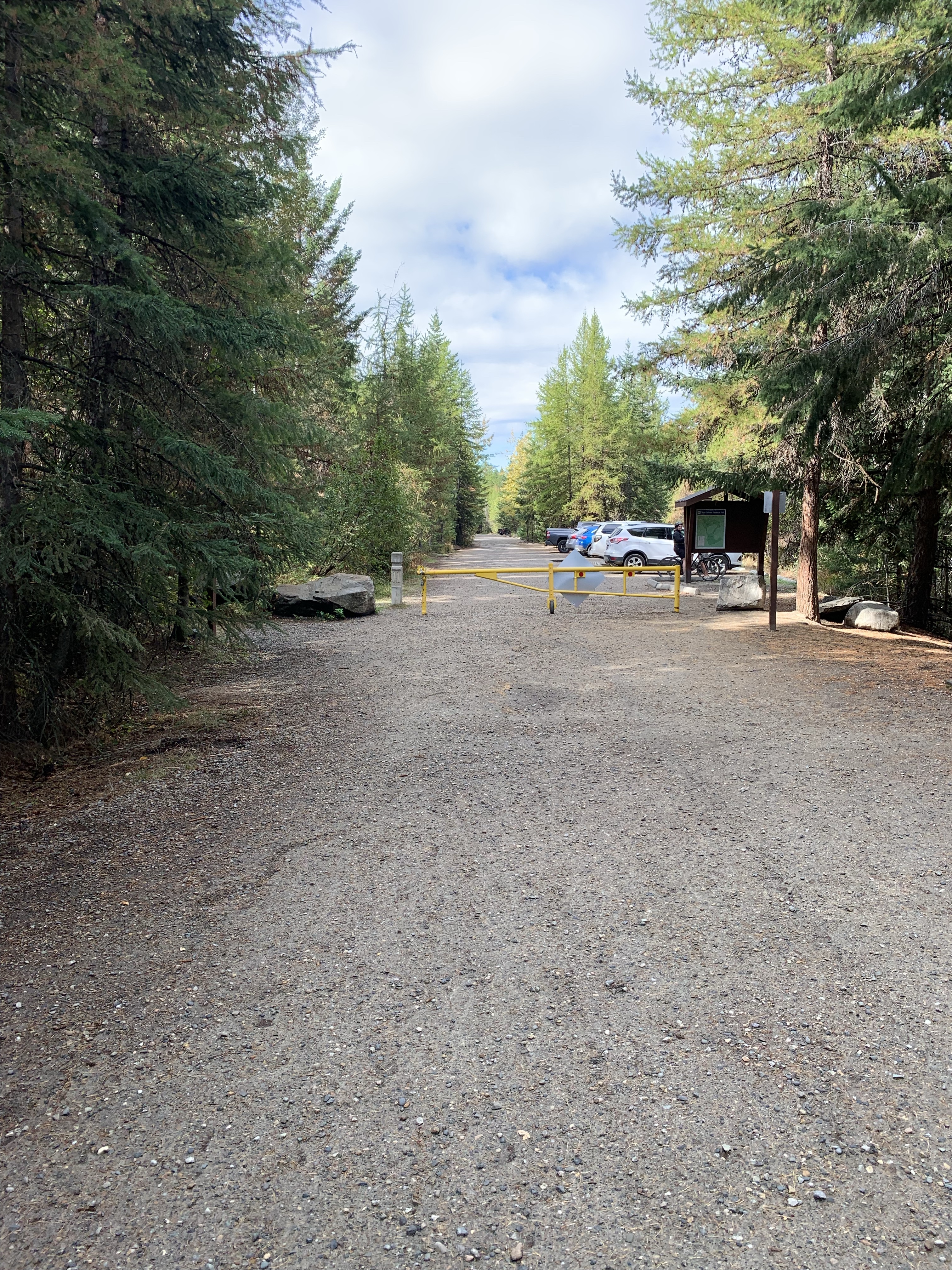
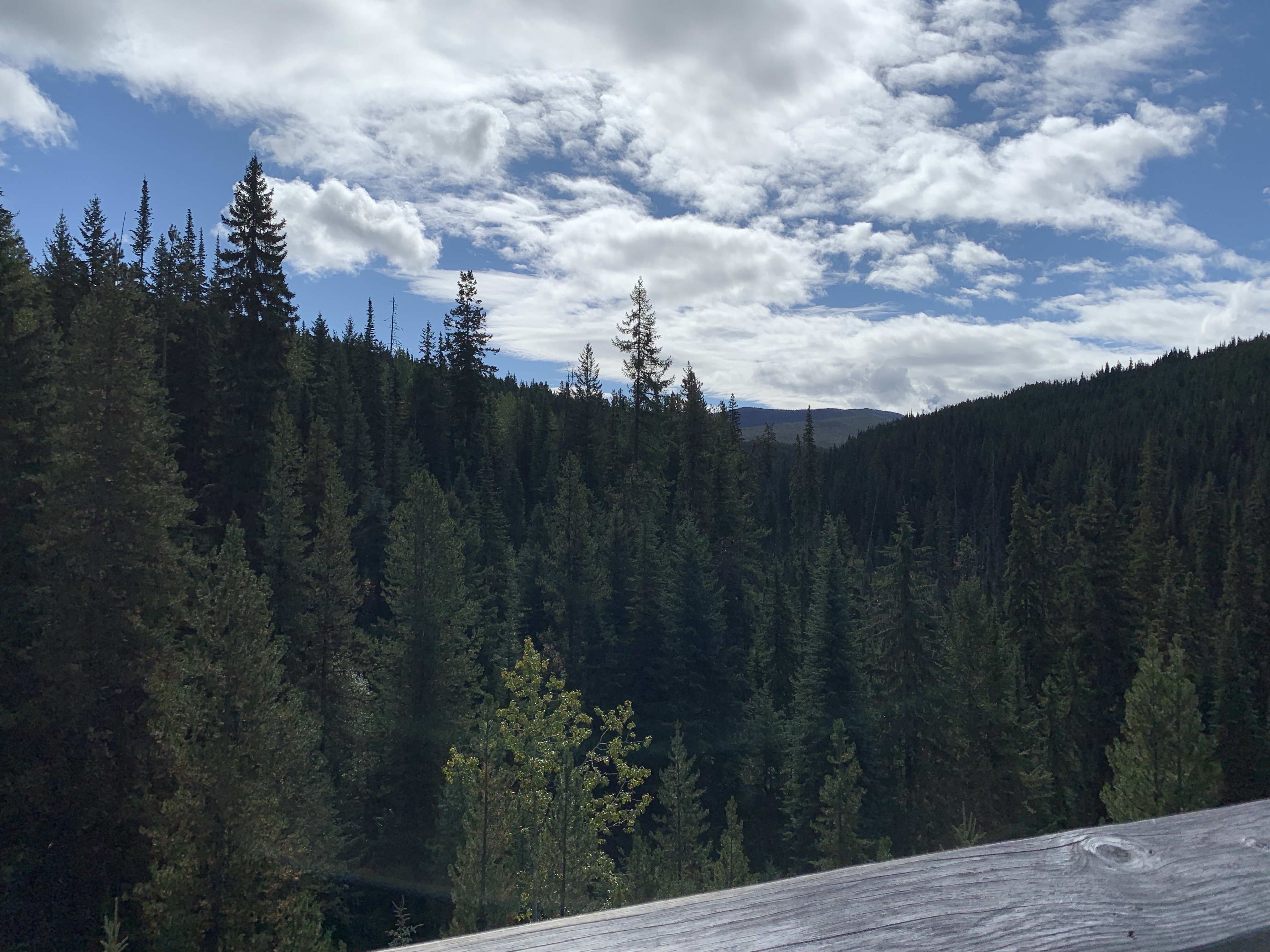
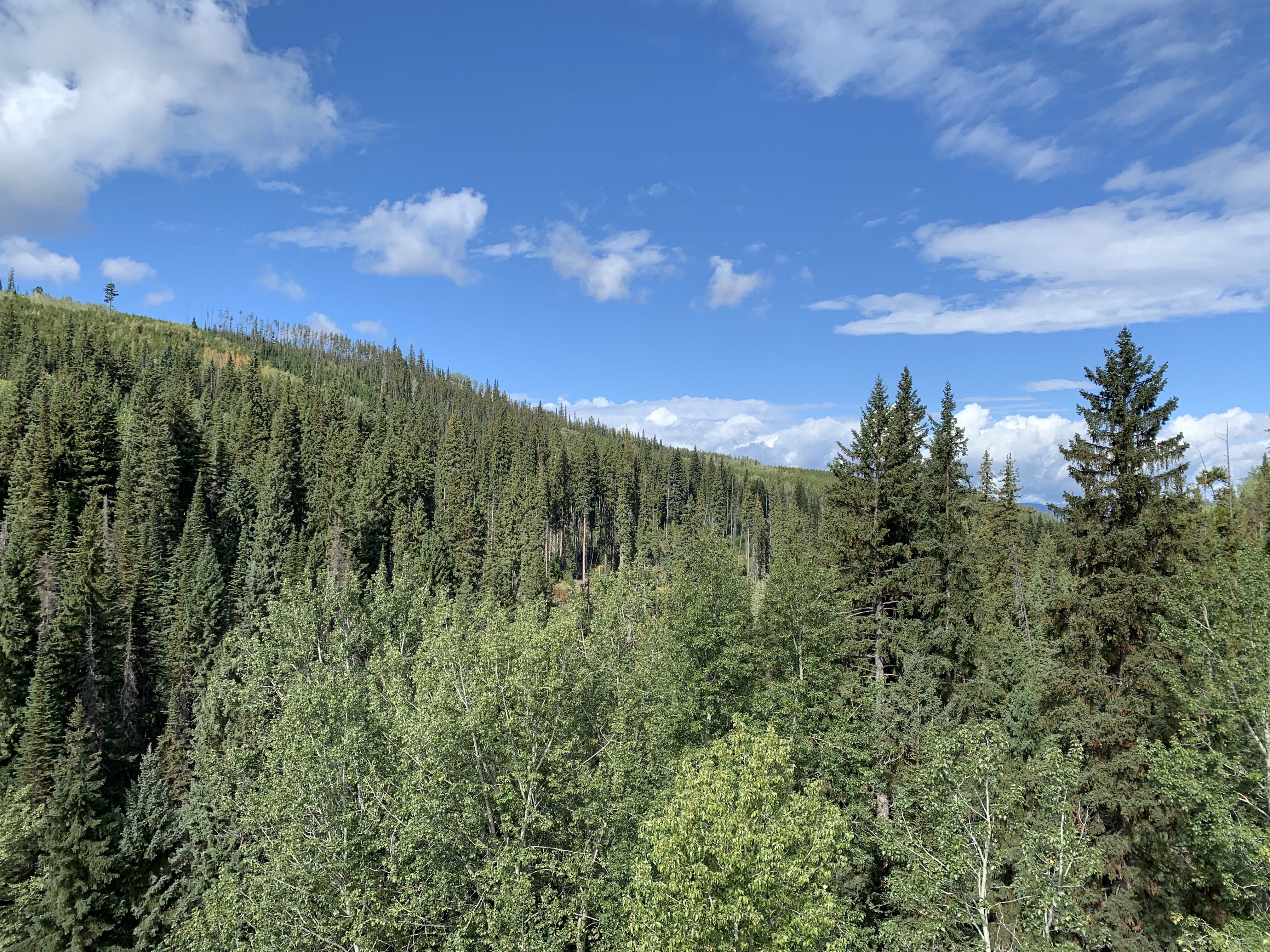
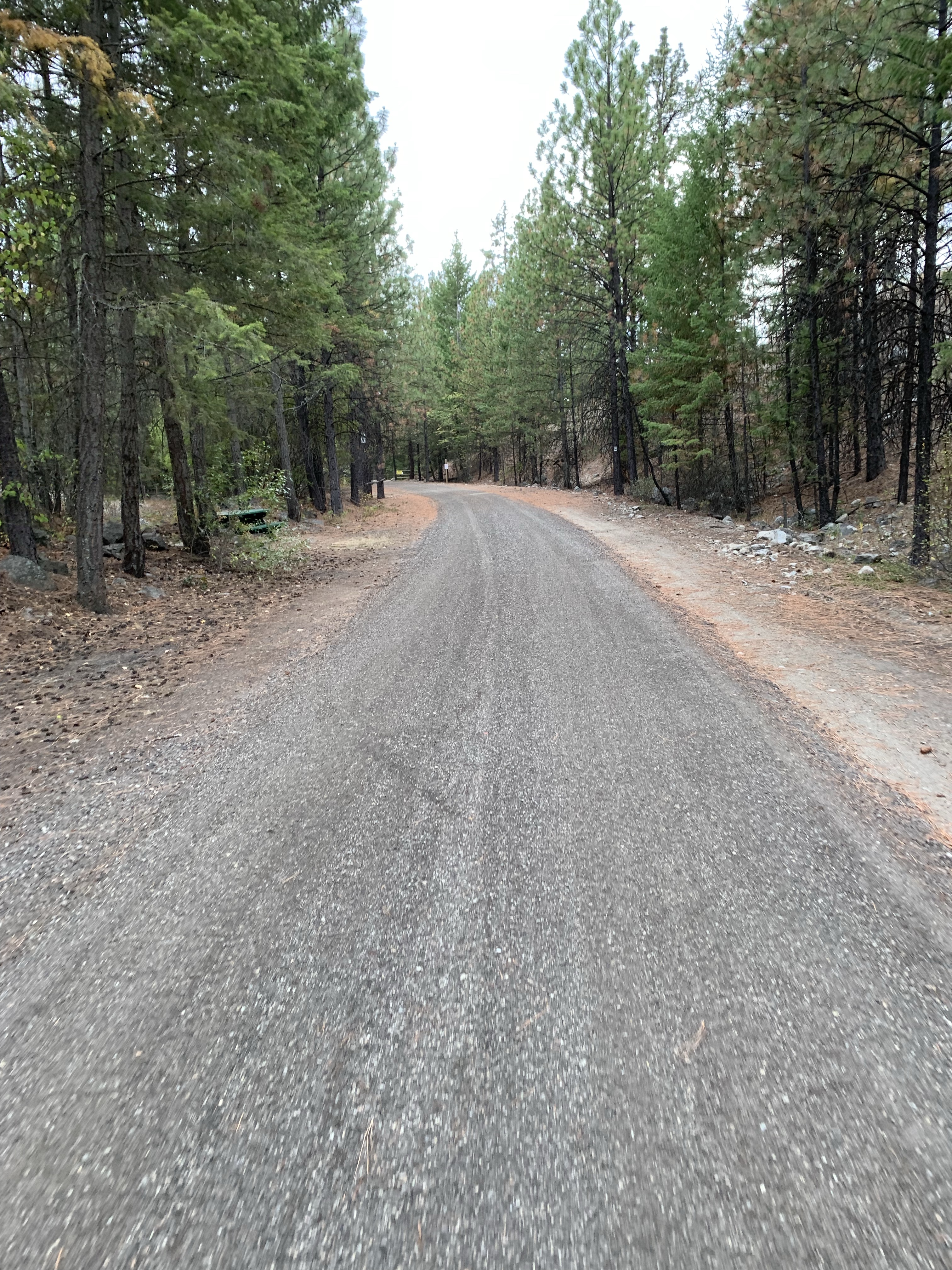
I have done this mountain bike ride once before, it’s truly a classic. The Myra Canyon trestles for the first 11km are incredible. The day started out with a little bit of rain (drizzle really) and from what we read, was supposed to clear up with a high of 21c. The transport driver, Alex, was late and we did get a little worried but he showed up shortly after 7am. After spending a few minutes getting the bike rack on with our bikes, stopping for coffee (and tea) at Tim Hortons, we were on our way.
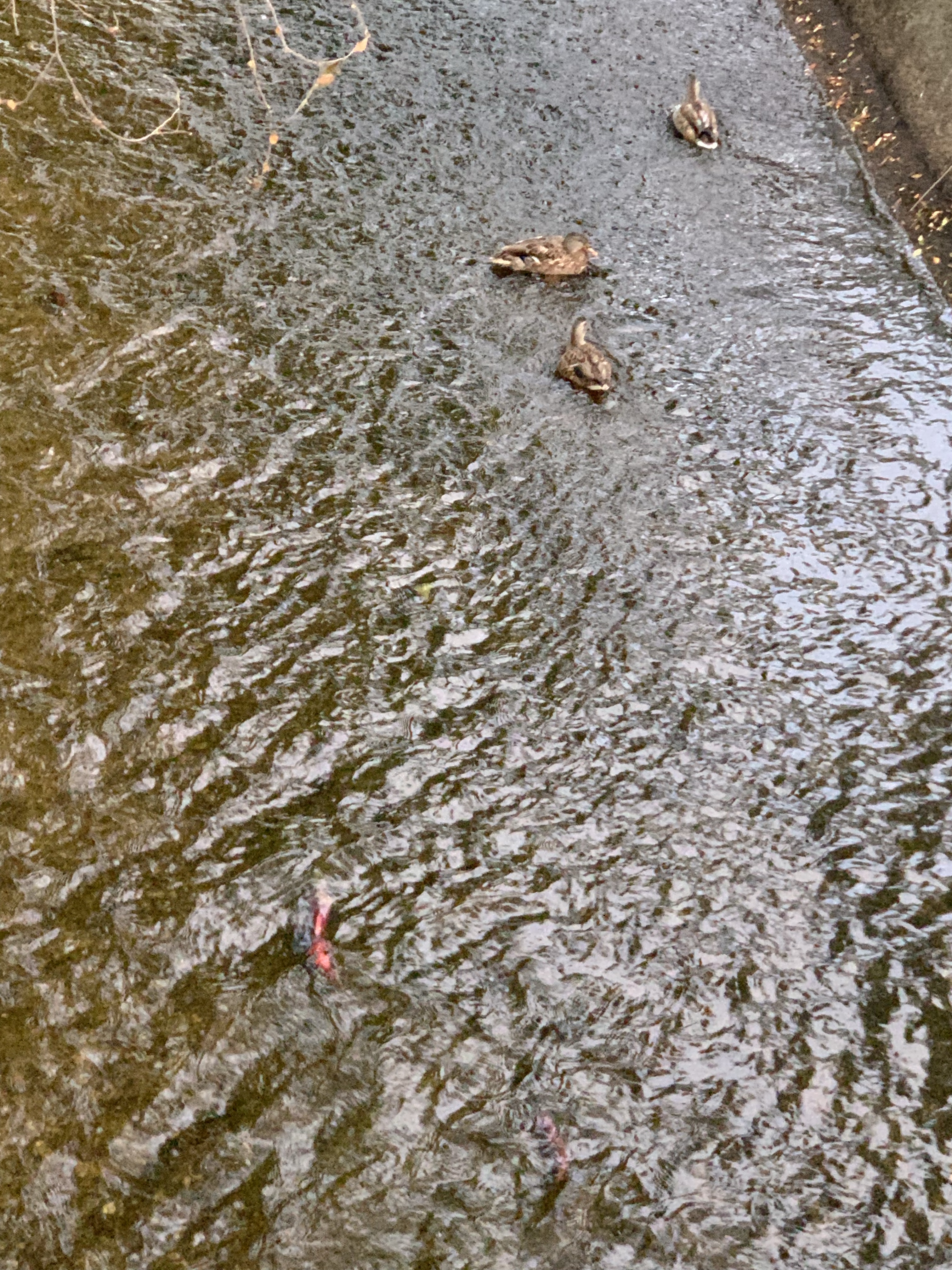
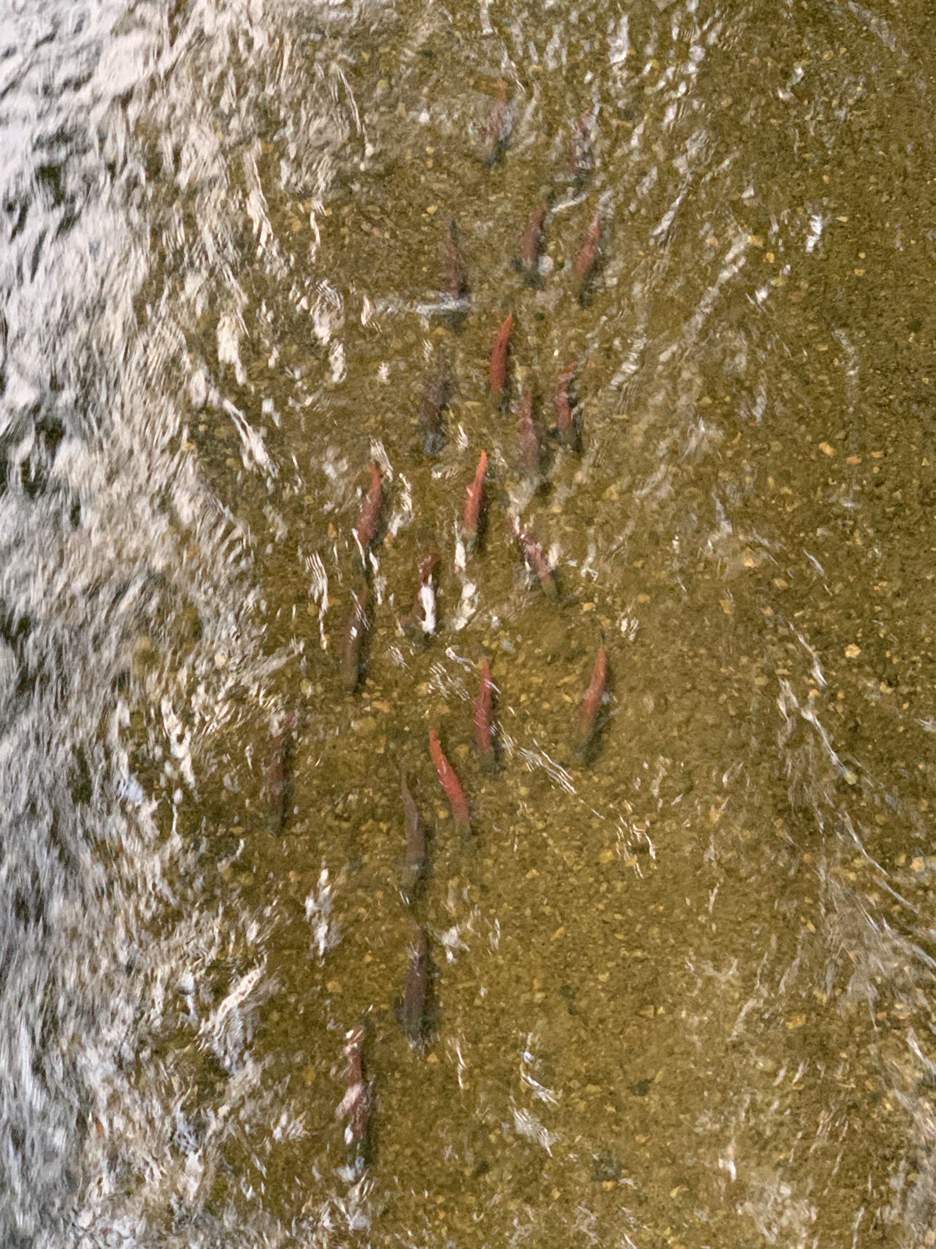
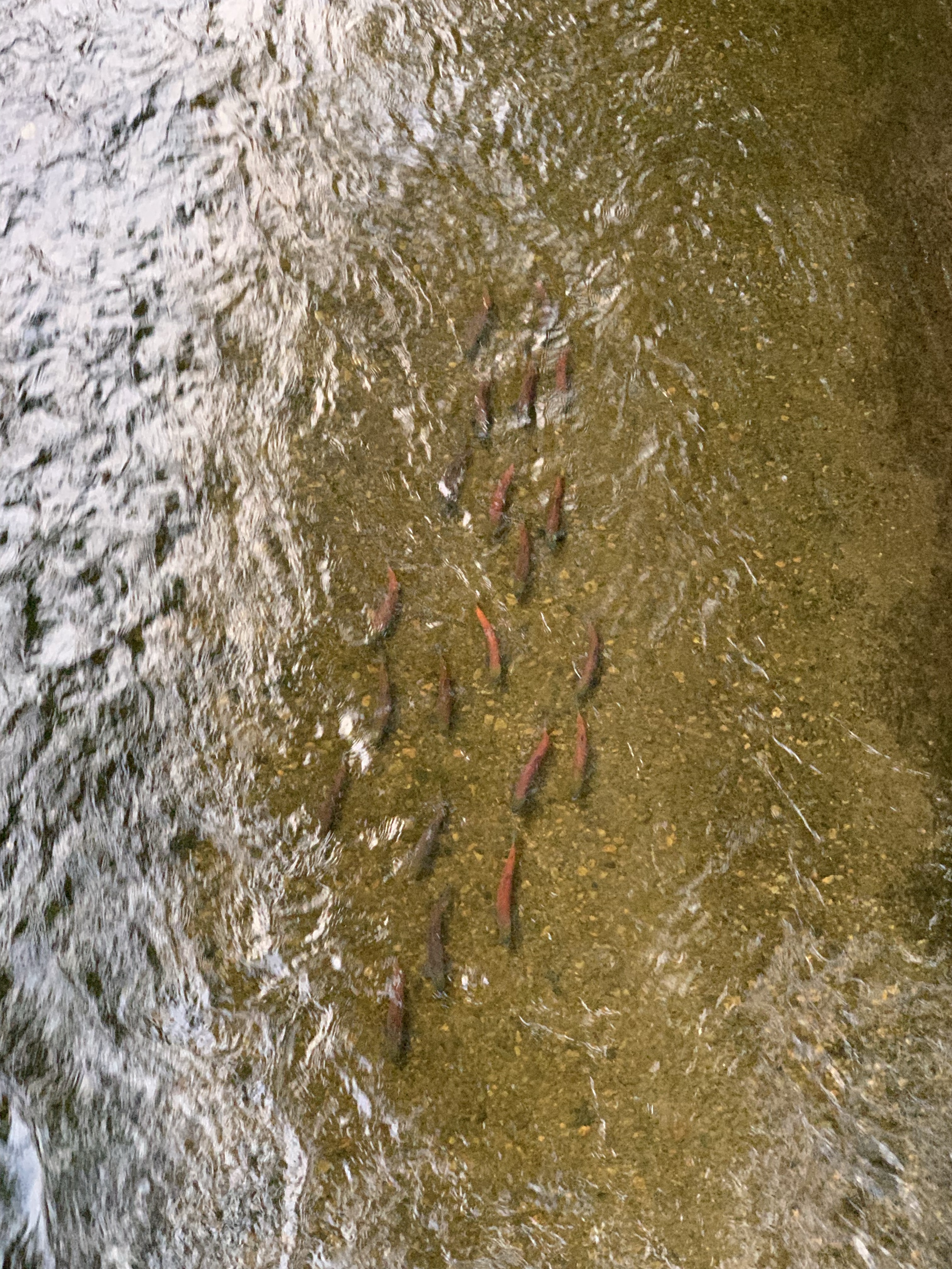
While we were waiting for our shuttle to take us from Penticton up to Myra Canyon, we took a little stroll to a bridge where it was pointed out to me the trout that were spawning. A gentlemen stopped to explain to me they were Kokanee and started to tell me a little history. 🙂
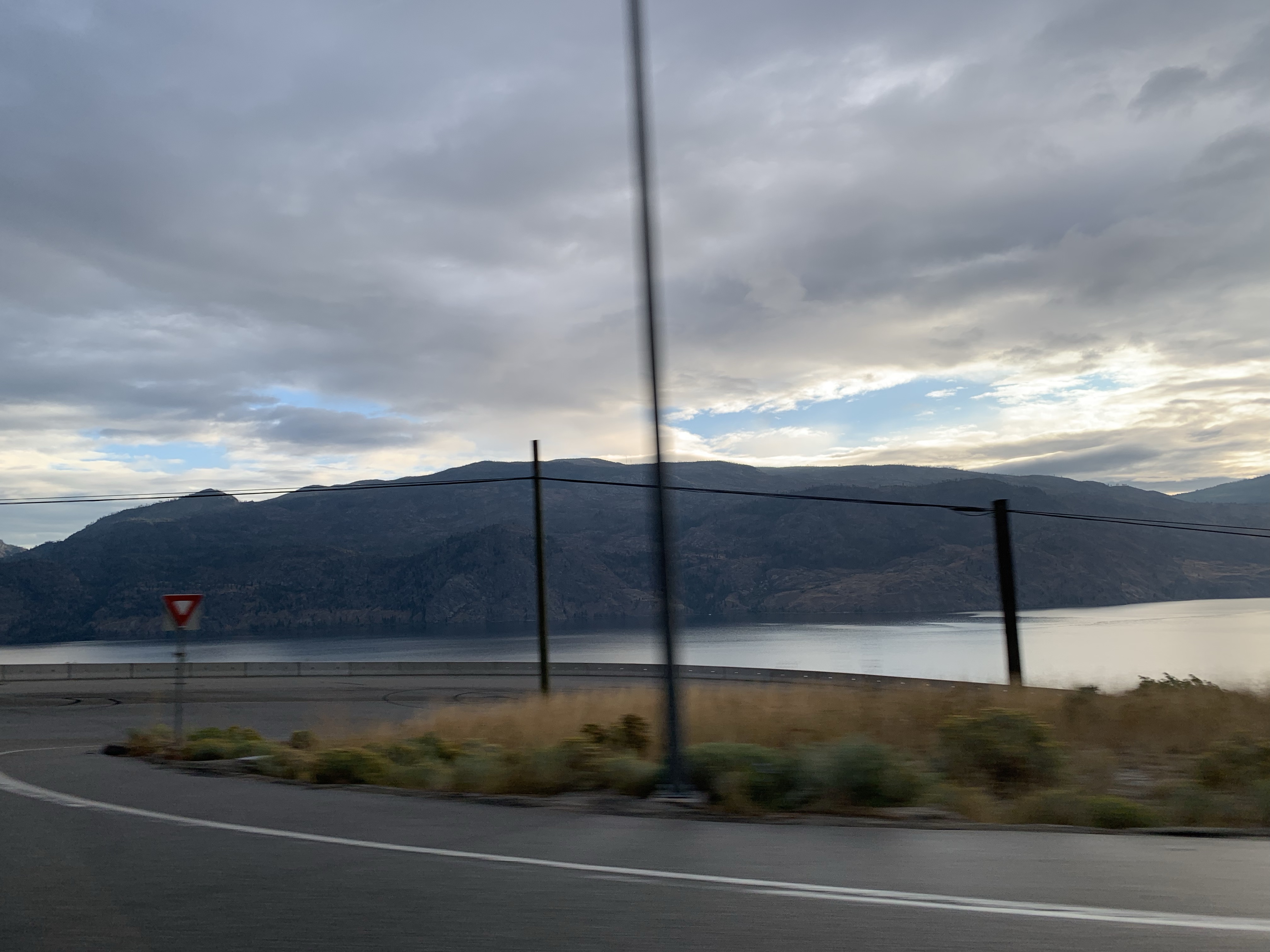
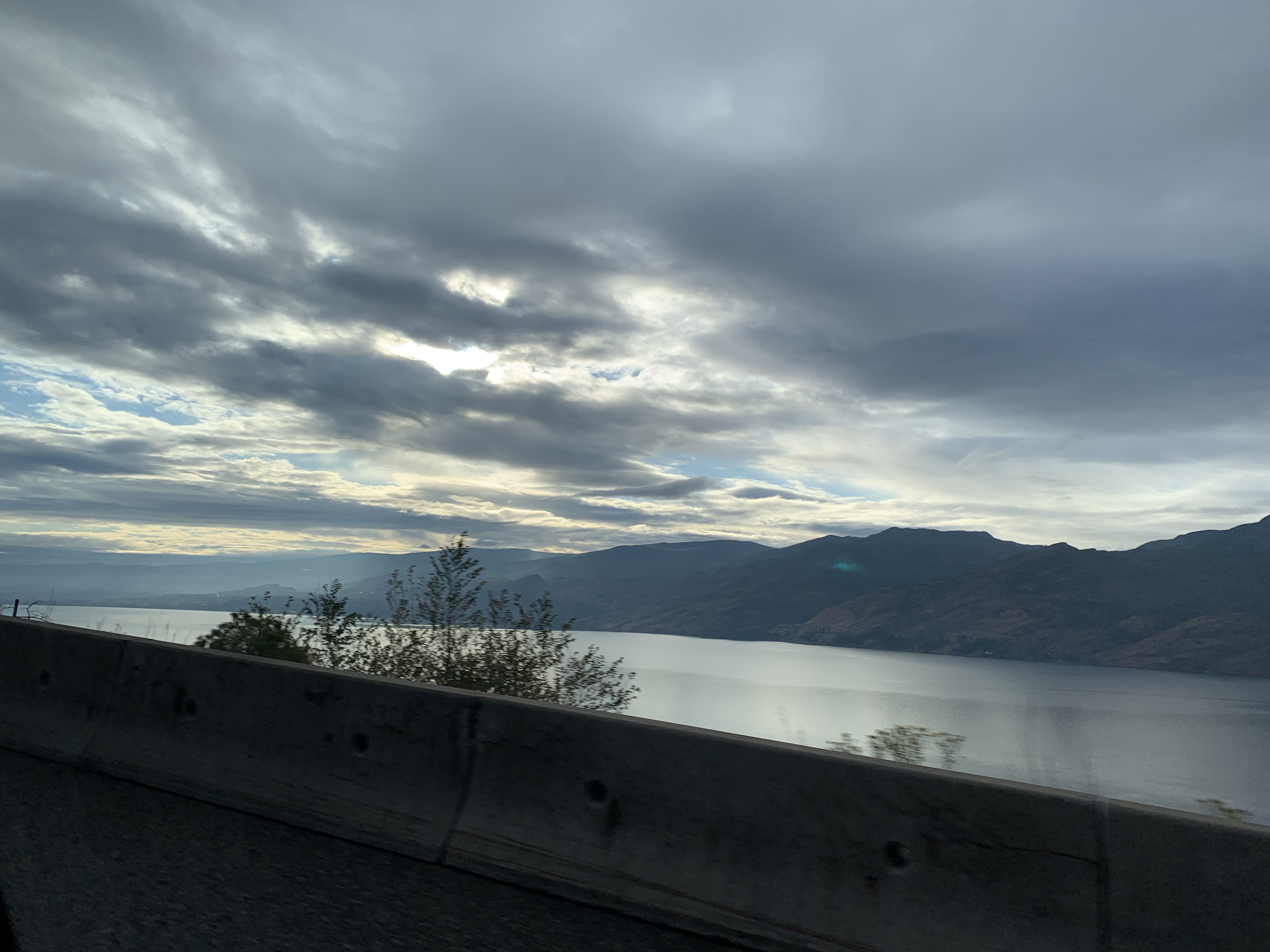
It’s a nice drive. This time, it was just the three of us in the van with me in the back enjoying the view and my Tim Hortons tea.
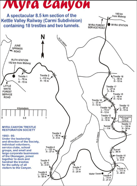
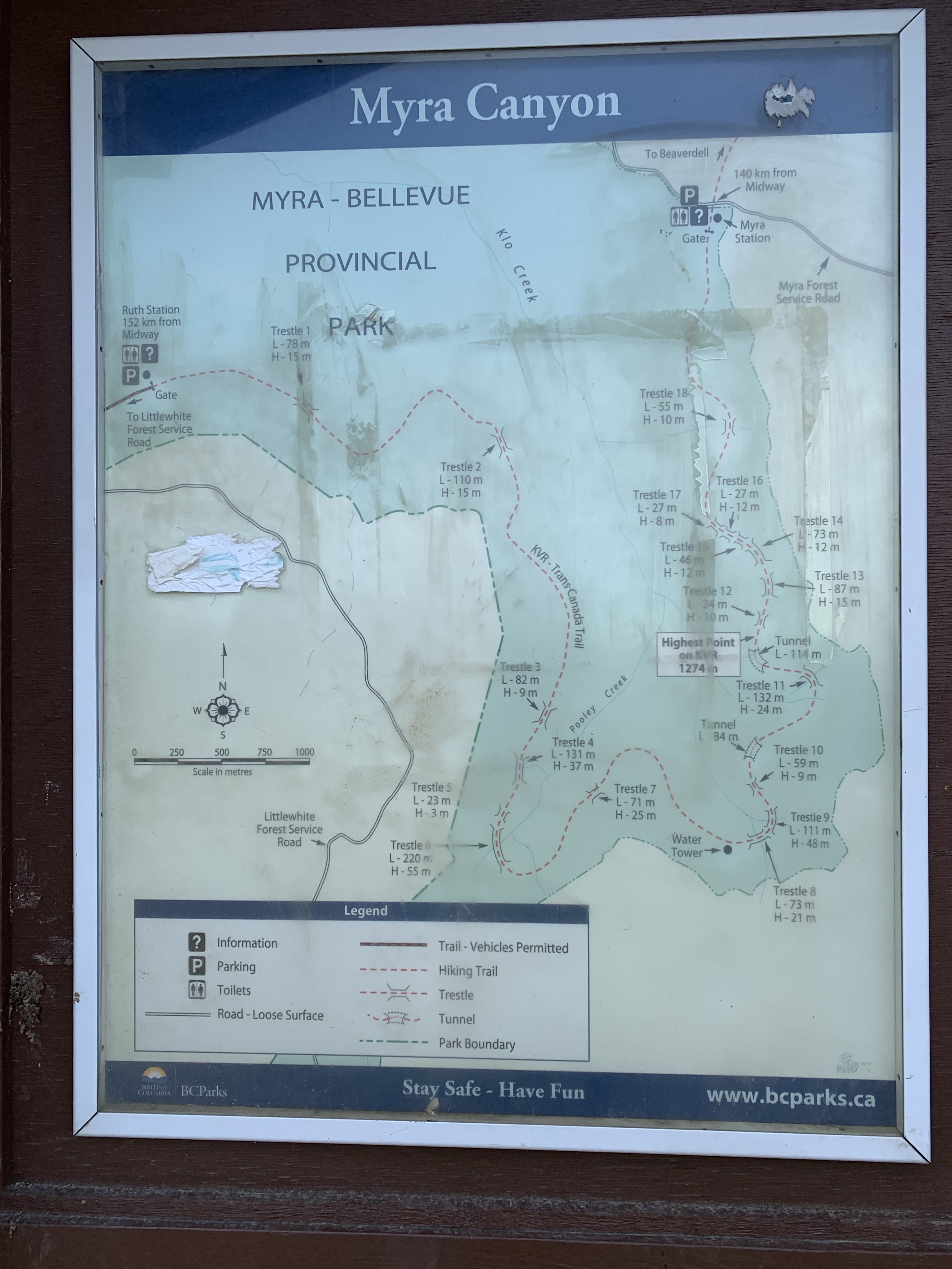
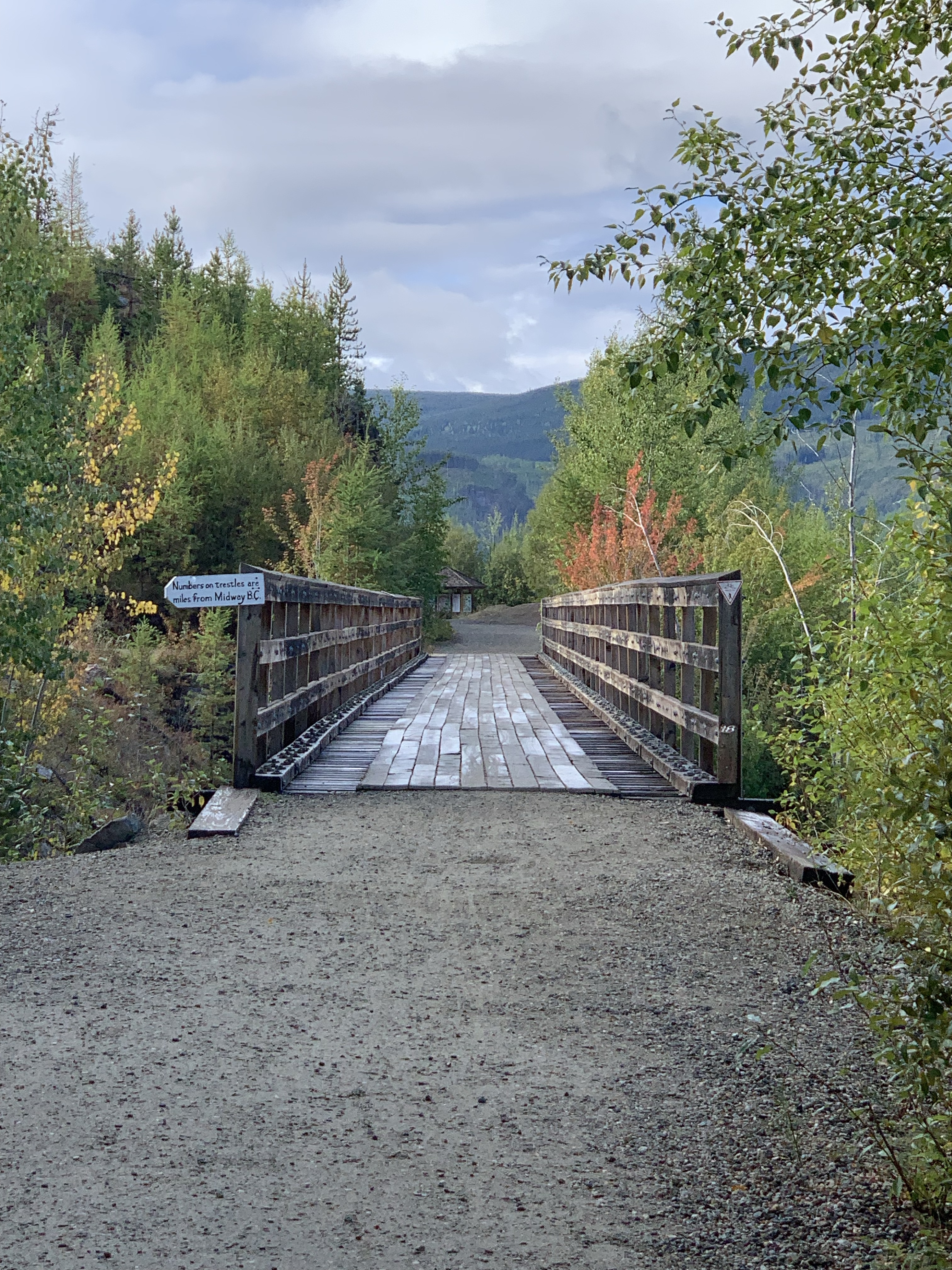
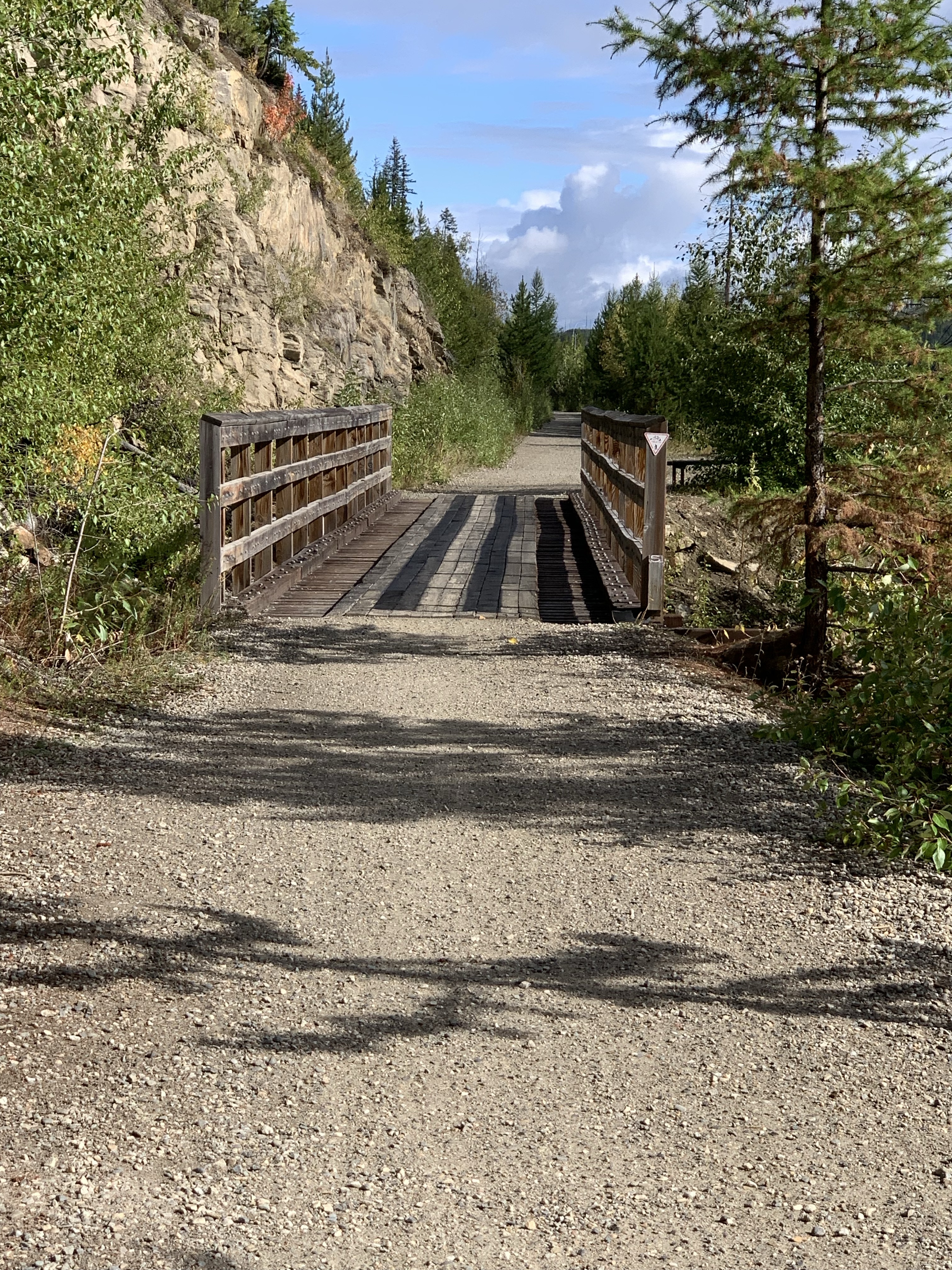
*Trestle 18 (M85.0; km136.8) 180 feet long. M means miles from Midway, BC. (Midway being M0.0 and the start of the CPR’s abandoned Carmi Subdivision). 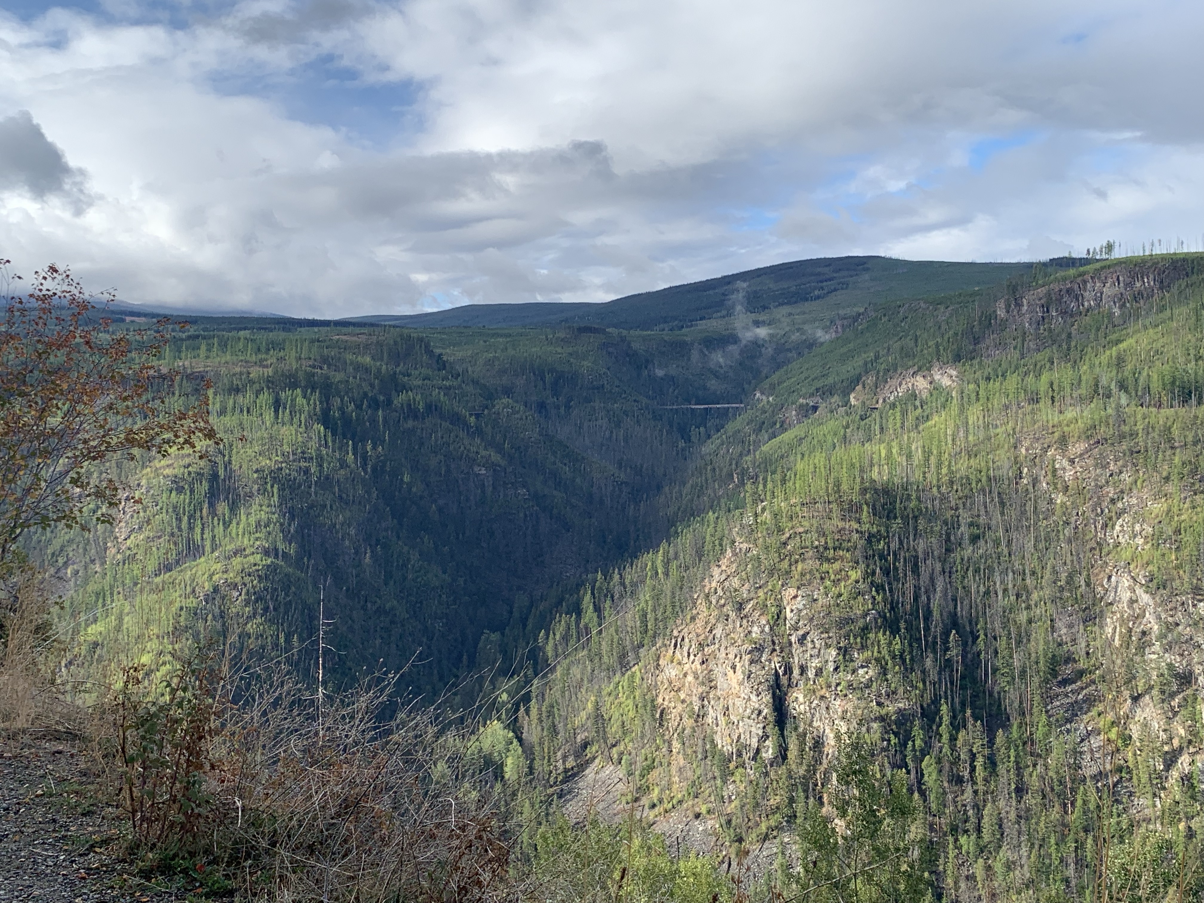
*Trestle 17 (M85.2; km137.1) 90 feet long. 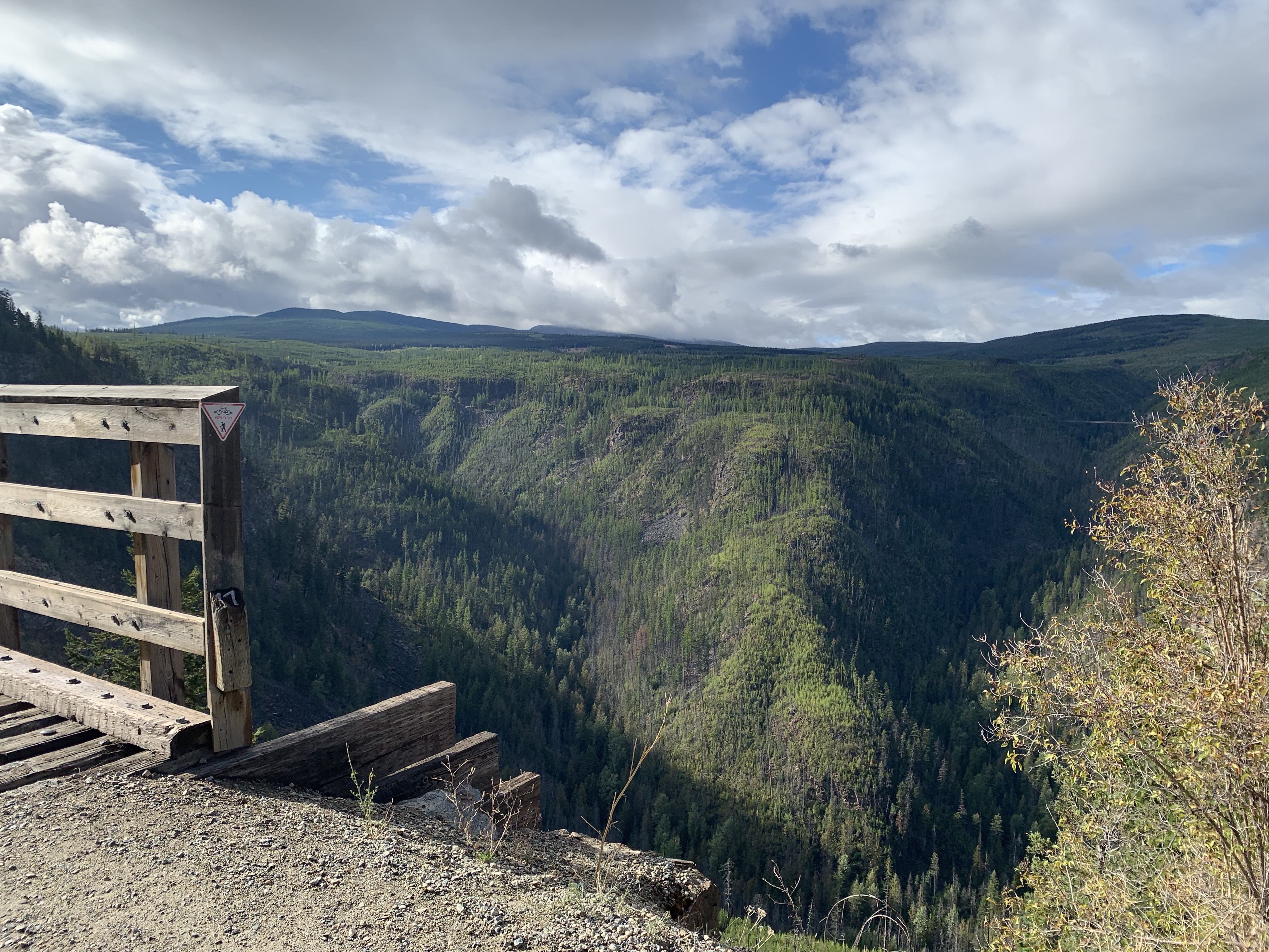
*Trestle 16 (M85.2; km137.2) 90 feet long. 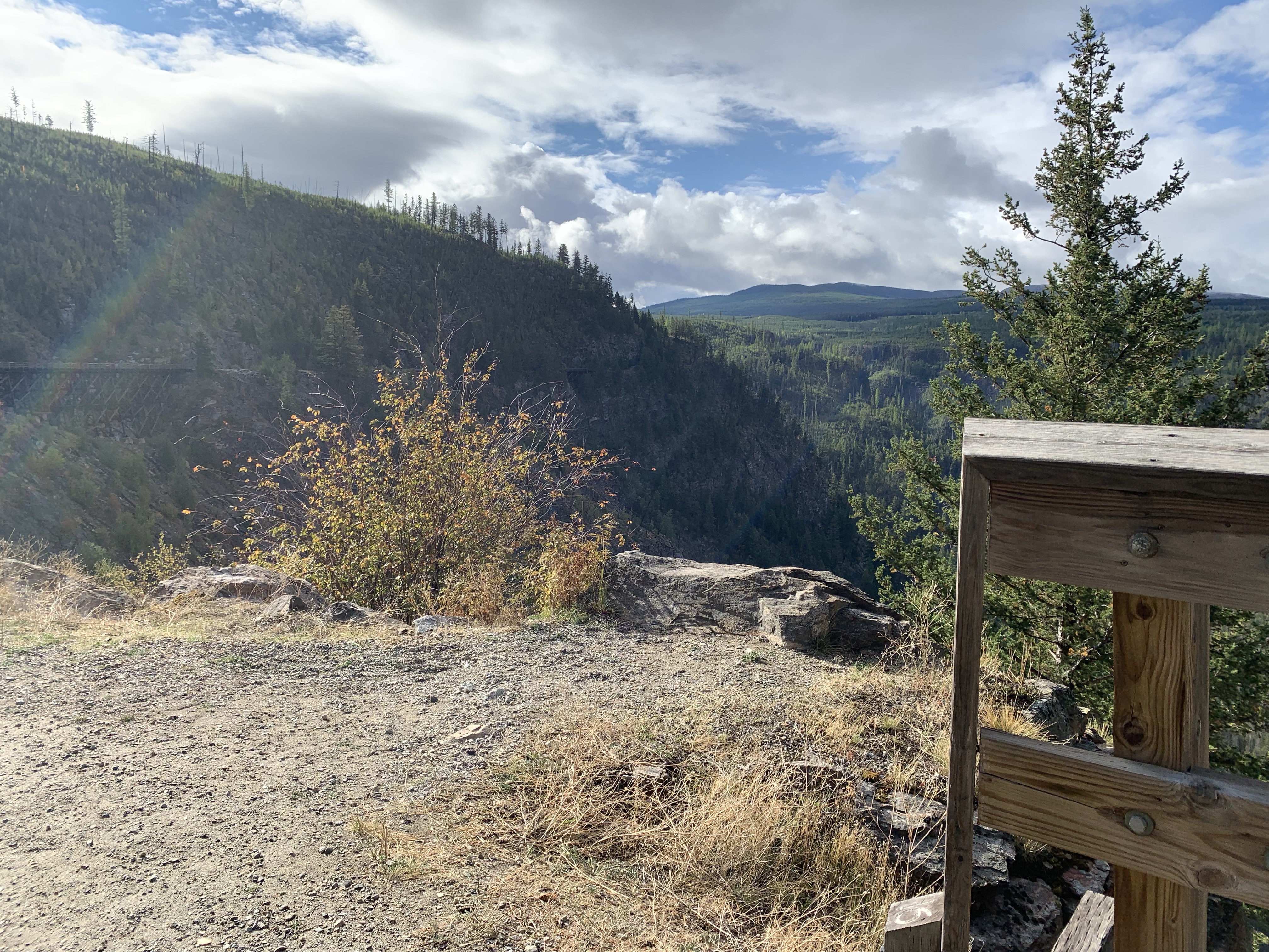
*Trestle 15 (M85.3; km137.3) 145 feet long. 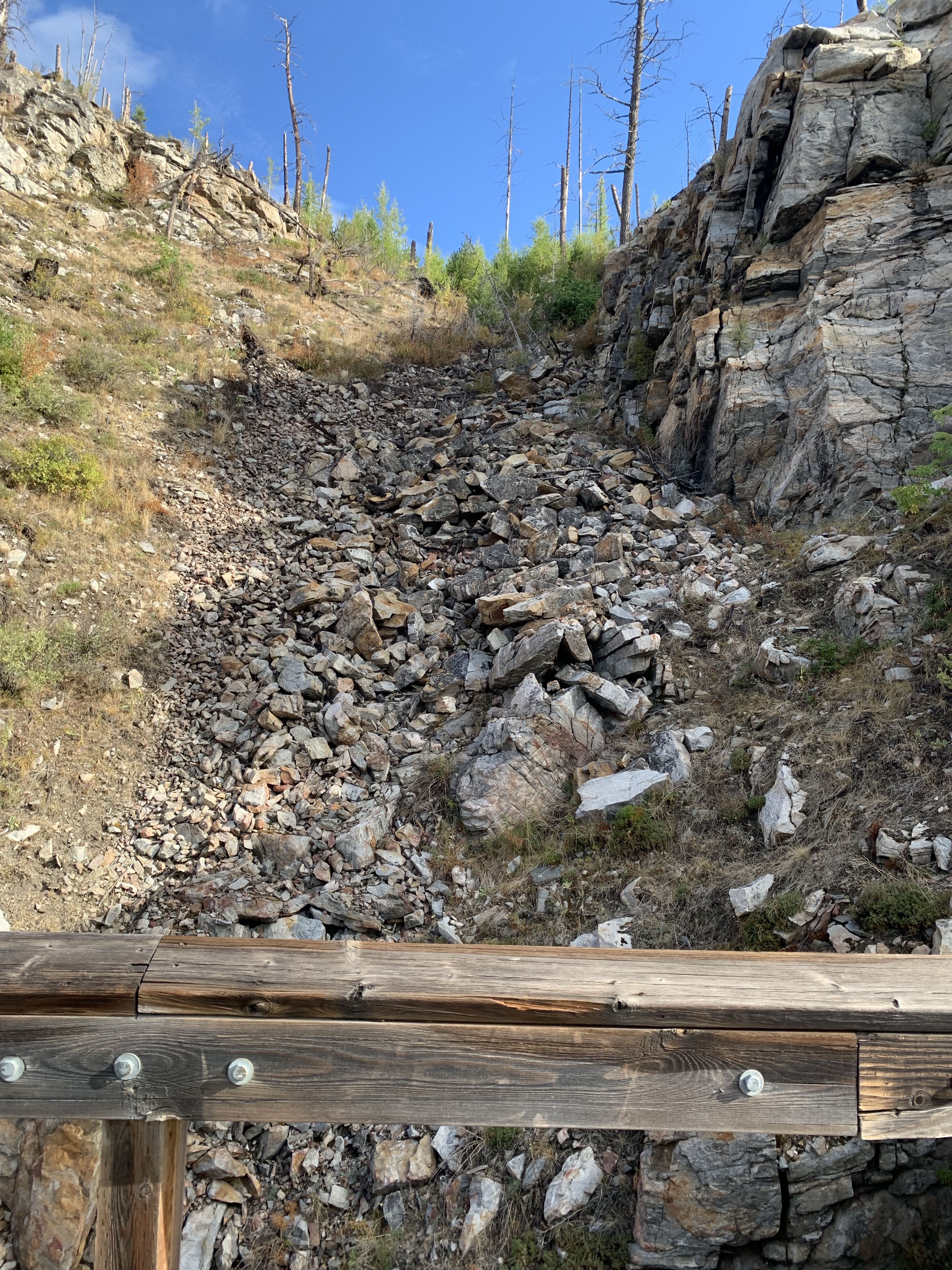
*Trestle 14 (M85.4; km137.4) 240 feet long. 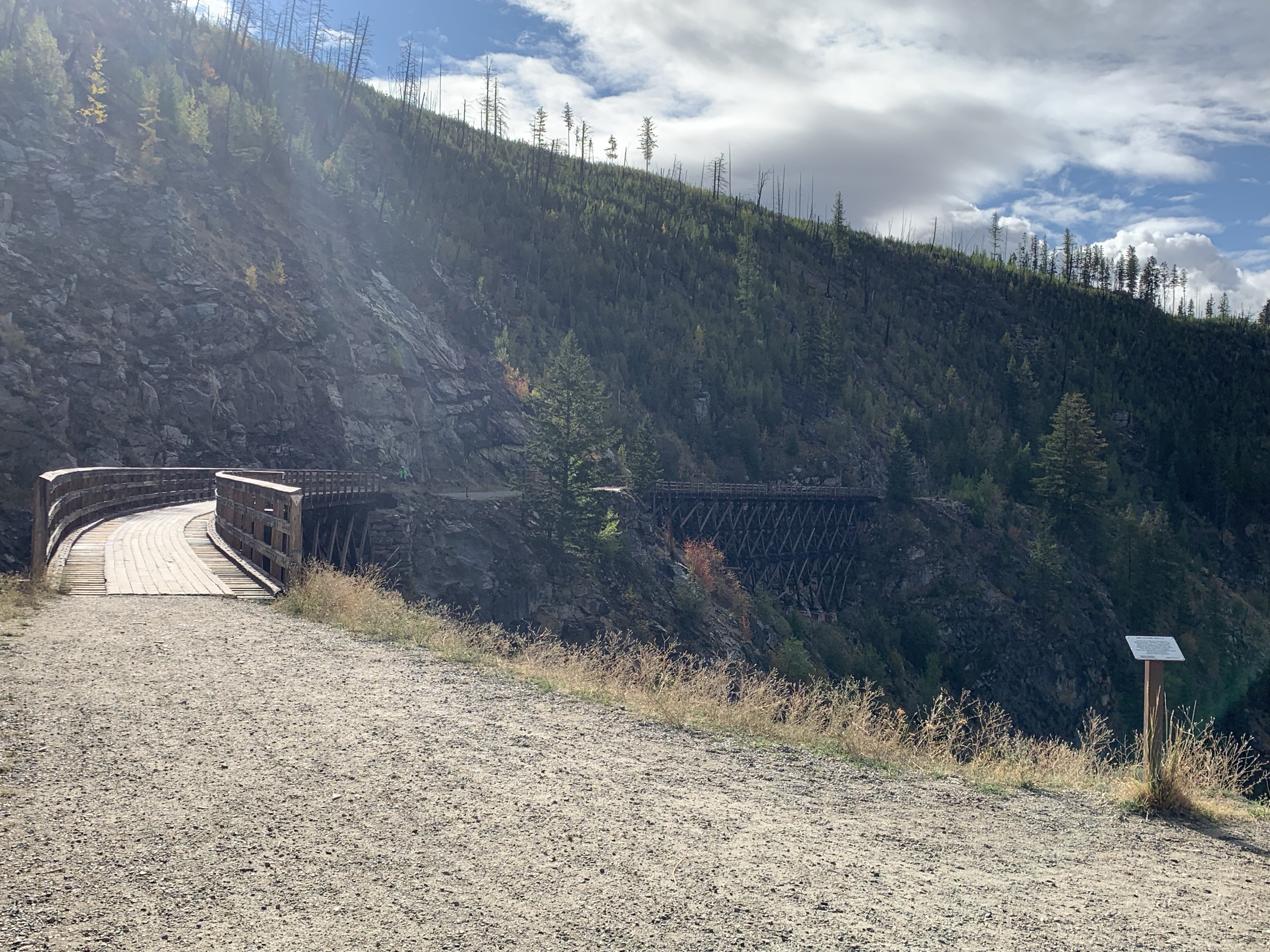
*Trestle 13 (M85.5; km137.6) 285 feet long. 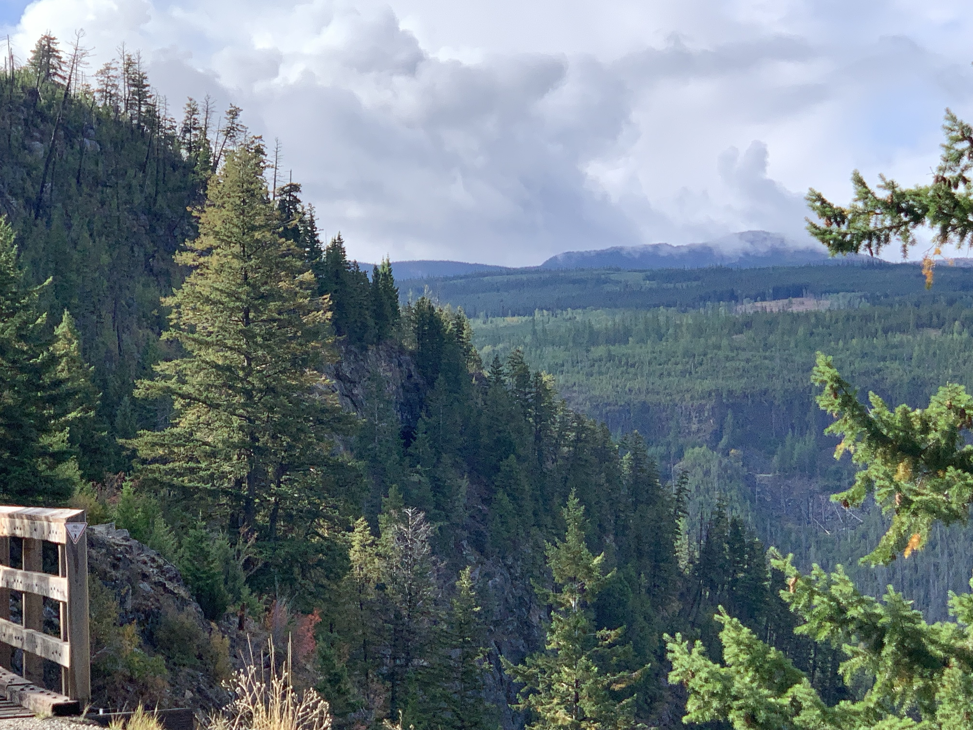
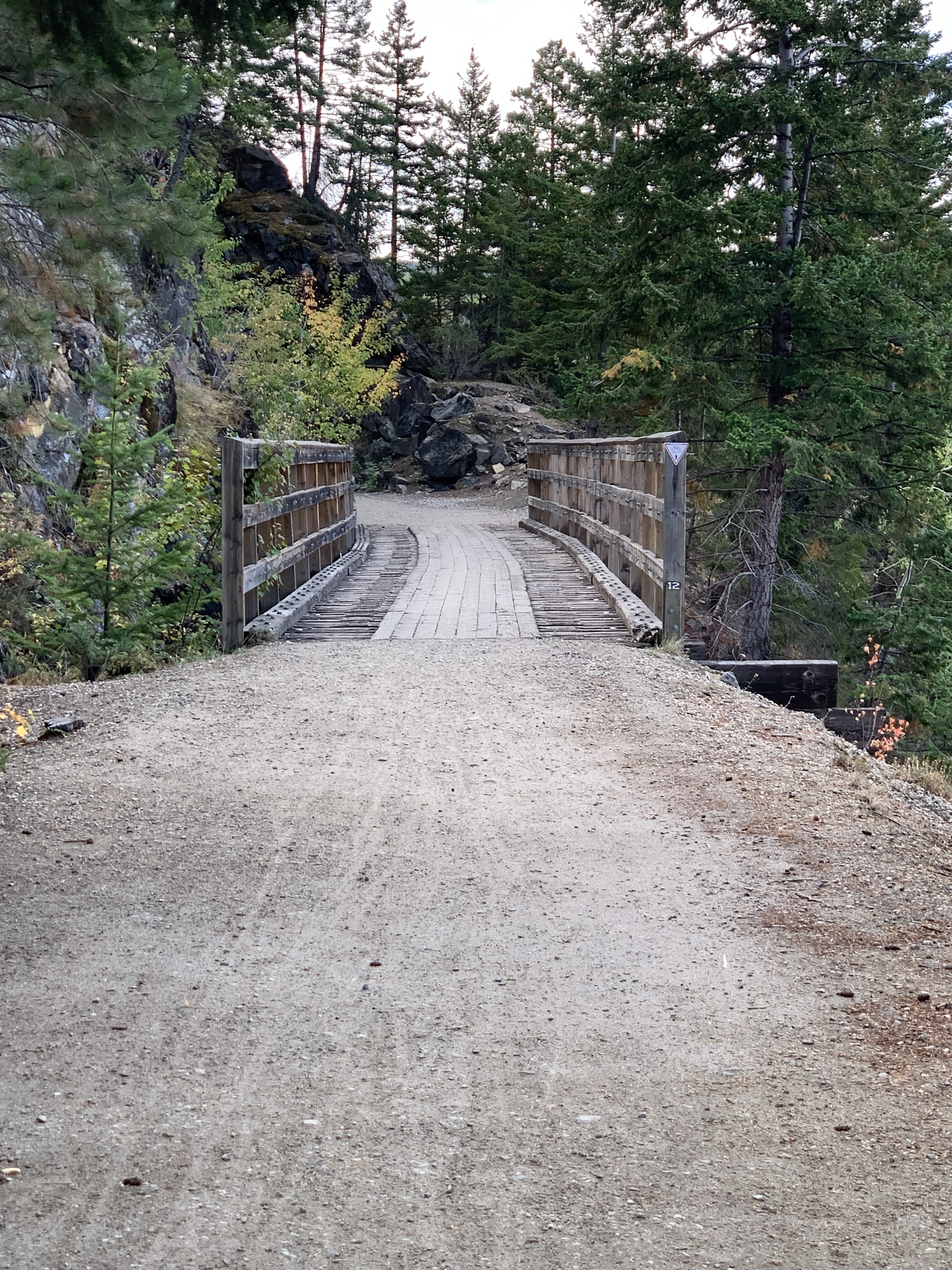
*Trestle 12 (M85.6; km137.7) 80 feet long. 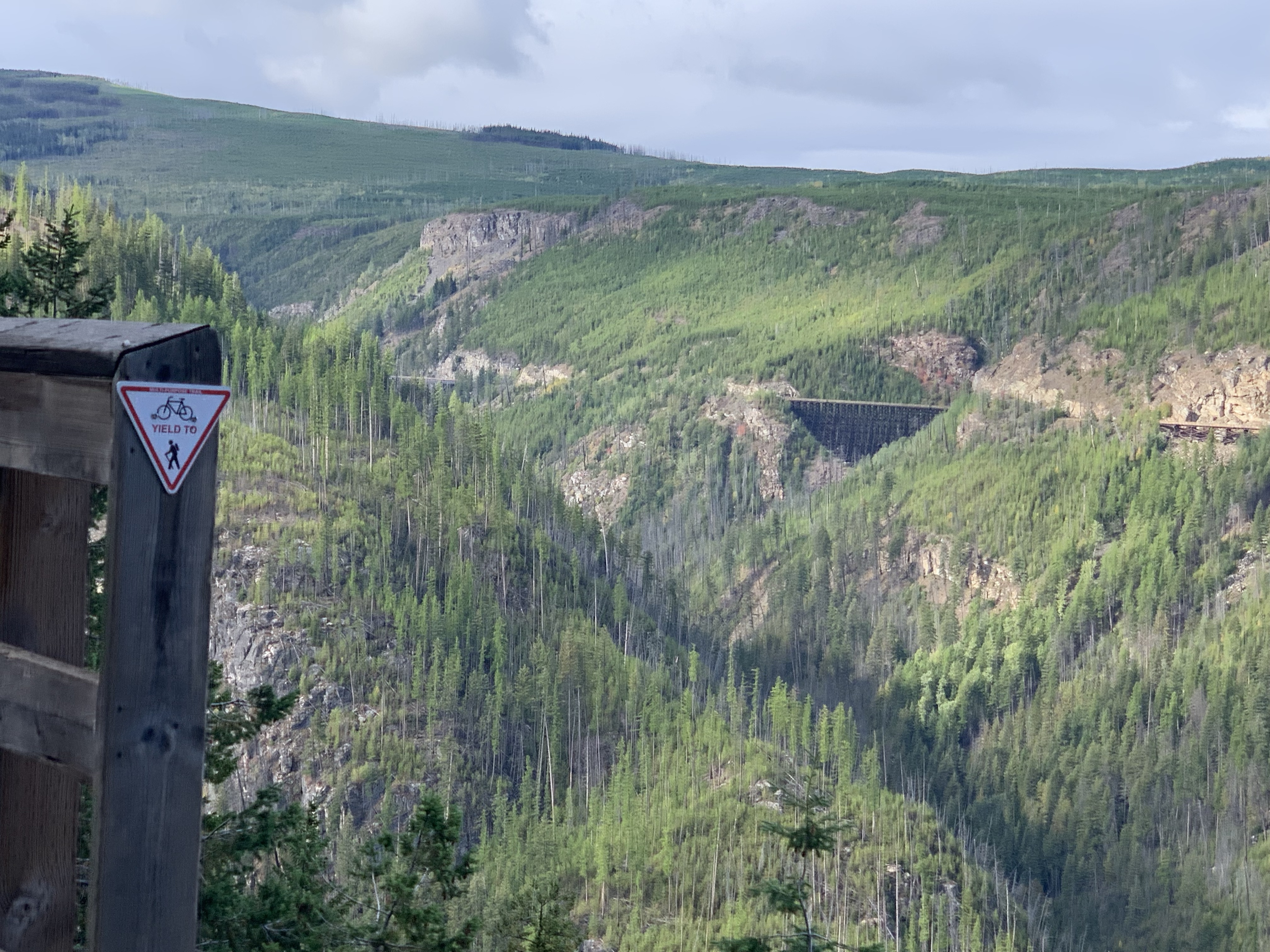
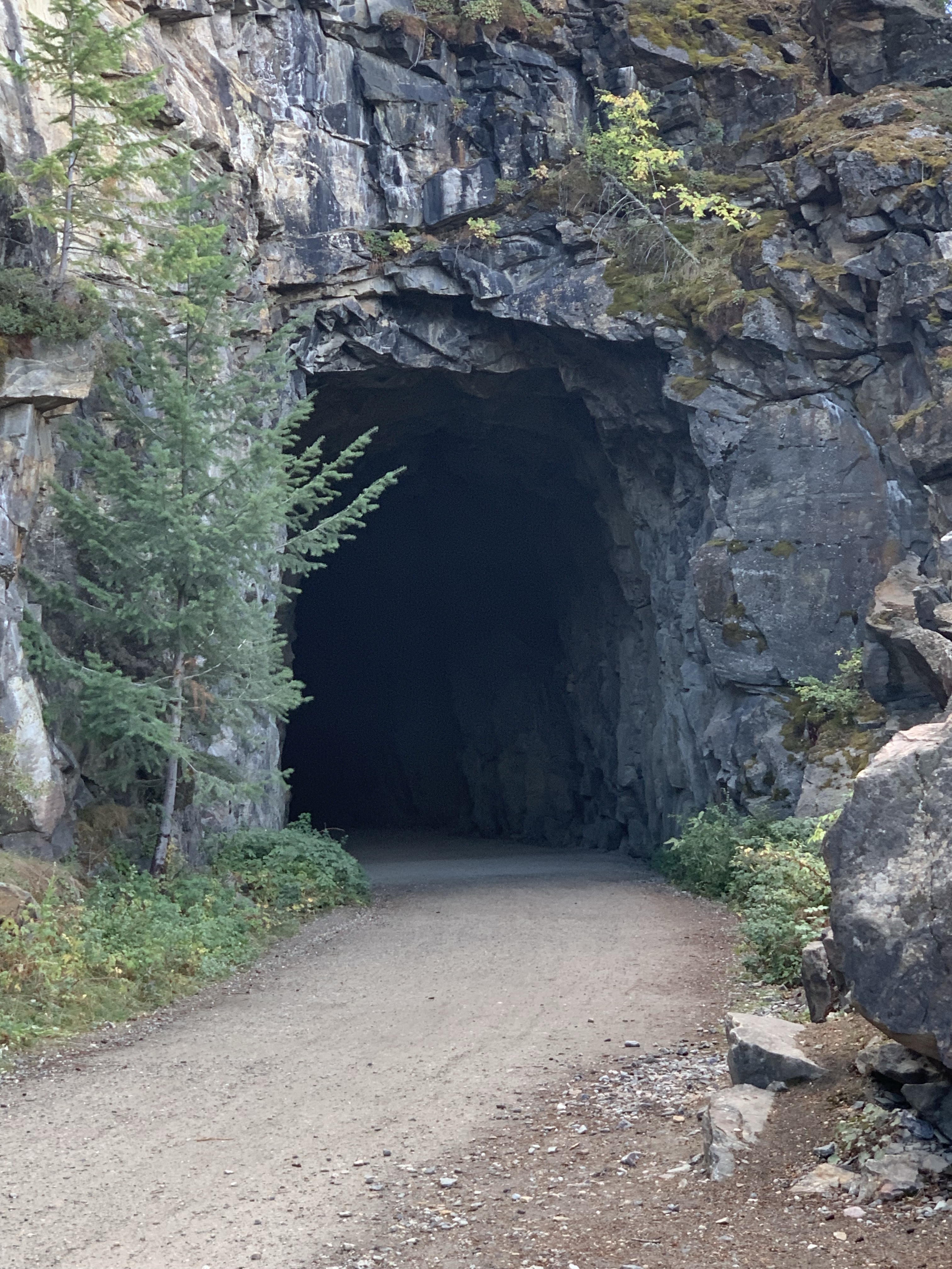
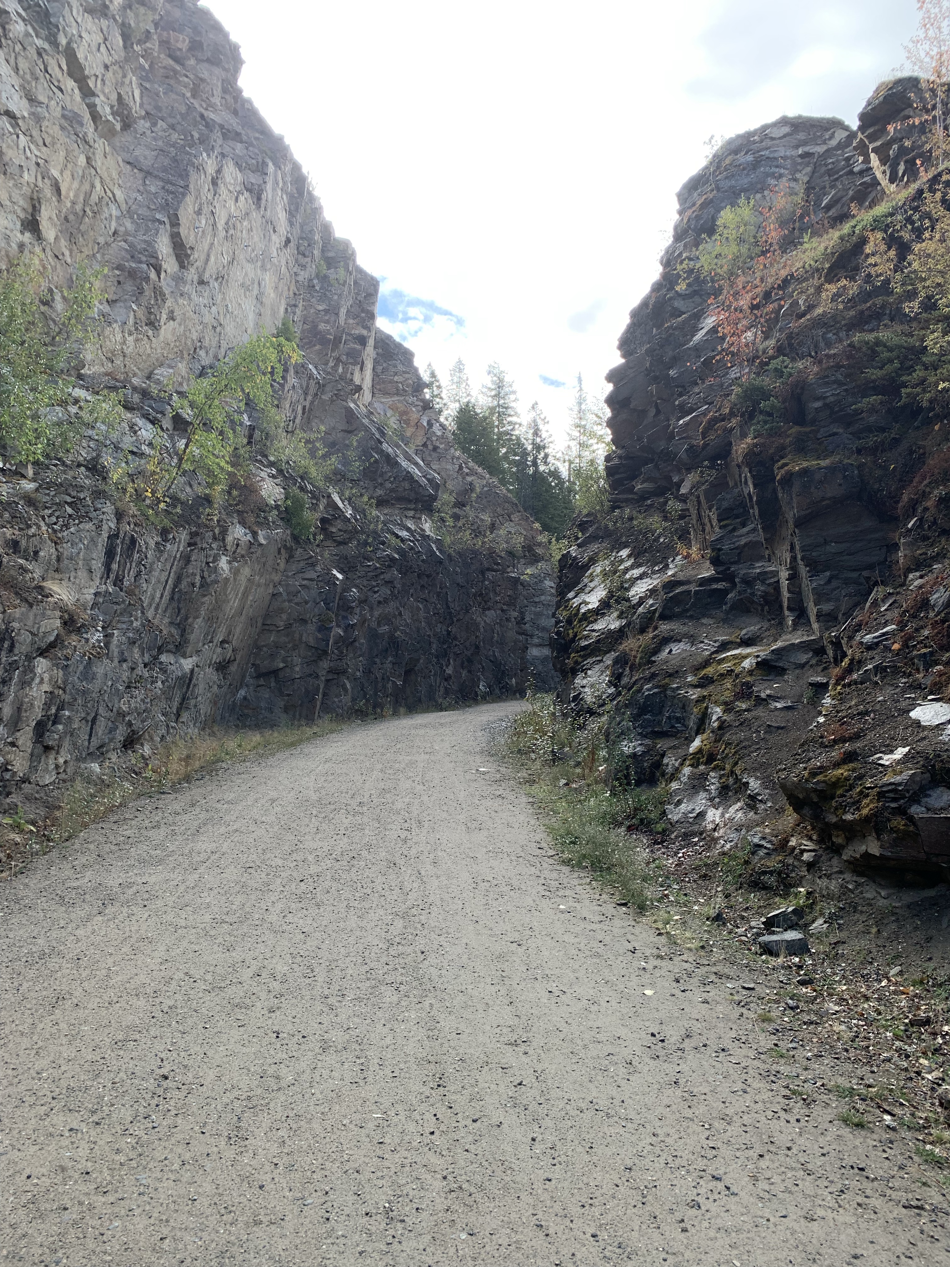
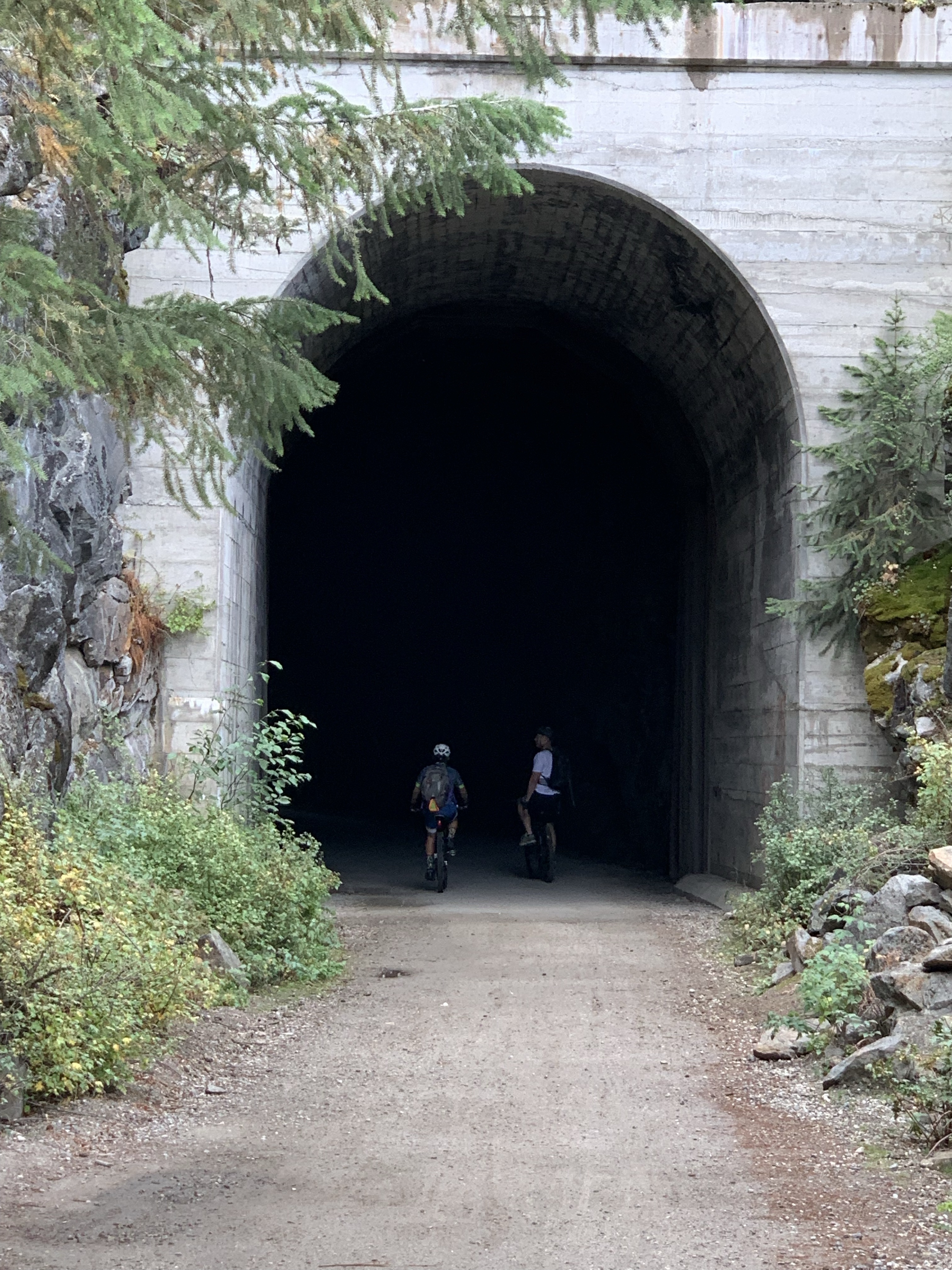
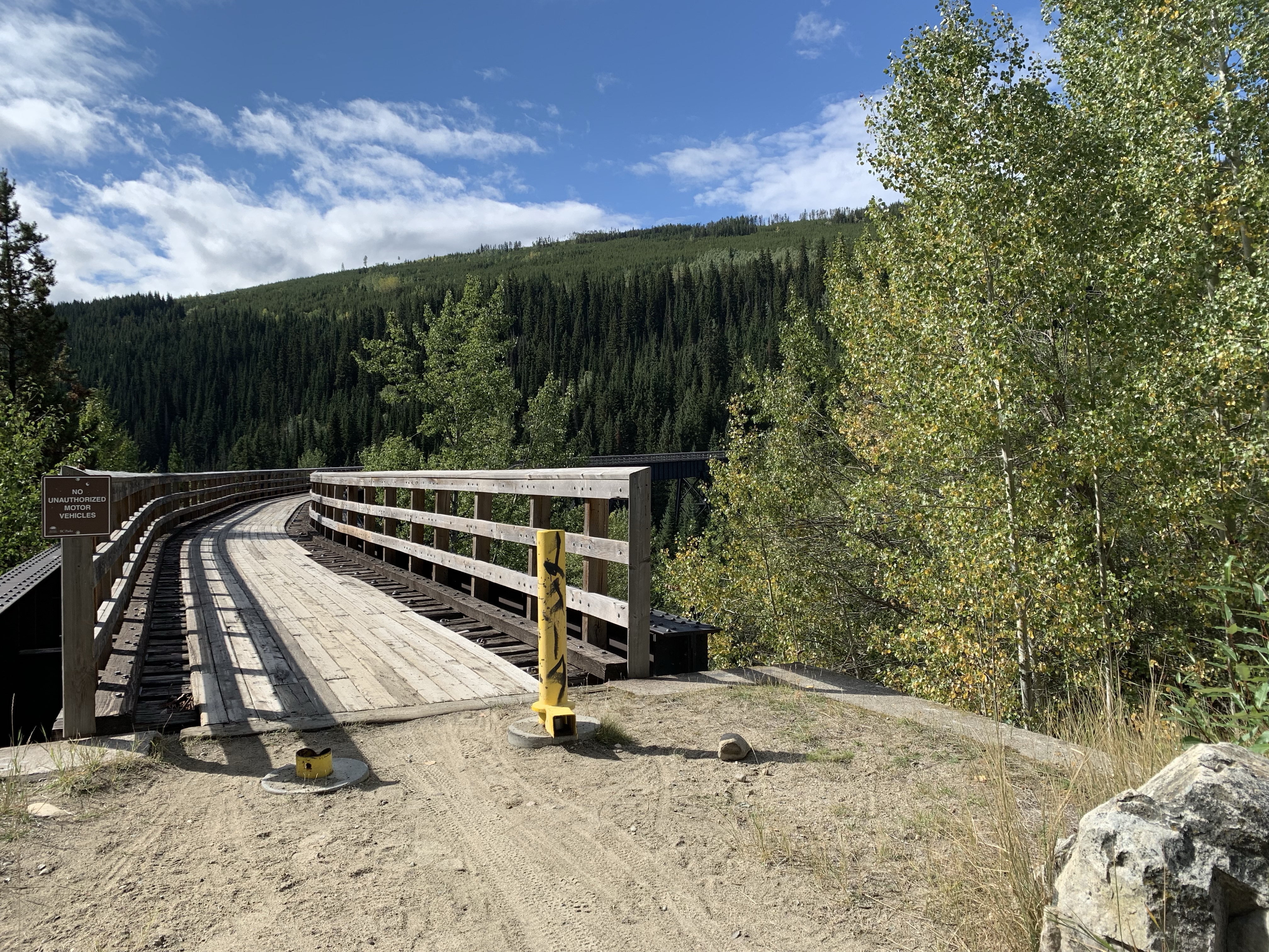
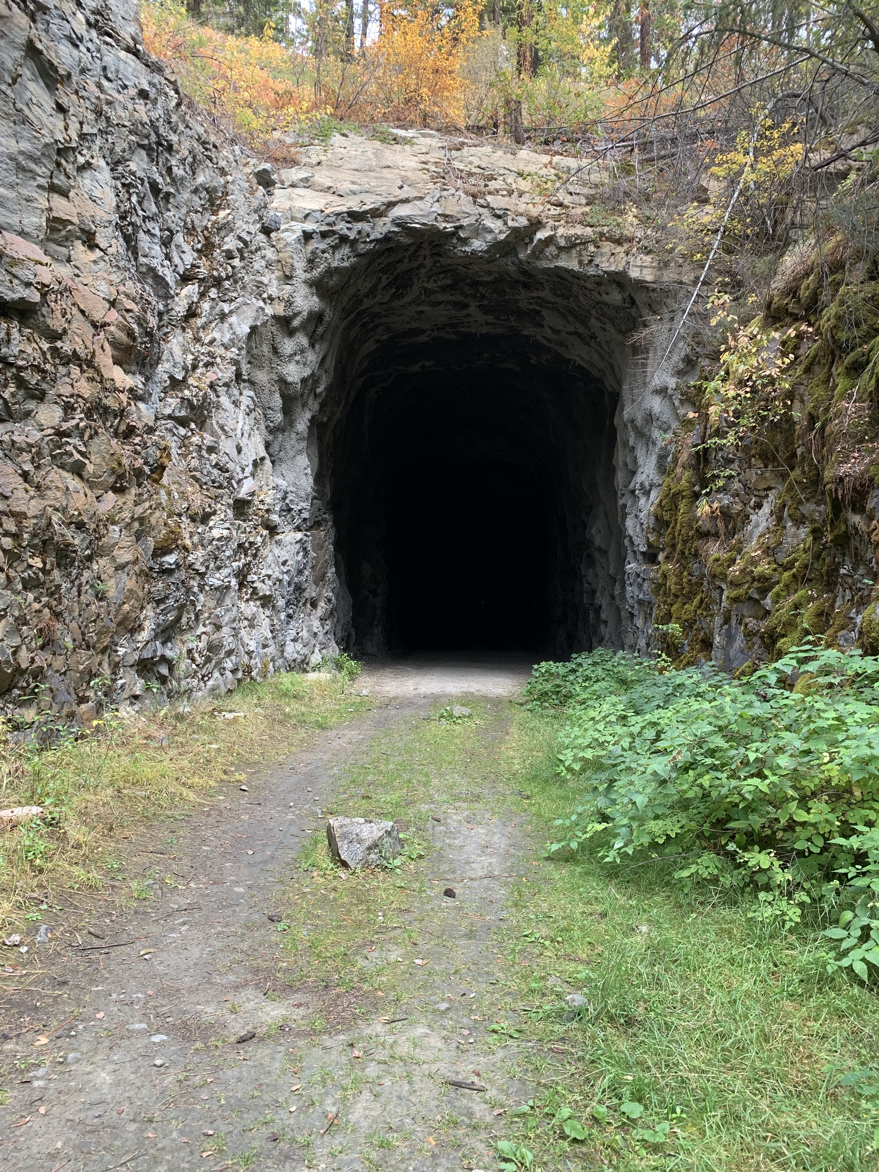
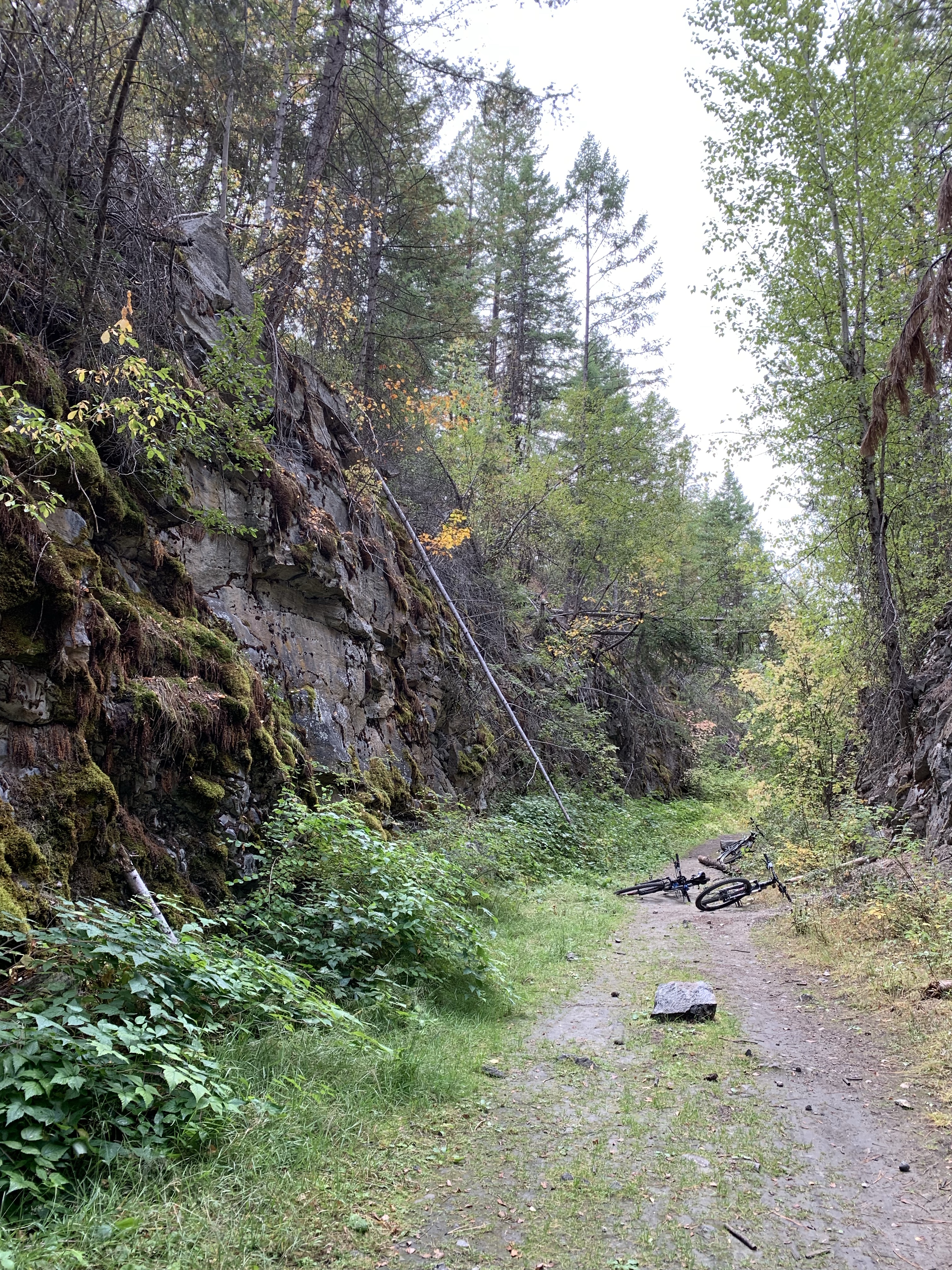
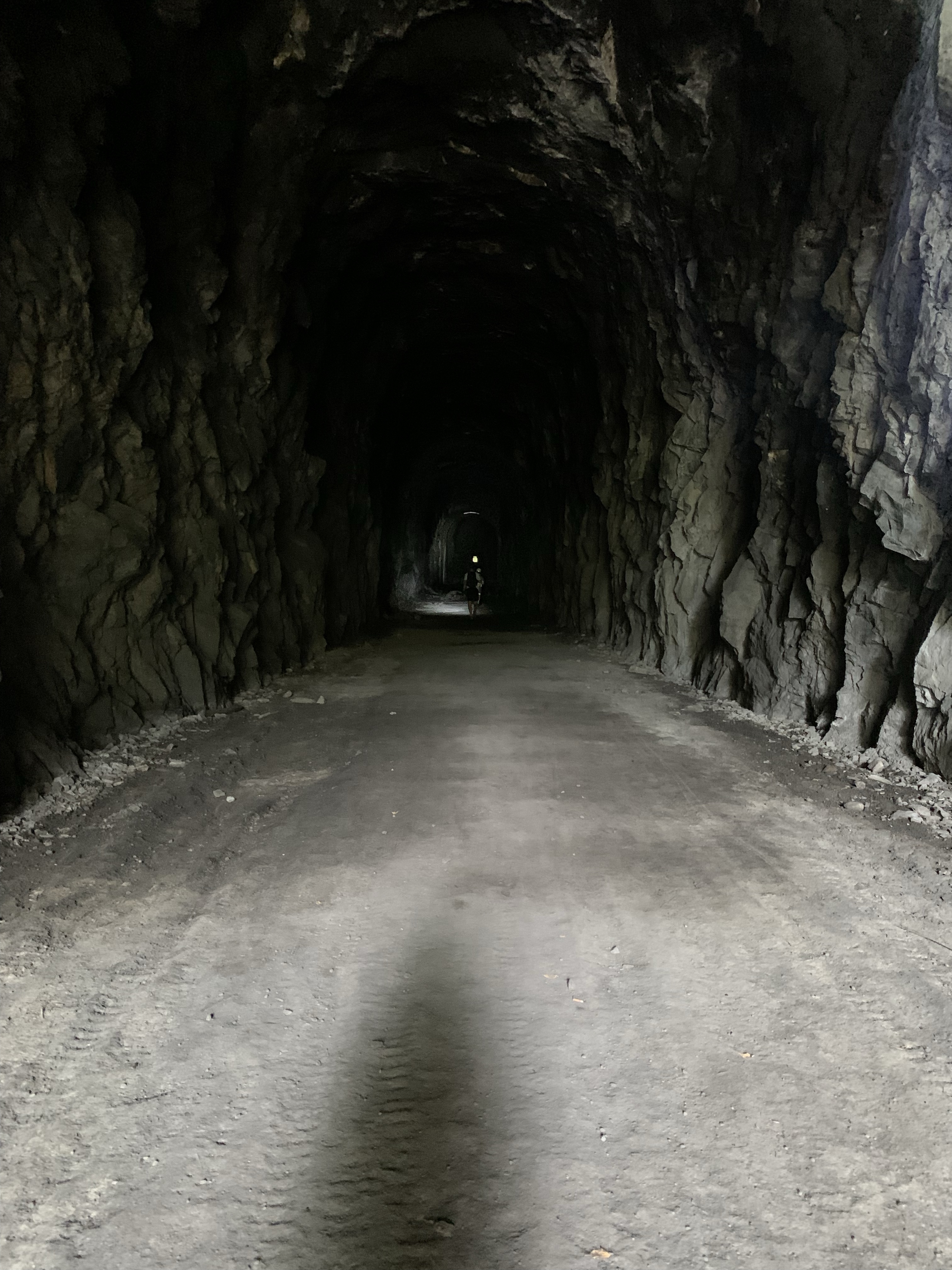
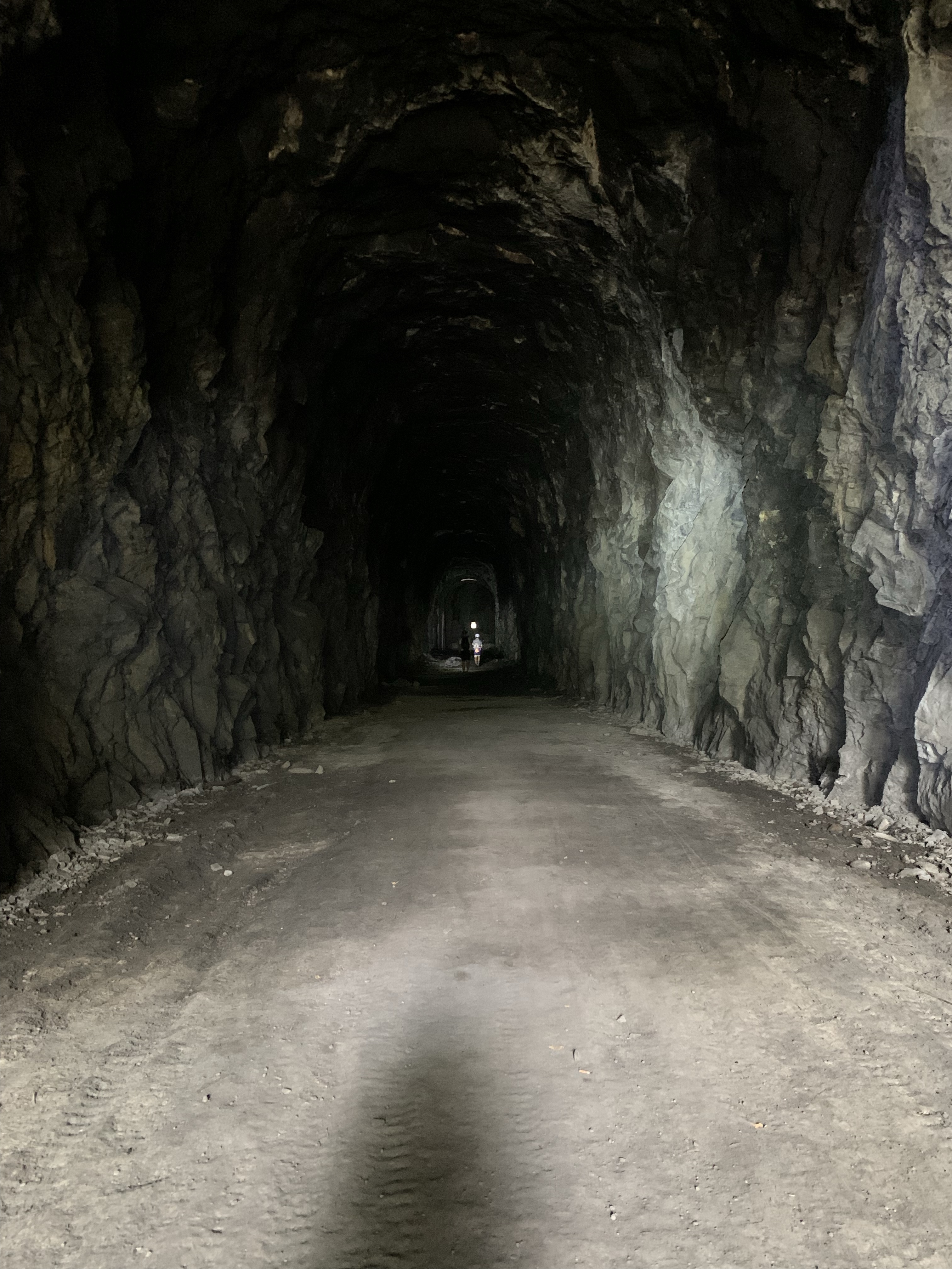
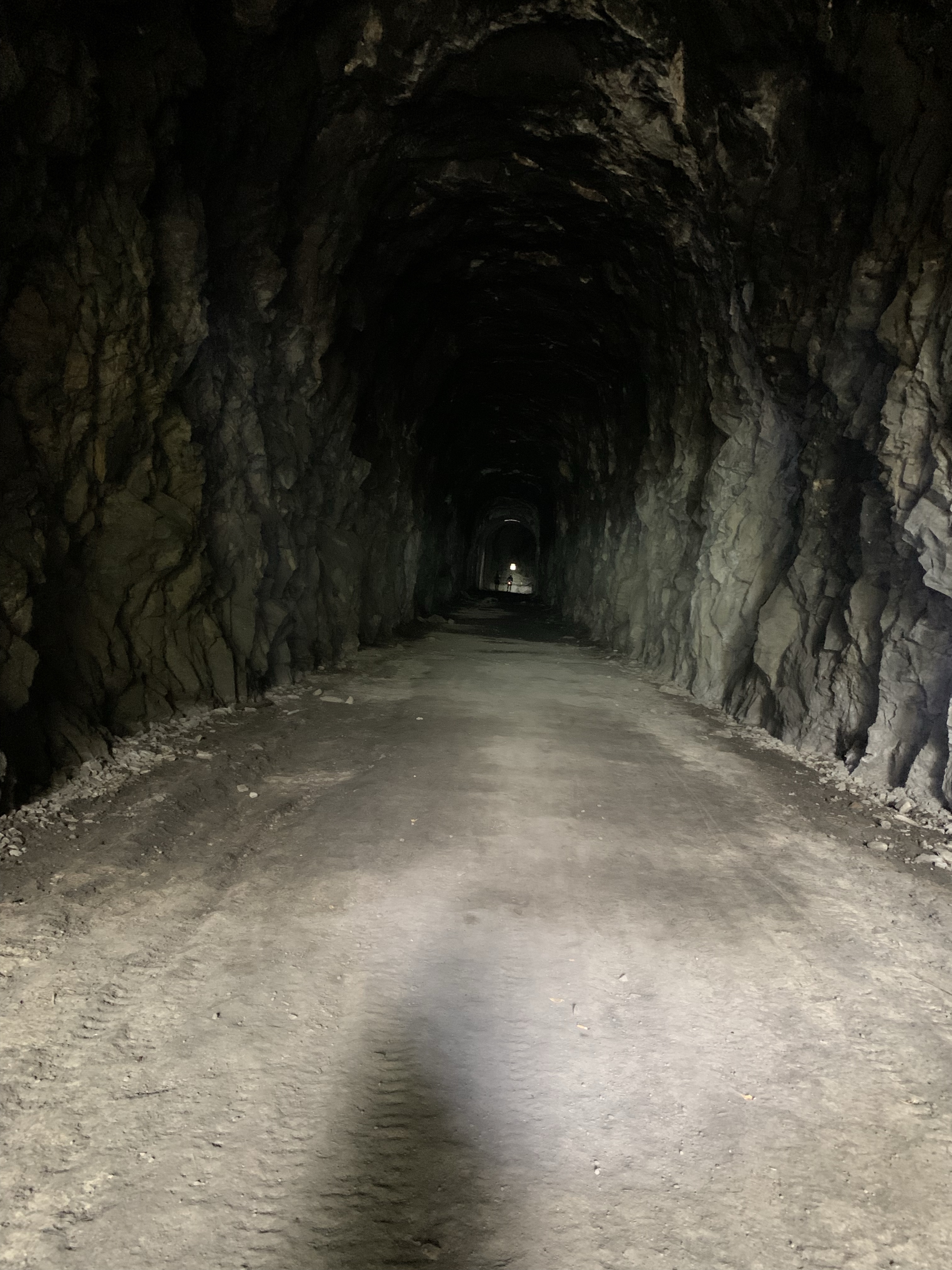
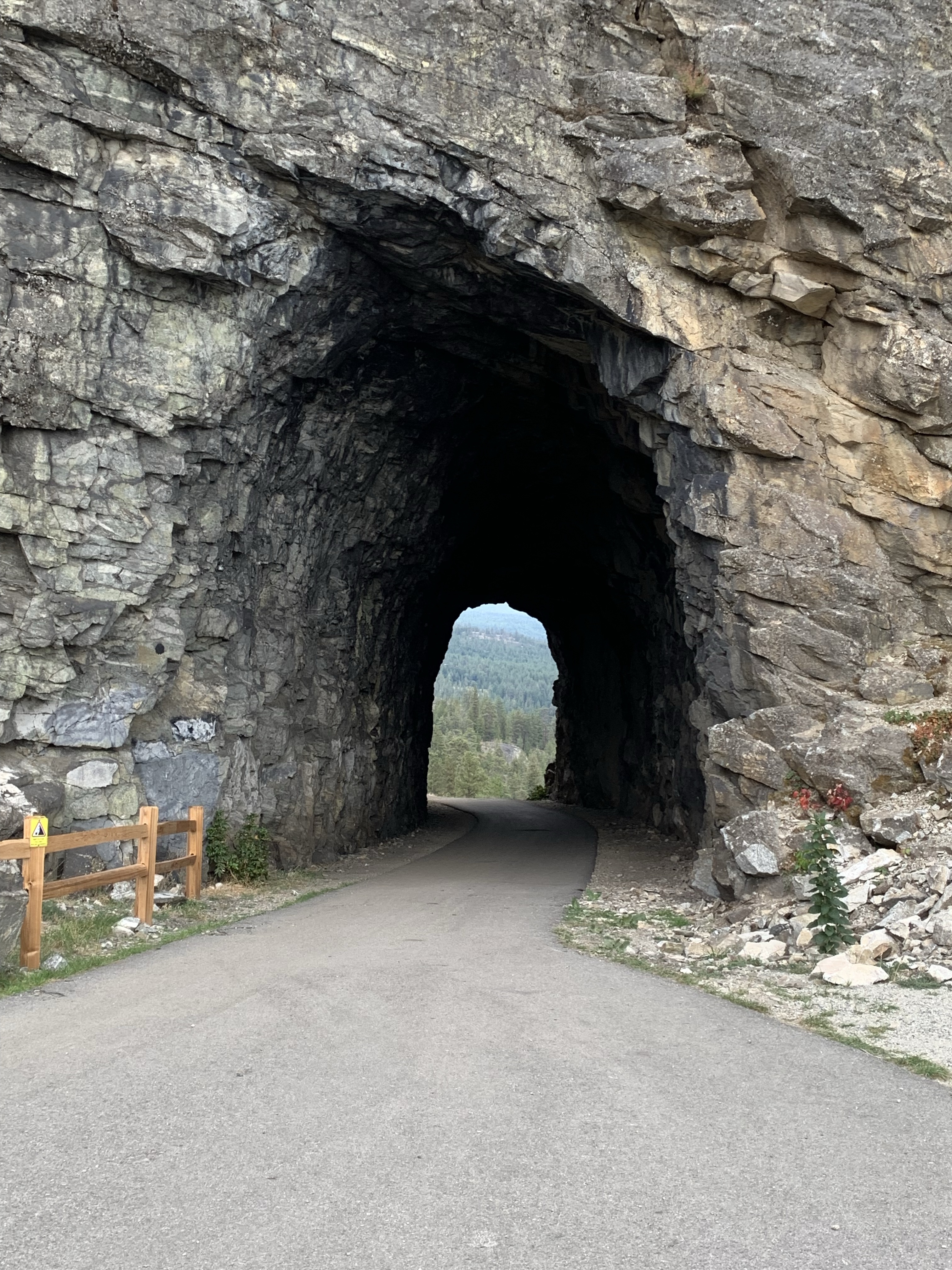
*Tunnel 2 (M85.7; km137.9) 375 feet long. 
Tunnel 2 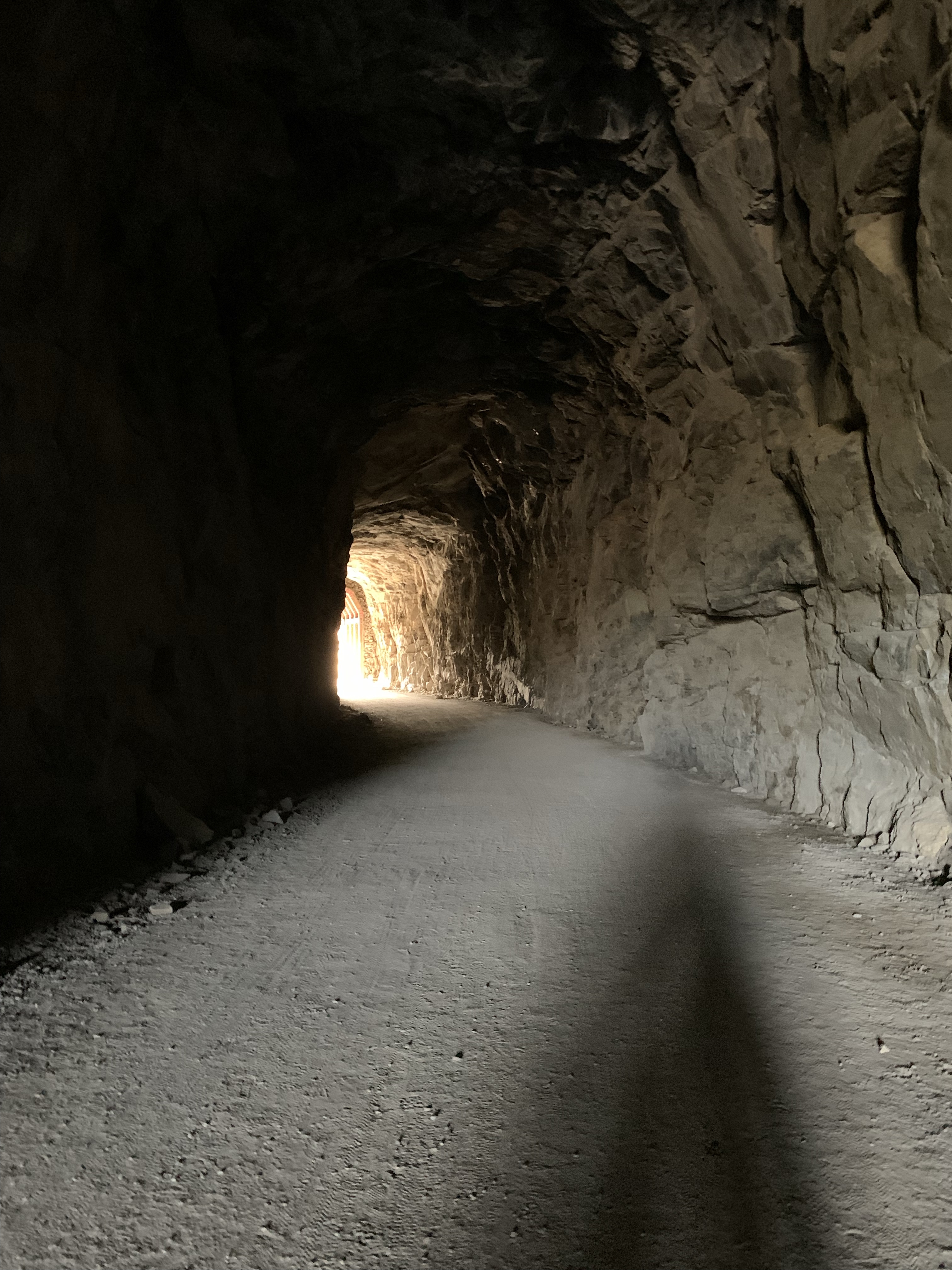
Inside Tunnel 2 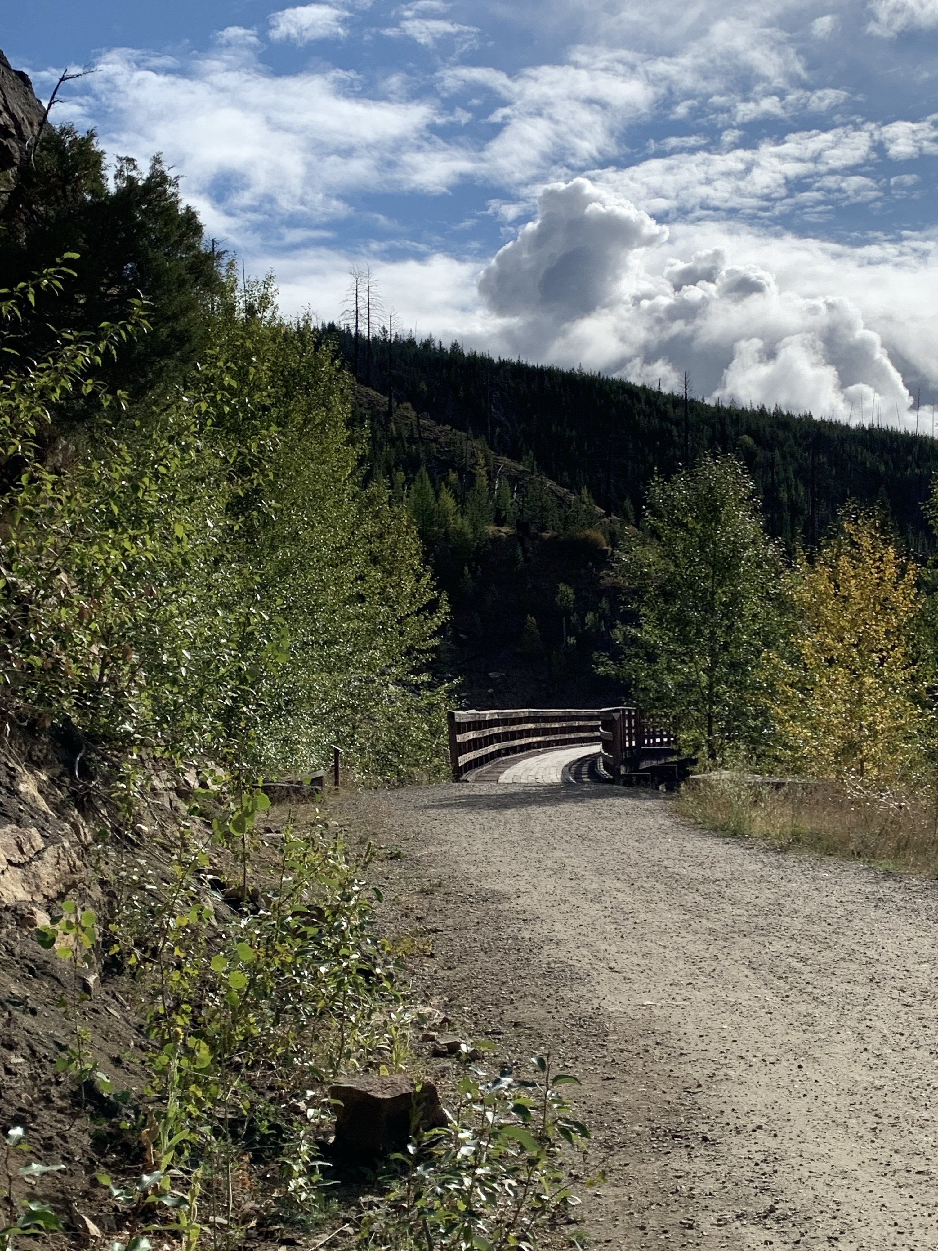
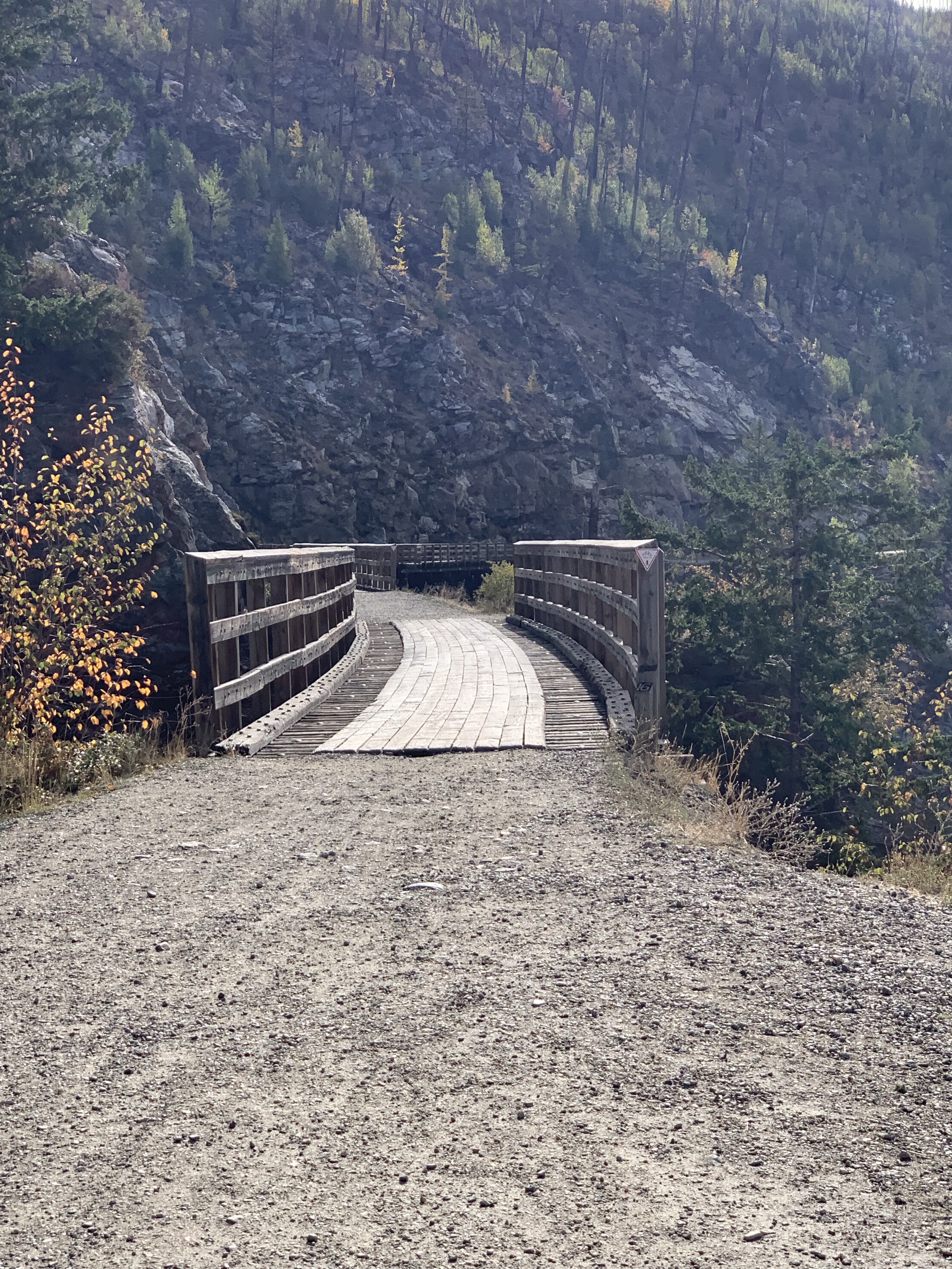
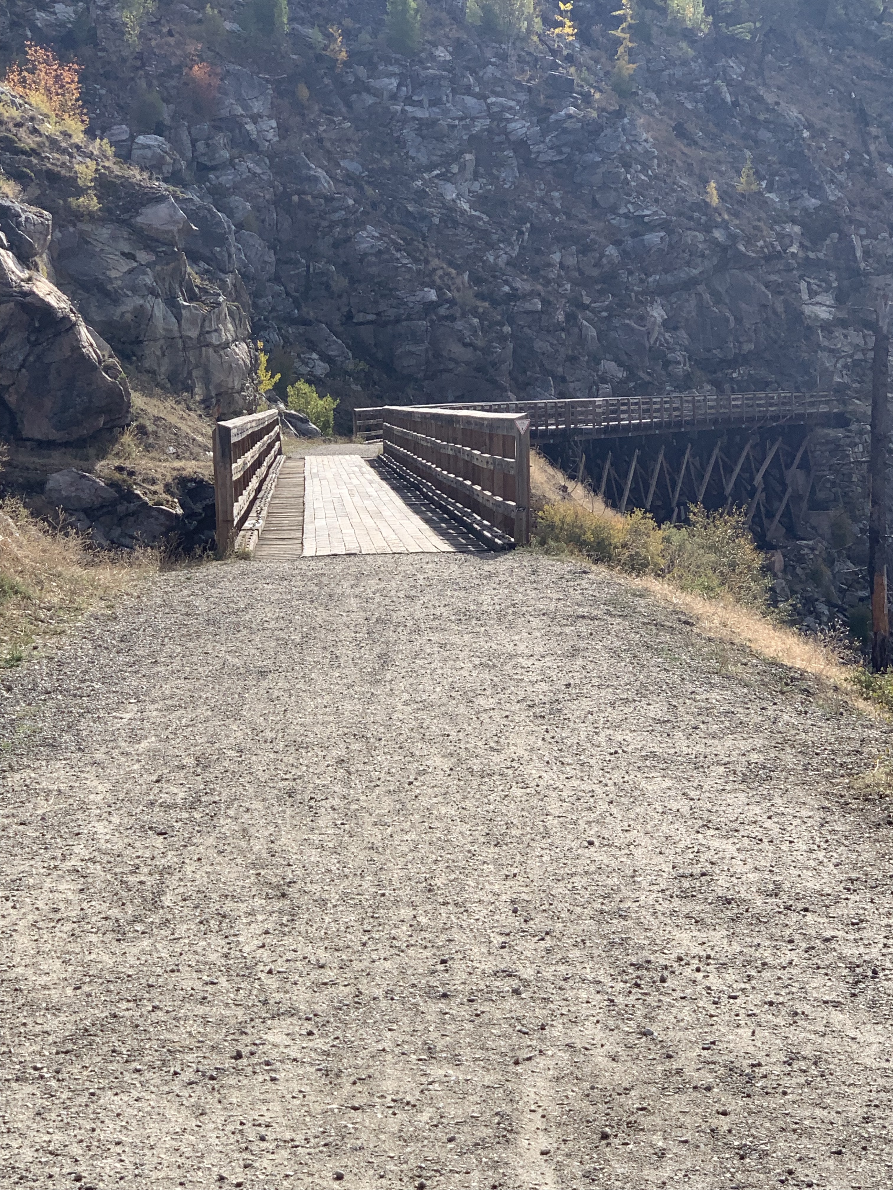
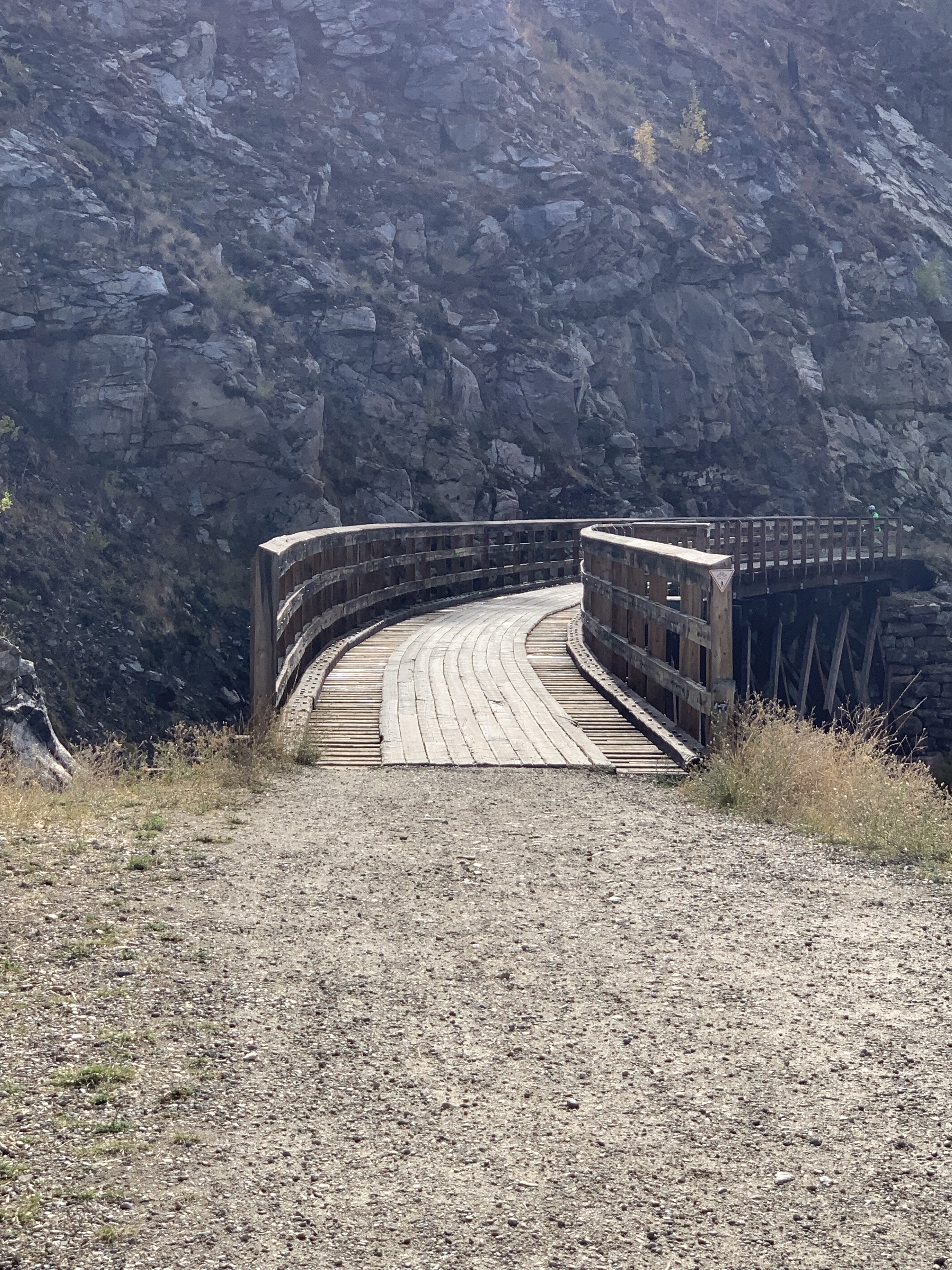
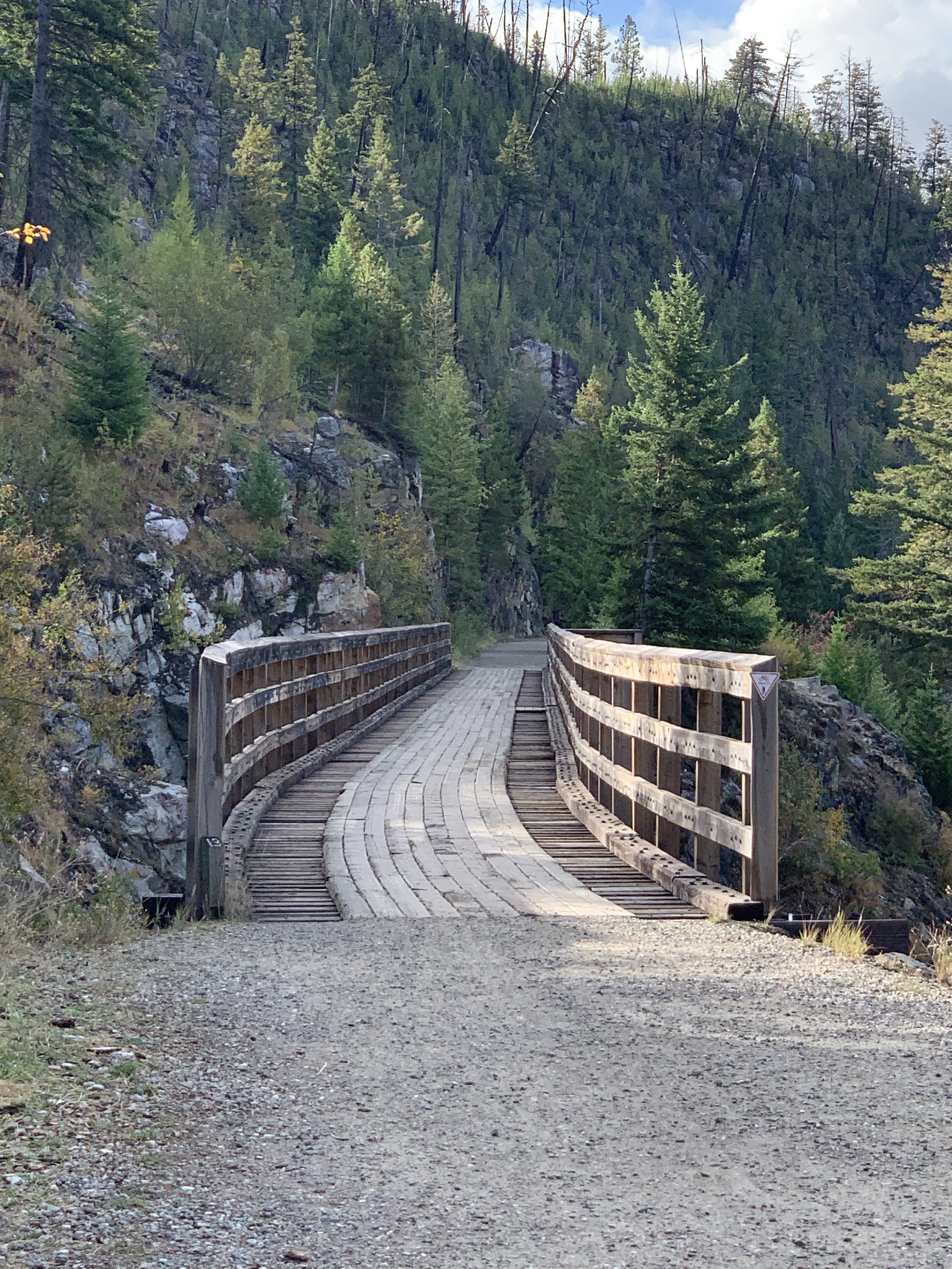
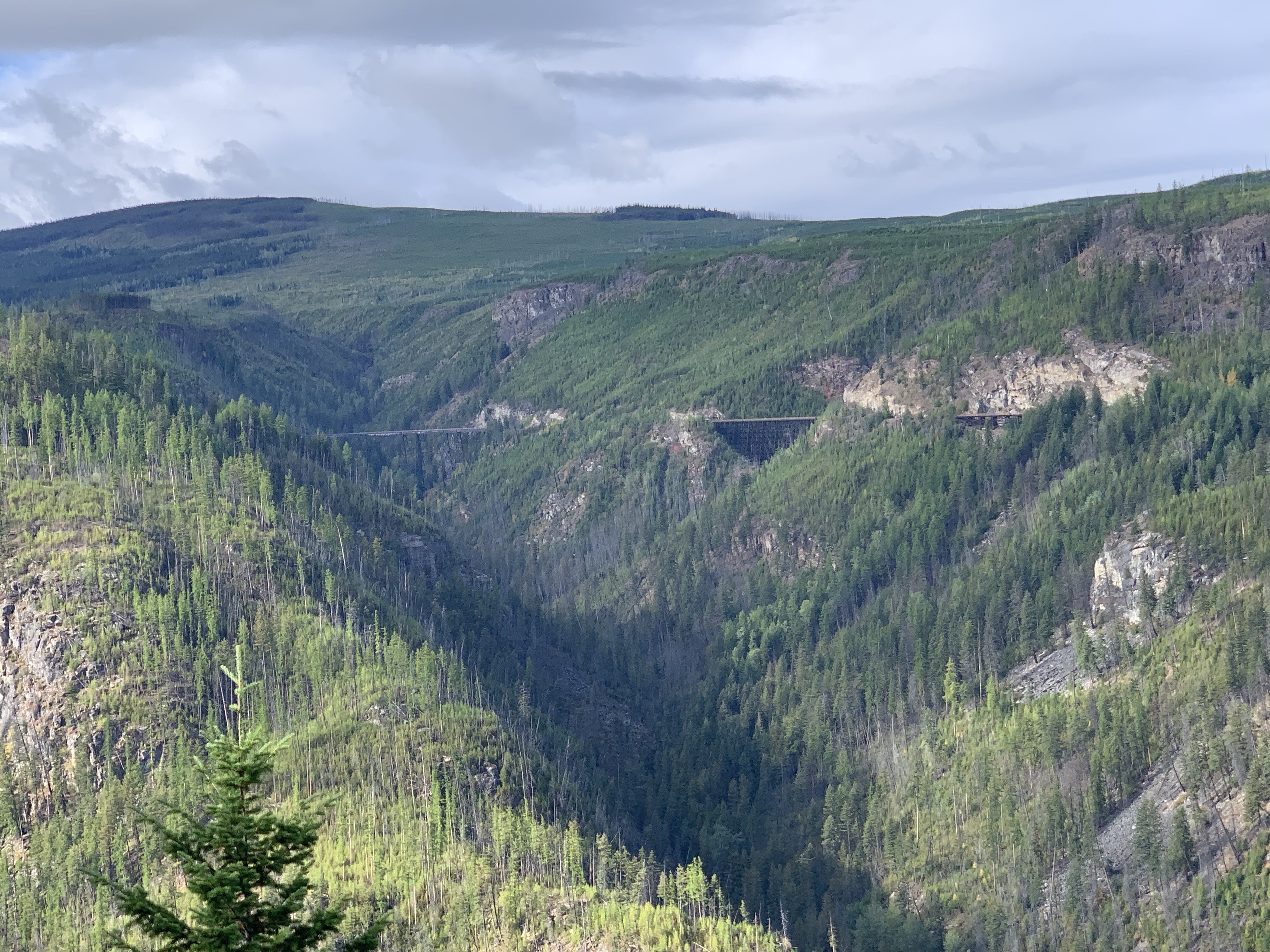
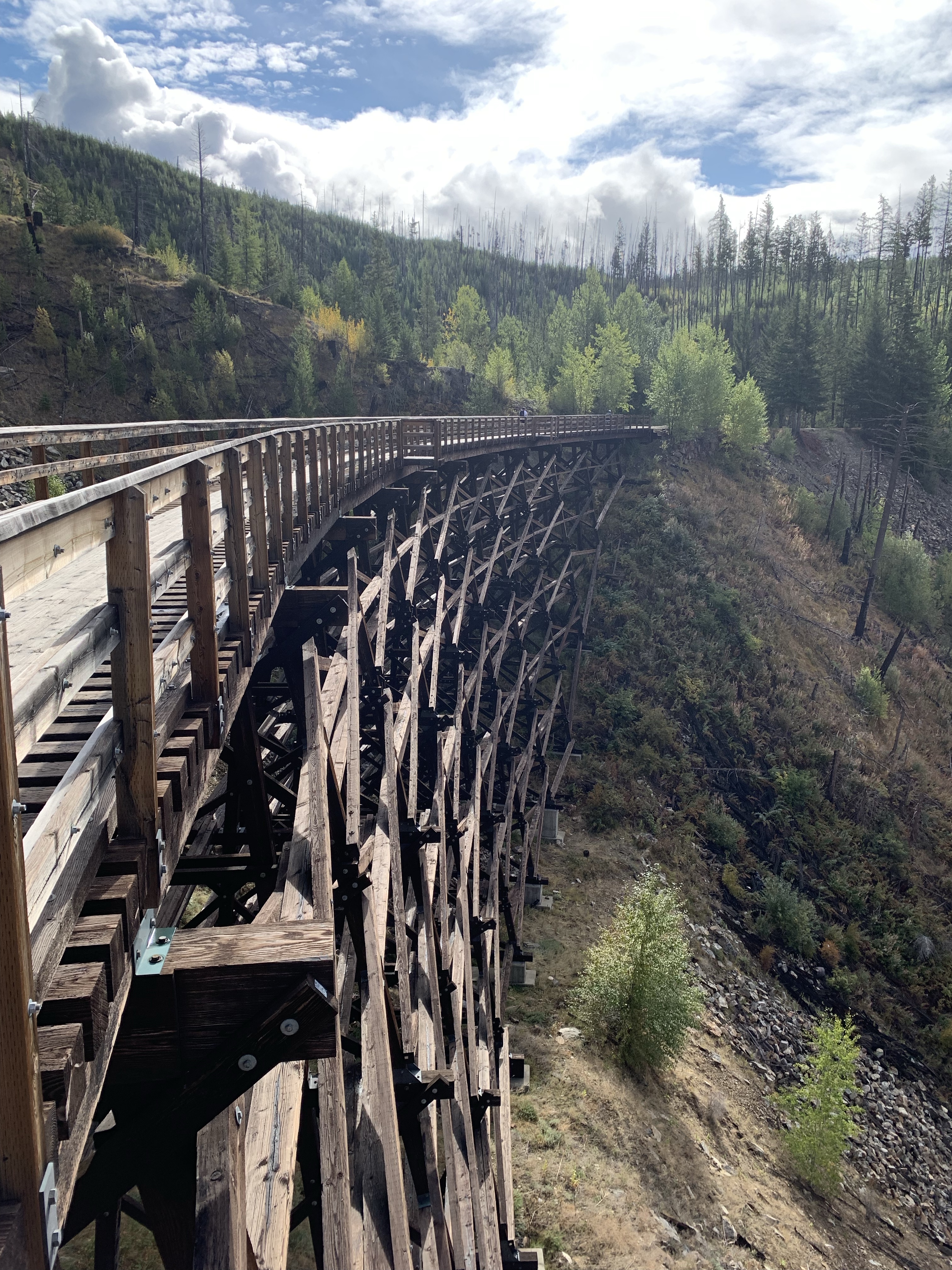
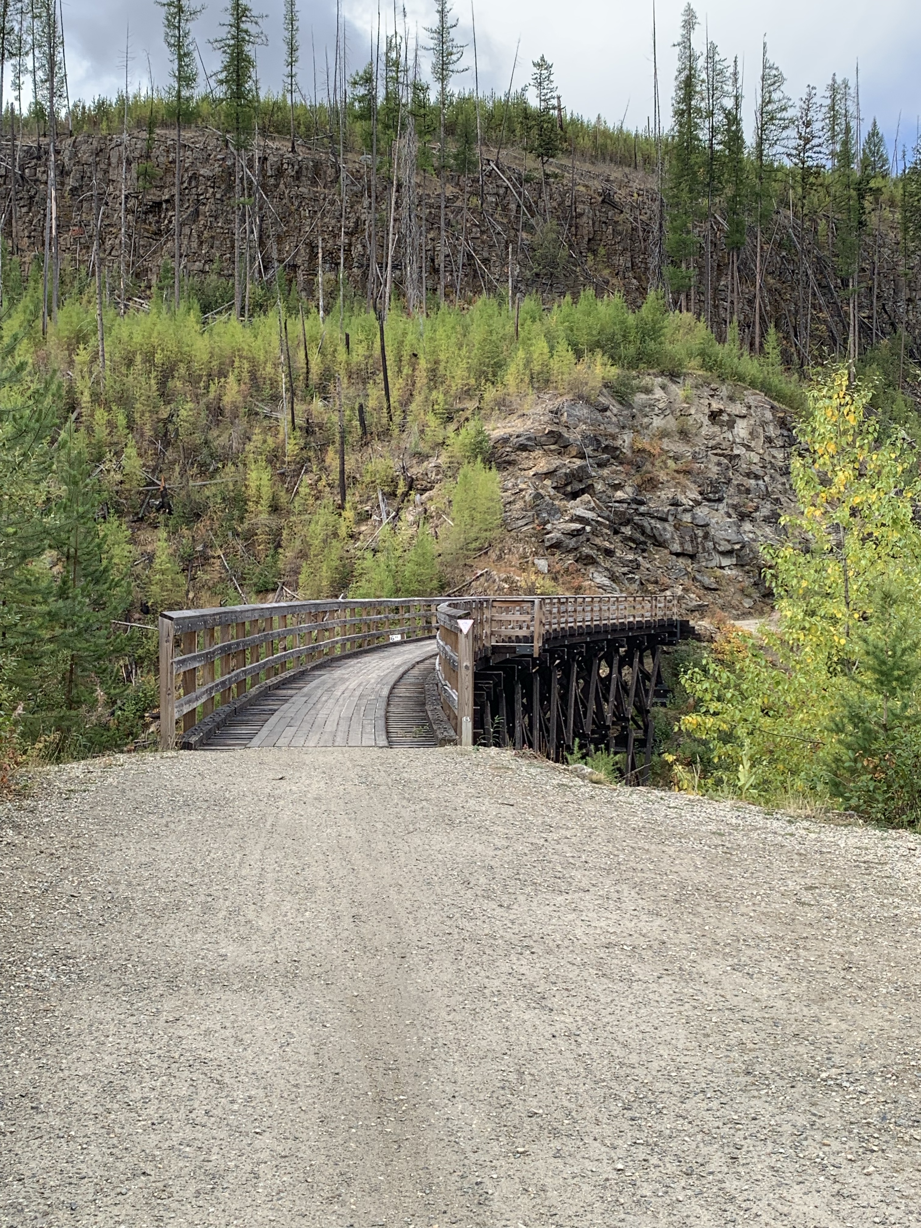
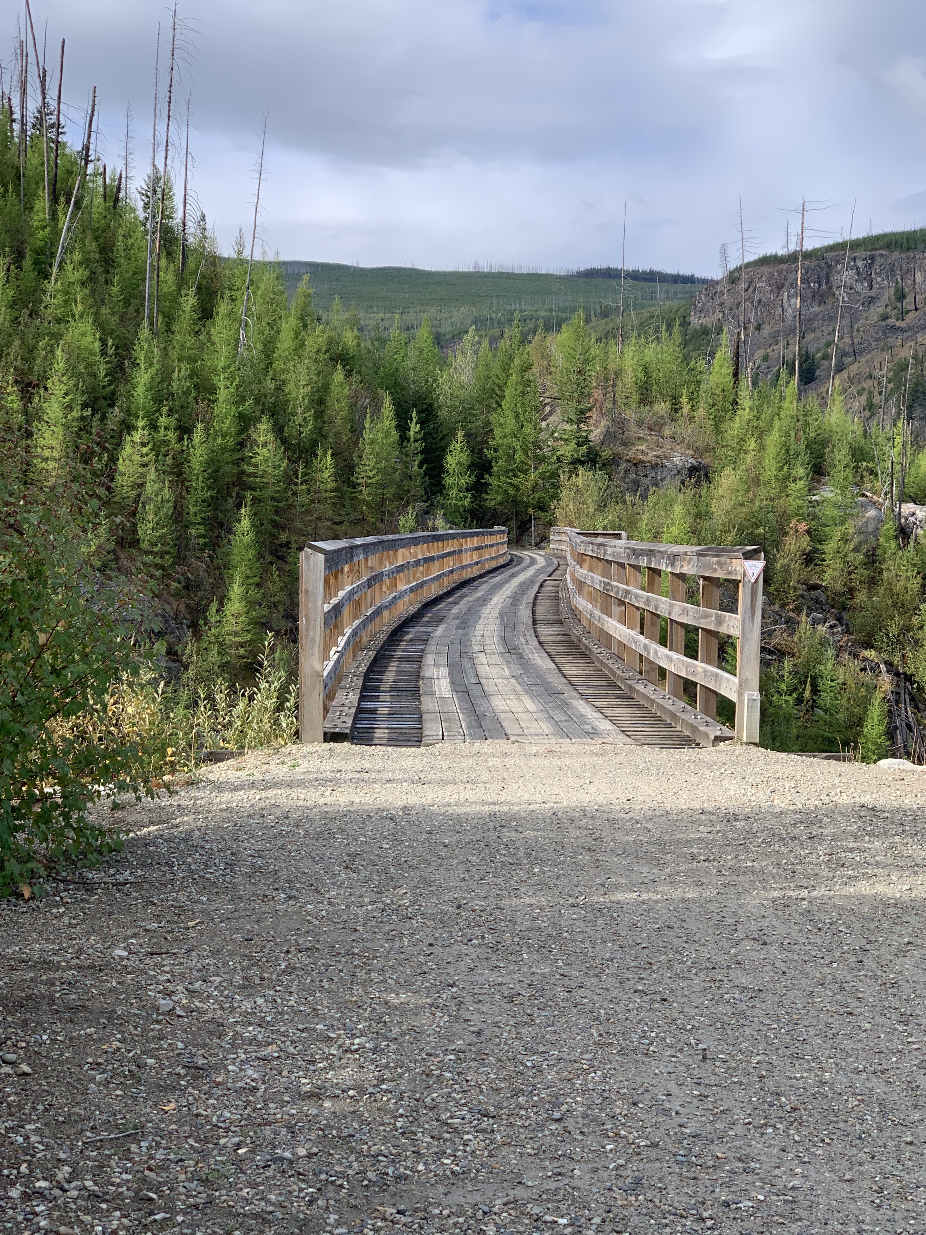
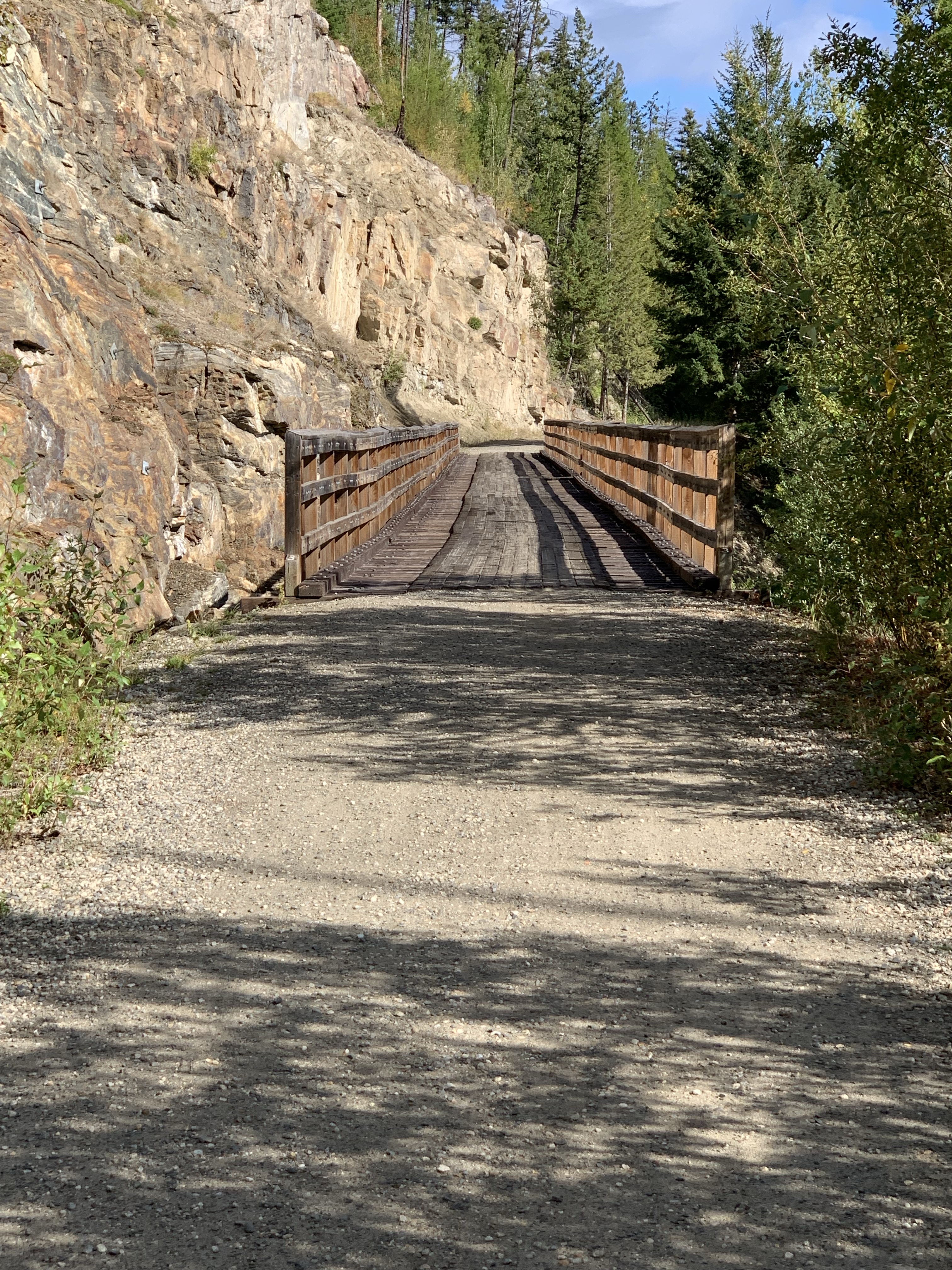
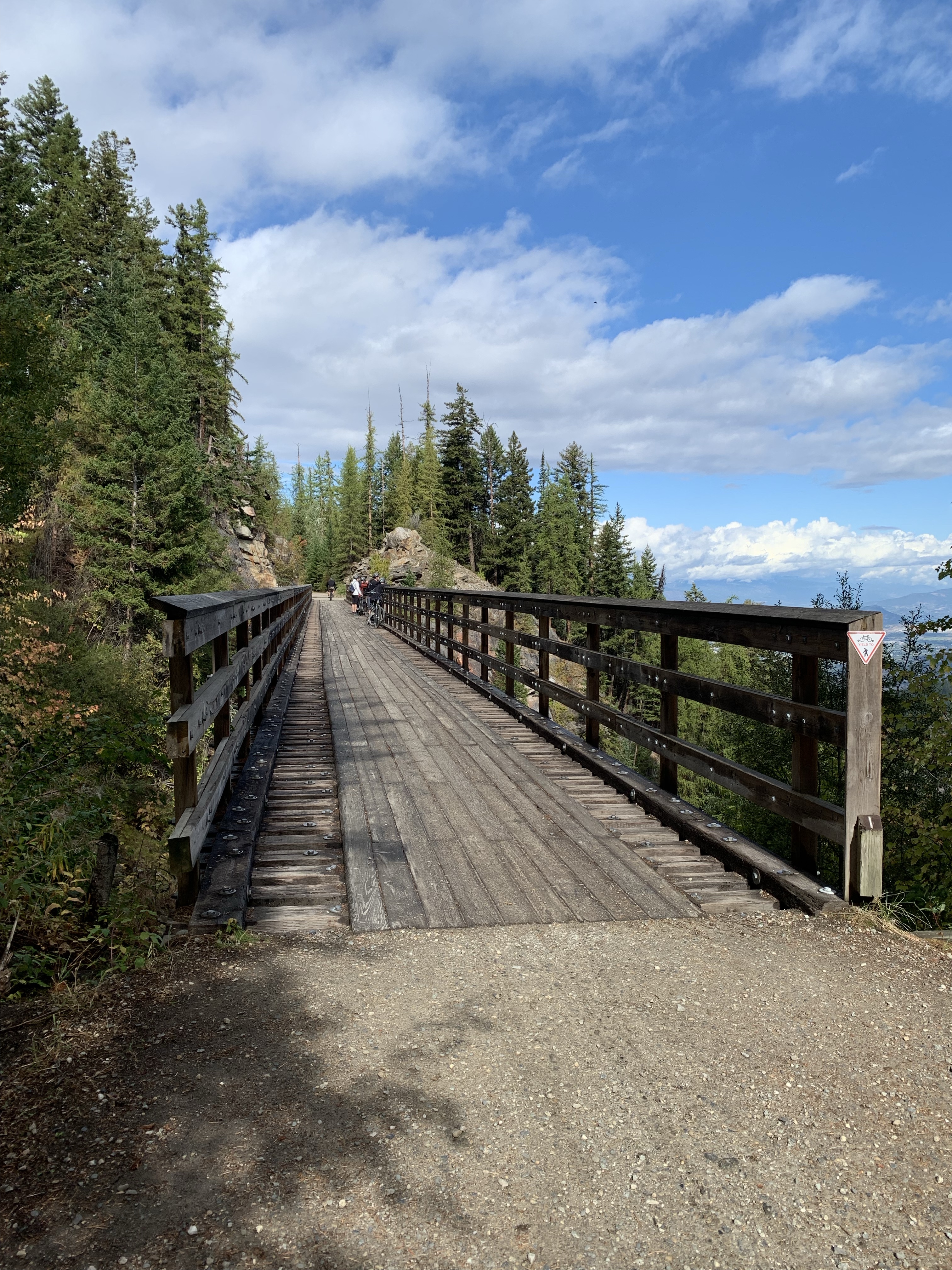
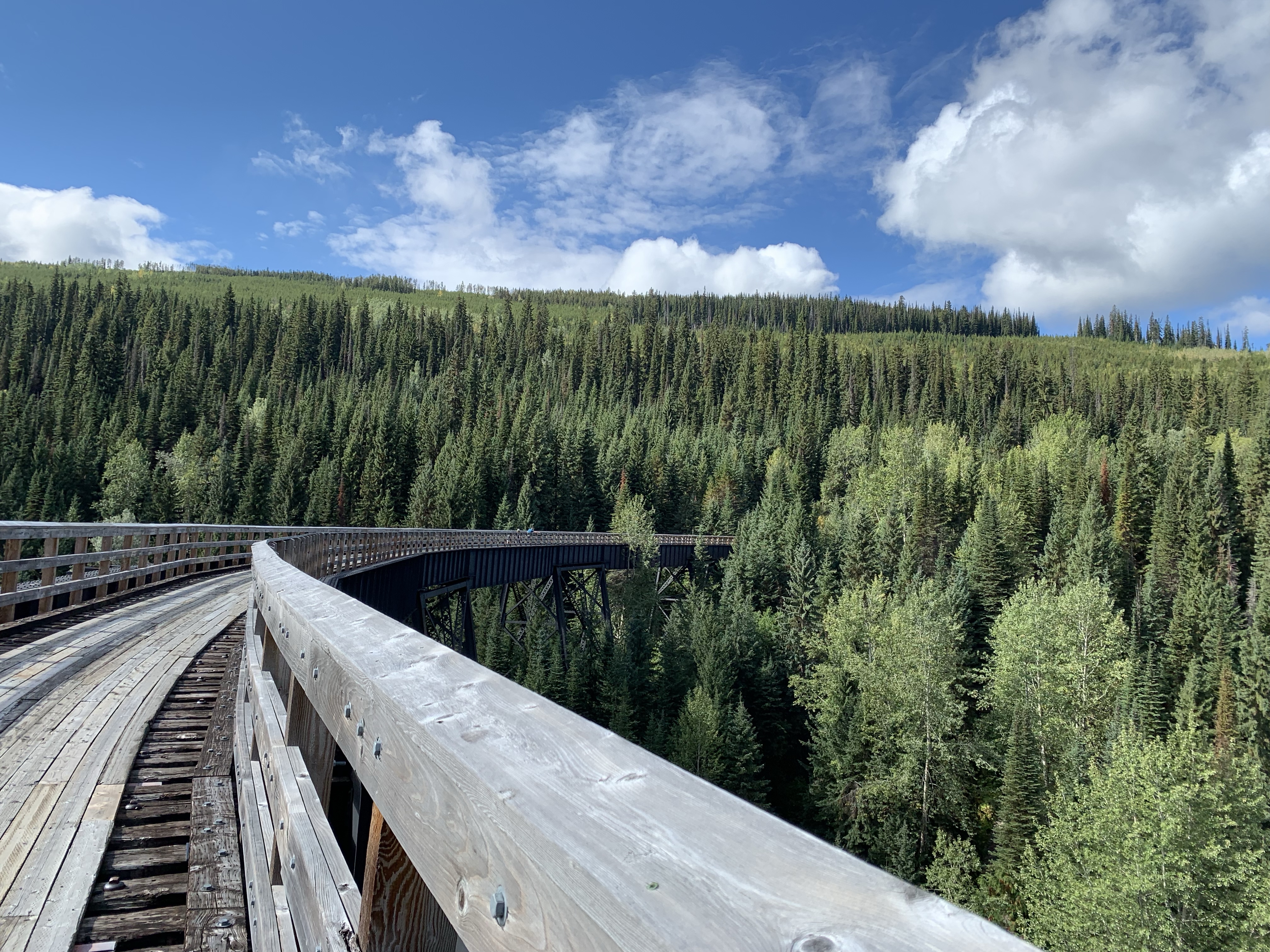
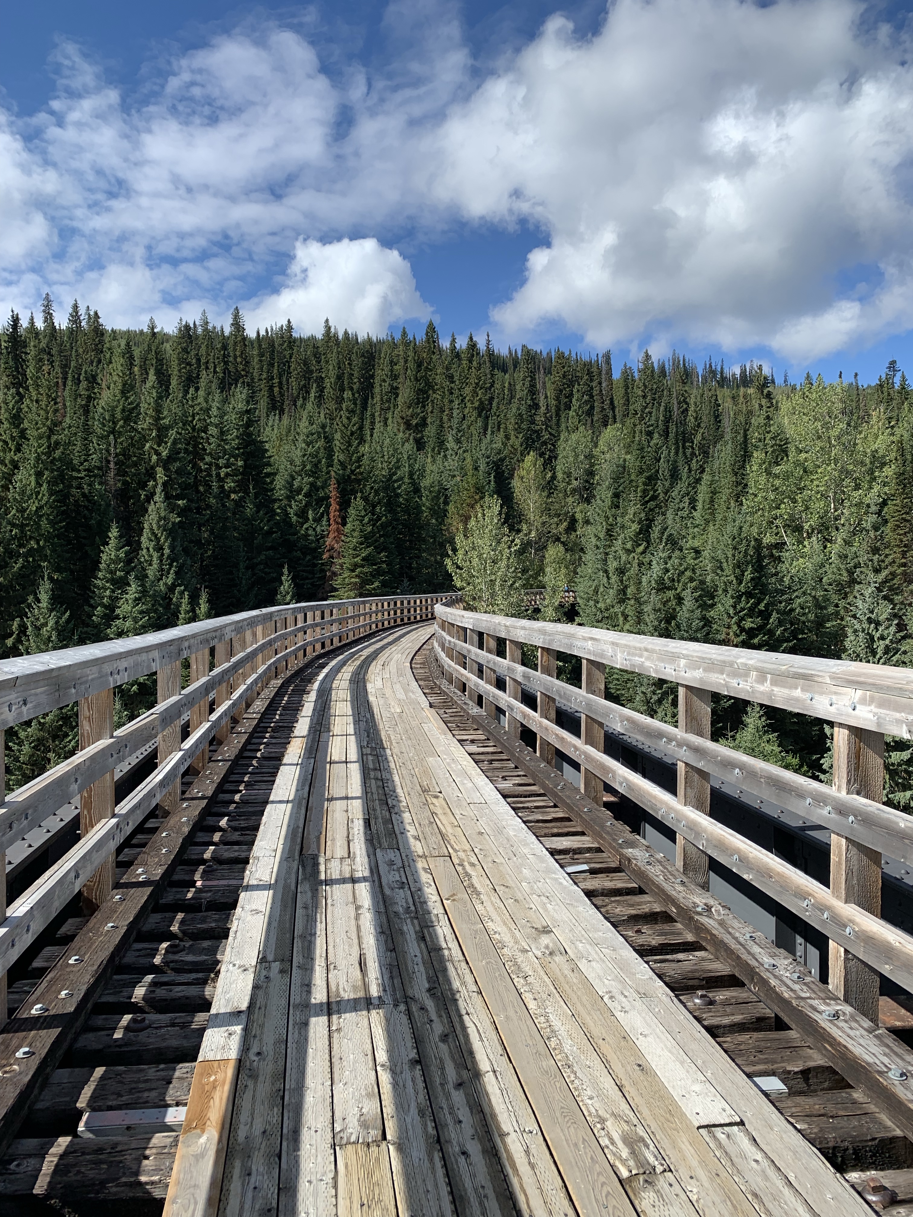
*Trestle 11 (M85.9; km138.2) 434 feet long, frame trestle. At 4178 feet (1273m) elevation, this crossing is the highest point on the Carmi Subdivision. 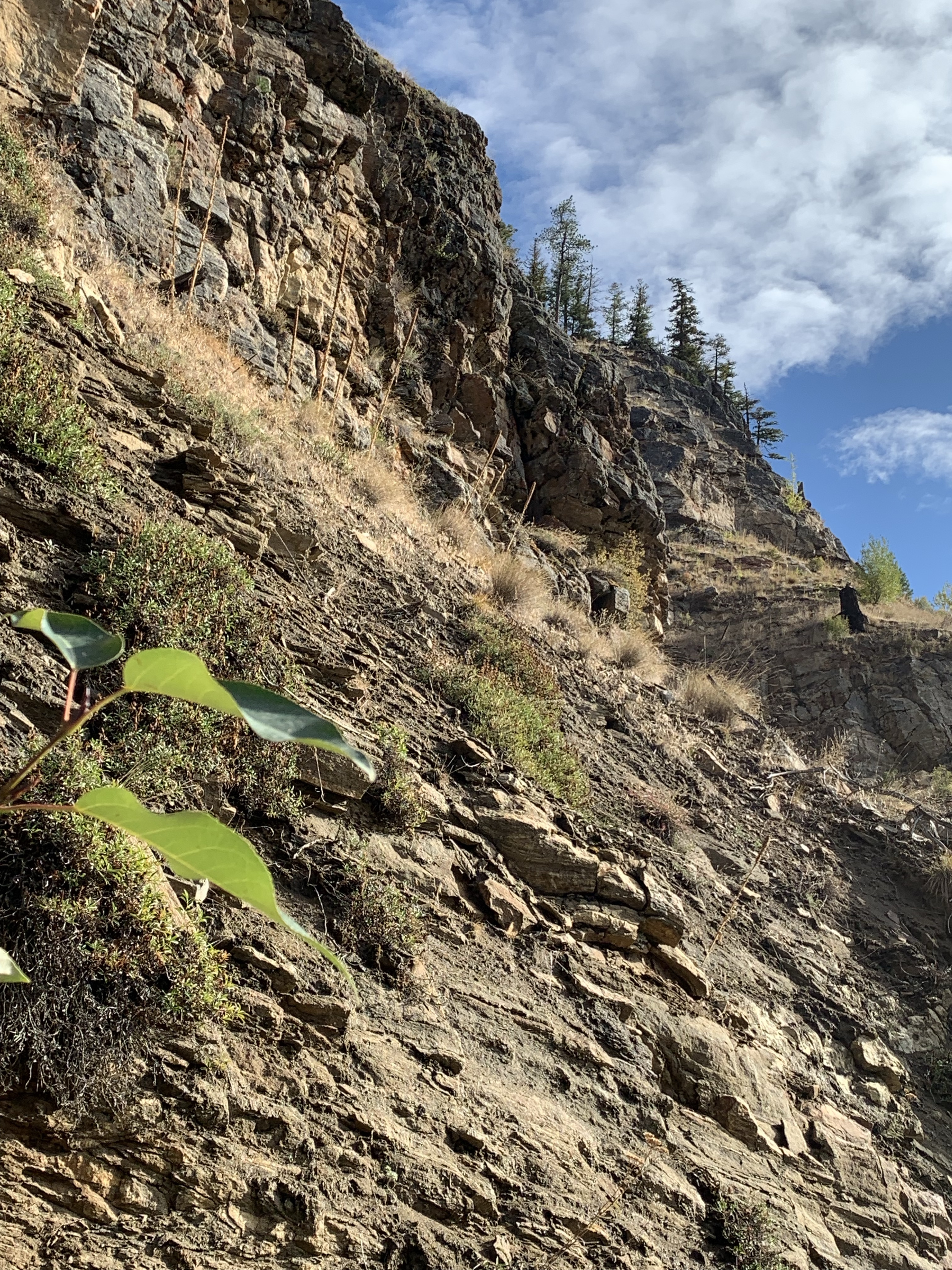
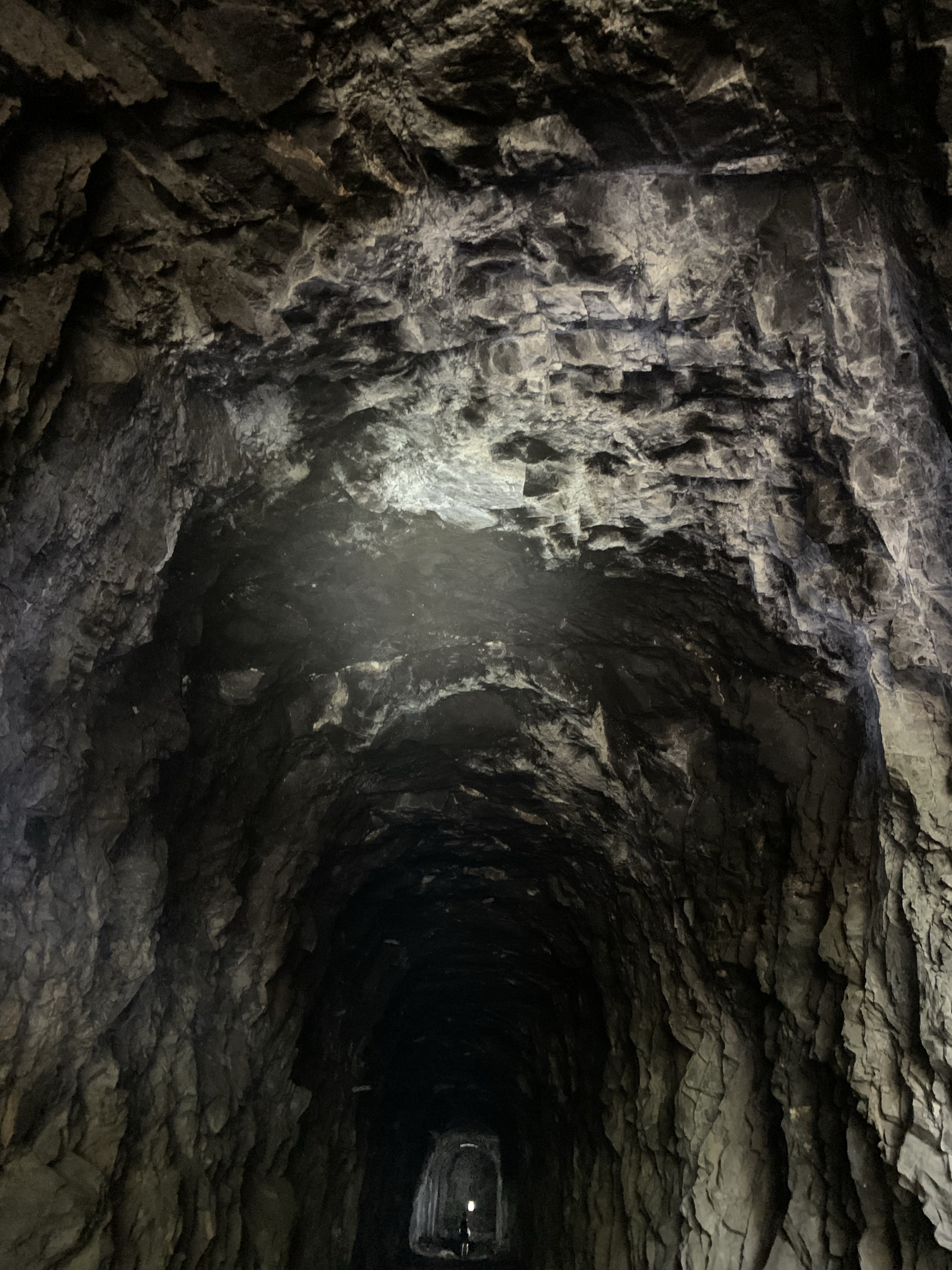
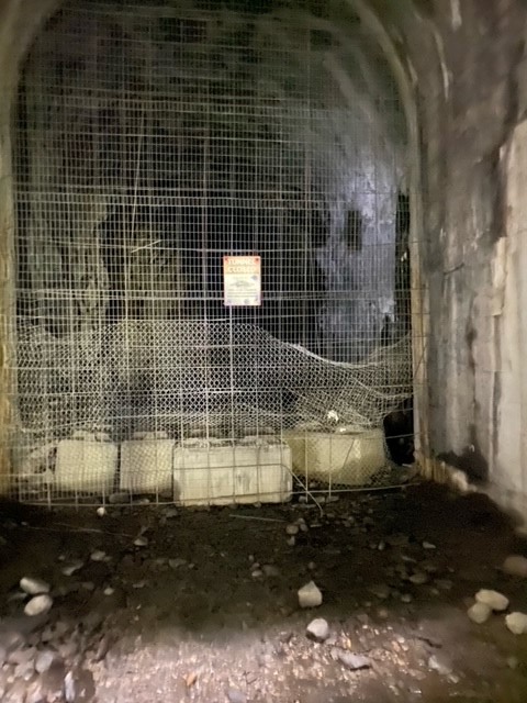
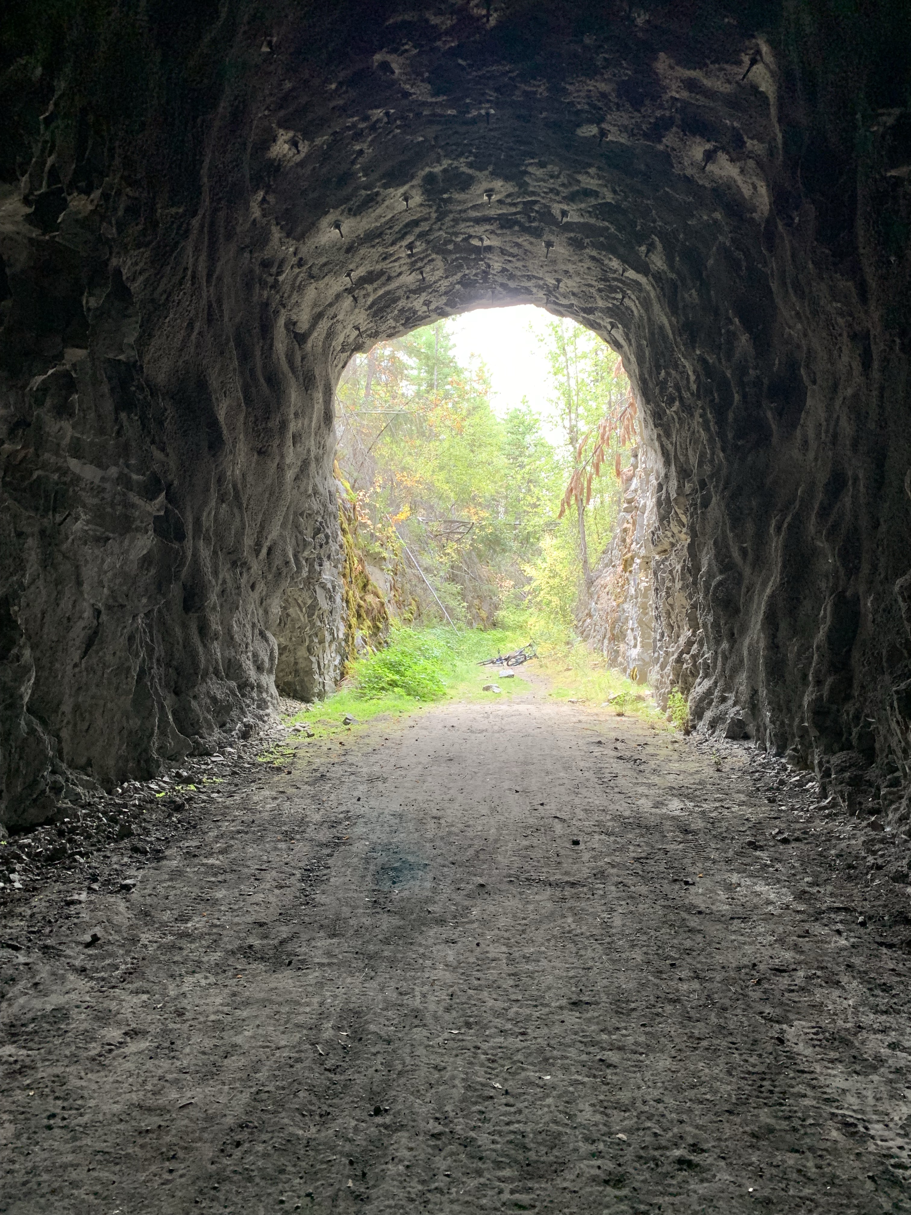
*Tunnel 1 (M86.2; km138.7) 277 feet long. 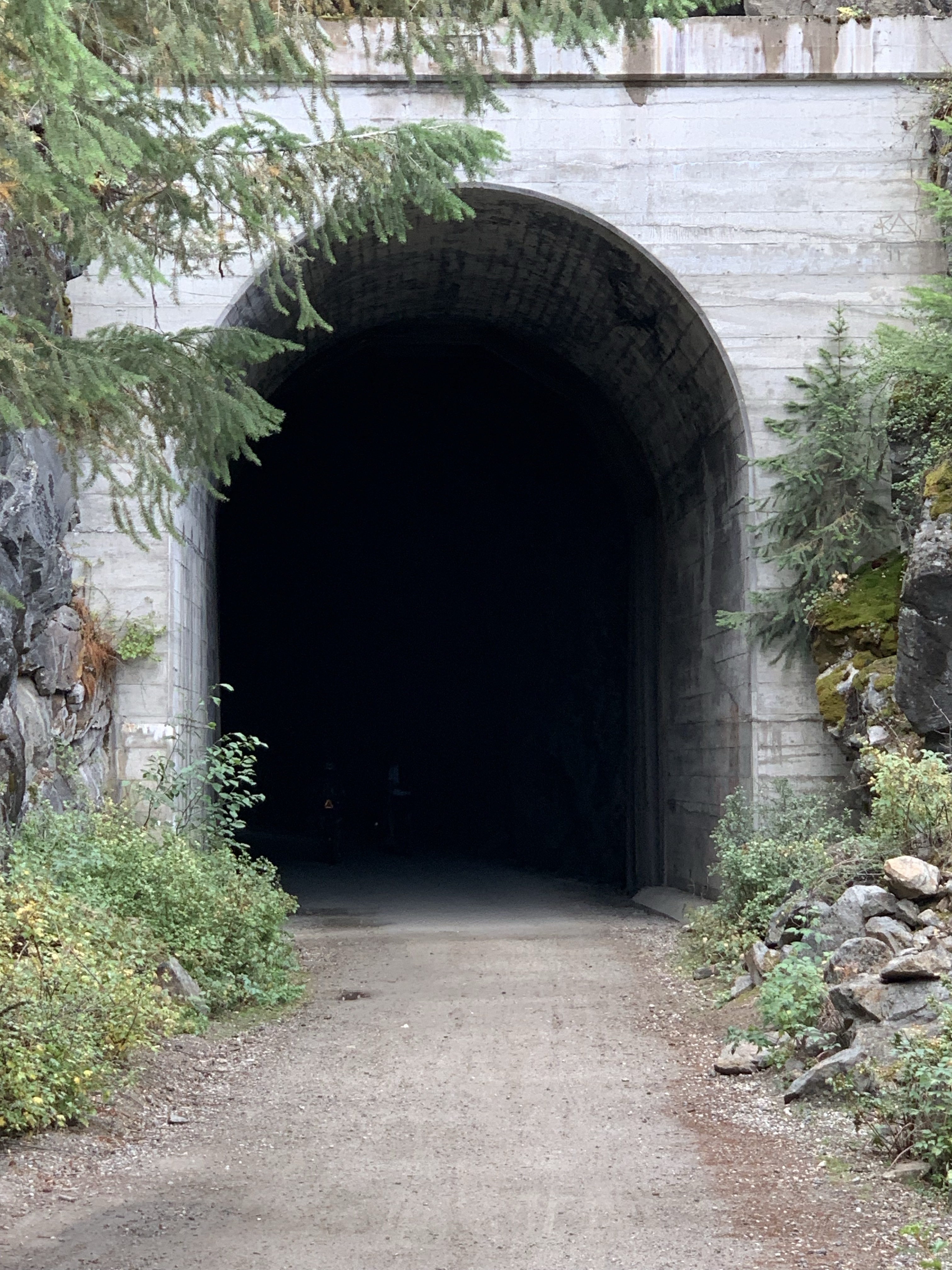
Tunnel 1 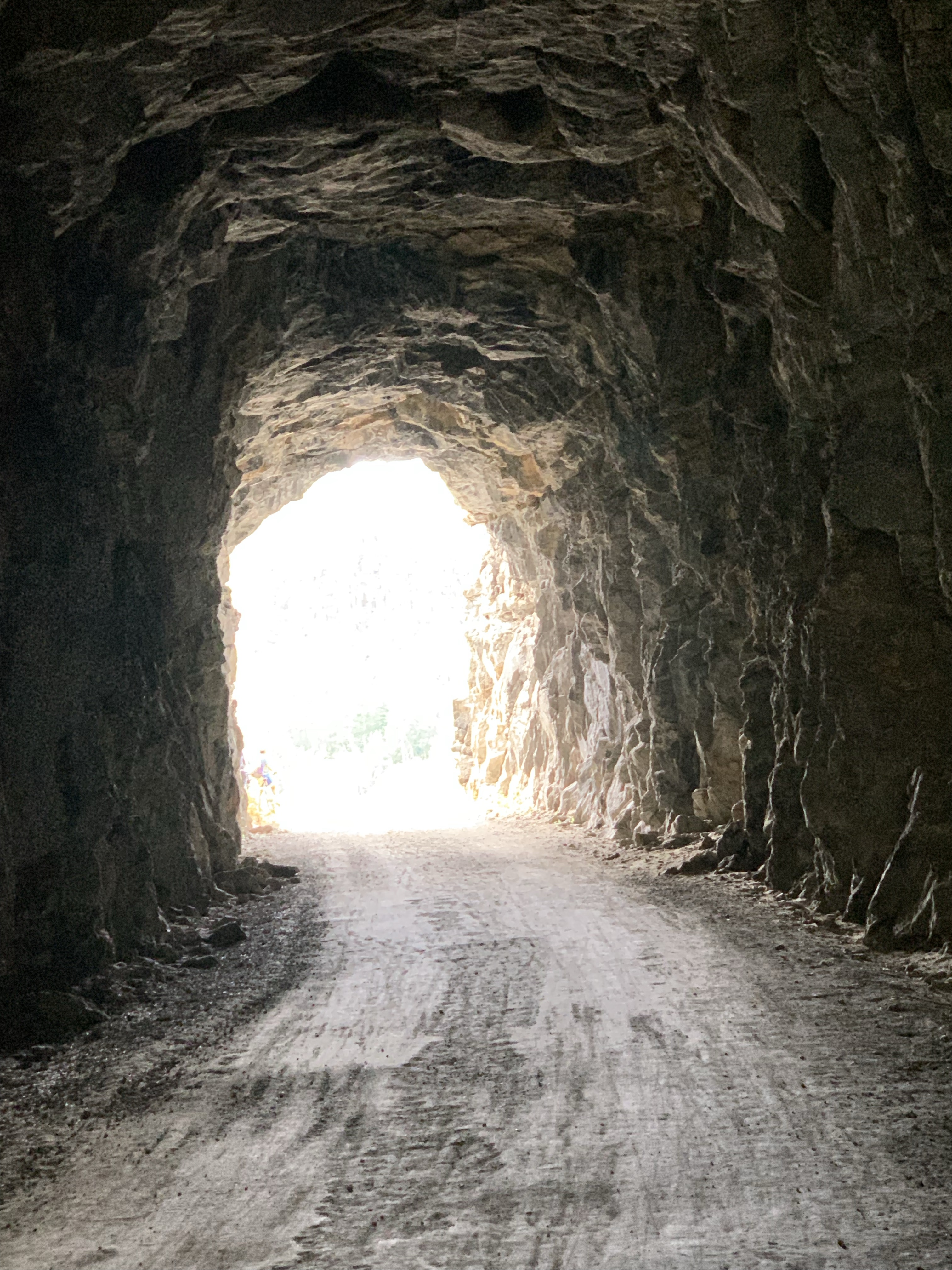
Tunnel 1 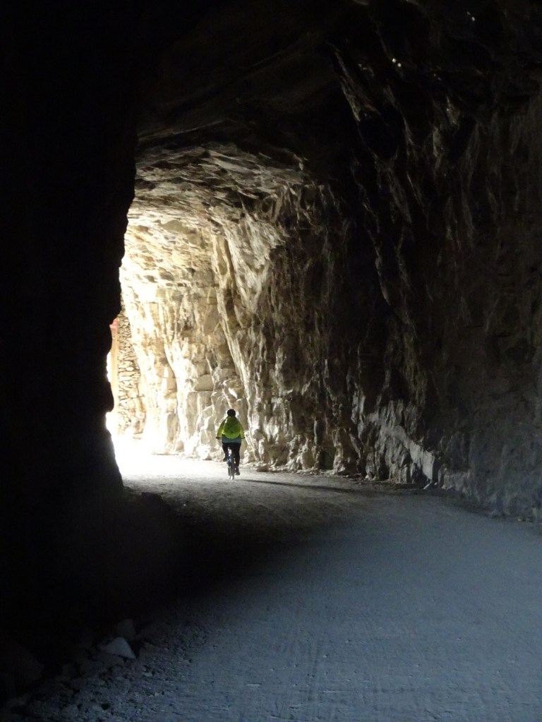
Inside Tunnel 1 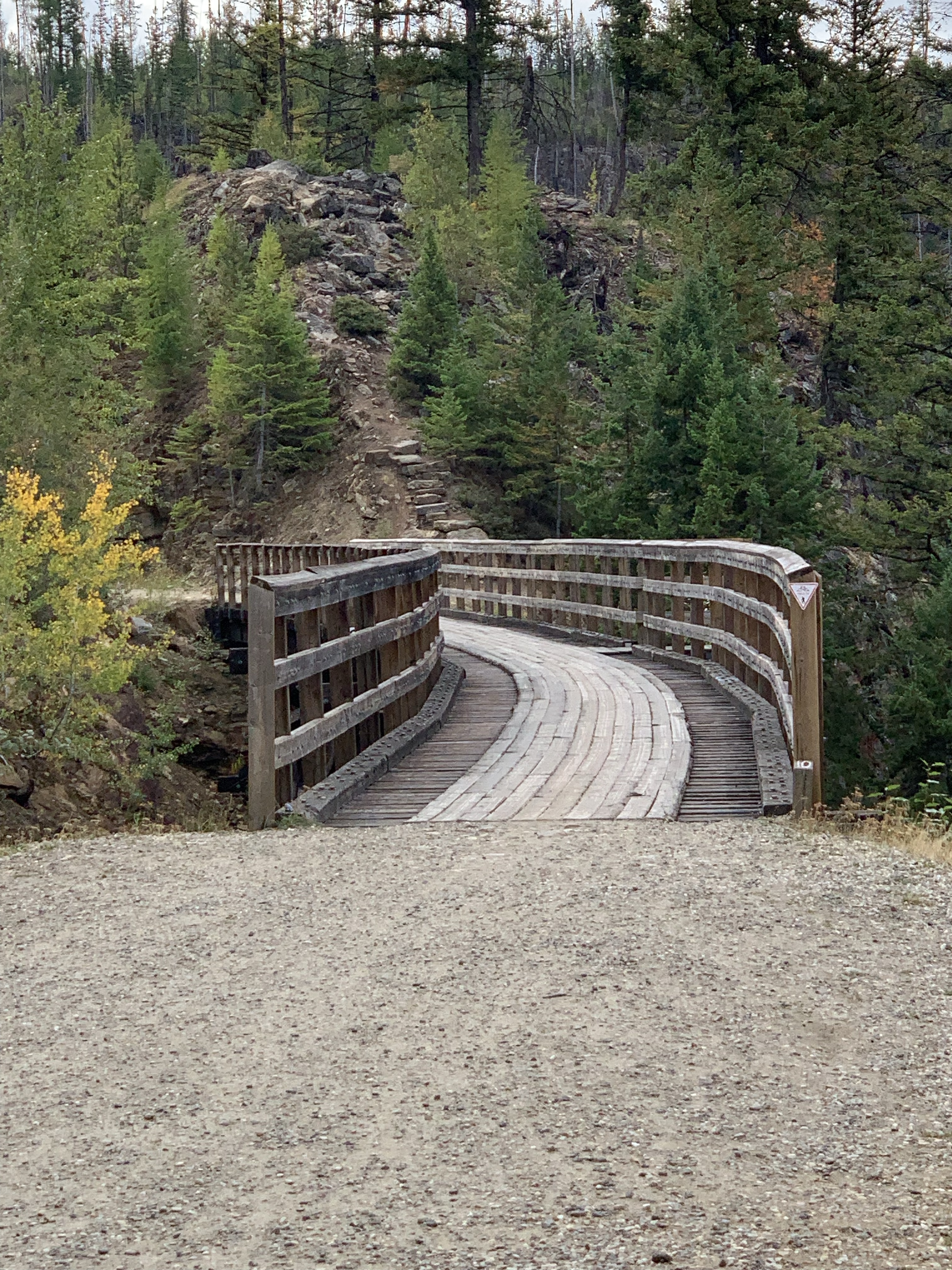
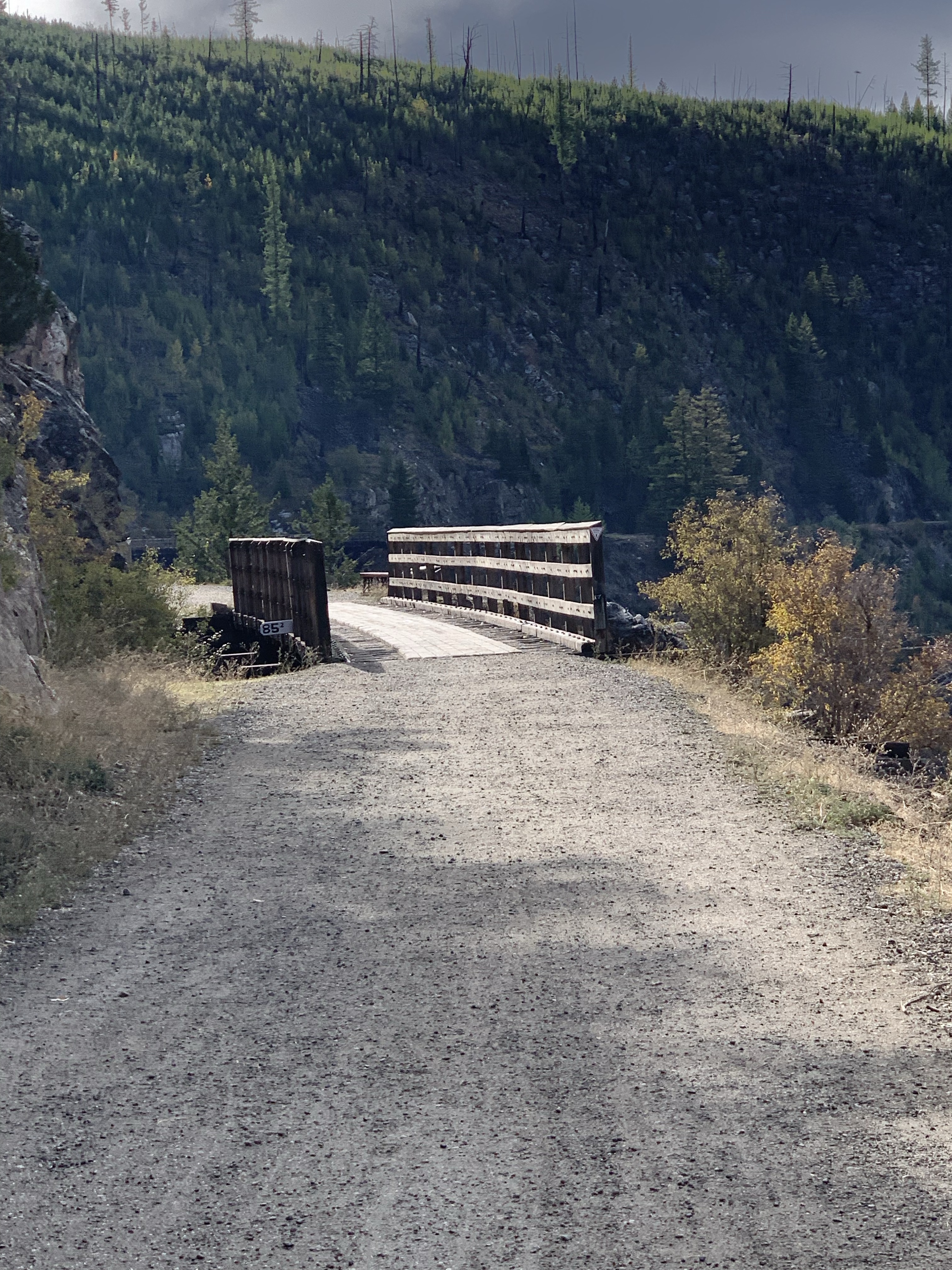
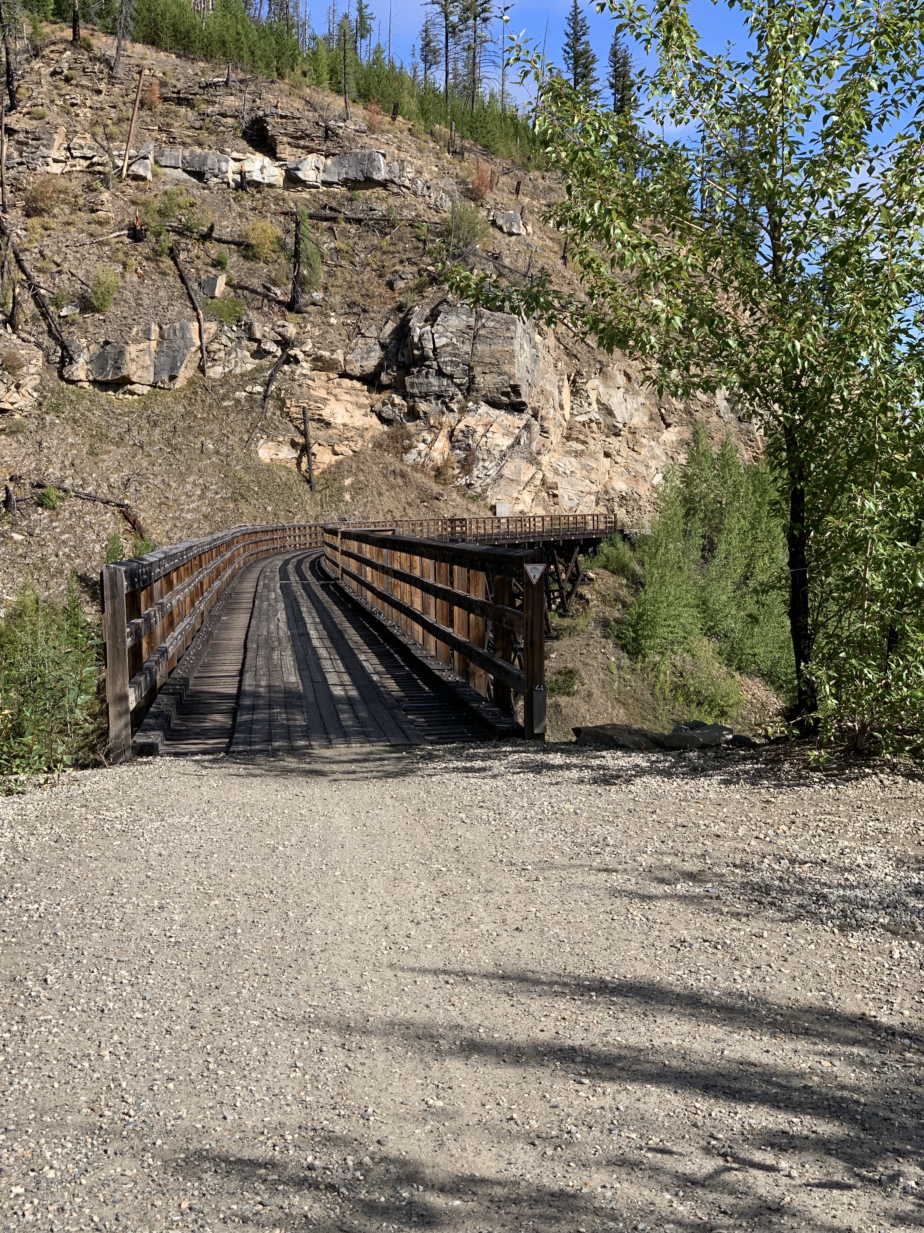
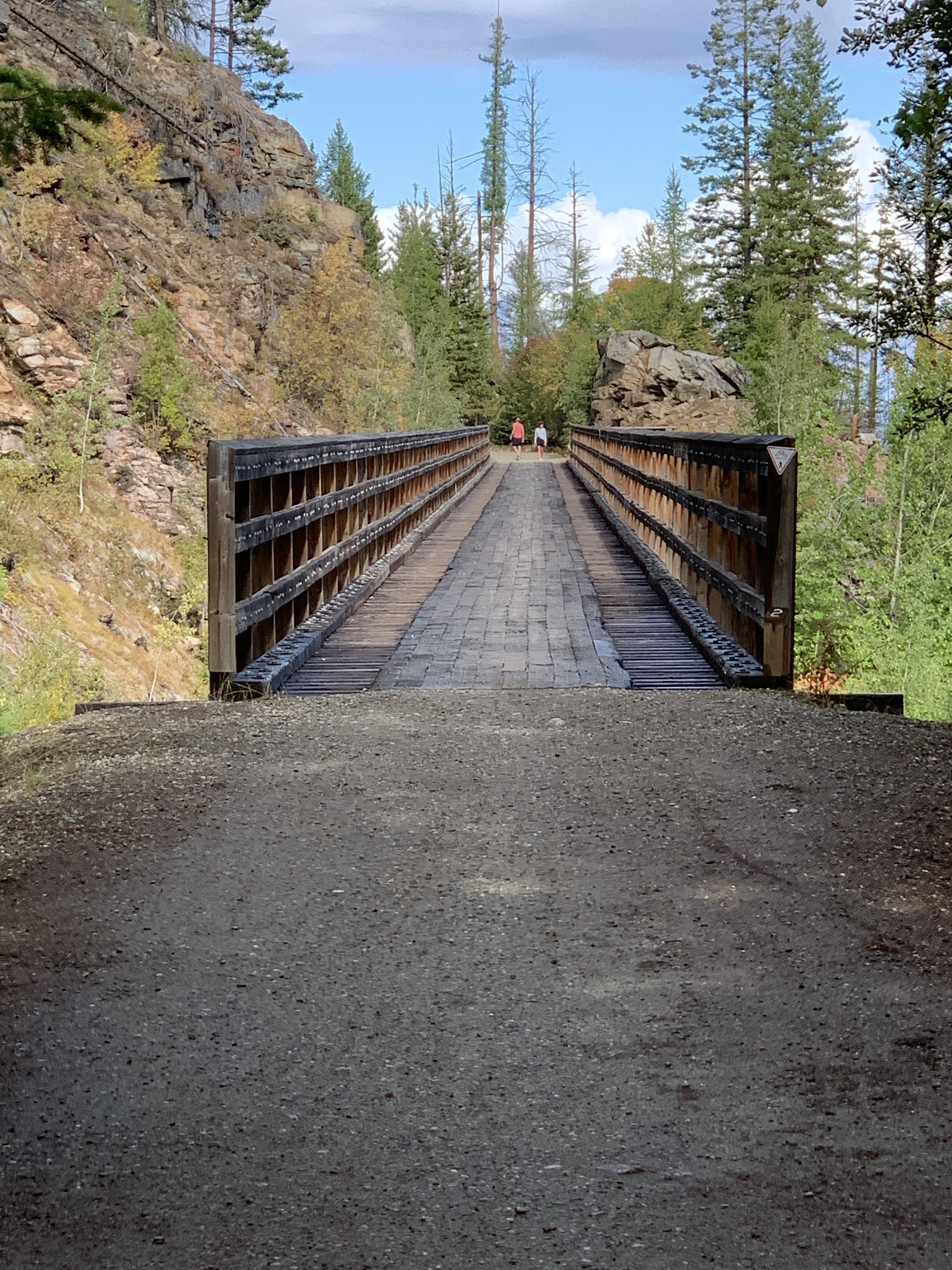
*Trestle 10 (M86.4; km139.0) 194 feet long. 
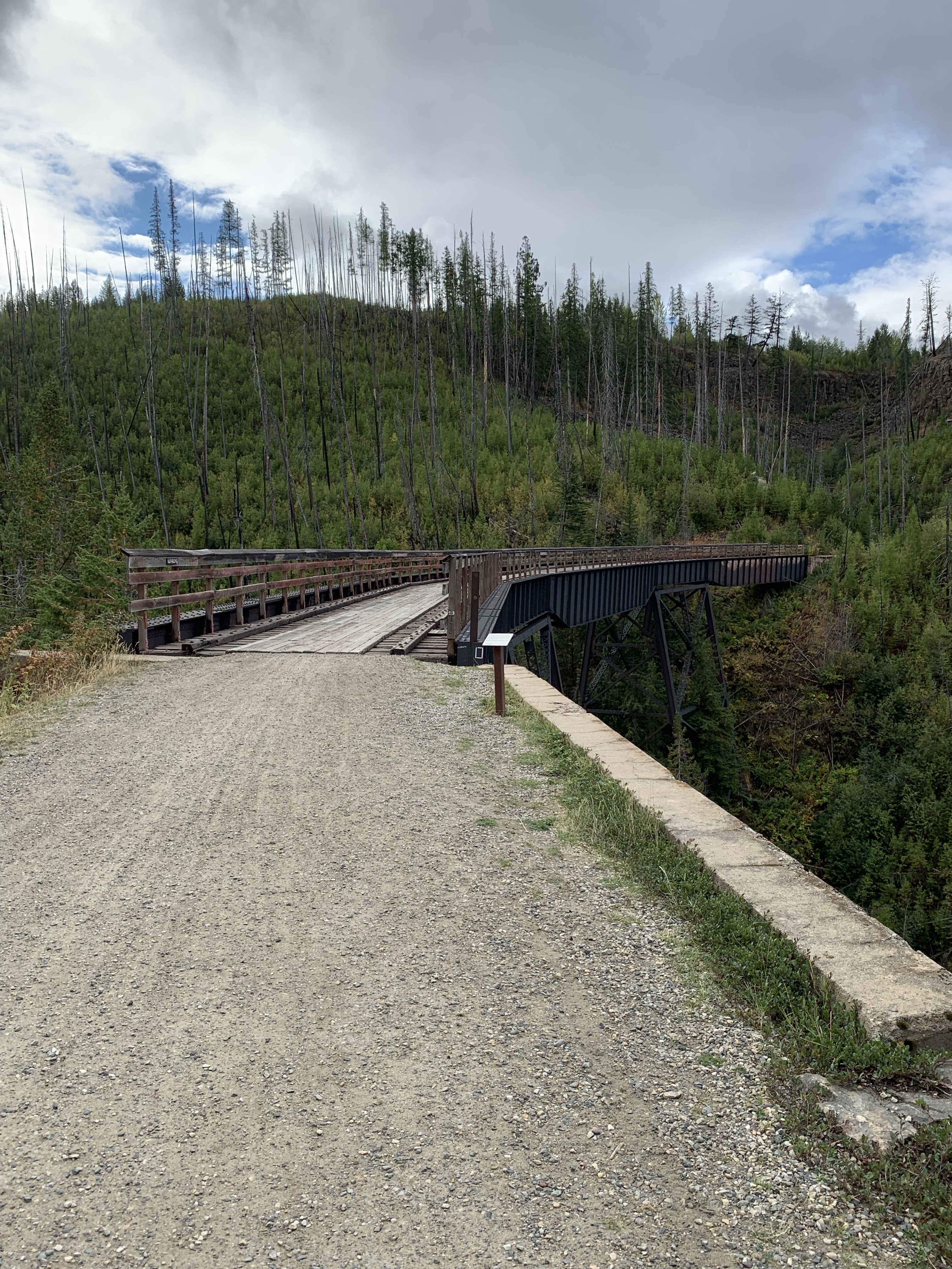
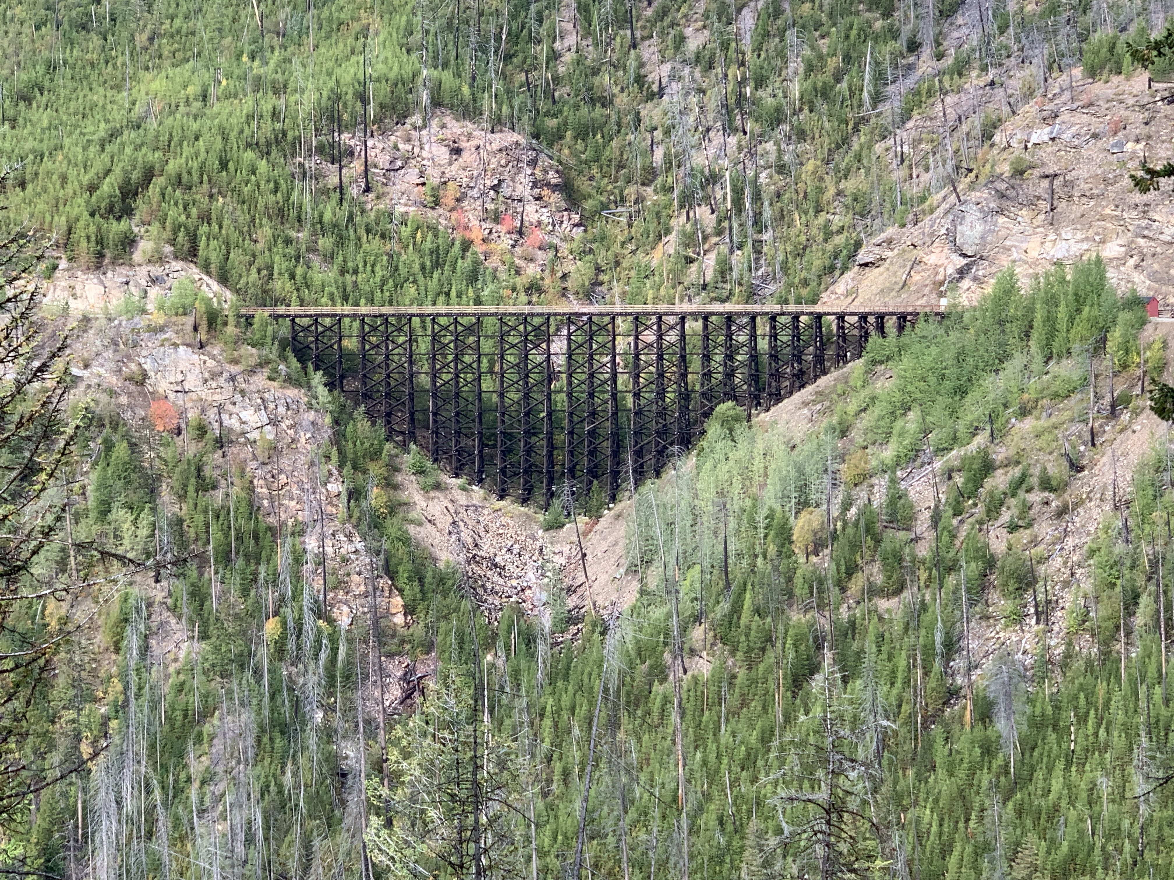
*Trestle 9 (M86.5; km139.2) 365 feet long and 148 feet high. East Fork Canyon (Klo) Creek Bridge consisting of five through plate girder spans. 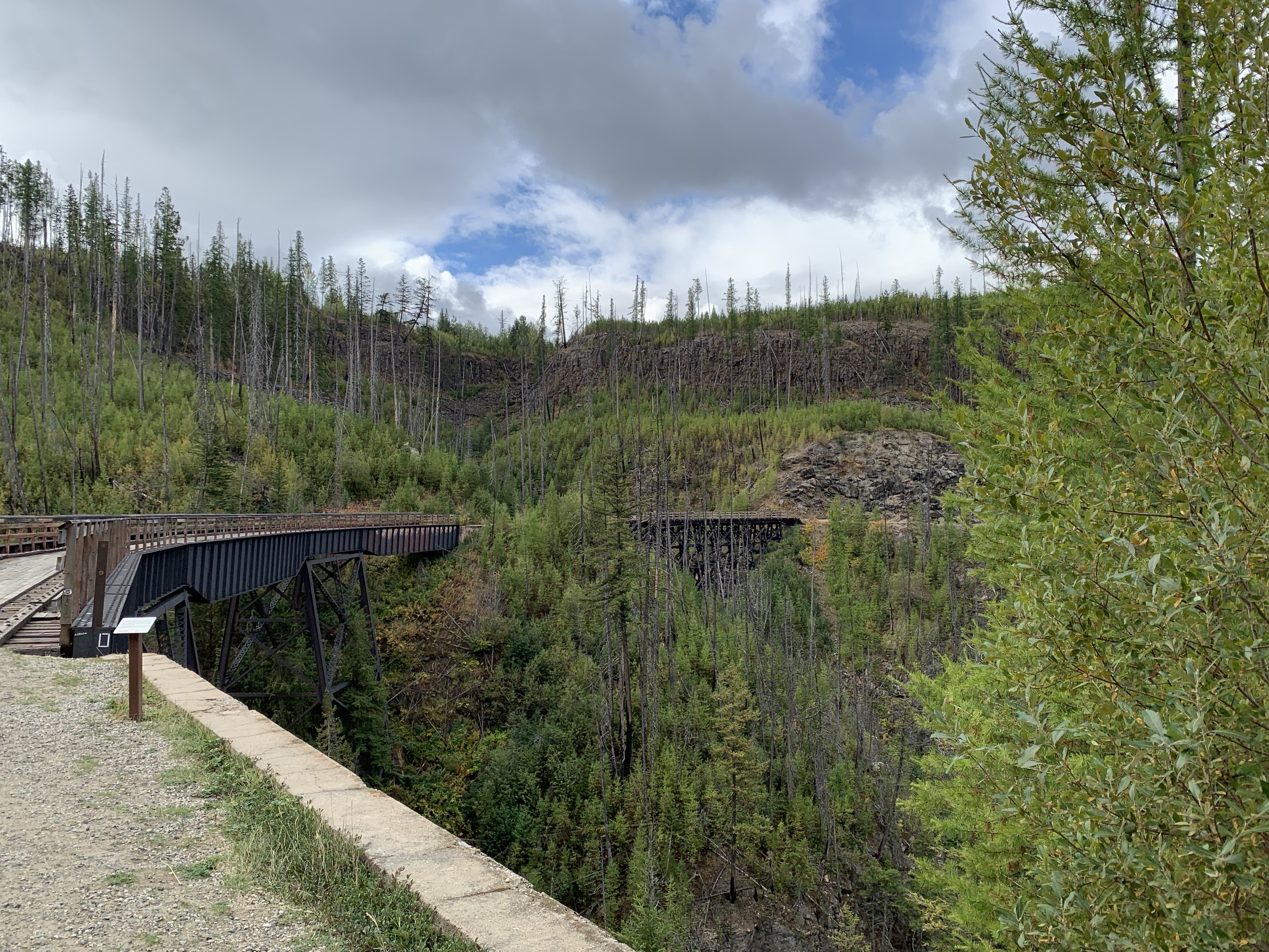
*Trestle 8 (M86.6; km139.3) 240 feet long and 65 feet high. 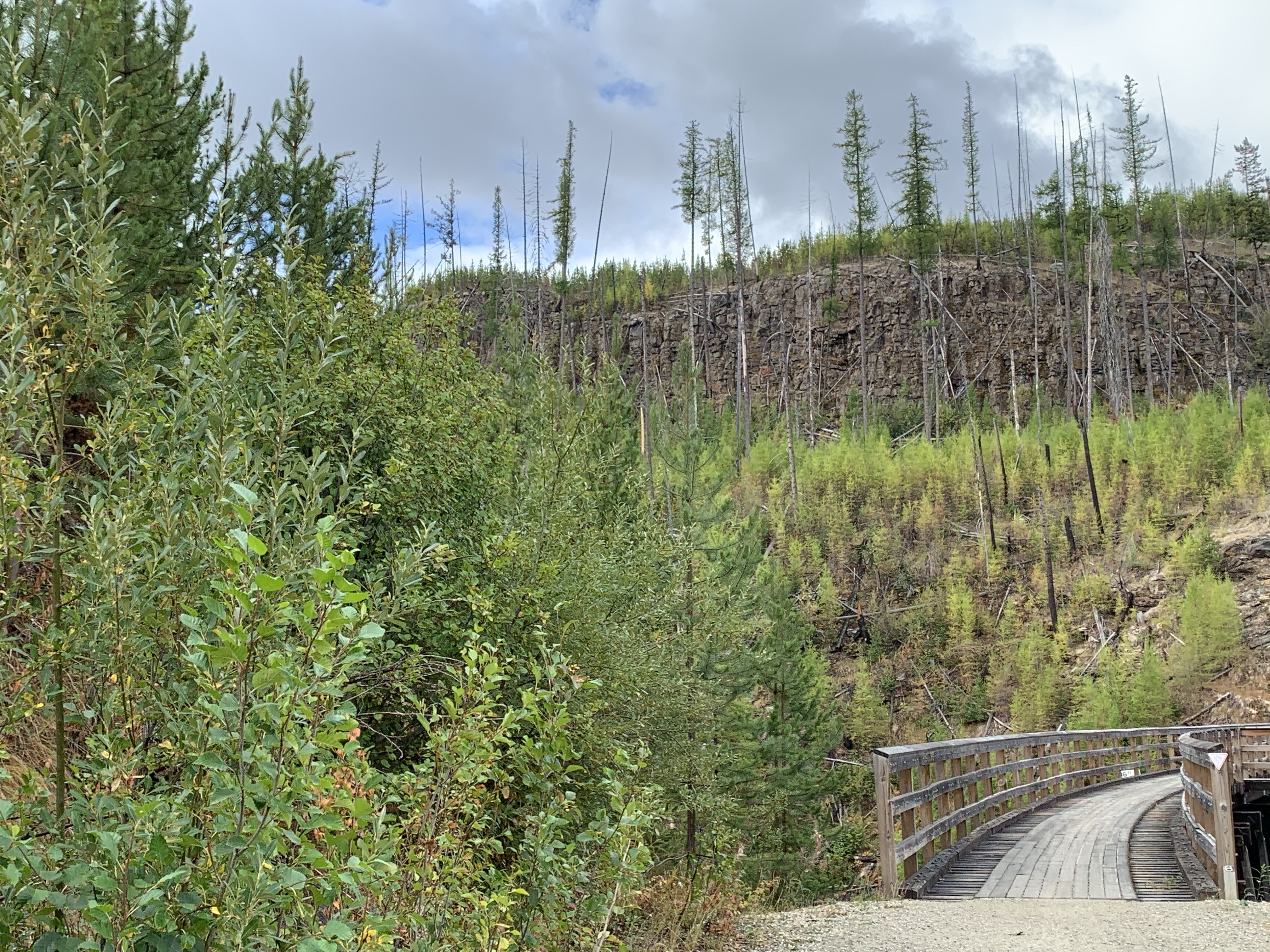
*Trestle 7 (M87.4; km140.1) 300 feet long. 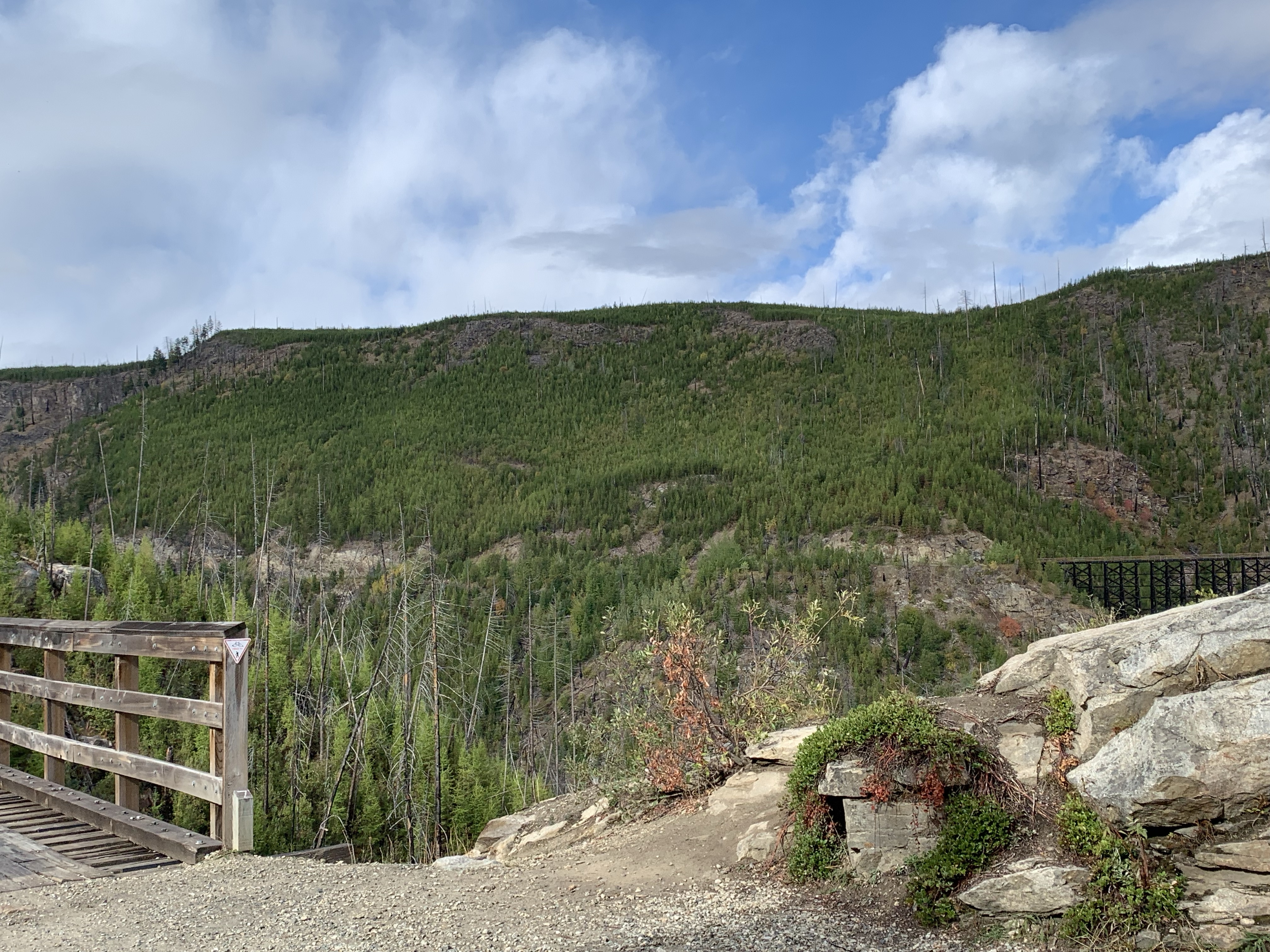
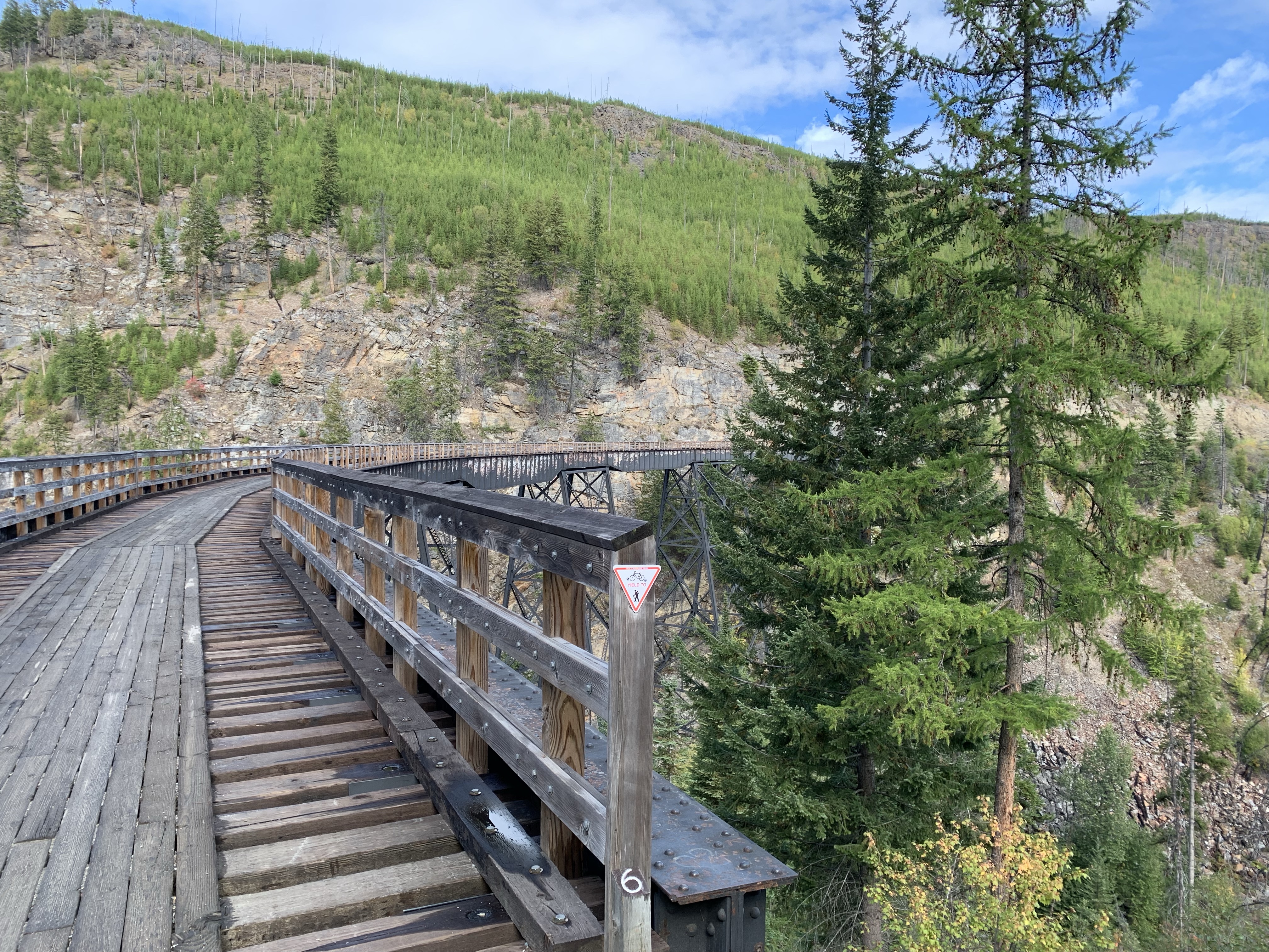
*Trestle 6 (M87.9; km141.4) 721 feet long and 182 feet high. West Fork Canyon (Pooley) Creek Bridge consisting of twelve through plate girder spans. Originally a large frame trestle, this bridge was the site at which the east and west sections of KVR’s First Subdivision were joined on October 2nd, 1914. 
*Trestle 5 (M88.0; km141.6) 75 feet long. 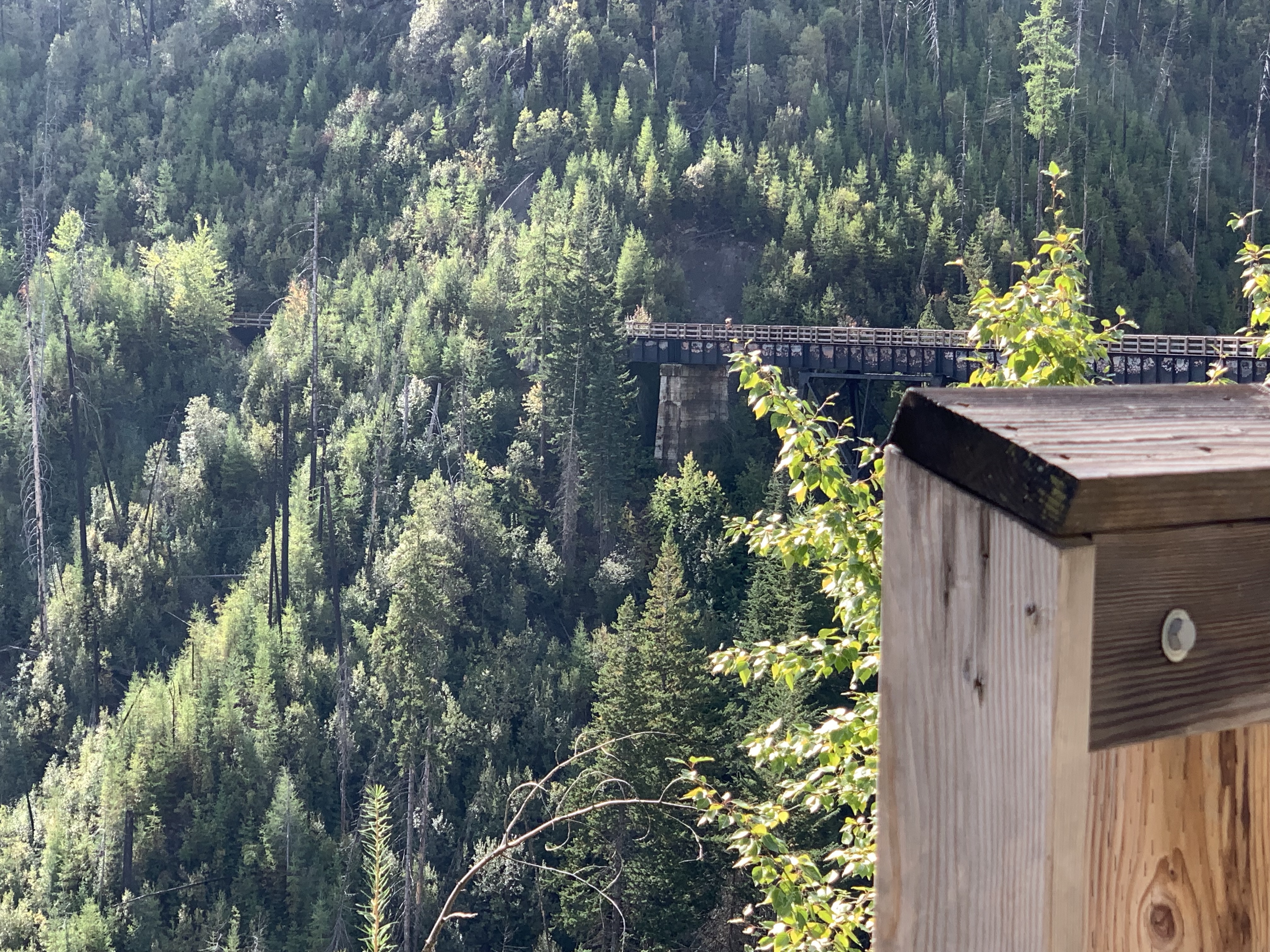
*Trestle 4 (M88.2; km141.9) 420 feet long. 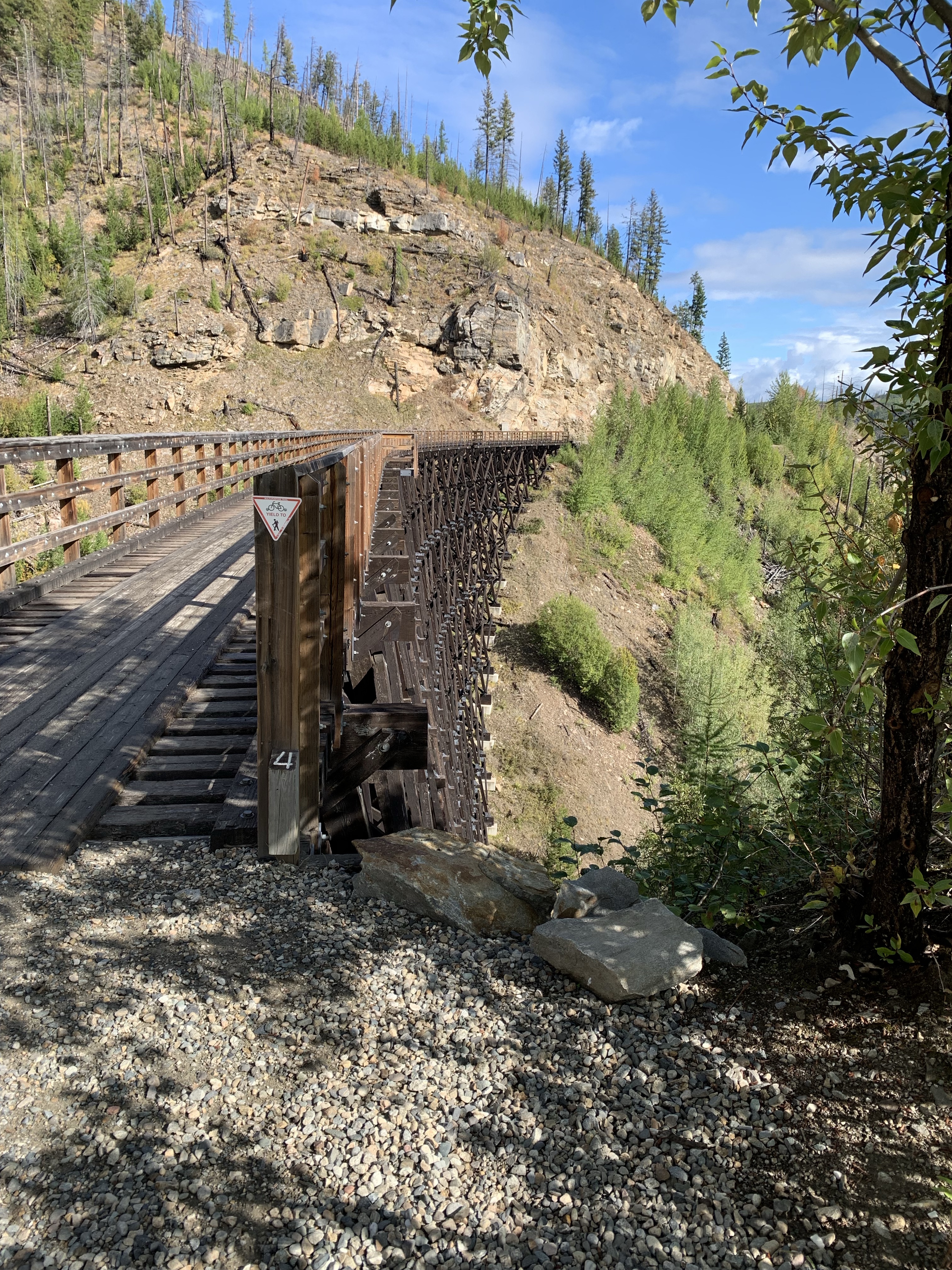
*Trestle 3 (M88.4; km142.2) 270 feet long. 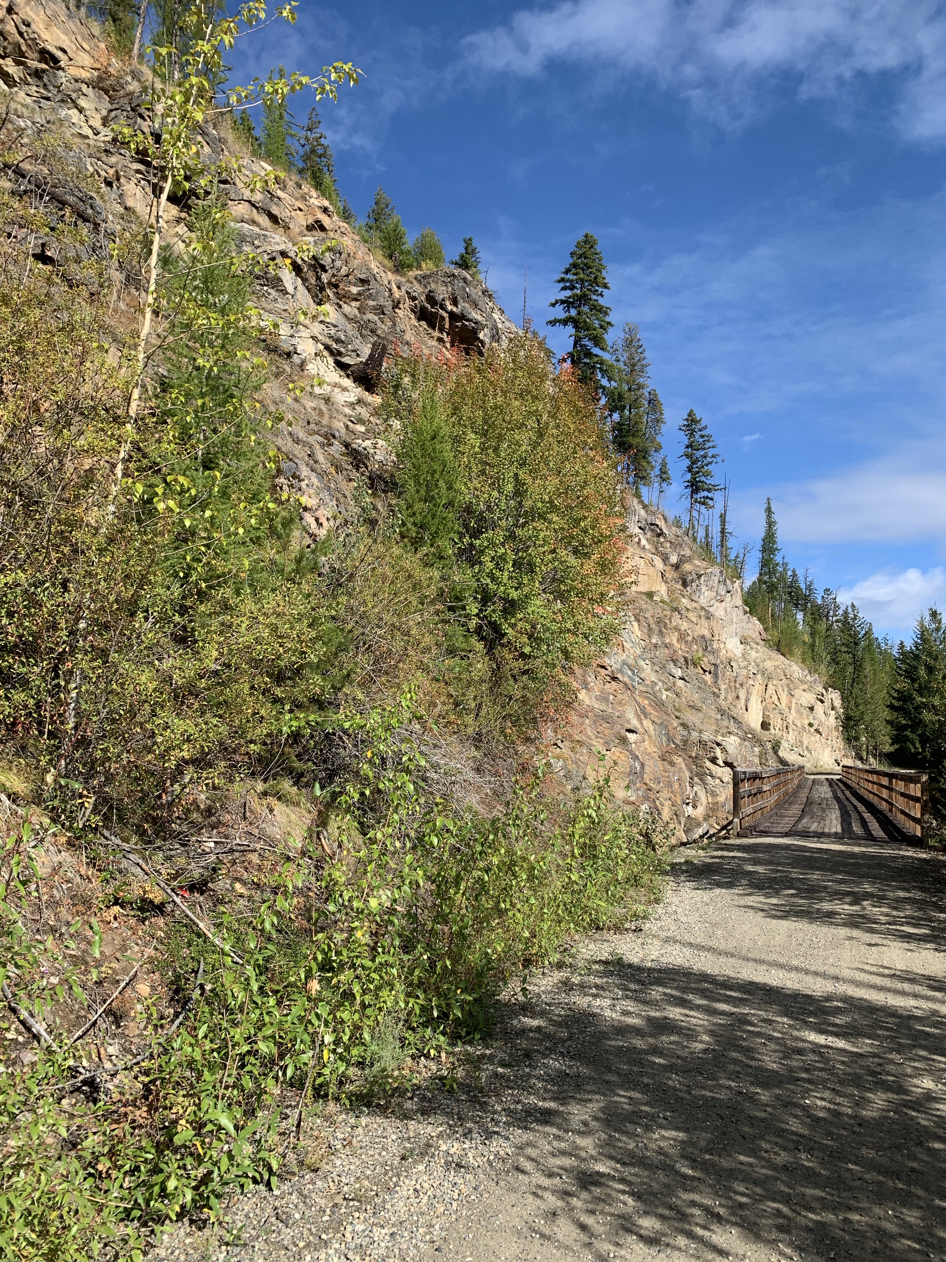
*Trestle 2 (M89.4; km143.8) 360 feet long. 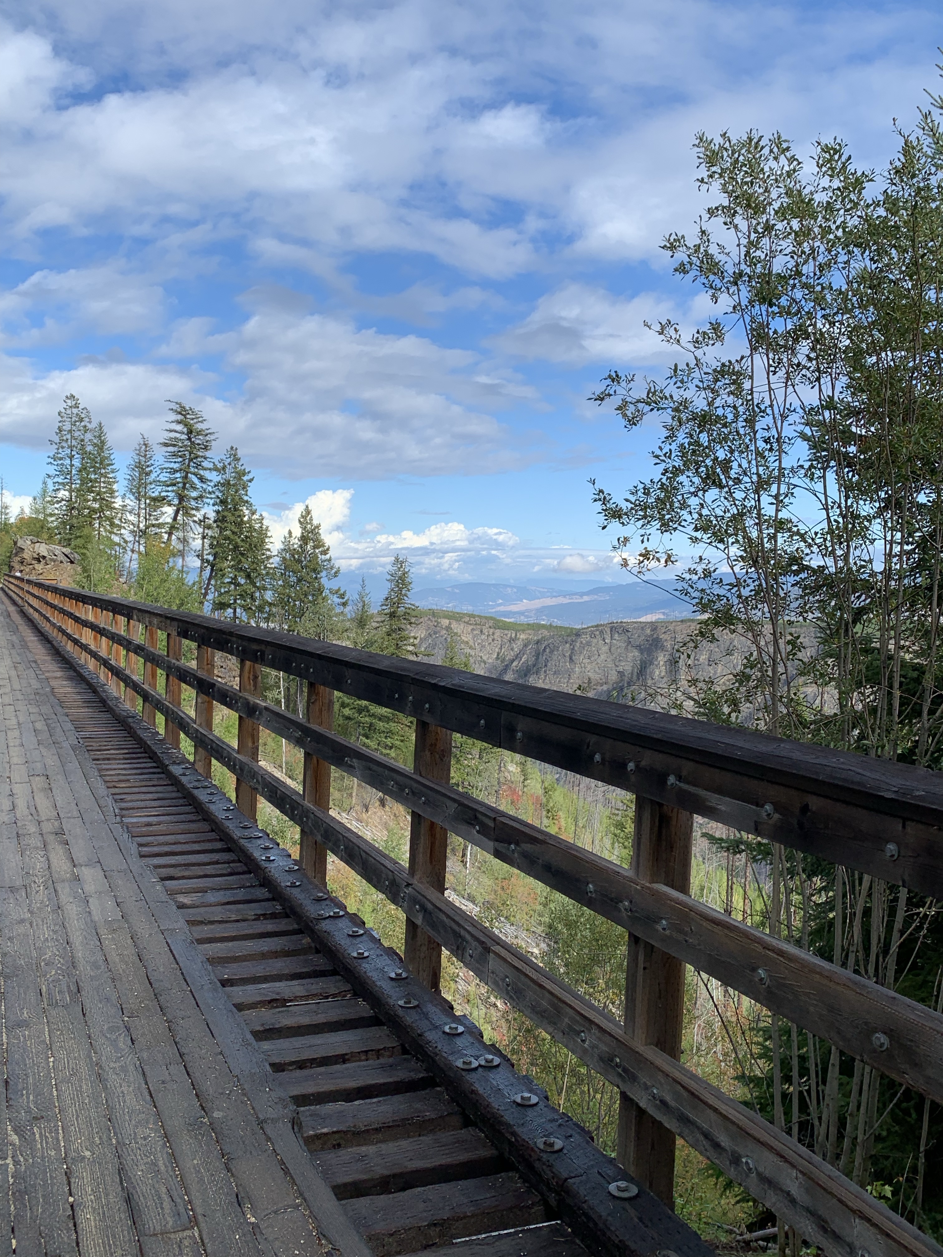
*Trestle 1 (M90.4; km145.5) 255 feet long. 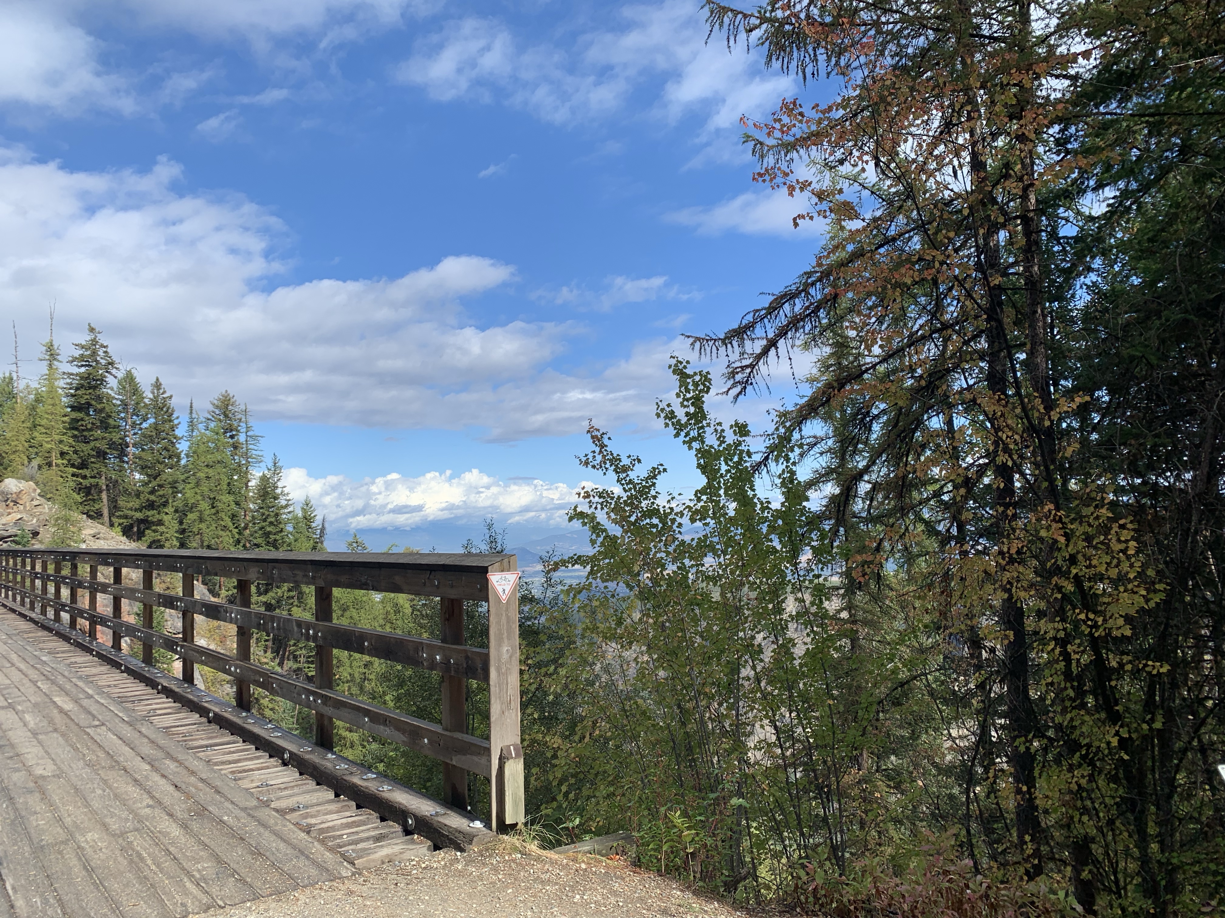
*Ruth (M91.3; km146.9) named after a daughter of Andrew McCulloch, this station was originally named Kelowna Siding. 
*Bridge (M96.3; km154.9) 780 feet long, steel span (Bellevue Creek Trestle). 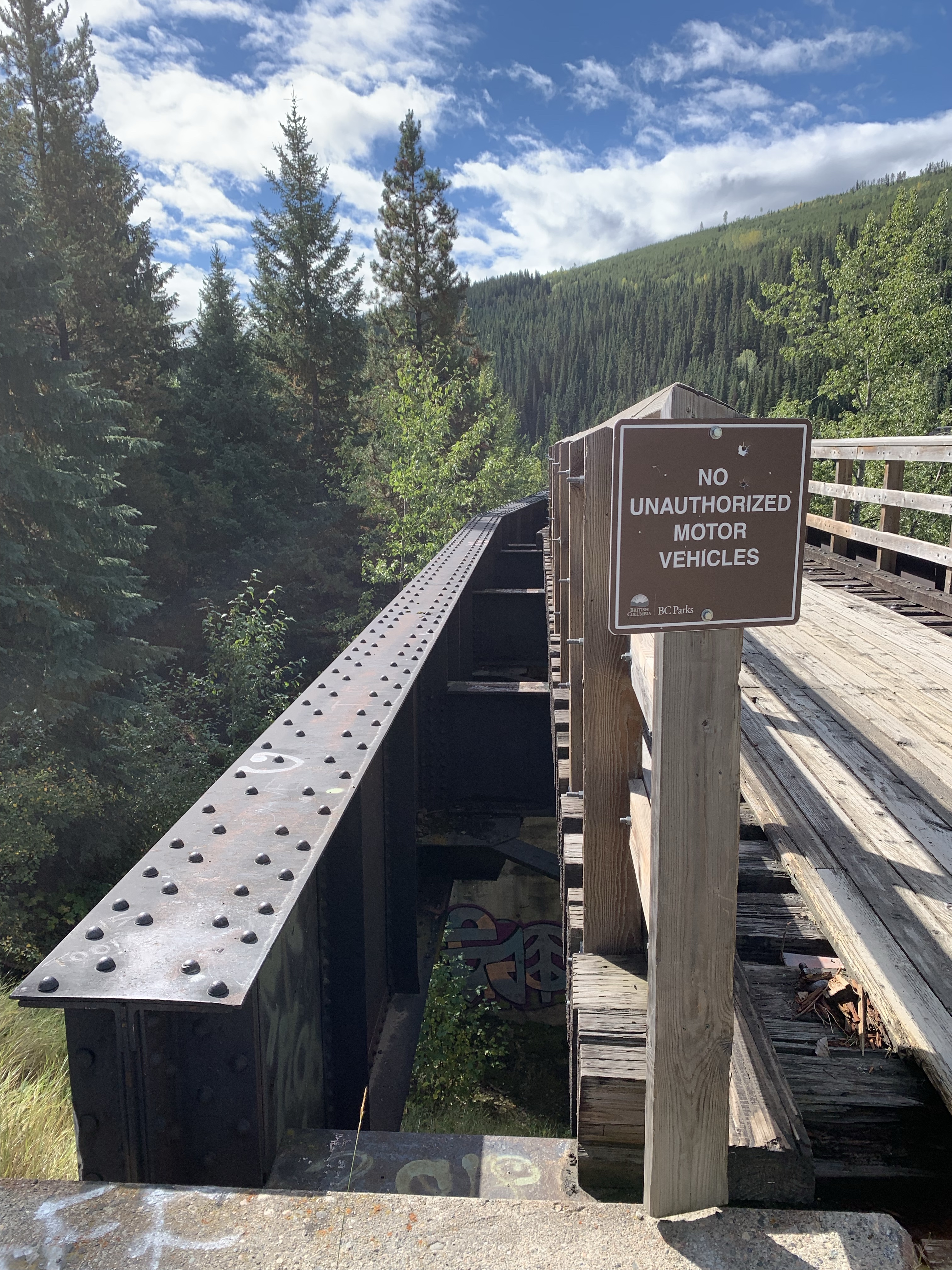


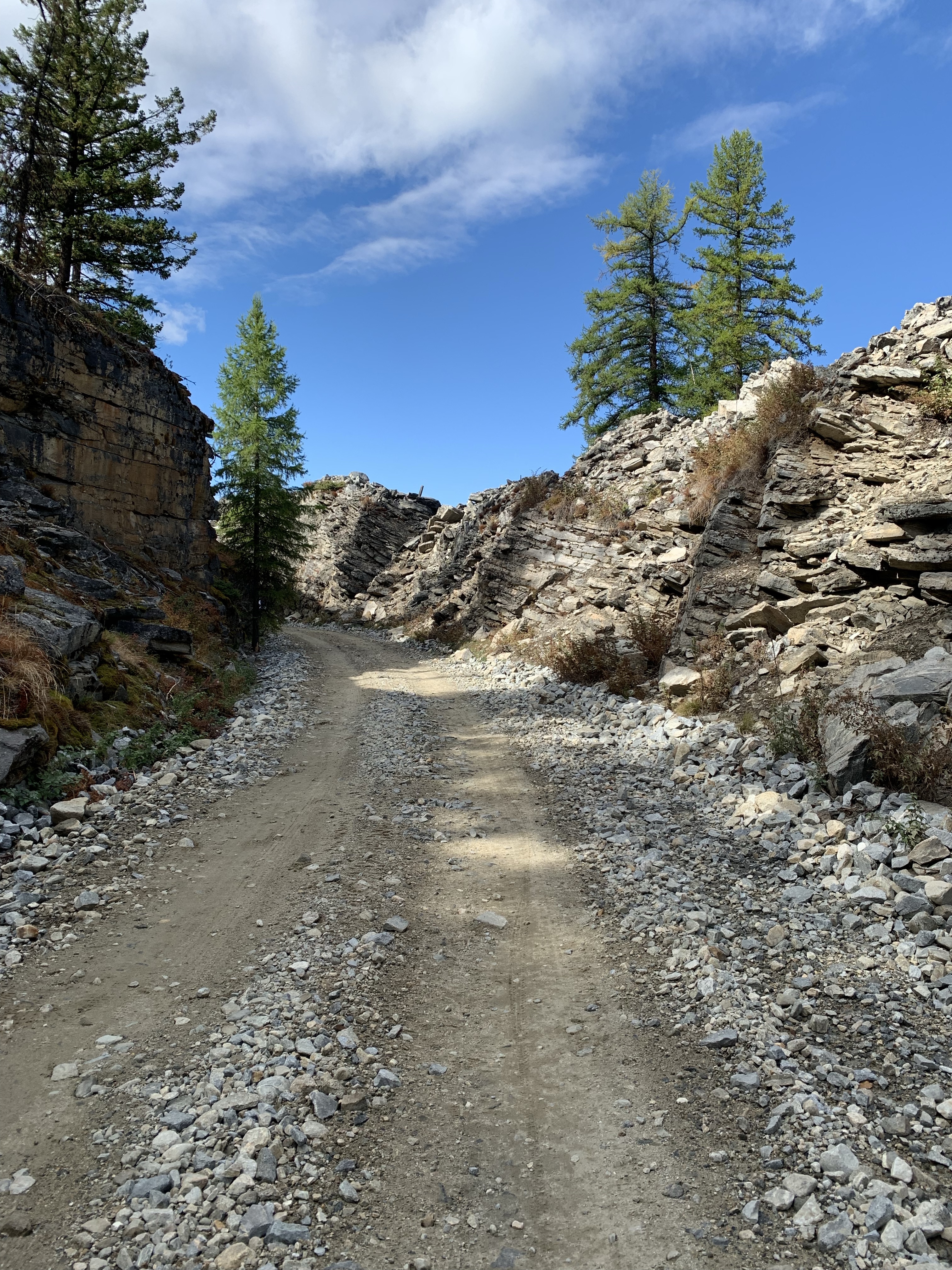
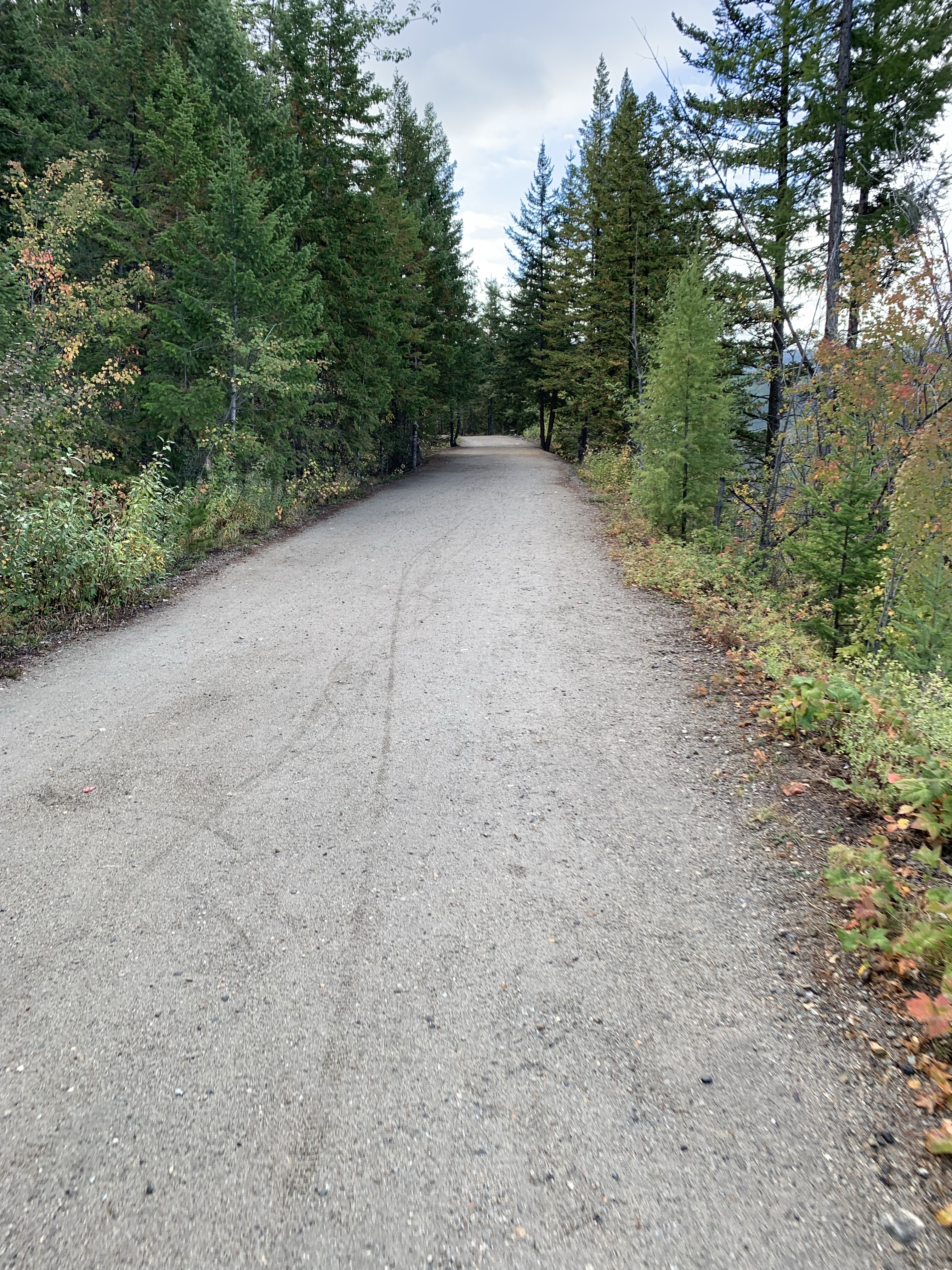
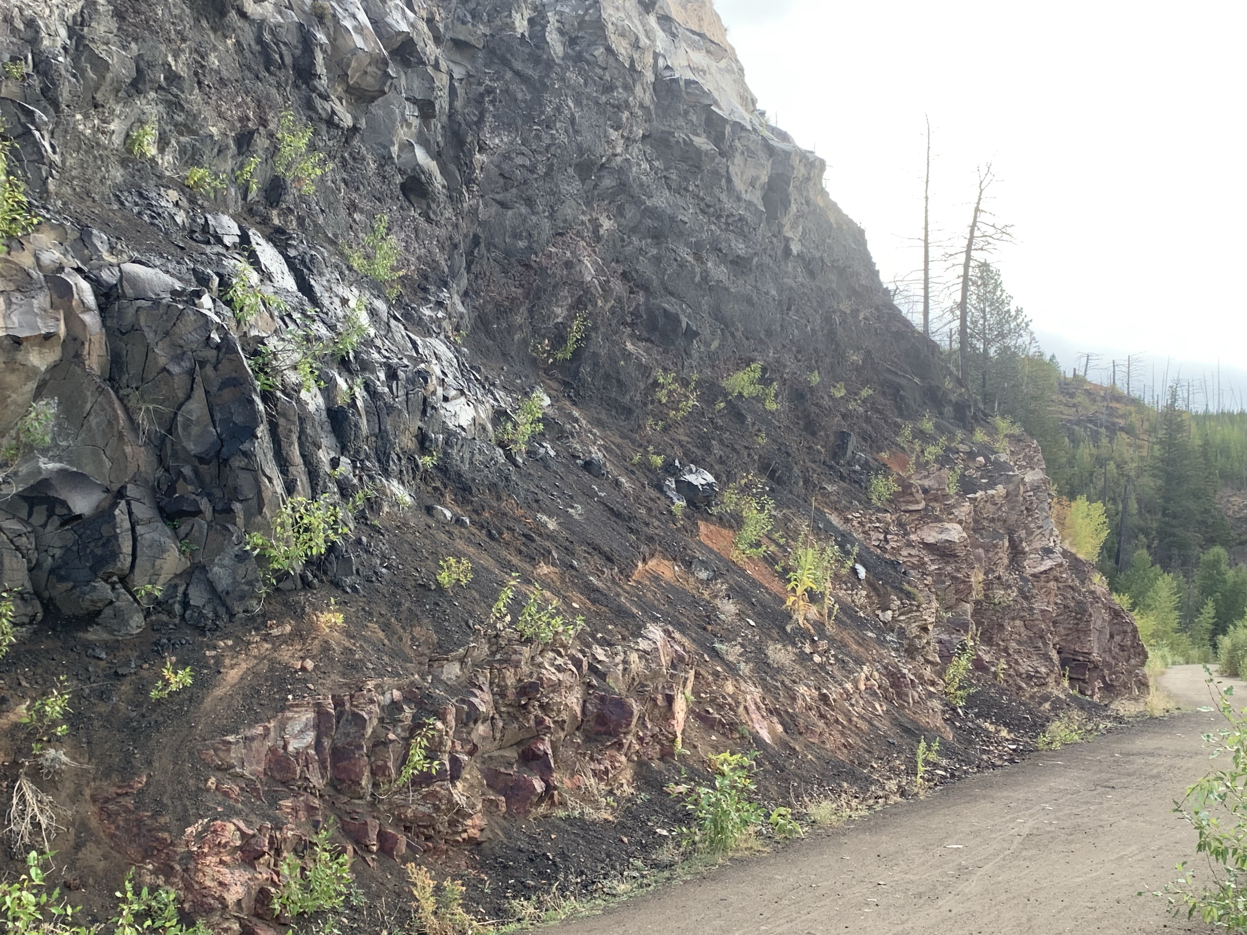
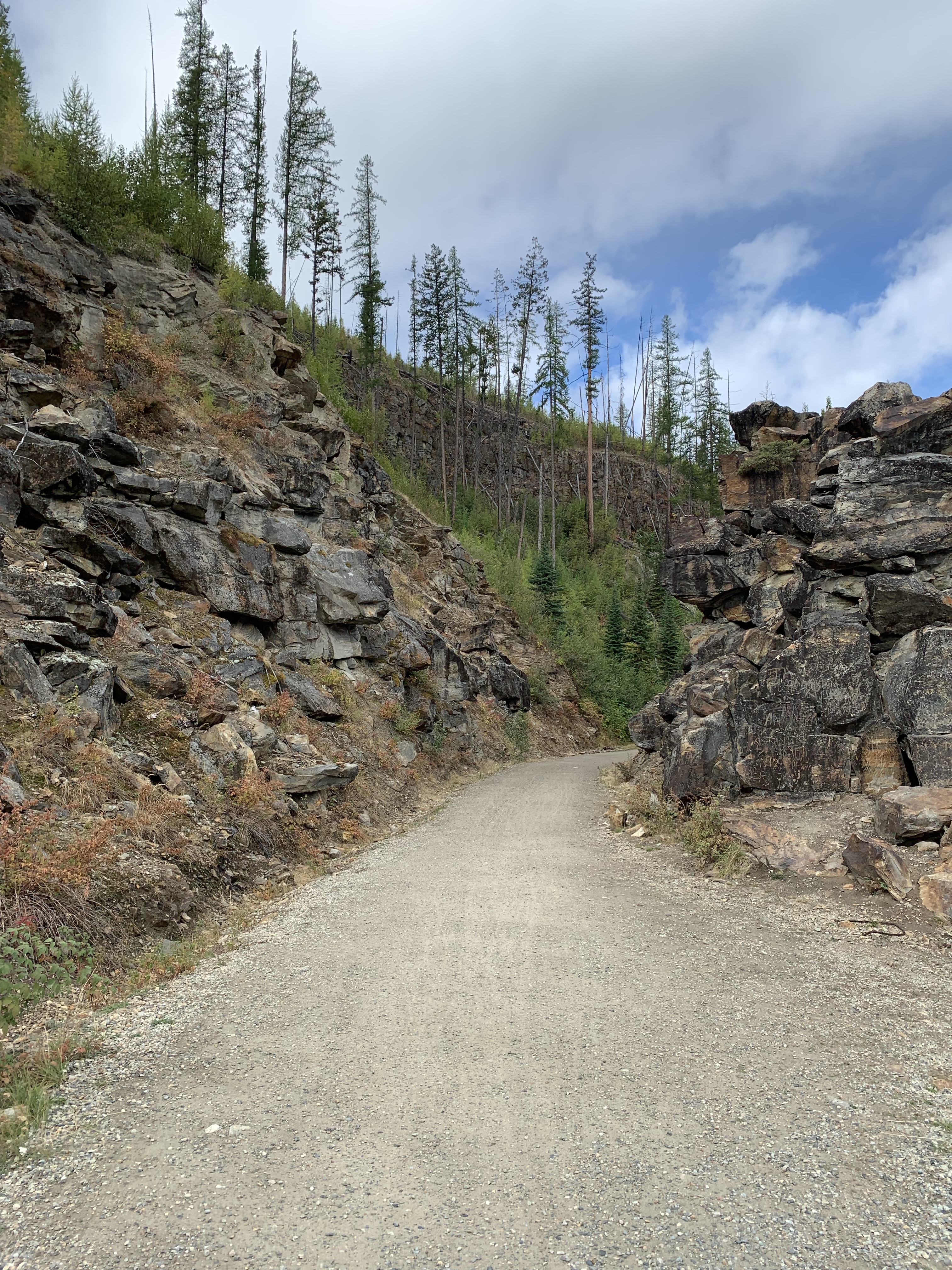
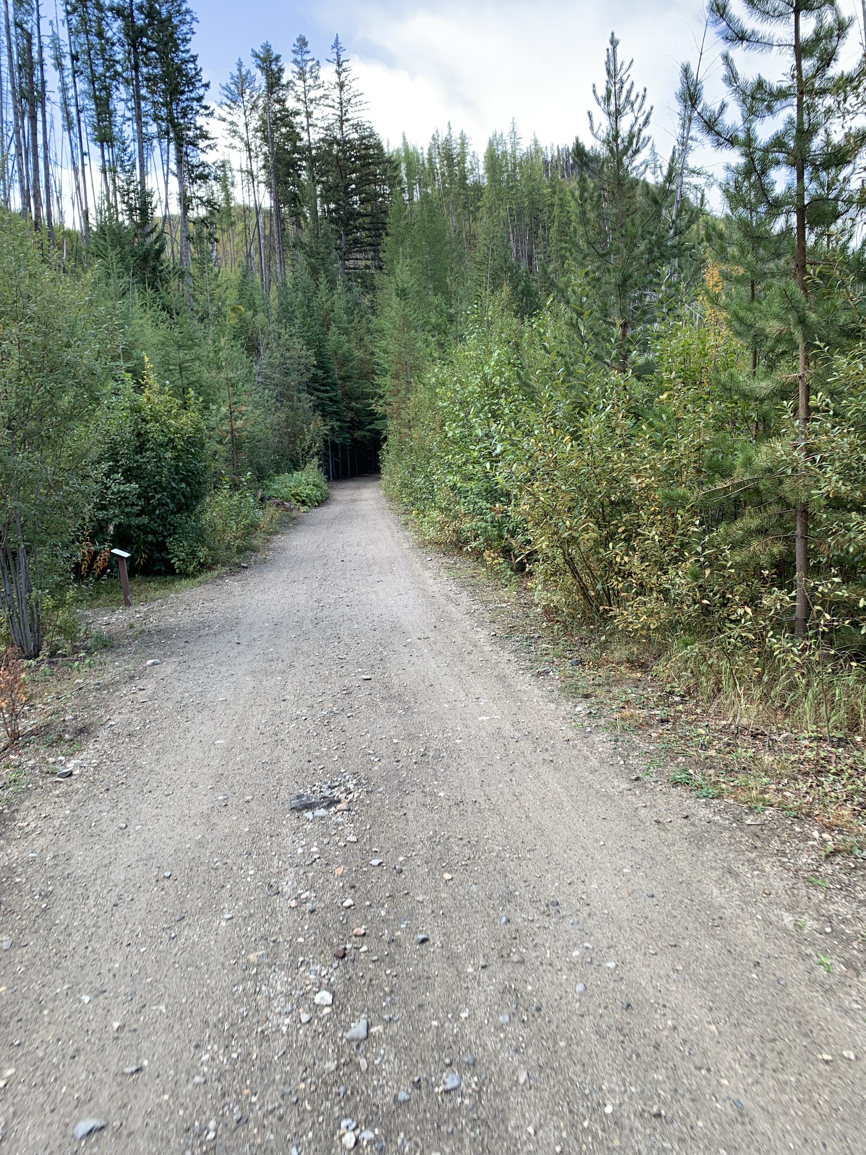
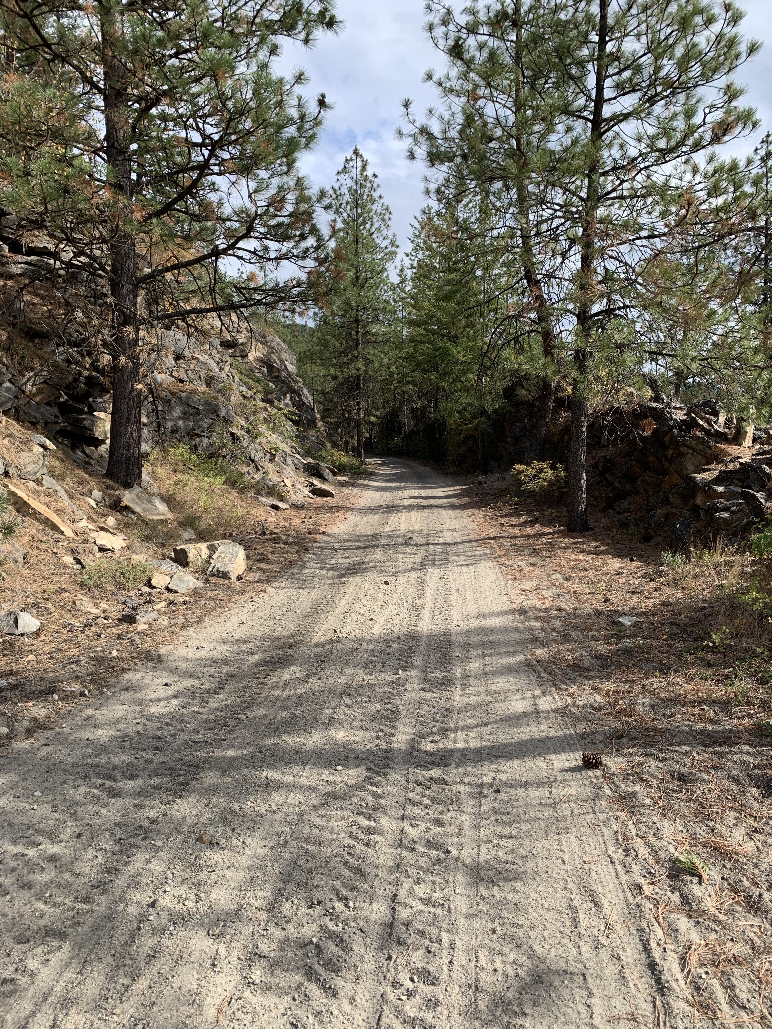
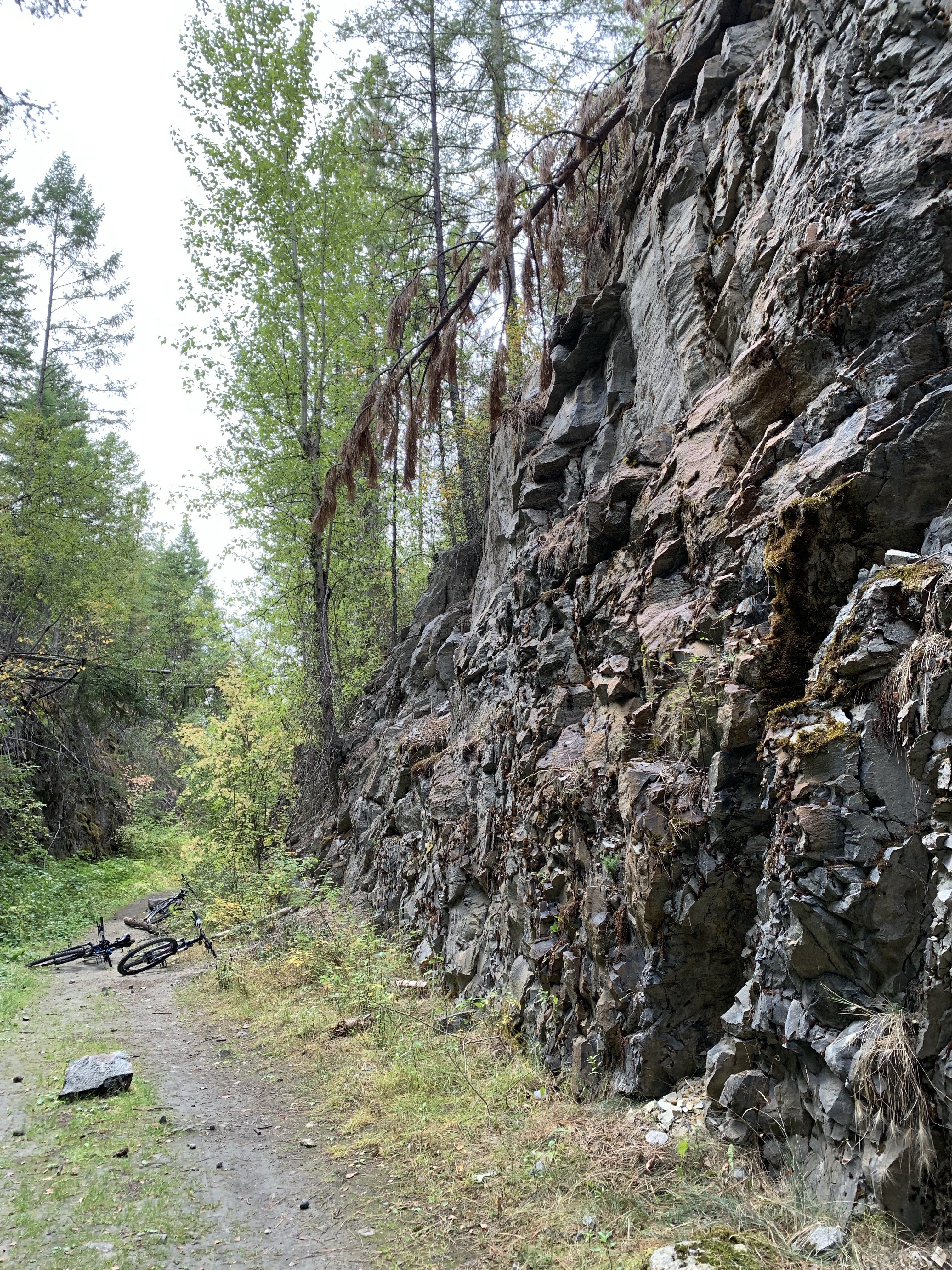
The road was quite rocky. 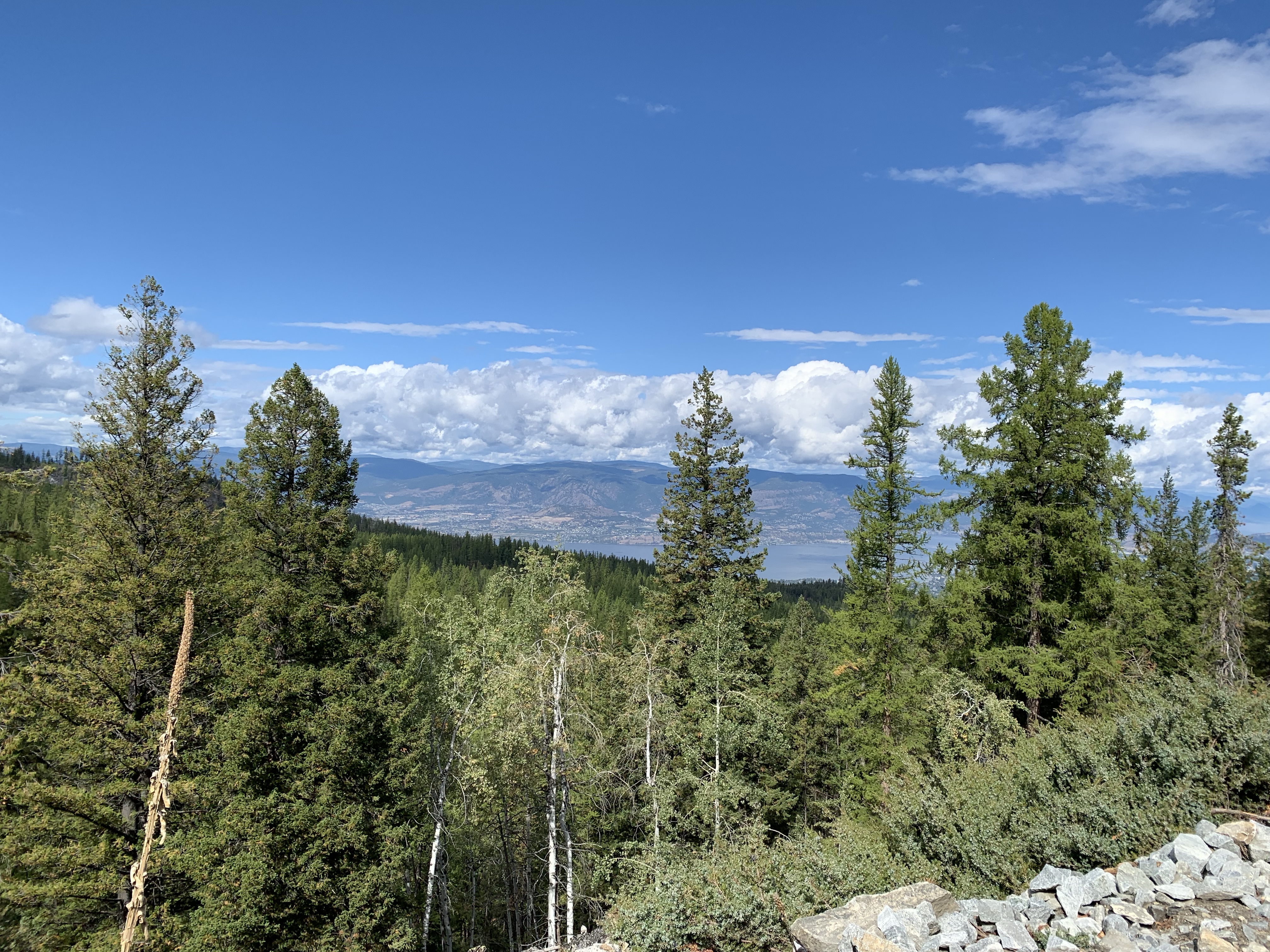
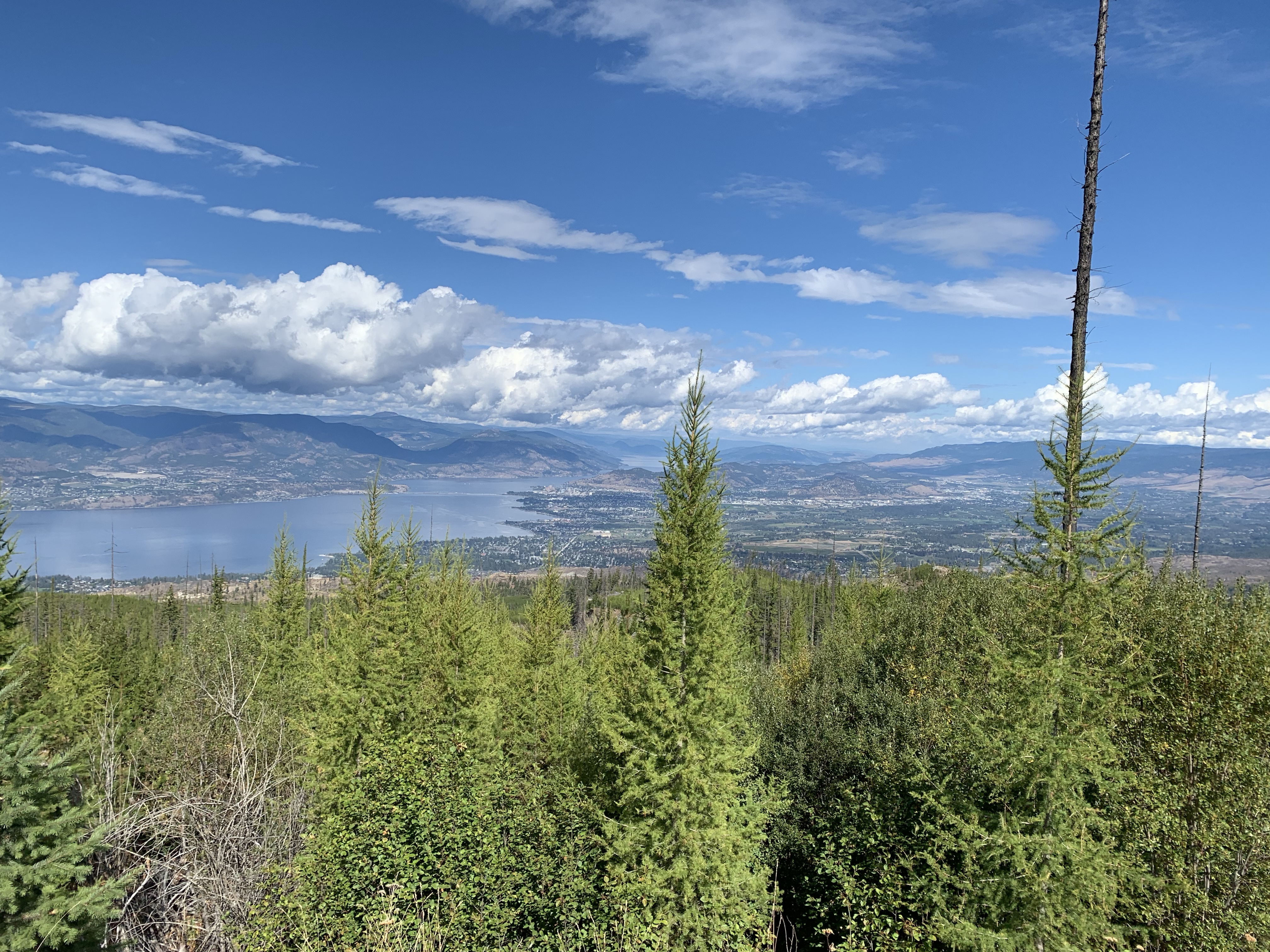
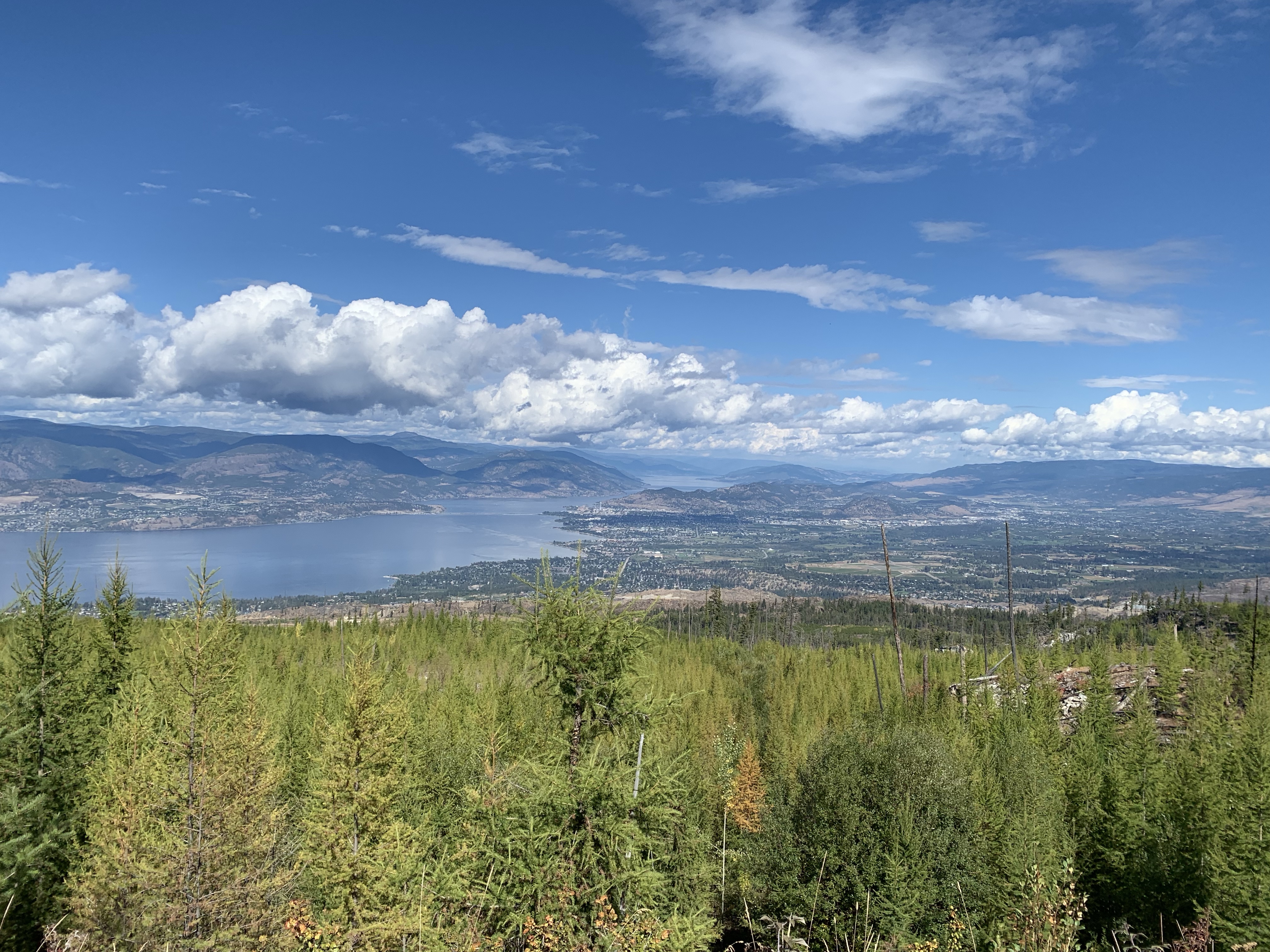
Looking north at the city of Kelowna 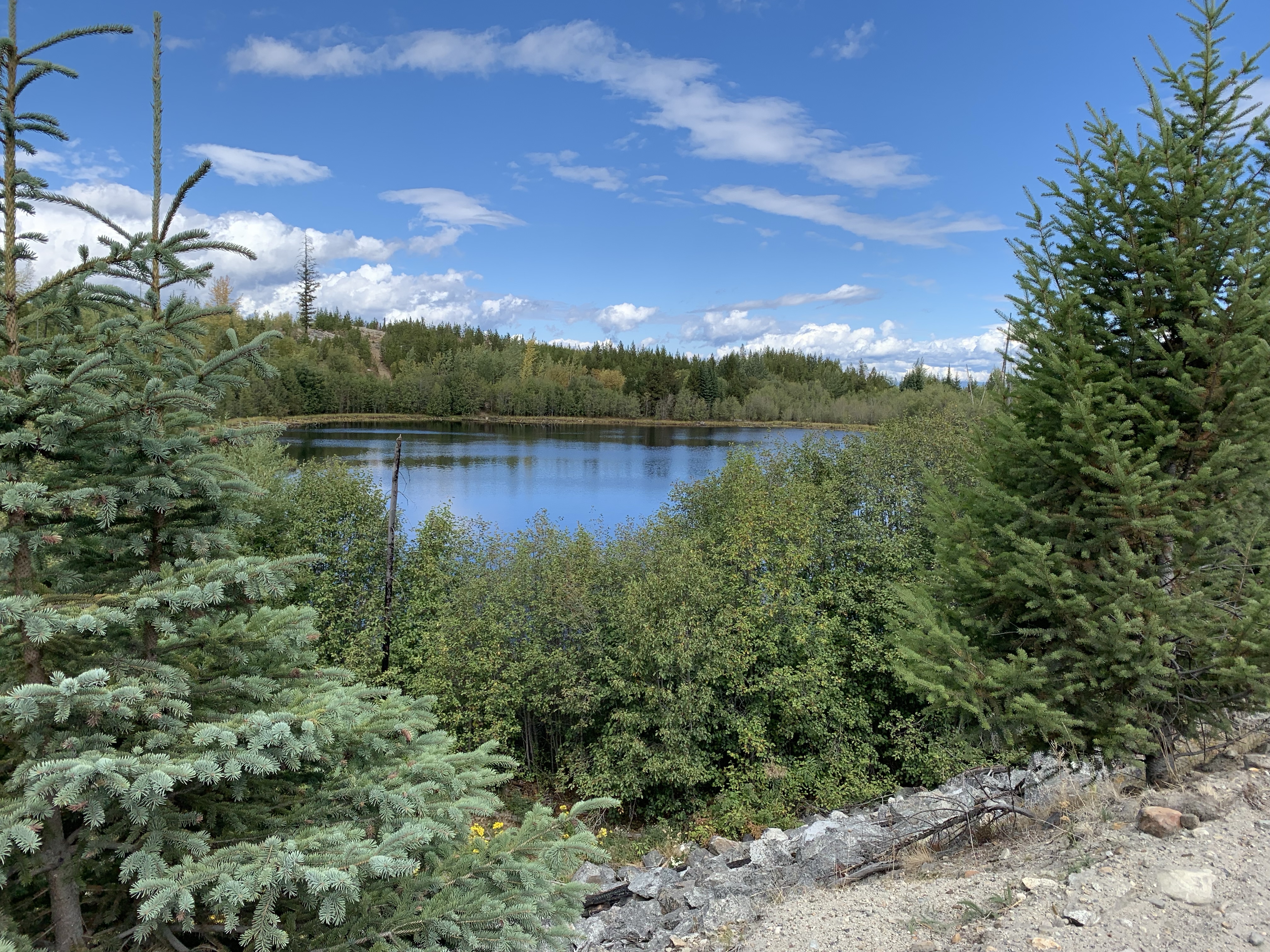
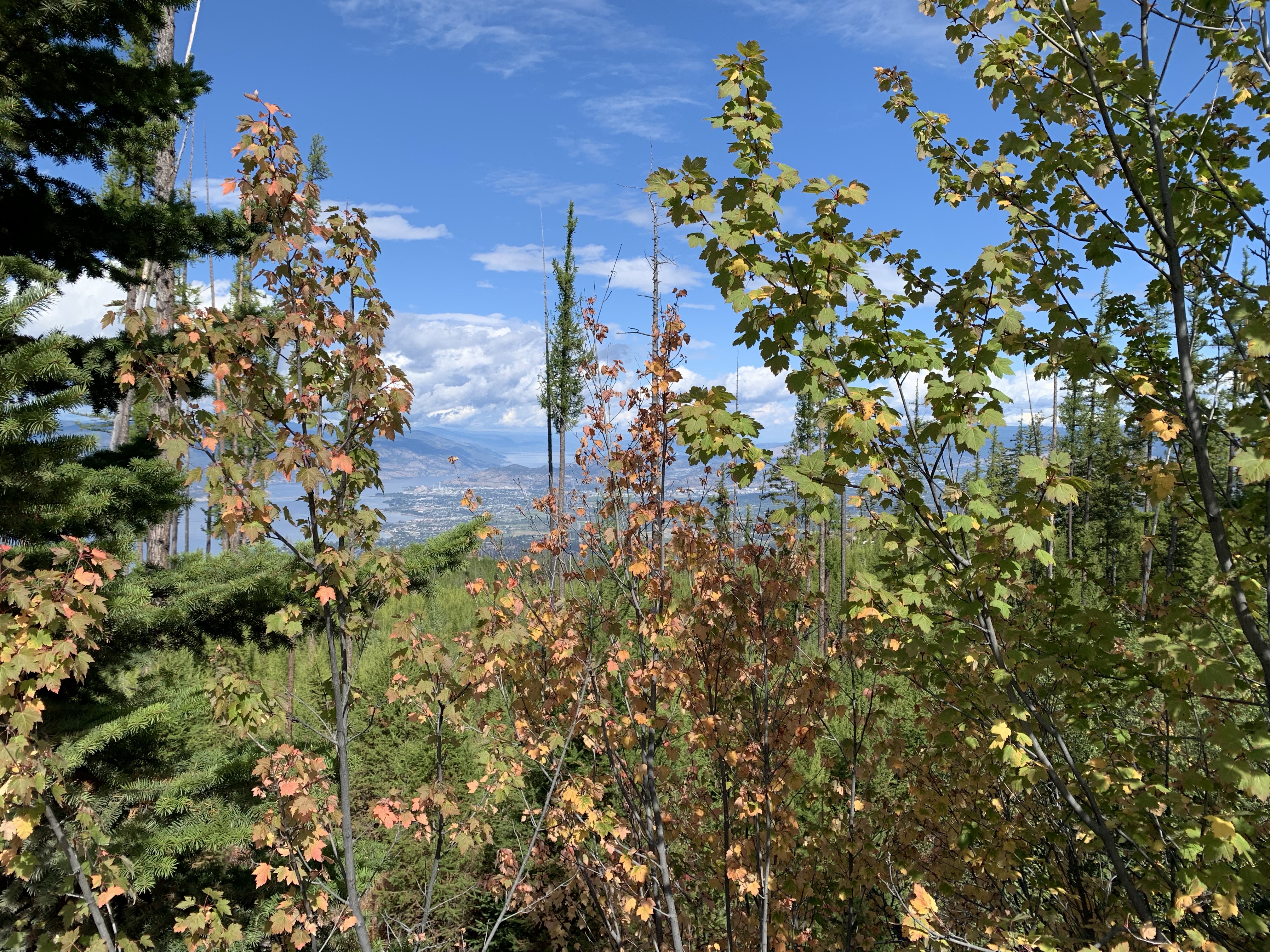
unknown lake 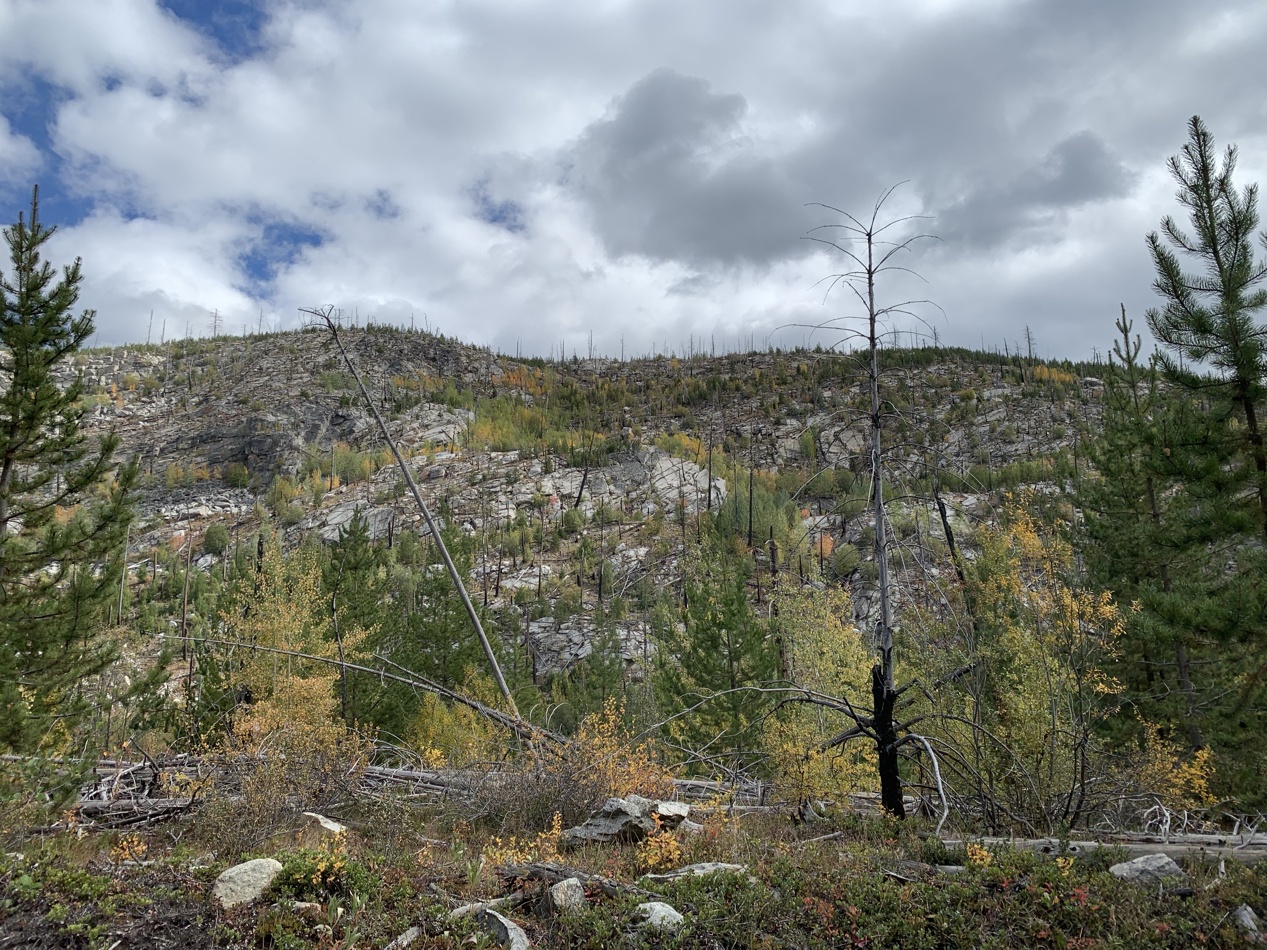
Chute Lake 
*Chute Lake (M106.6; km171.5) named for headwater of the swift running outflow creek, the station here held a strategic position a the top of the steep 2.2% grade from Penticton. The grade is the longest stretch of unbroken 2.2% grade in BC. A water tank and wye served to replenish the steamer locomotives and turn the helpers for the return to the Okanagan Valley. The water tank foundation remains. 
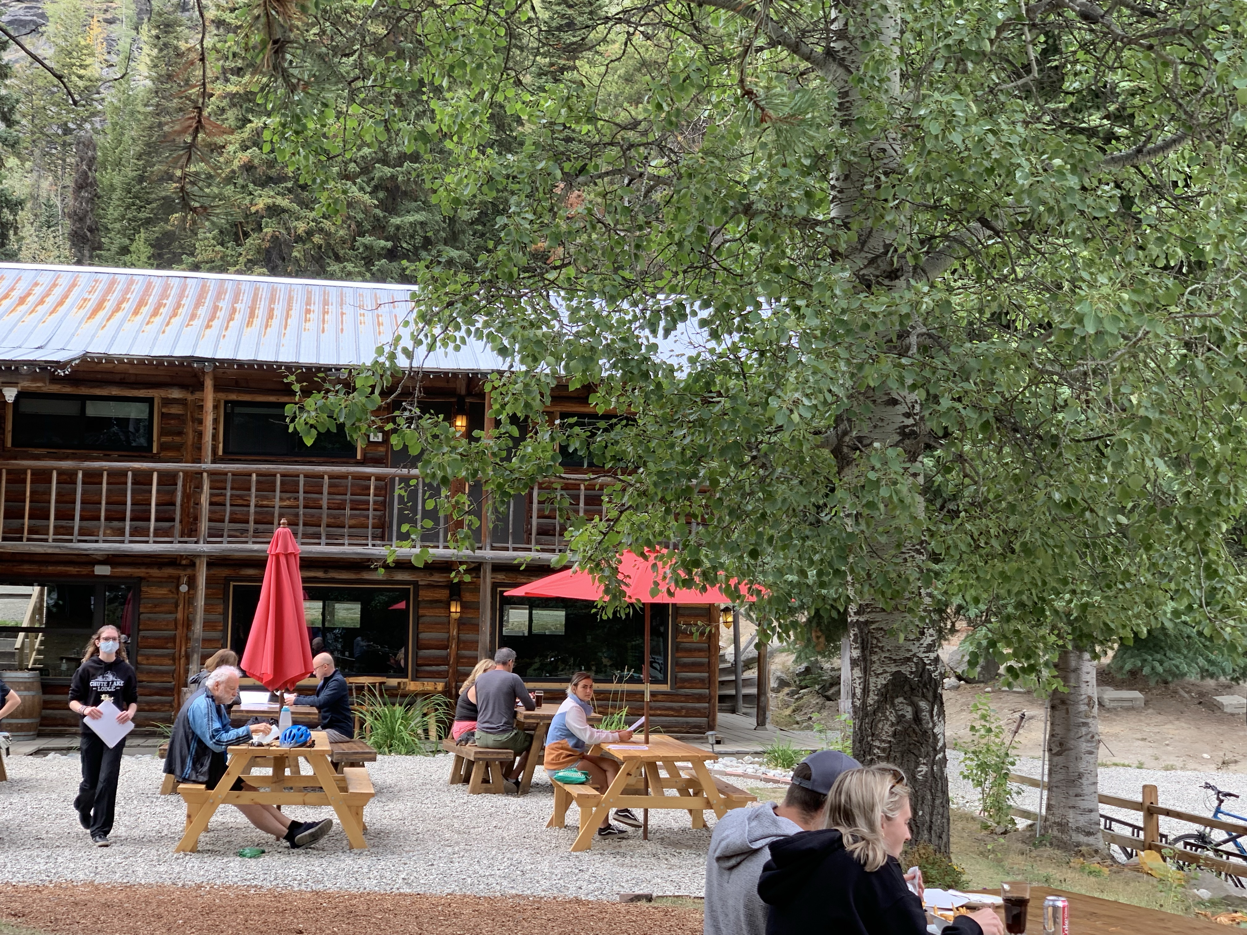
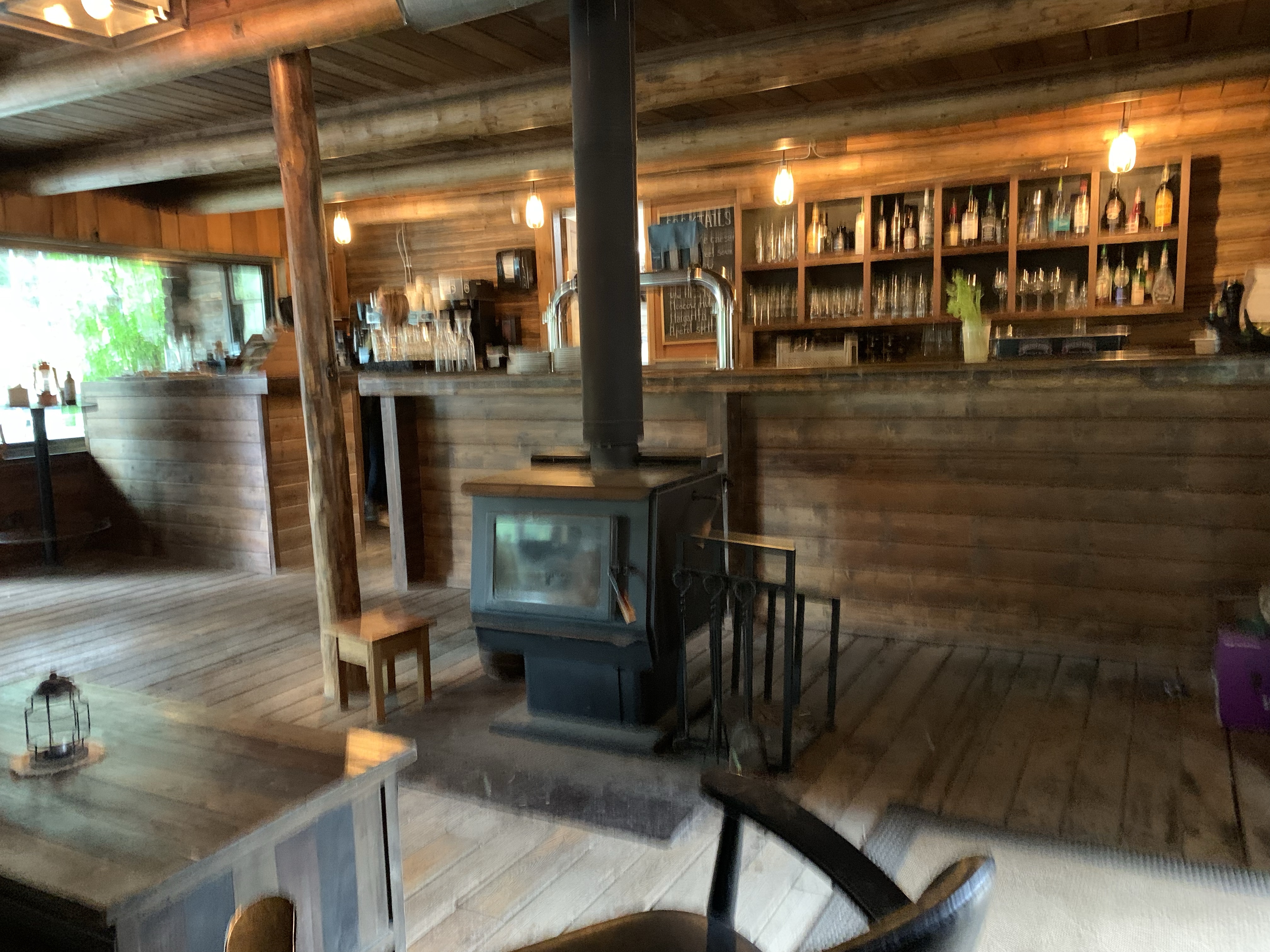
Chute Lake Lodge – the new owners of the lodge have recently did some renovations. This was the half way mark of our bike ride between Myra and Penticton. 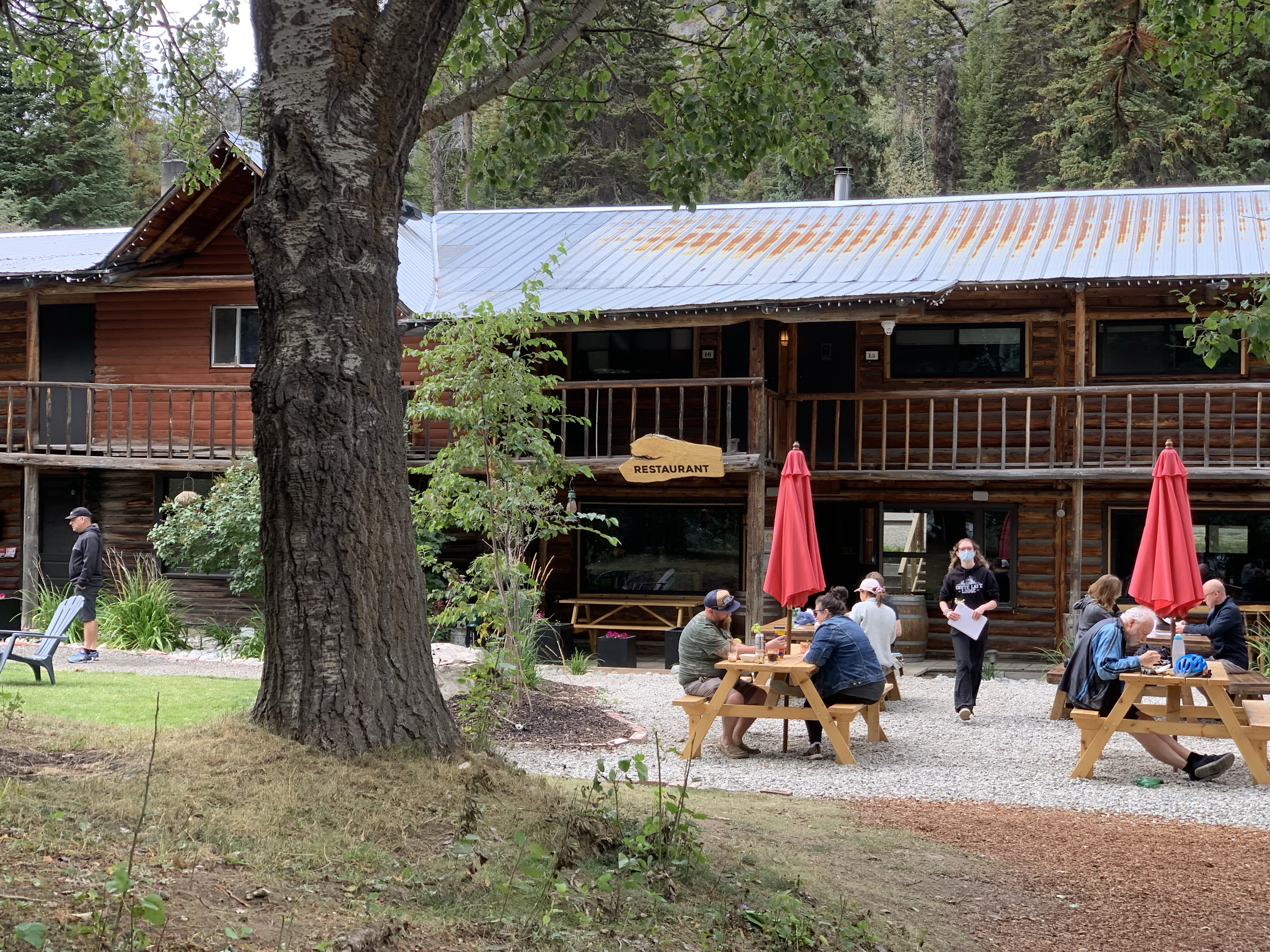
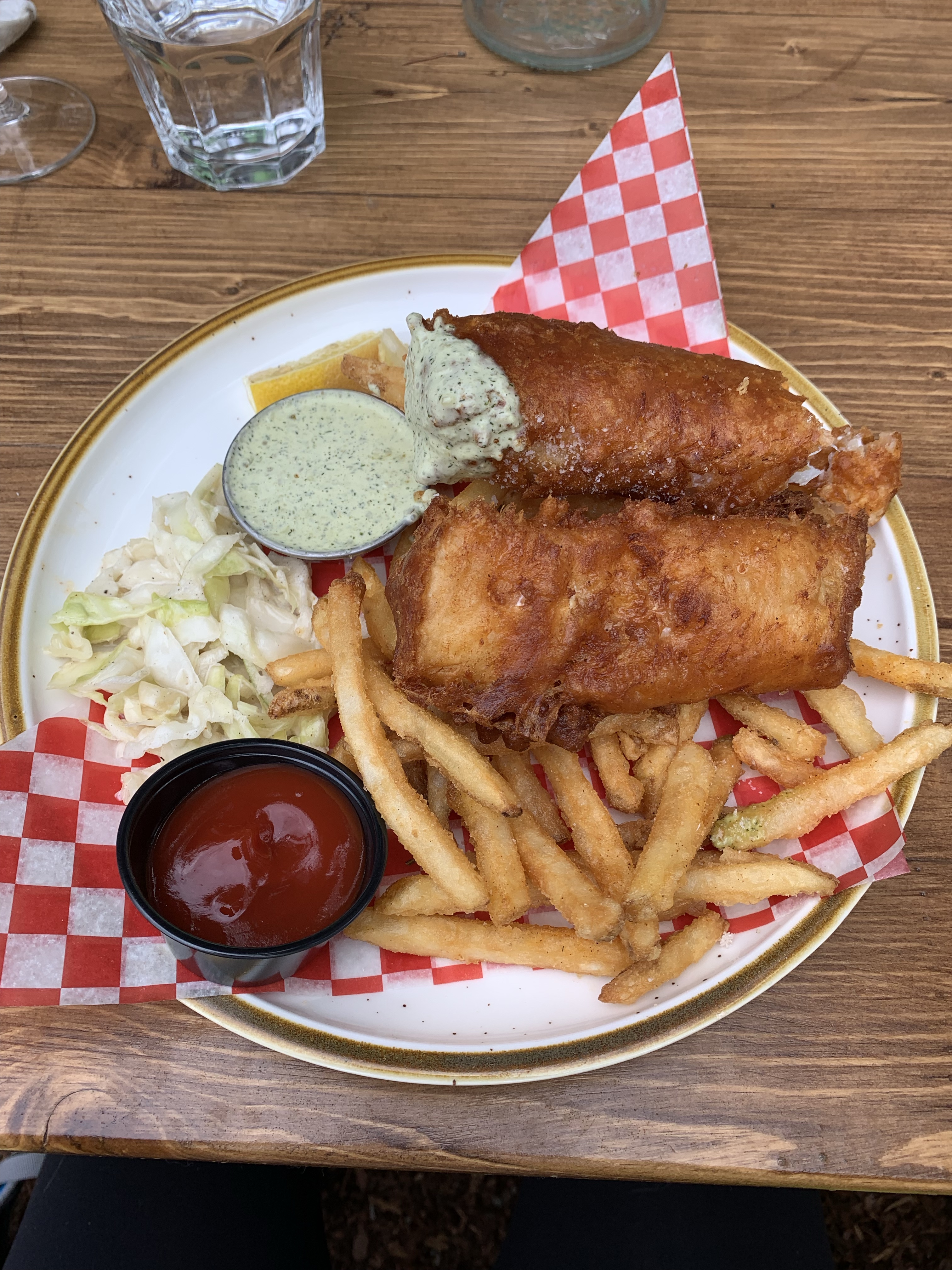
Been dreaming of fish and chips, sooo yummy, highly recommend it. 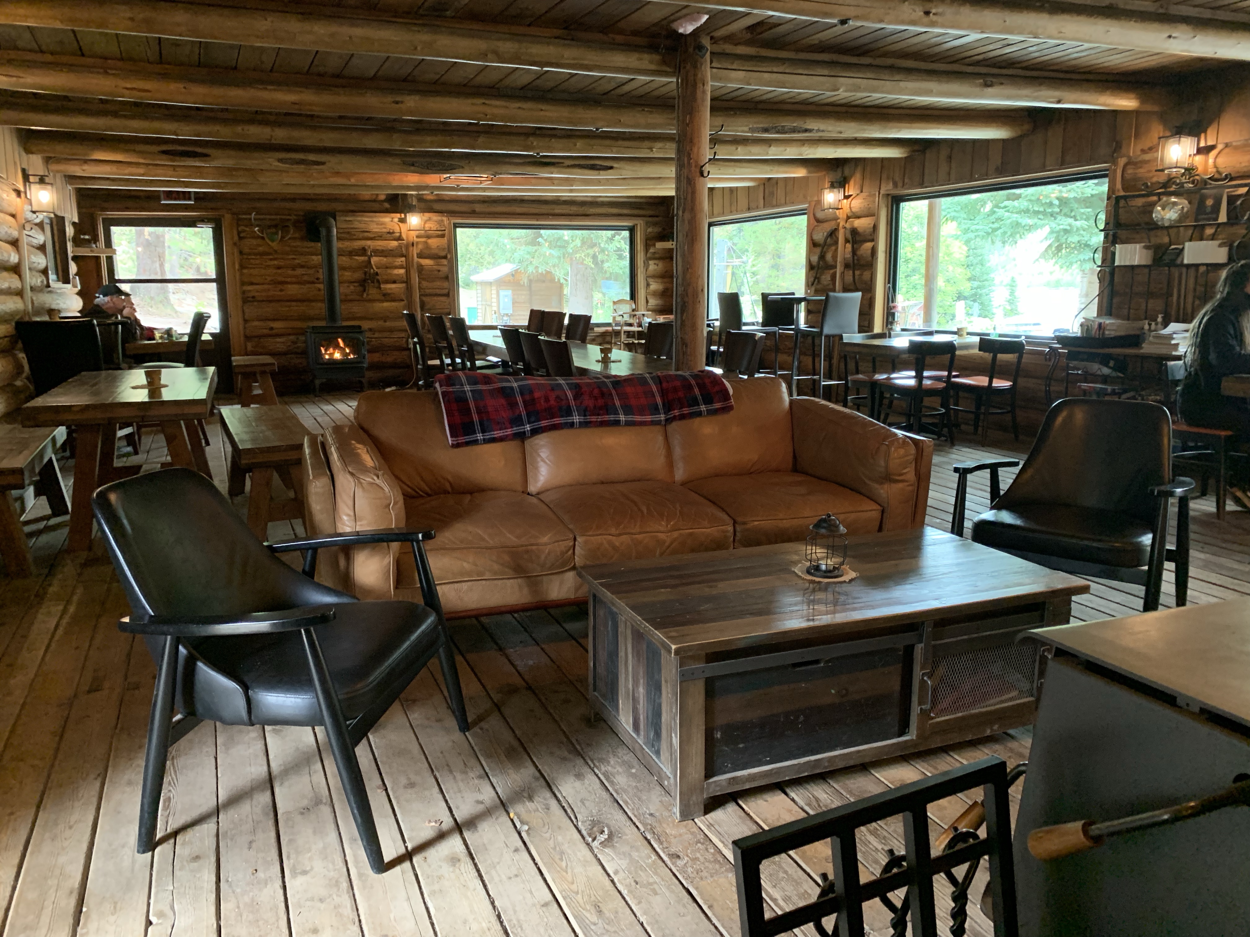

Leaving Chute Lake and starting the 2.2% downhill grade to Penticton. 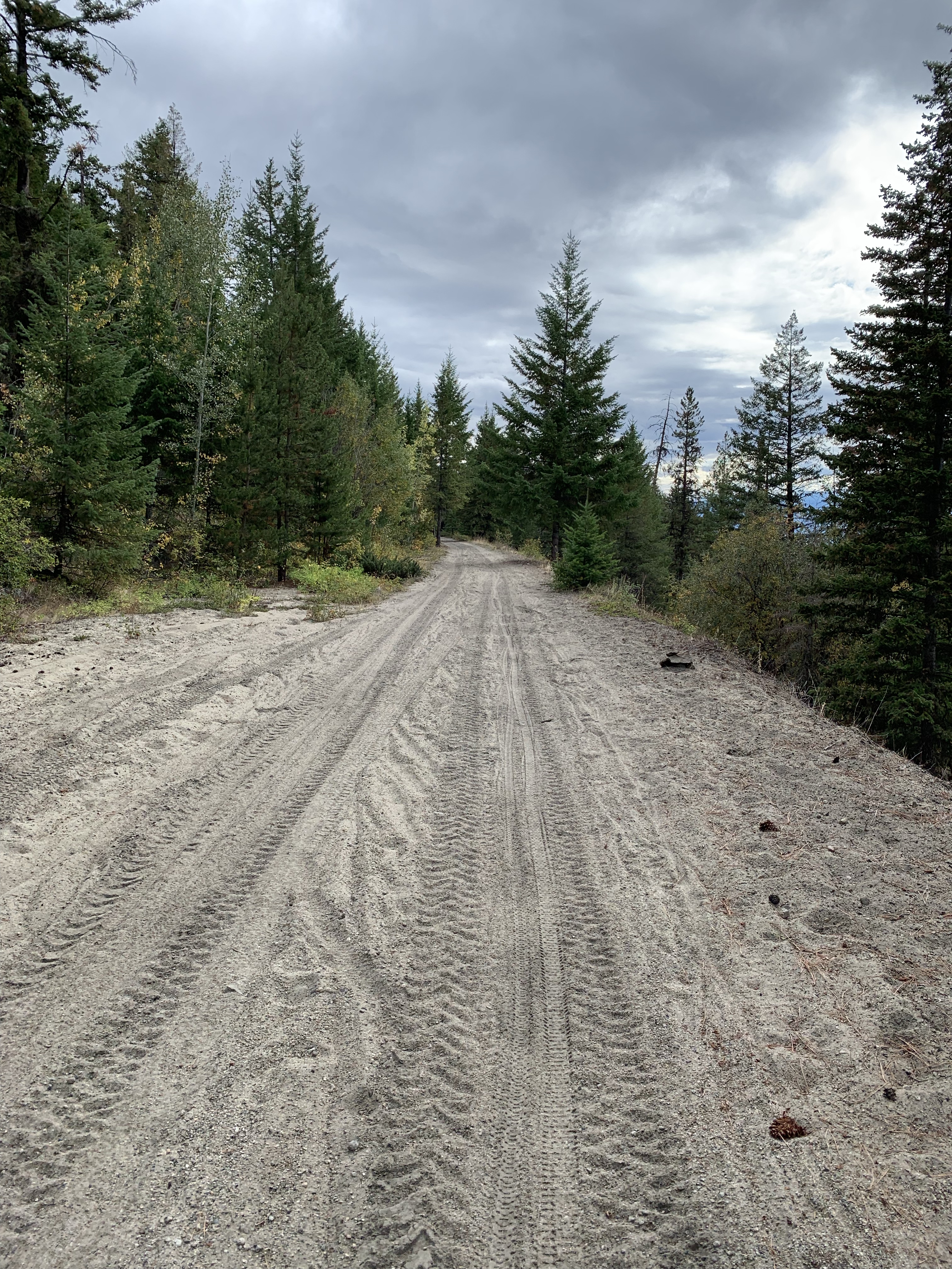
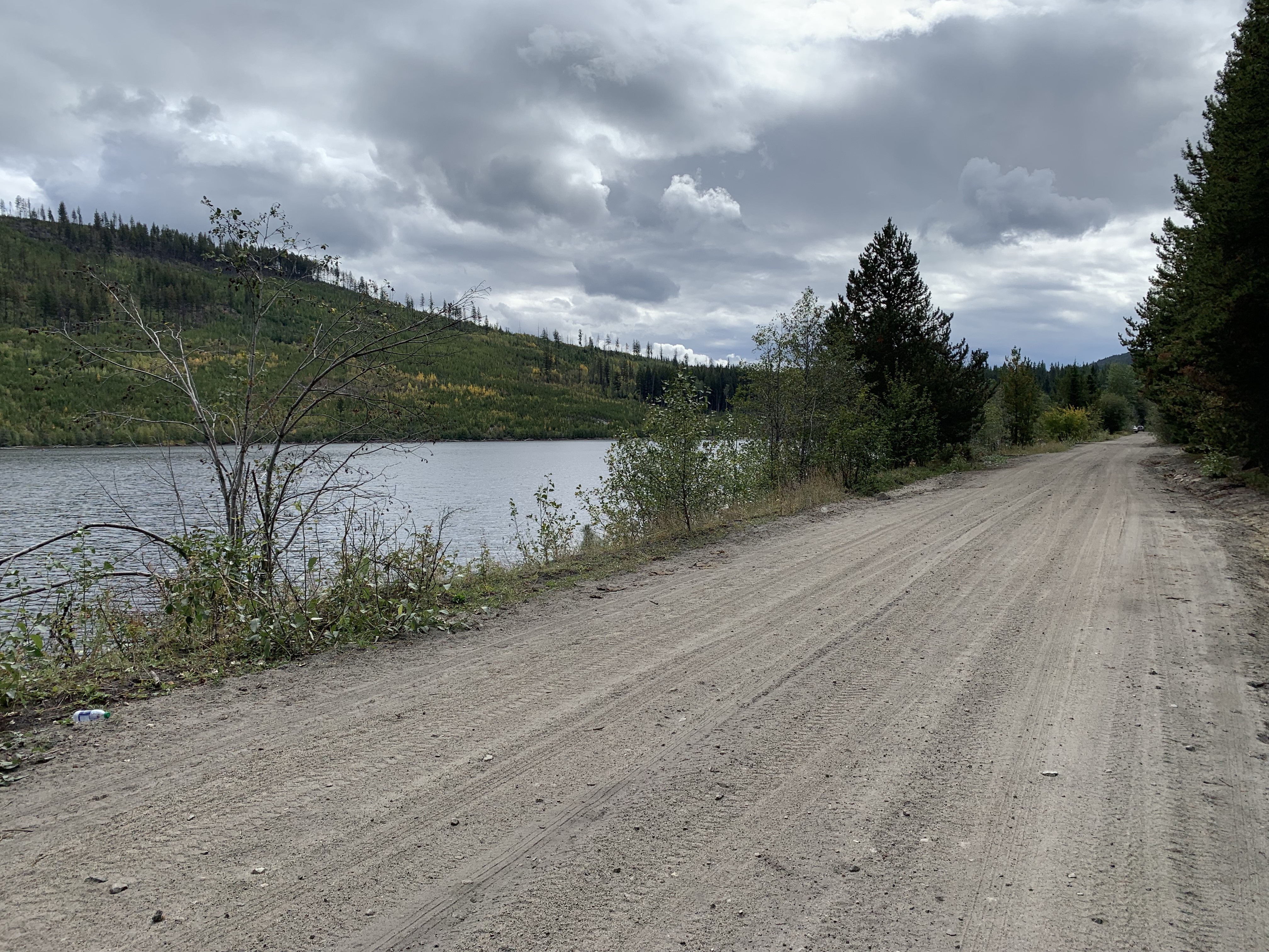
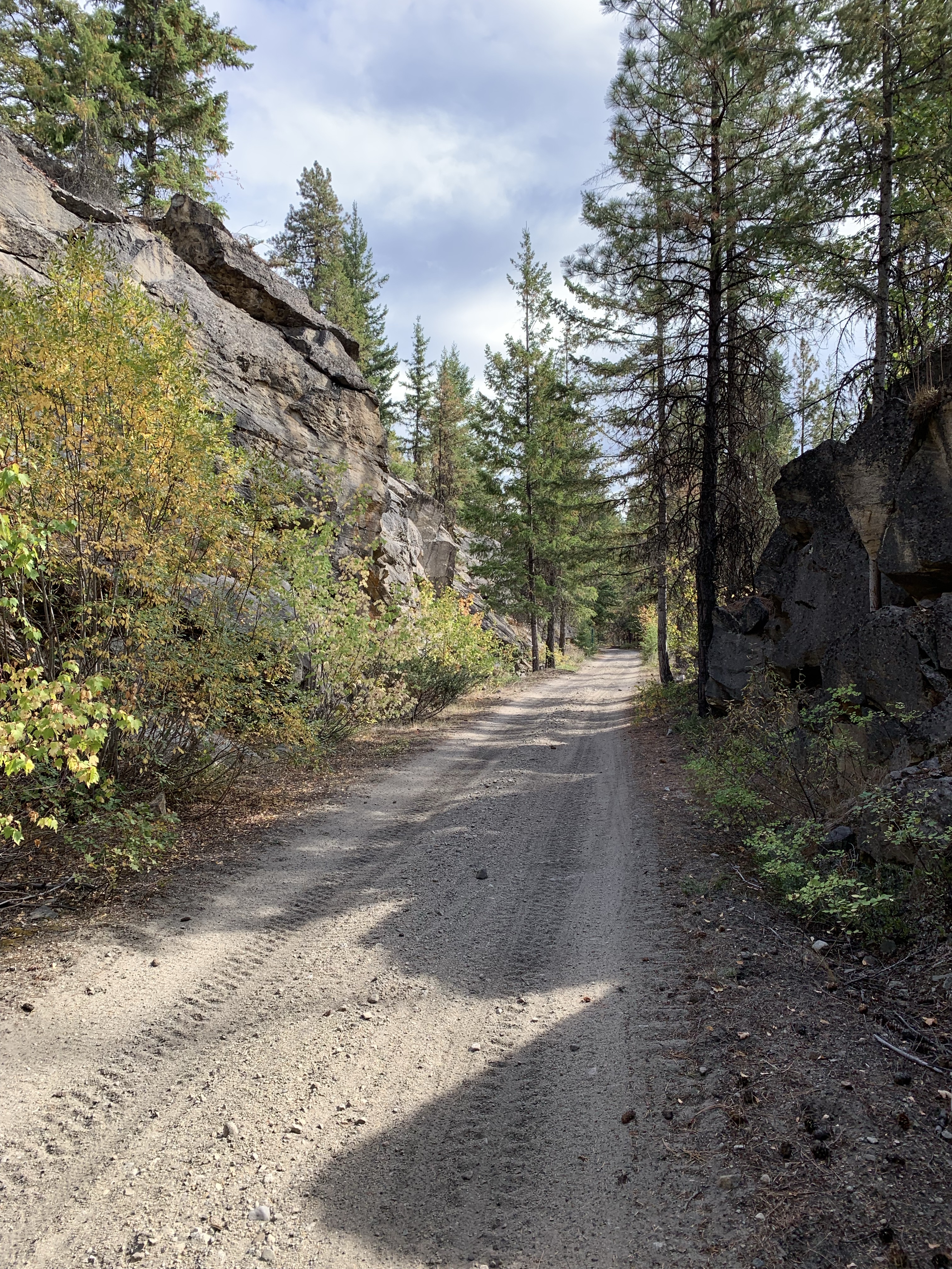
The road started to be very sandy and very difficult to bike on. 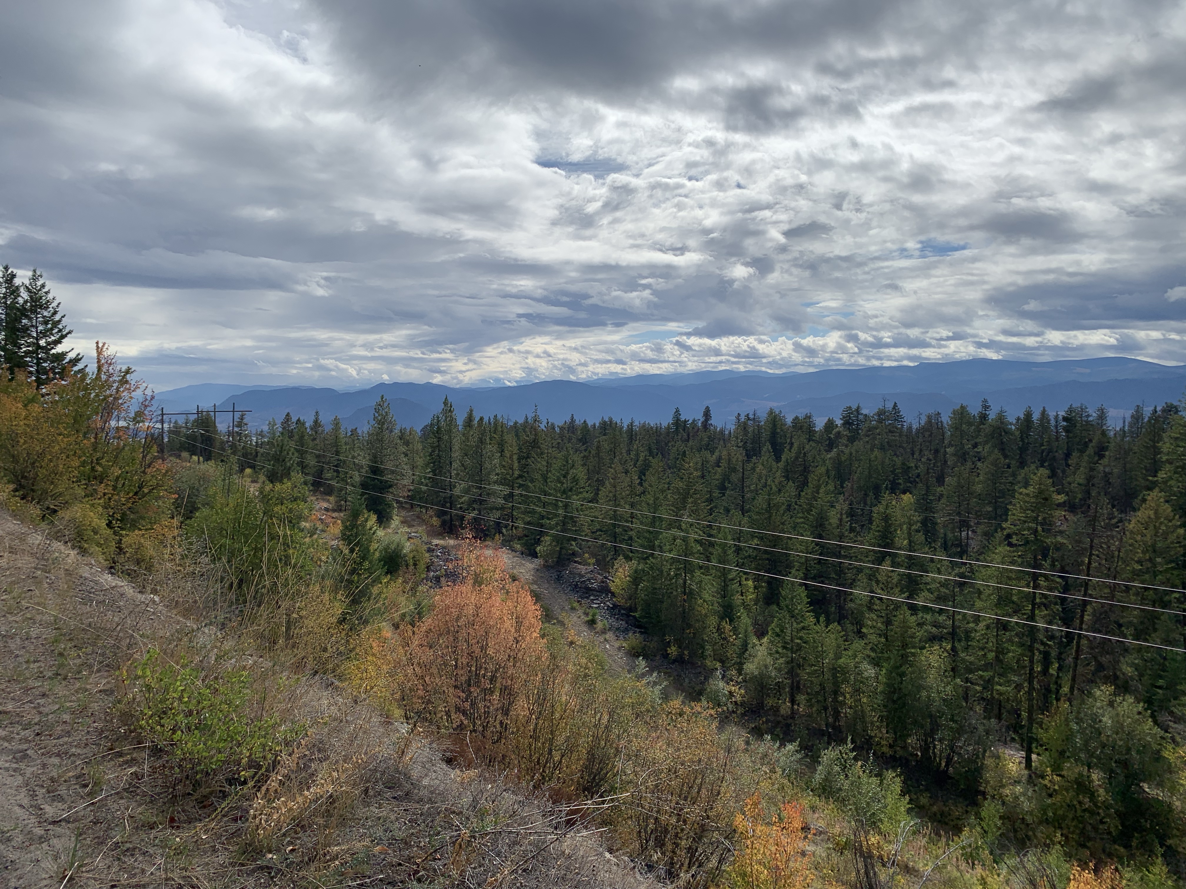

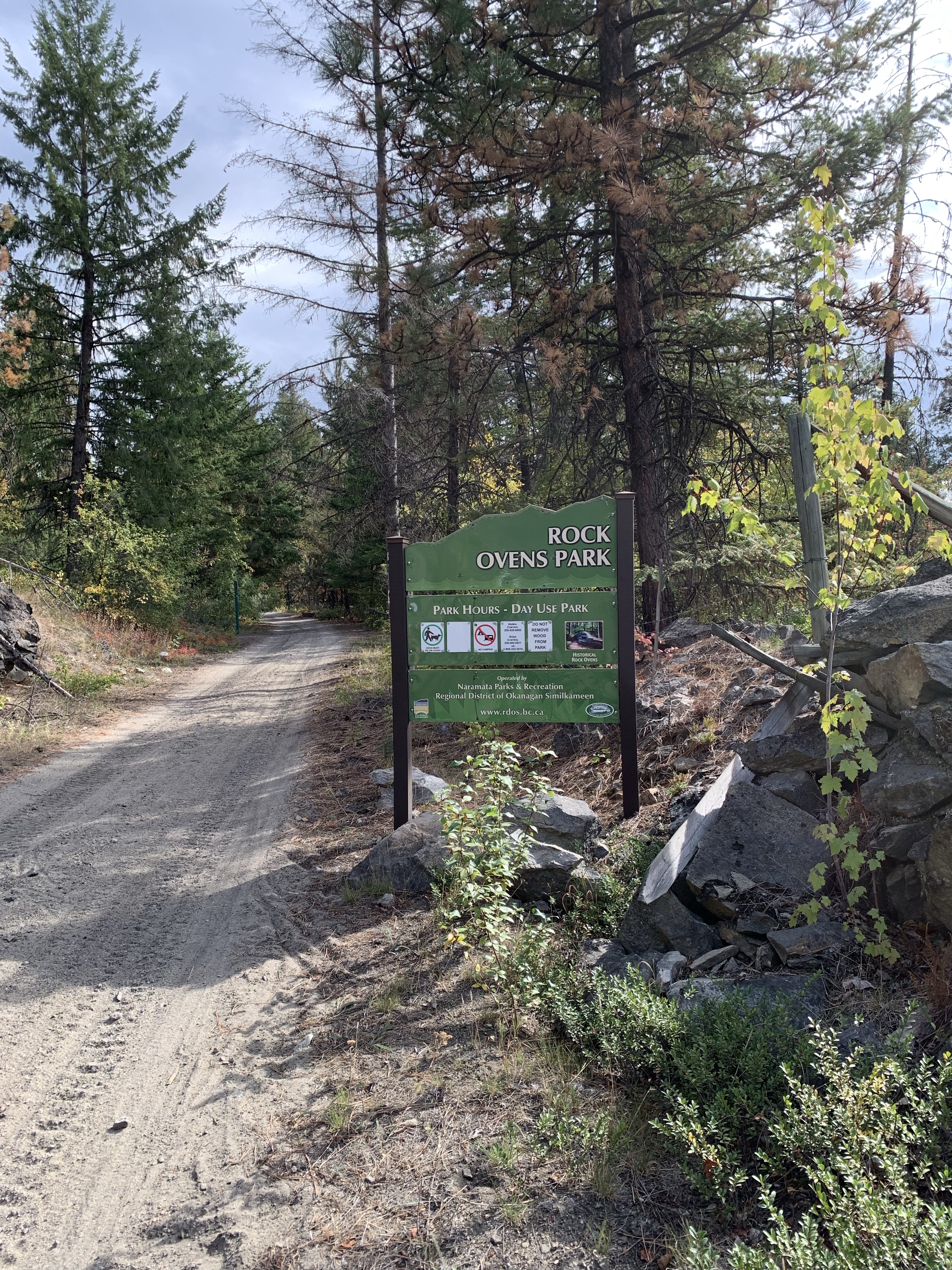
Rock Ovens Park 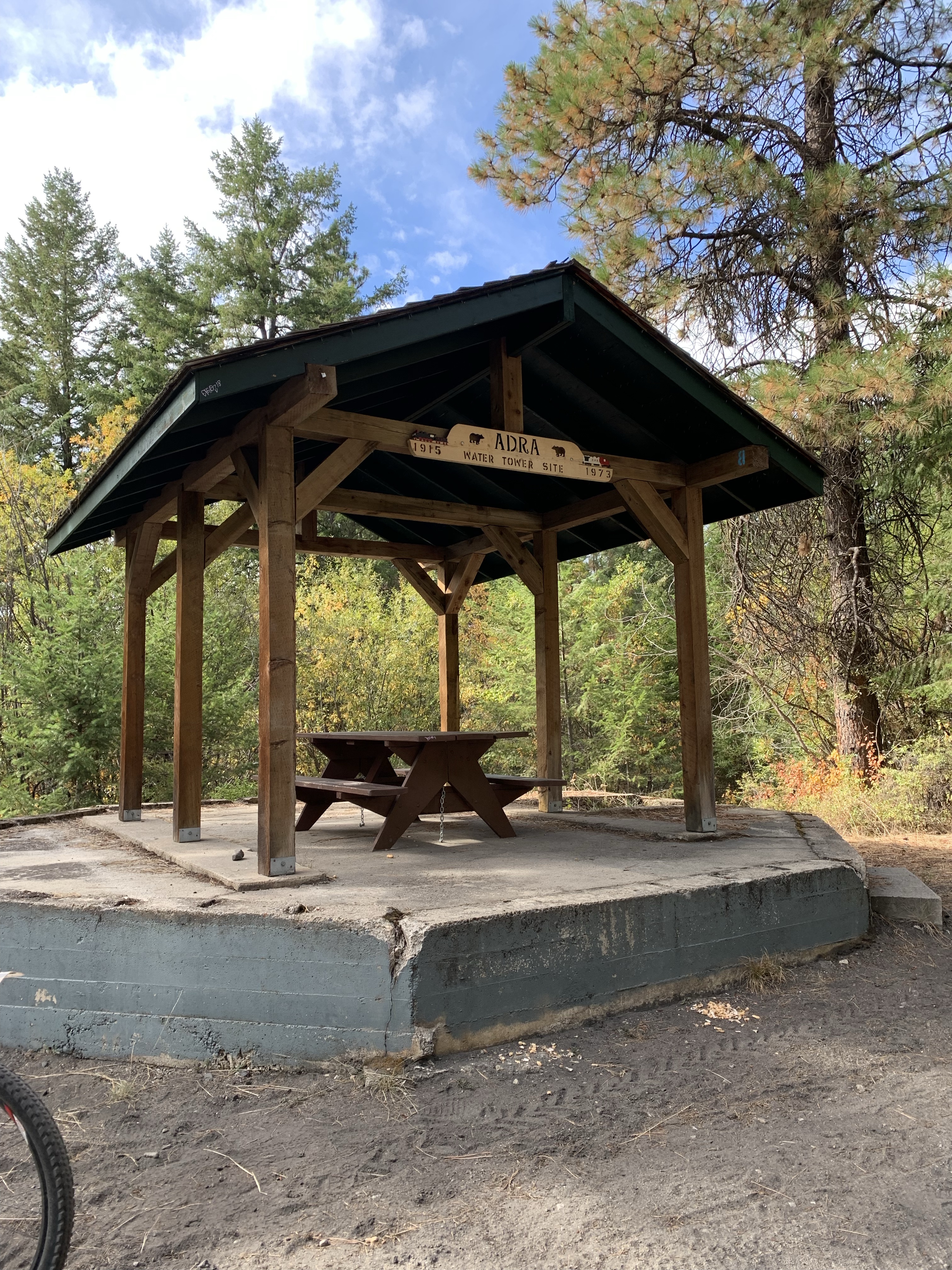
*Adra Station (M113.2; km182.1) named for the seaport on the Mediterranean coast of Spain. Adra was the site of a steam locomotive water tank. Picnic table sits on the original water tank foundation. 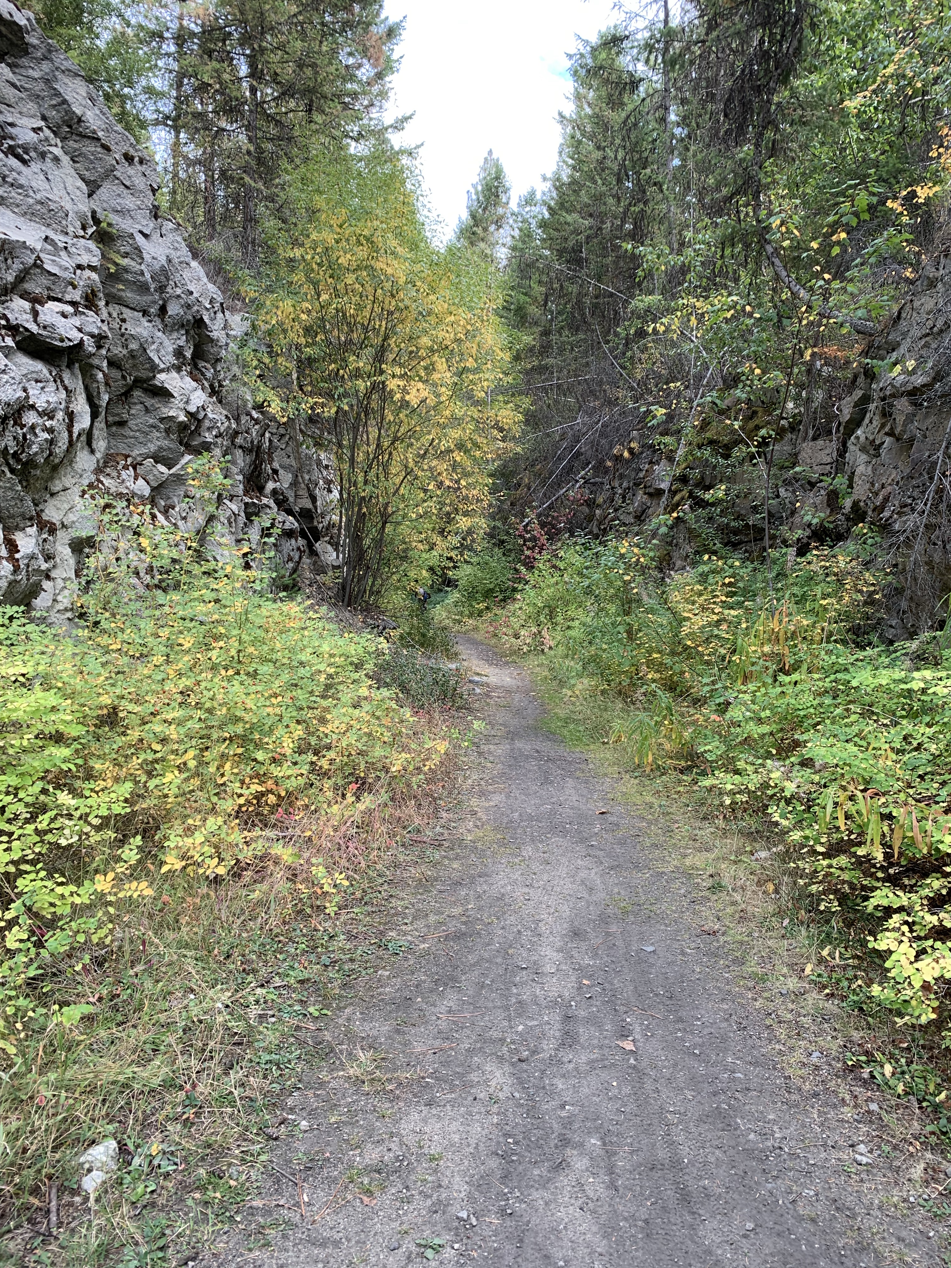
*Horseshoe Tunnel also known as the Big Tunnel (M113.9; km183.3) 1604 foot long, this curved bore forms one end of the large loop which the railway makes from Glenfir. The loop permitted the line to ascend from Penticton to Chute Lake within a 2.2% gradient. A bake oven from the tunnel construction camp may be found nearby. 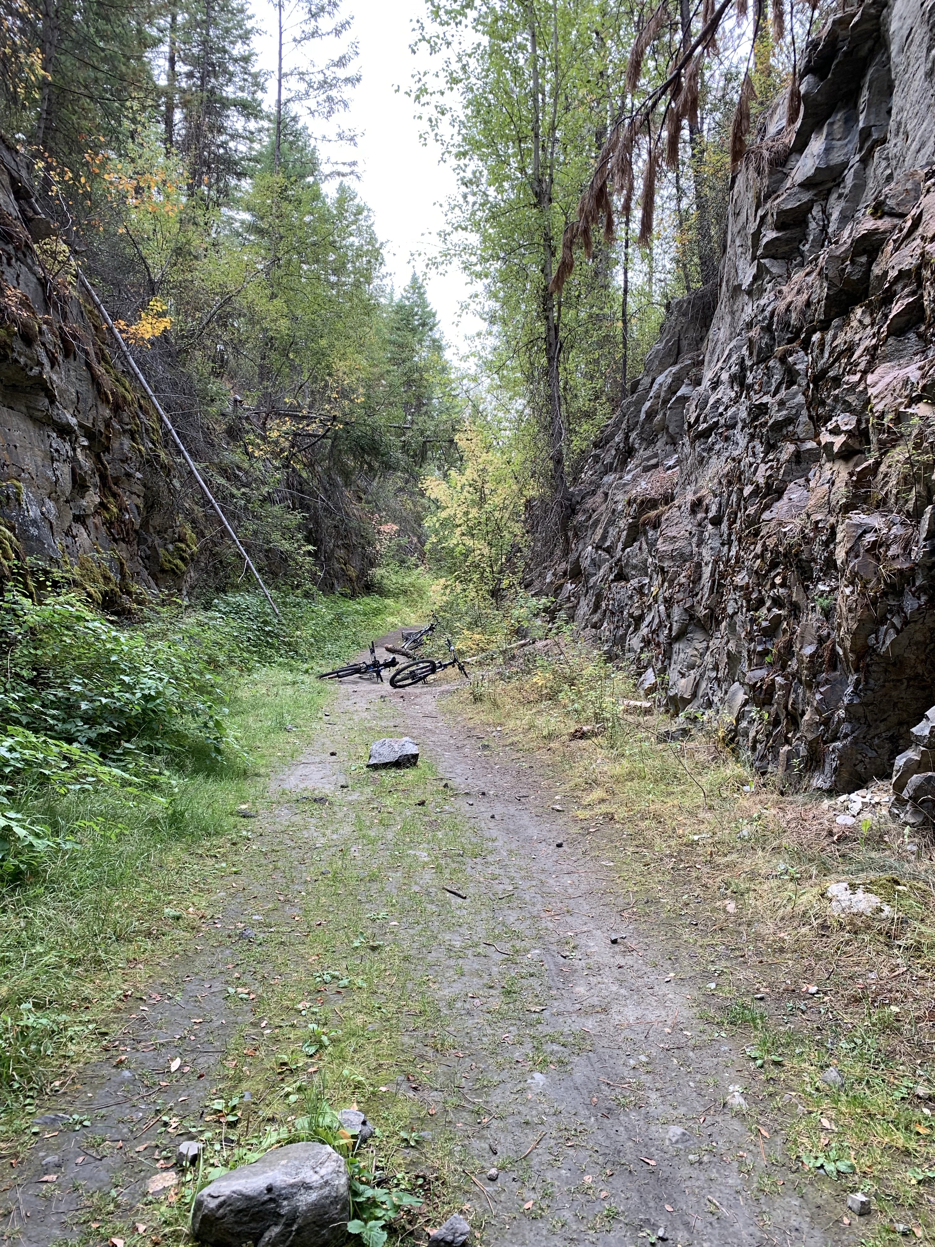
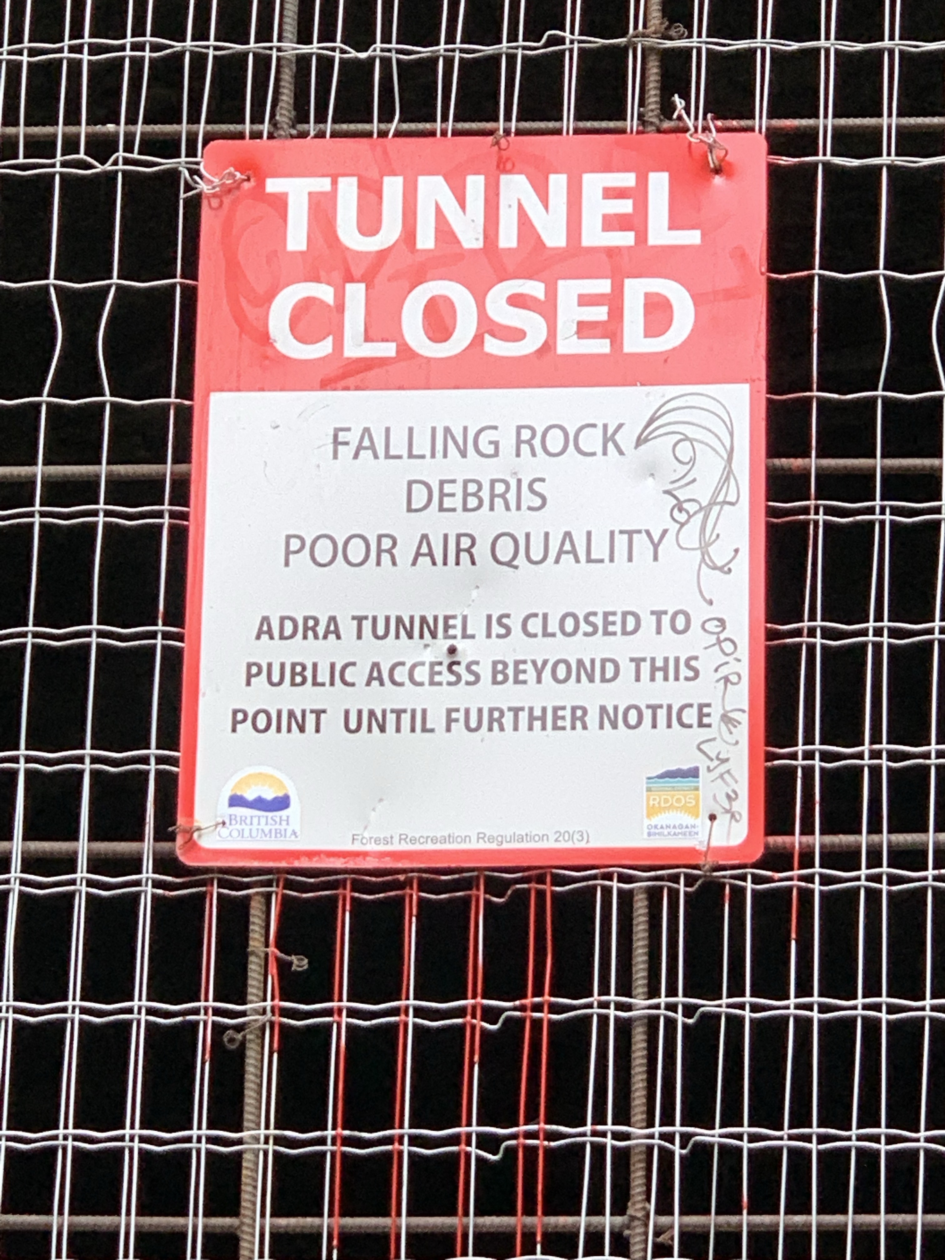
East portal of Adra Tunnel 
Stevo was here! 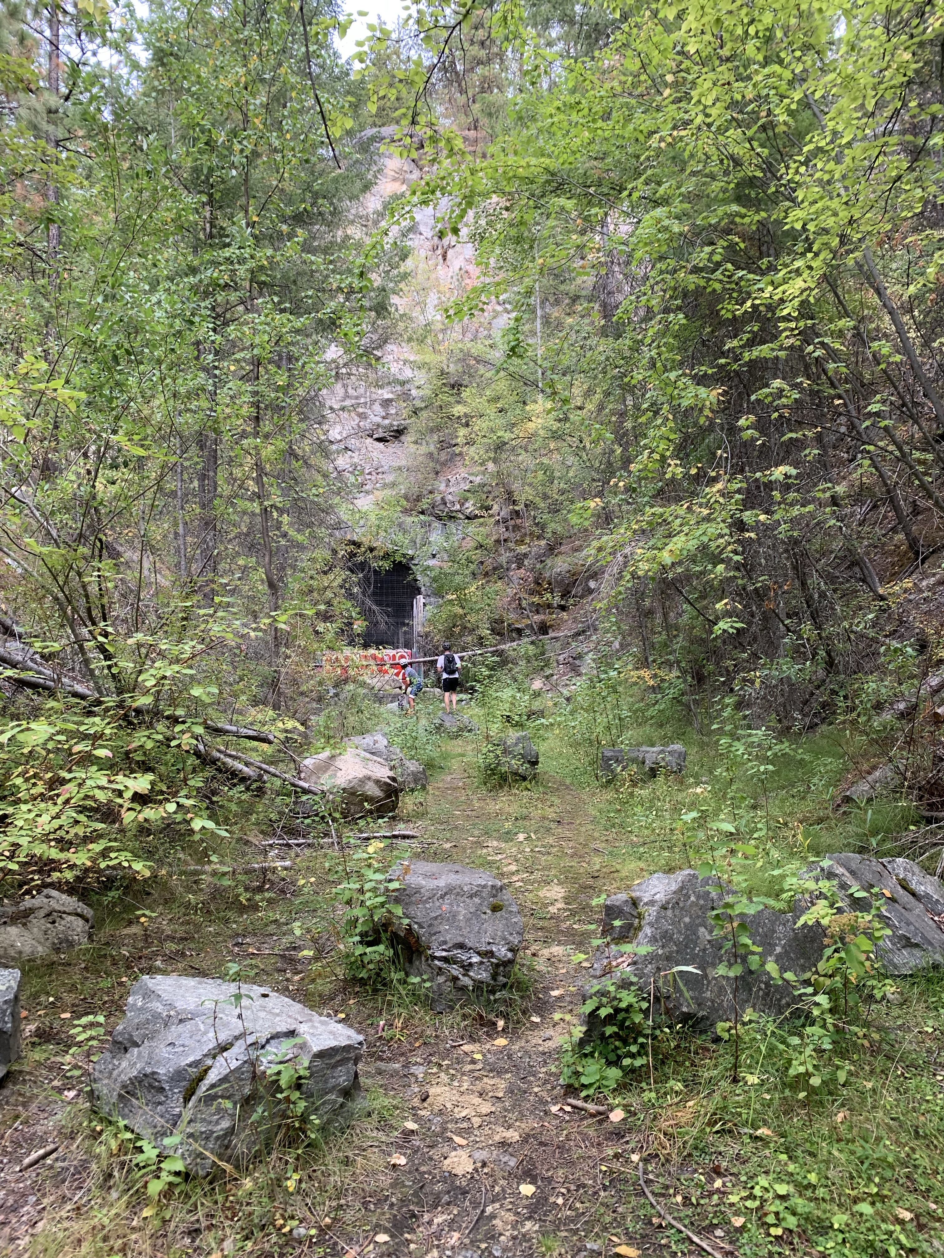
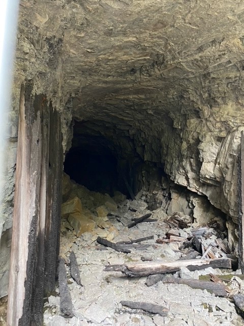
This is the other side of Adra Tunnel (west portal), this side has caved in. 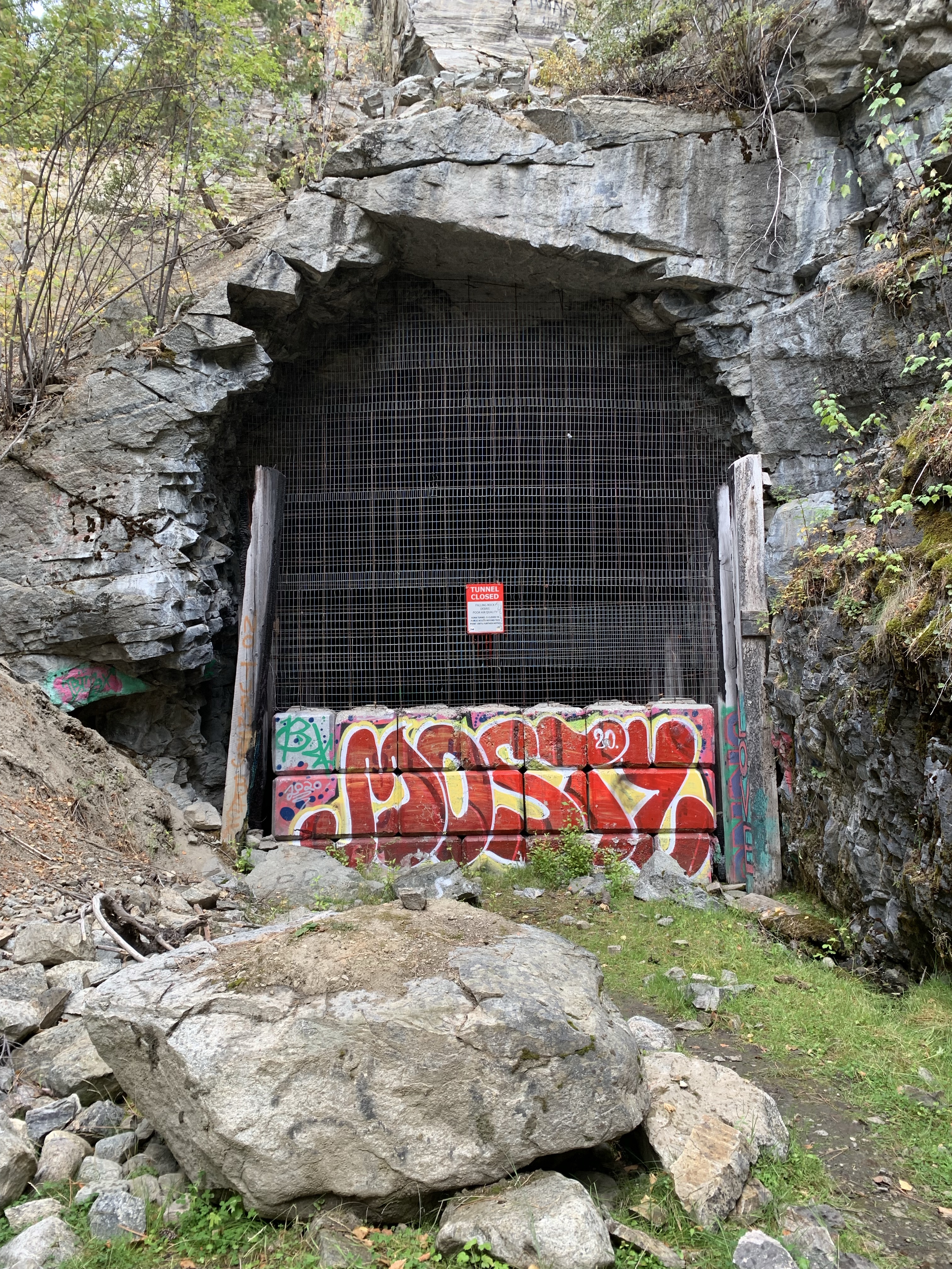
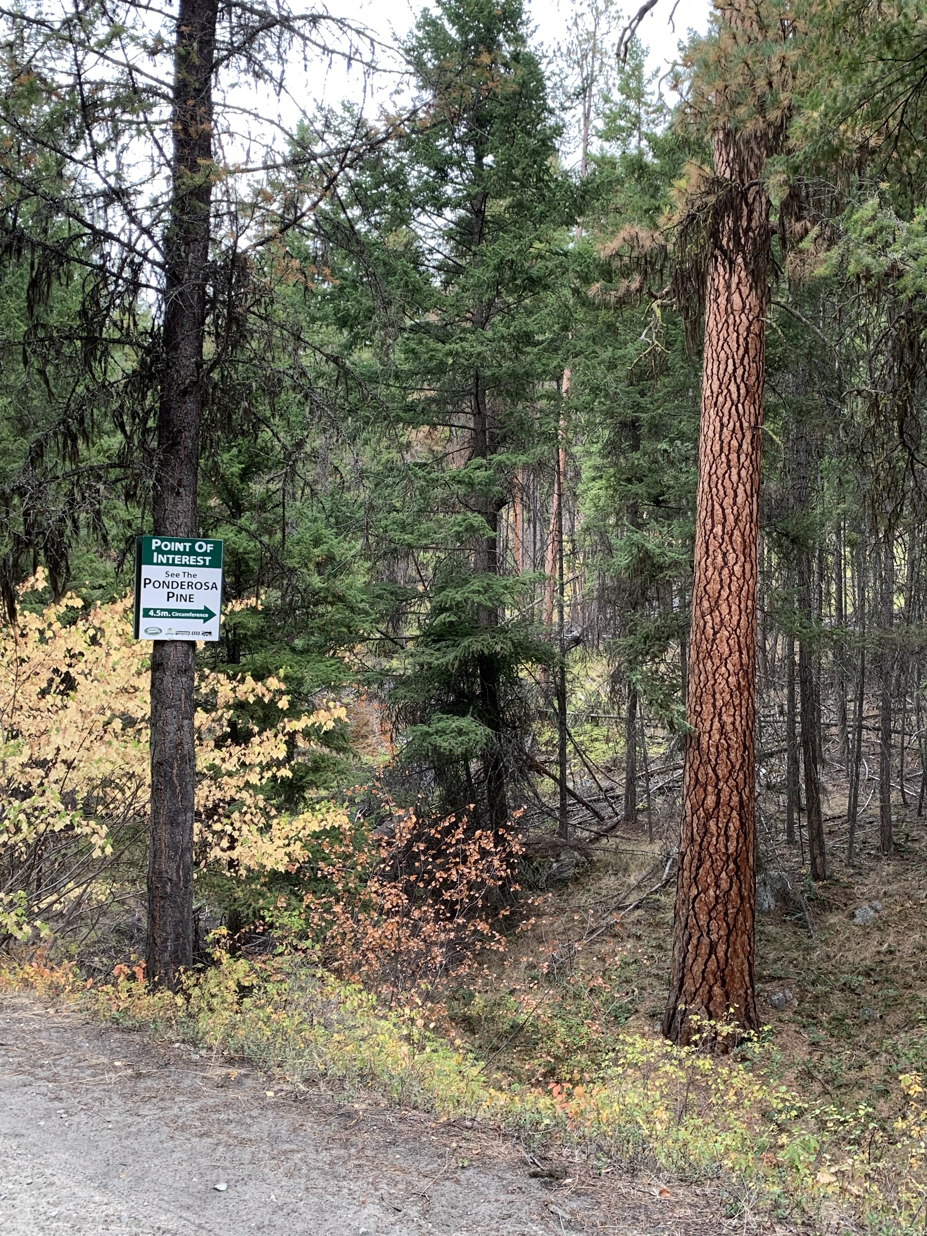
Ponderosa Pine (point of interest) 
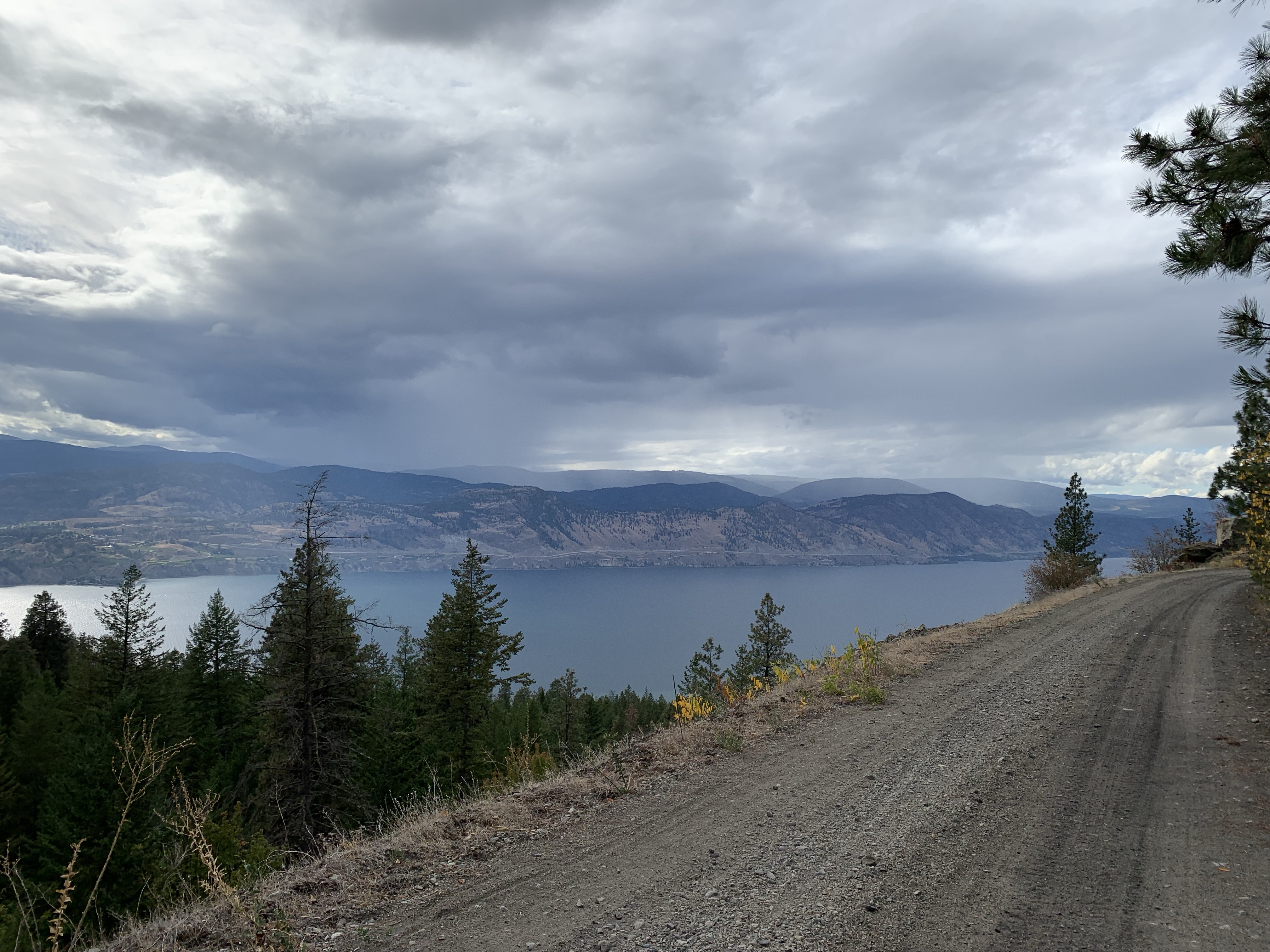
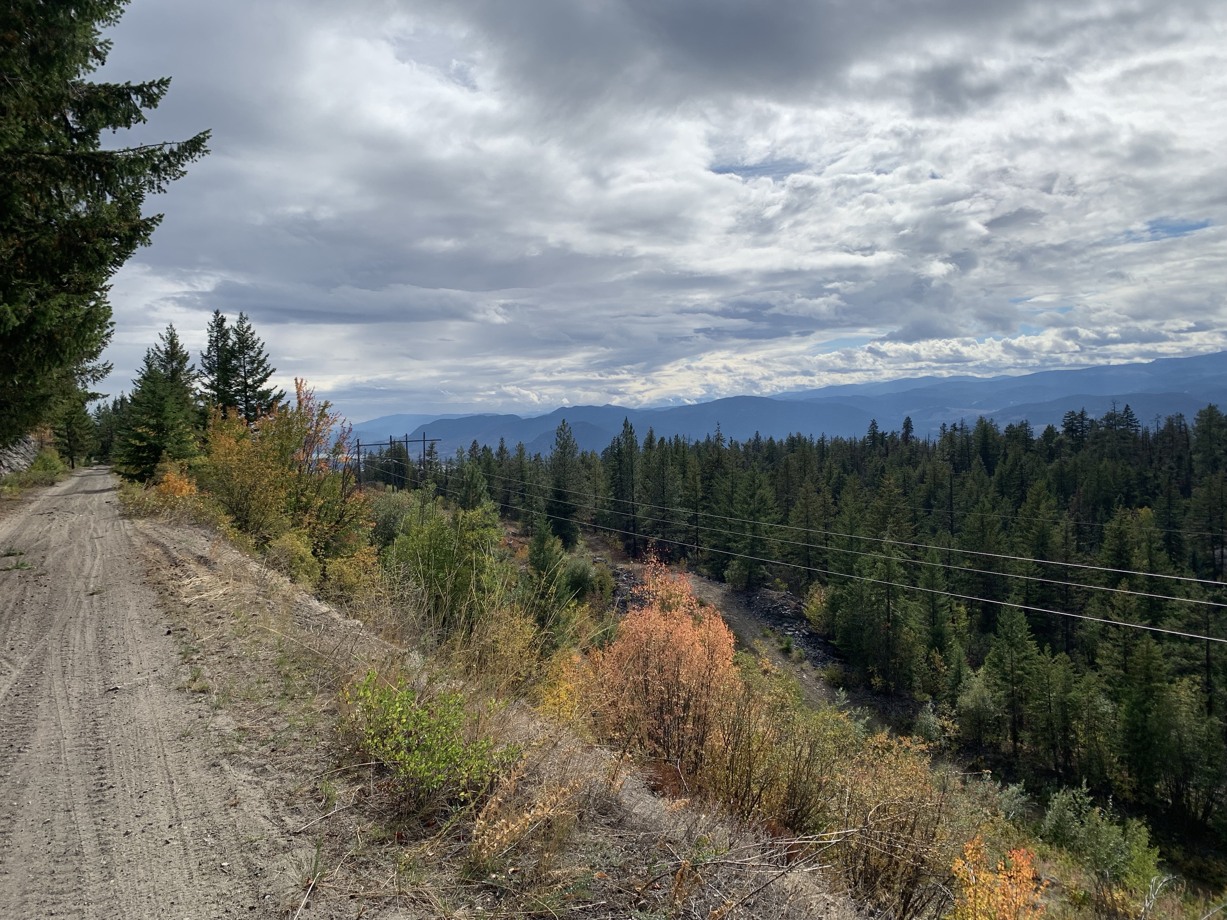
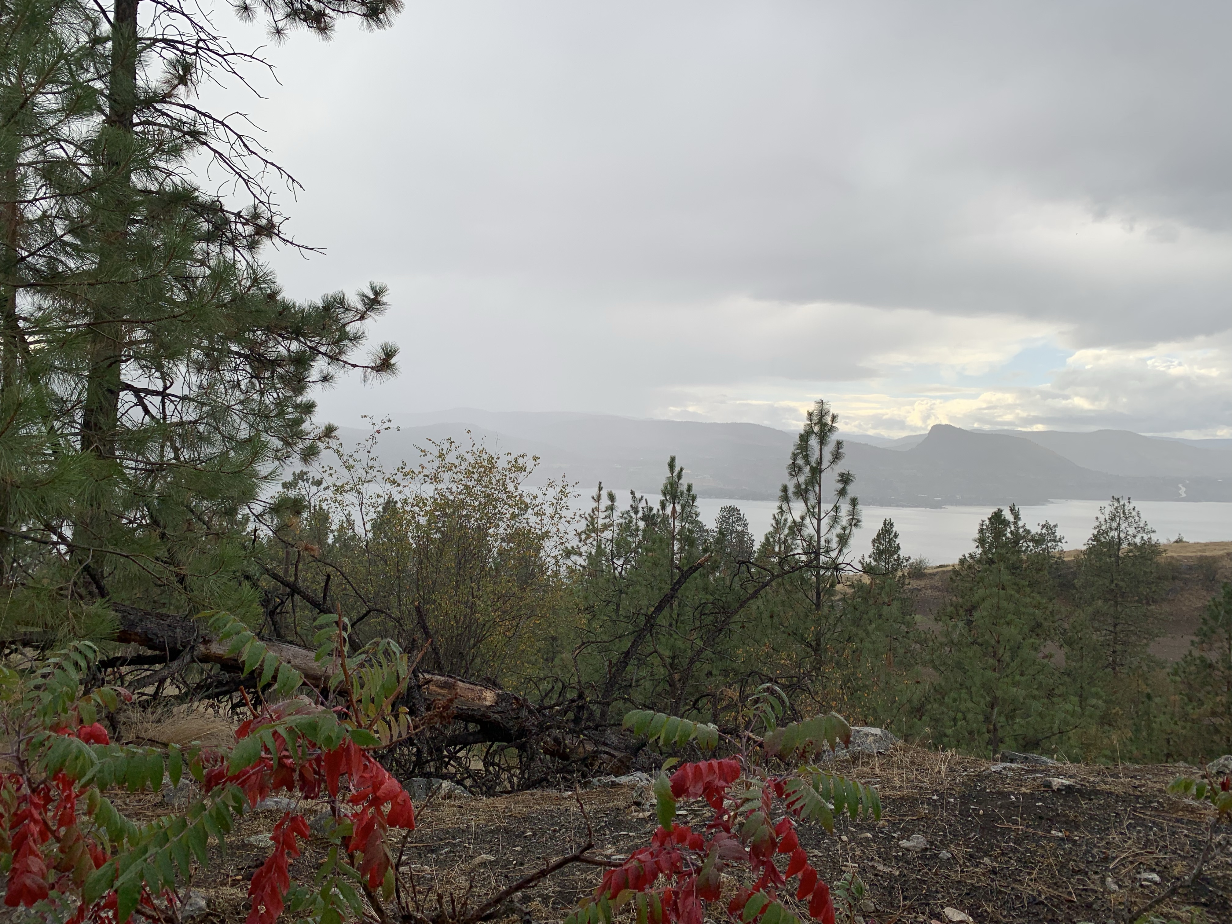
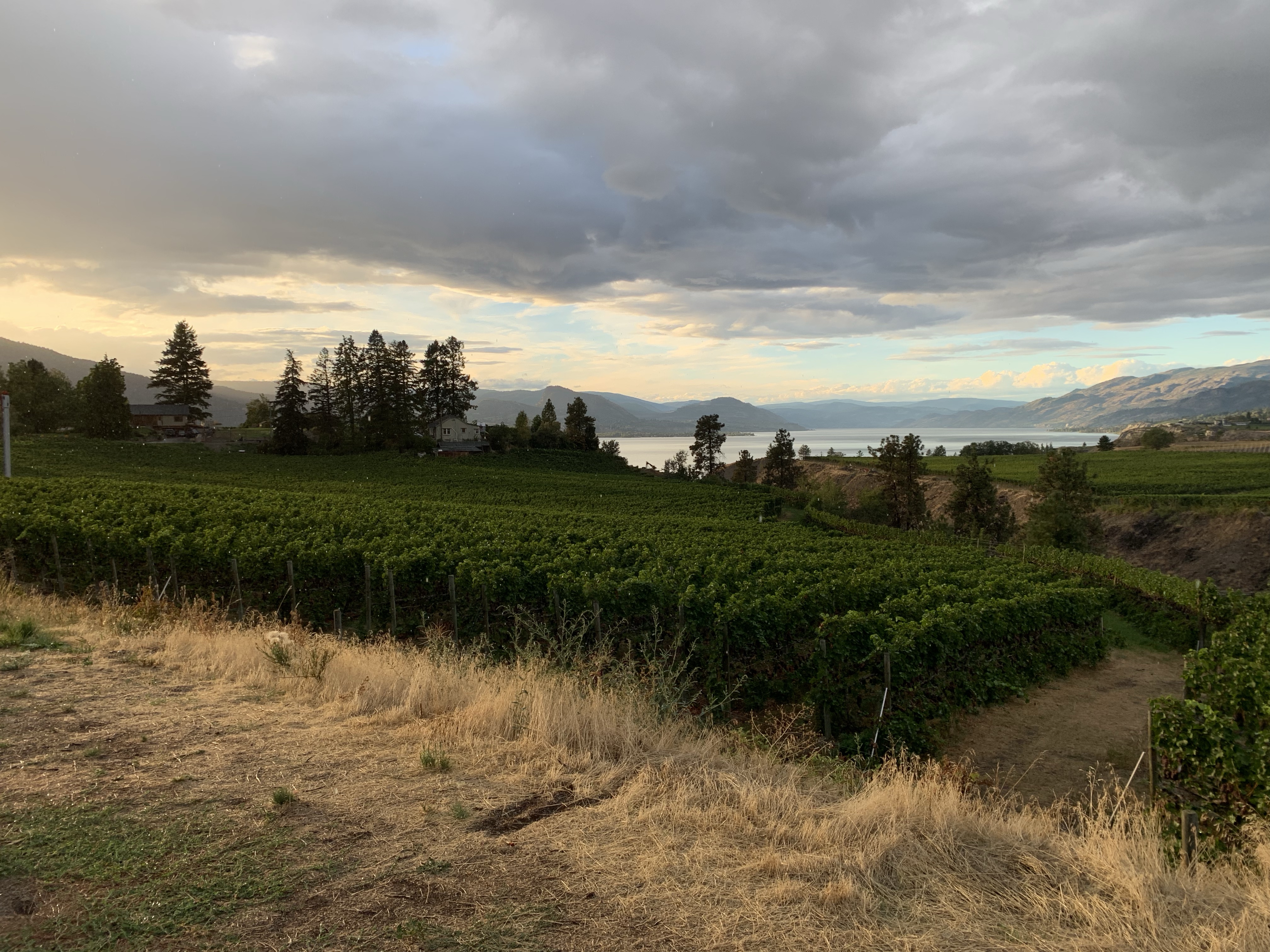
Looking across Okanagan Lake towards Peachland. 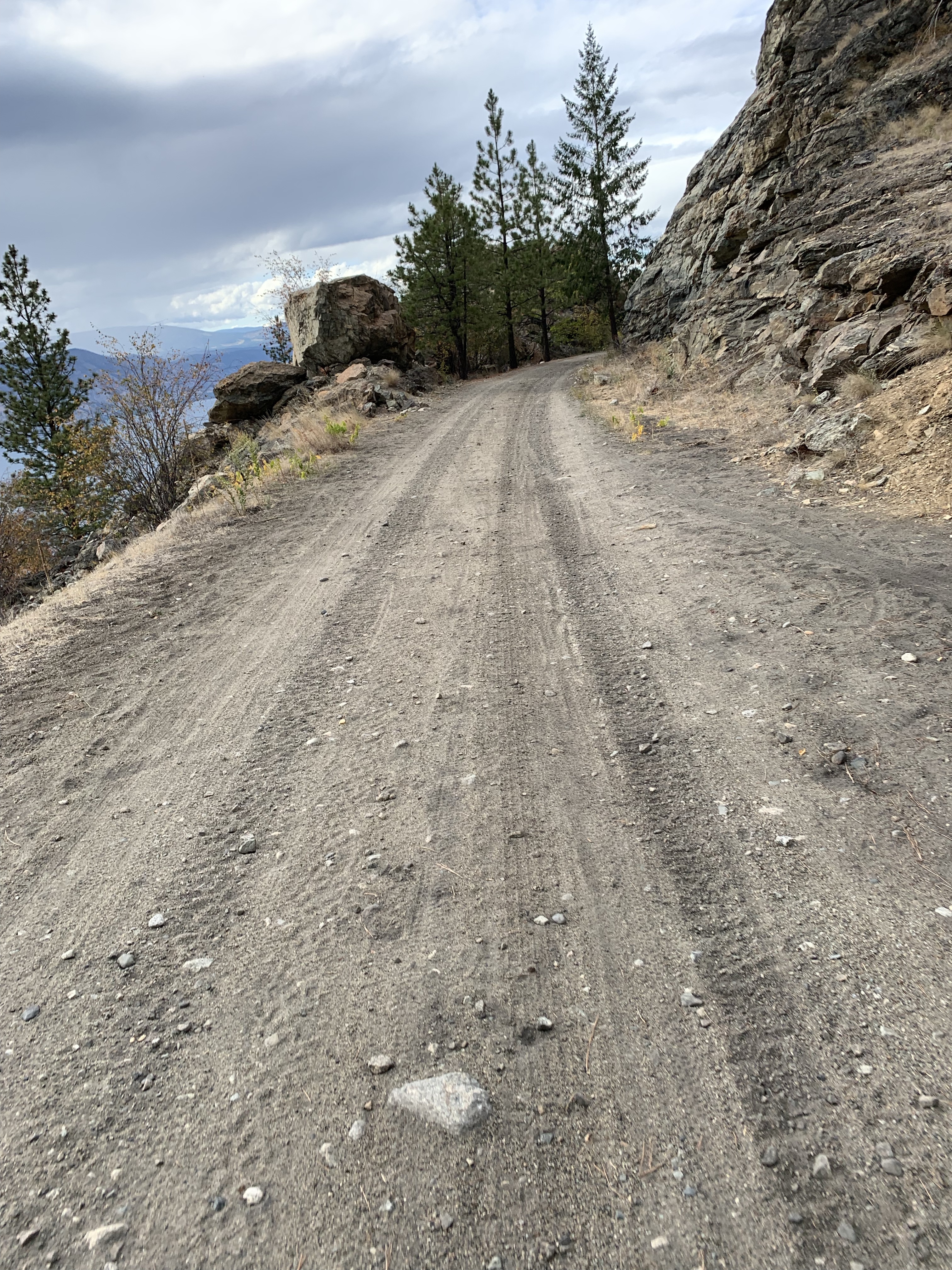
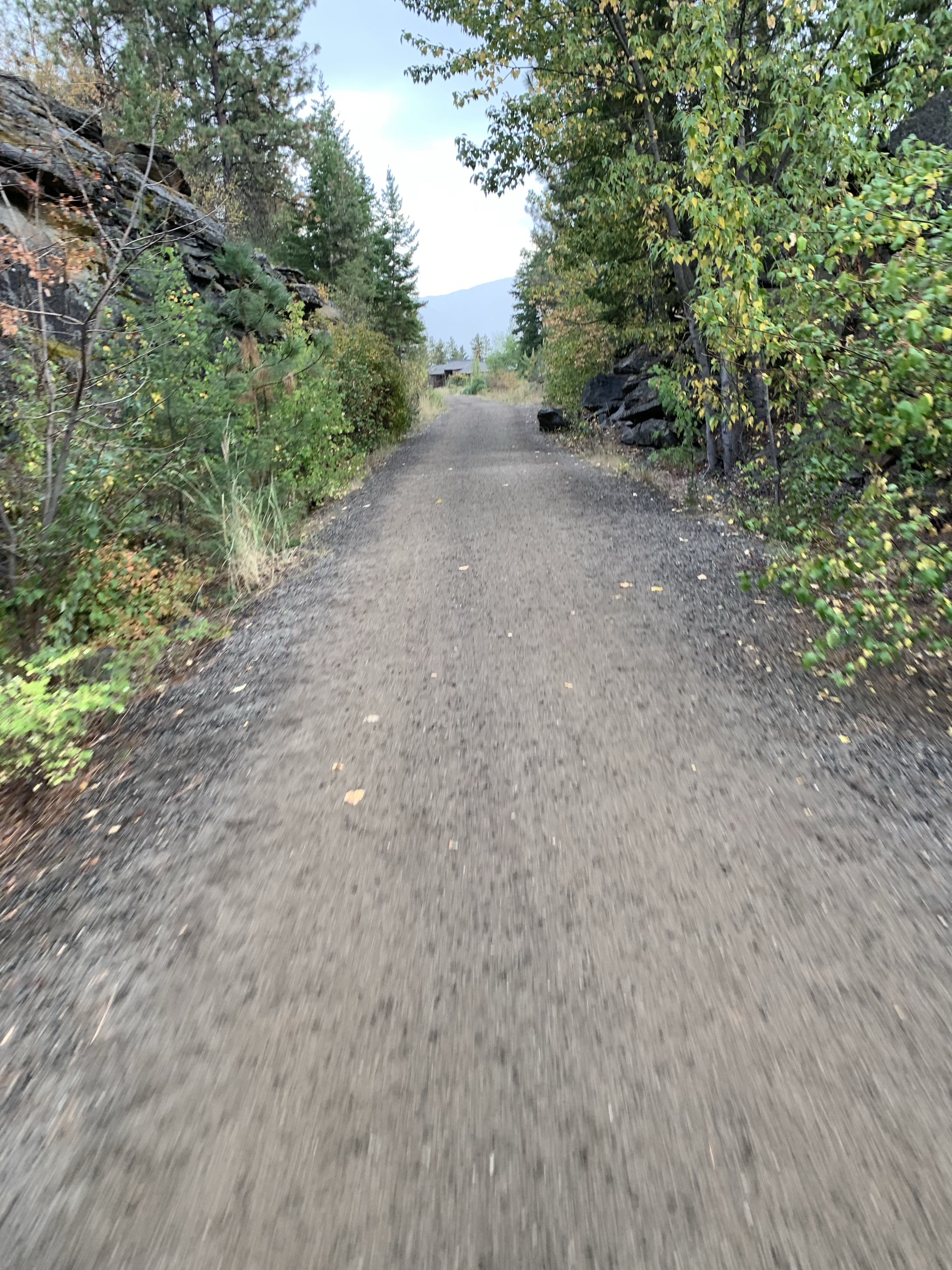
The road finally turned to hard packed gravel as we approached Naramatta and so much easy to ride on. 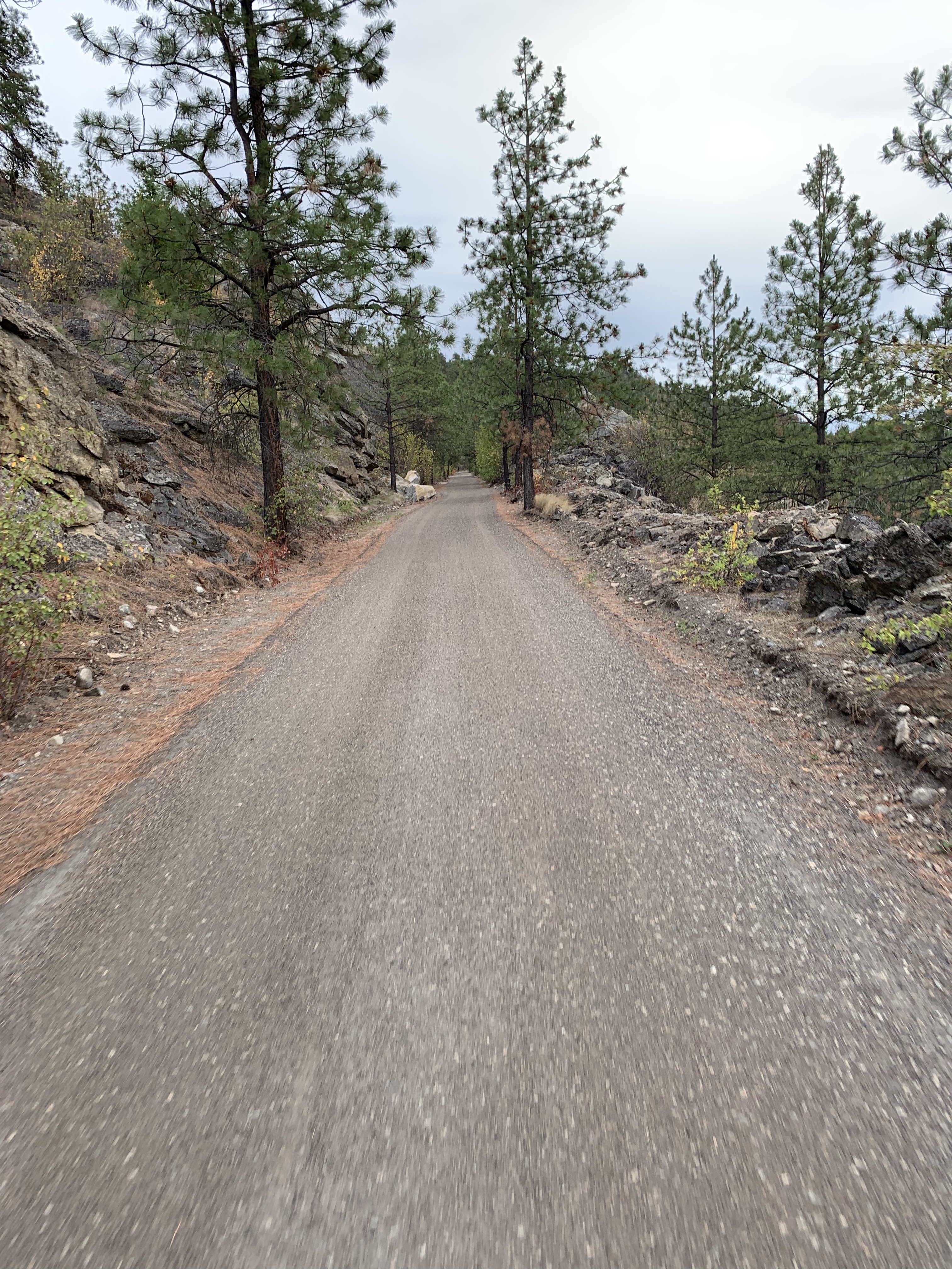
Approaching Naramata. 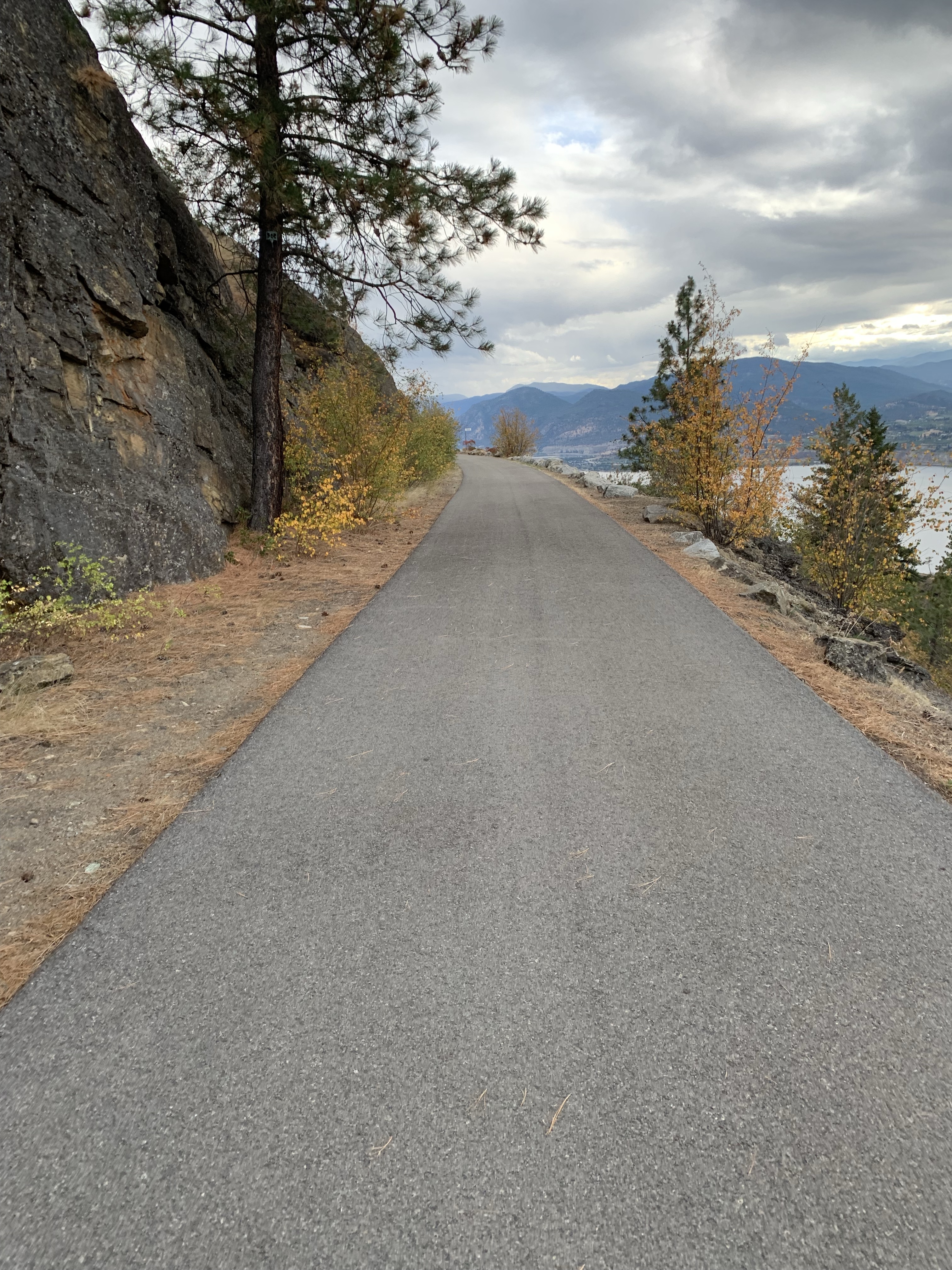
And then there was pavement. 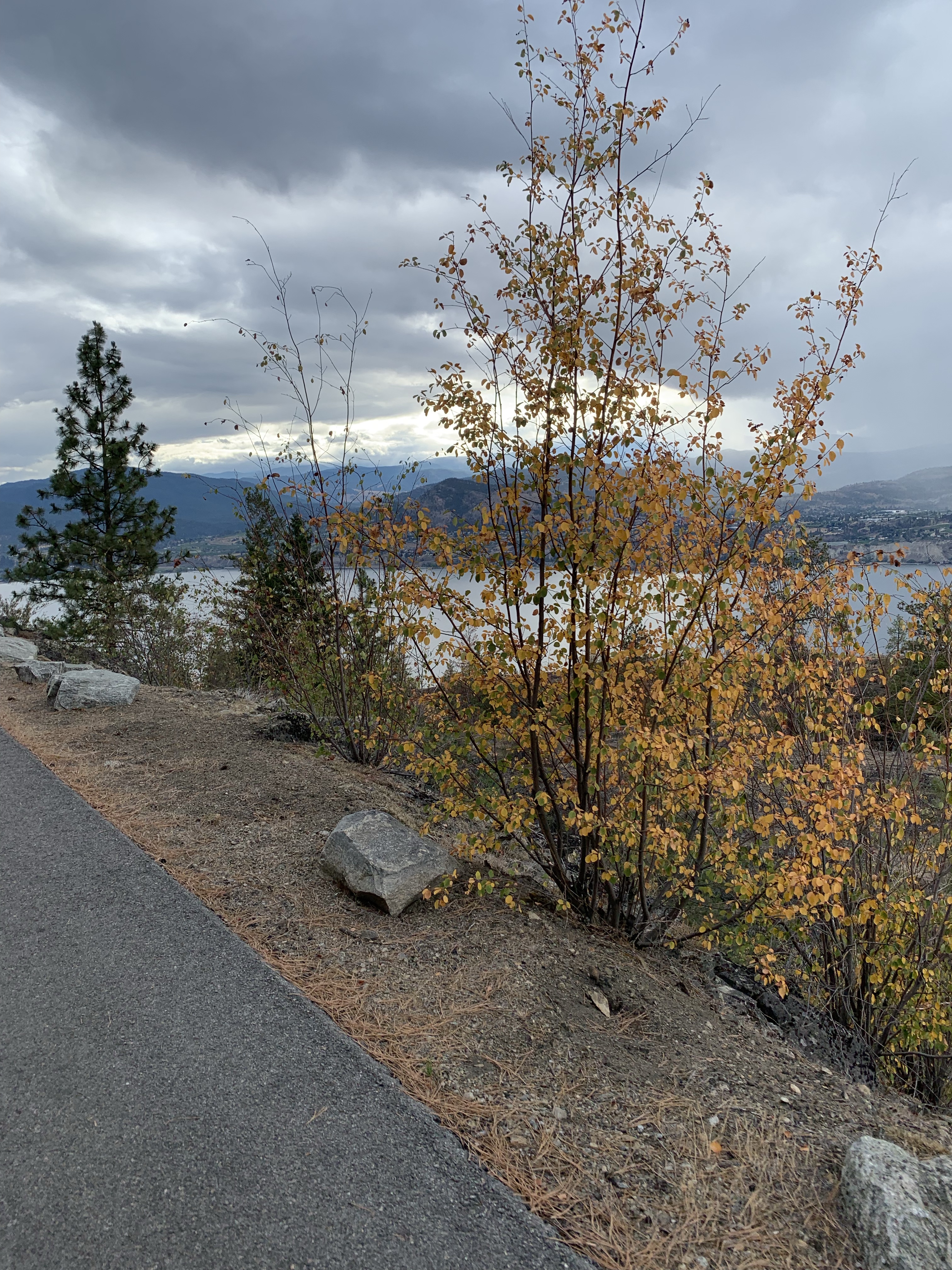
Little Tunnel (M122.0; km196.3) 162 feet long. 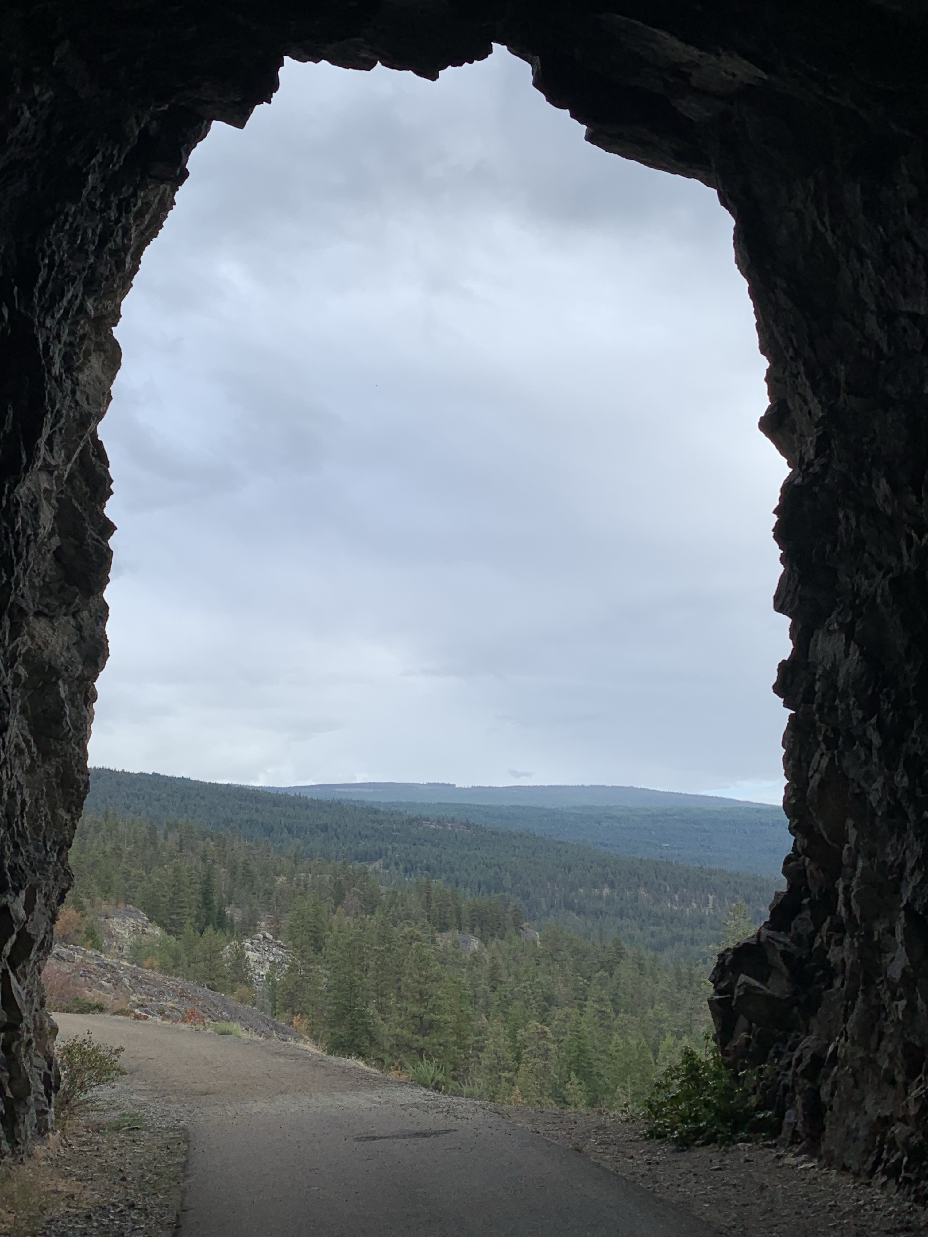


We had quite a bit of rain as we got closer to Pentiction. 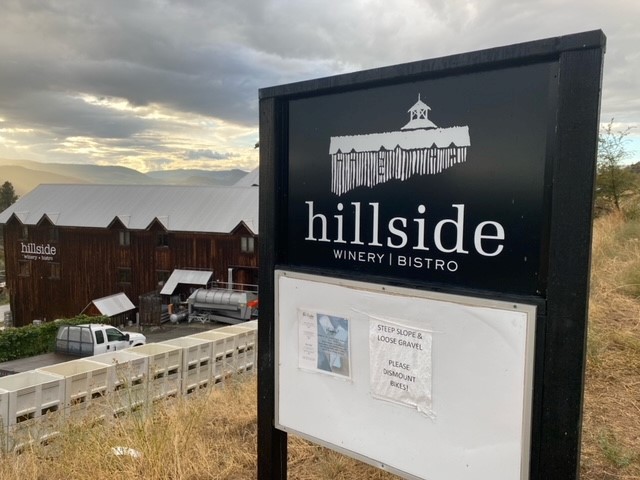
Hillside Winery, great stop to get warm and have a glass of wine. 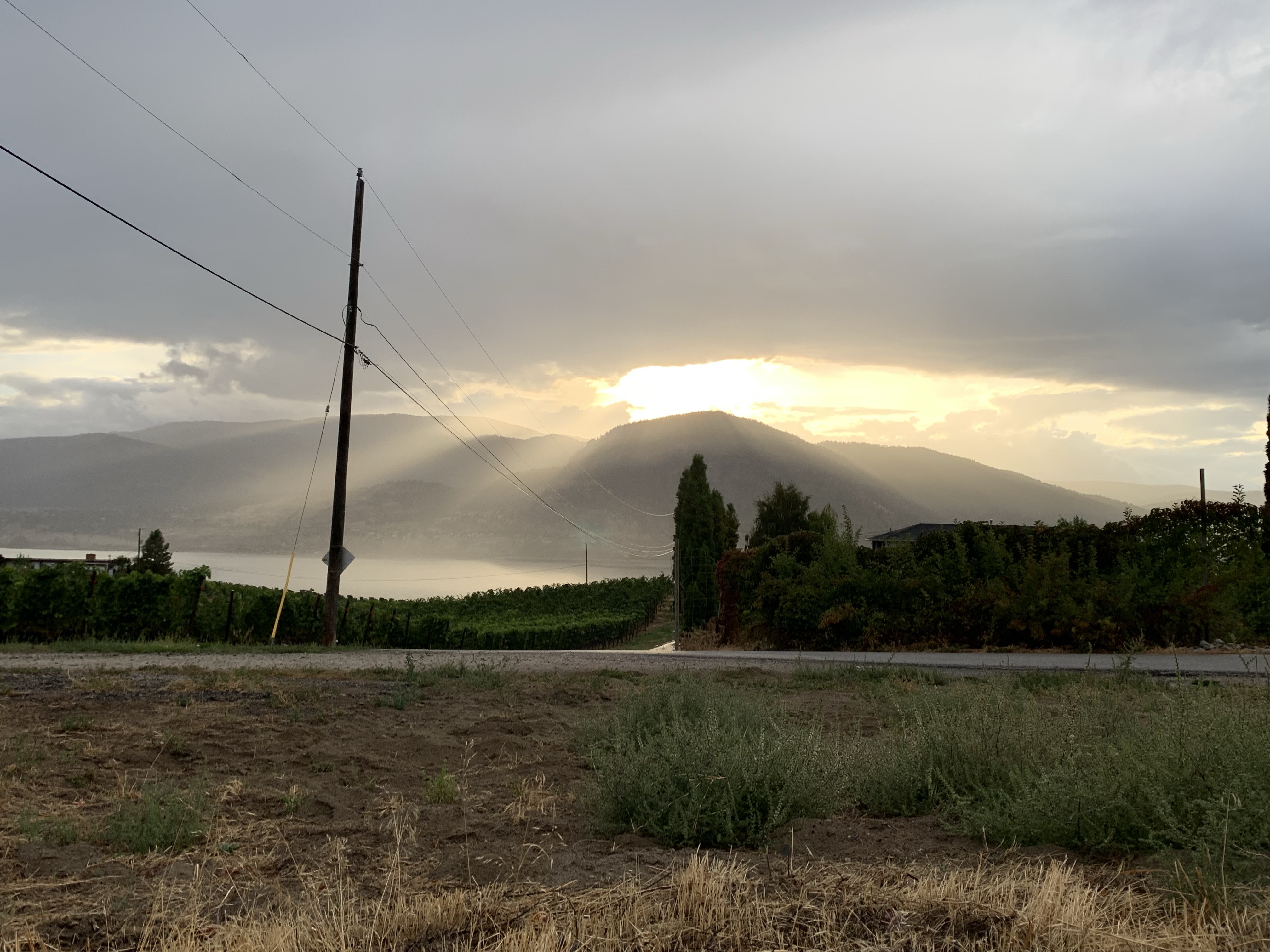

Hops. 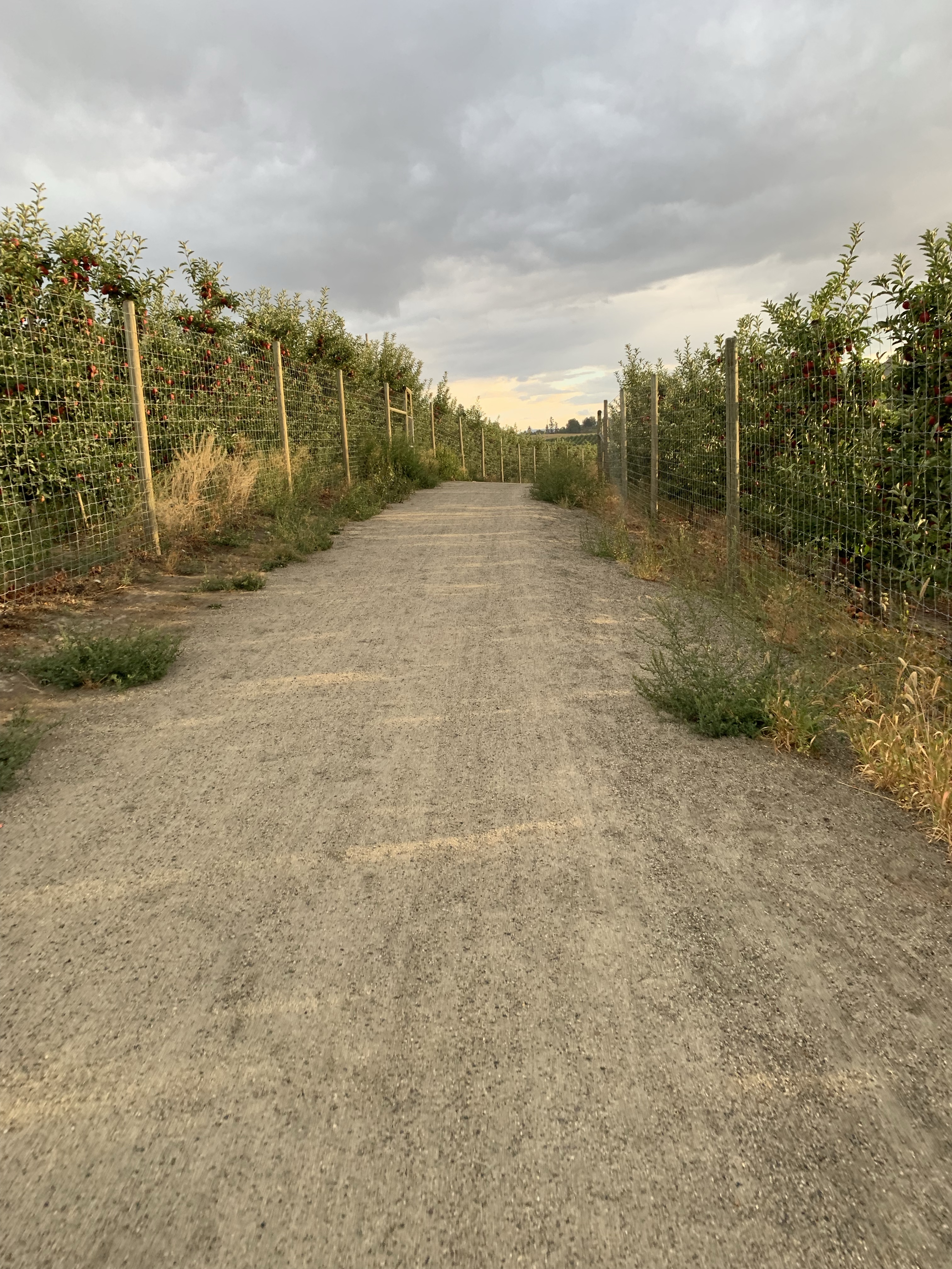
Apple Orchard. 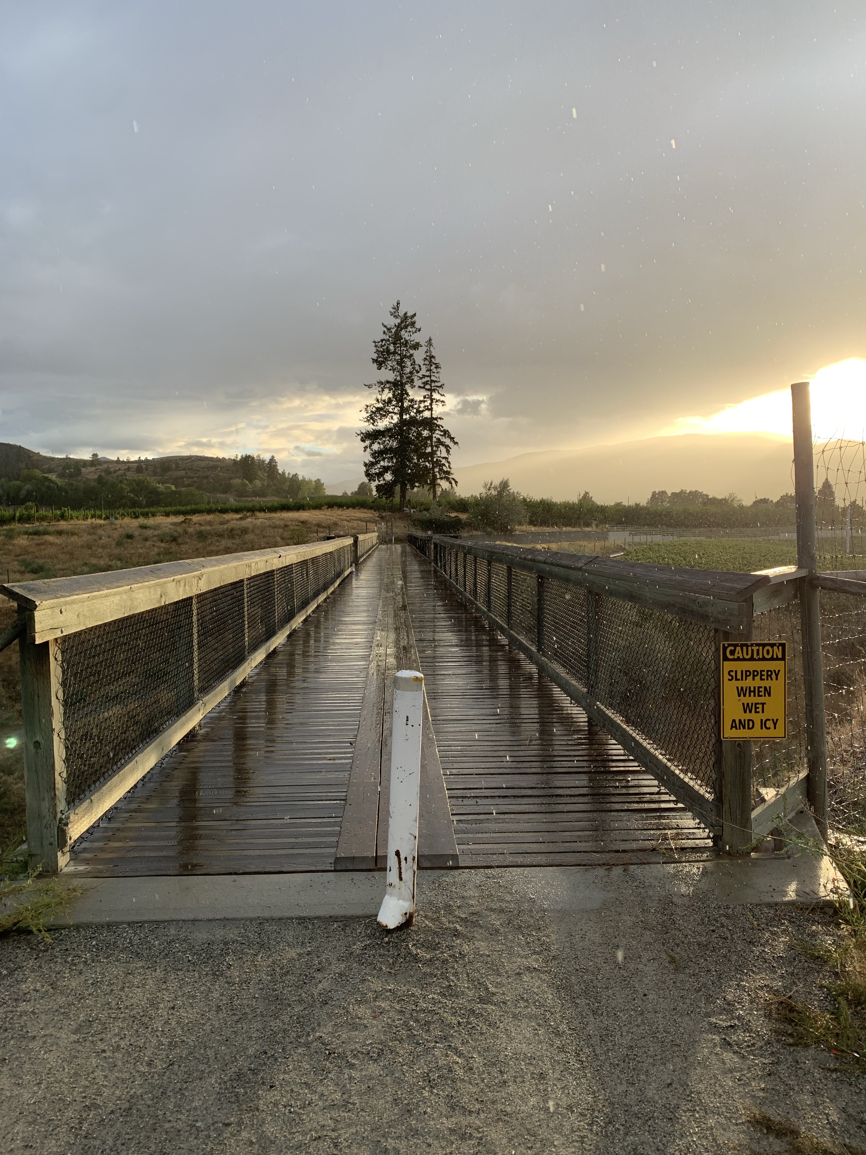
Penticton River Bridge (M132.6; km213.4) 50 feet long, deck plate girder span. 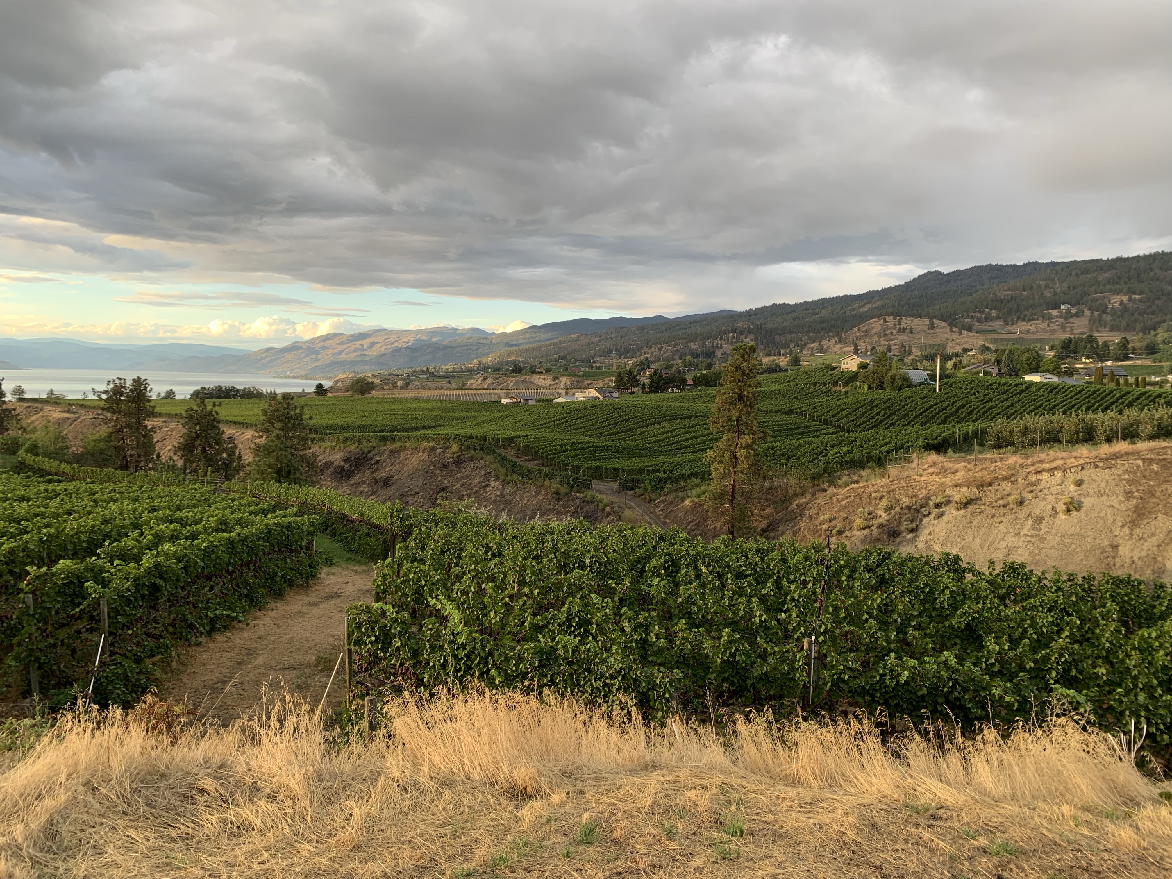
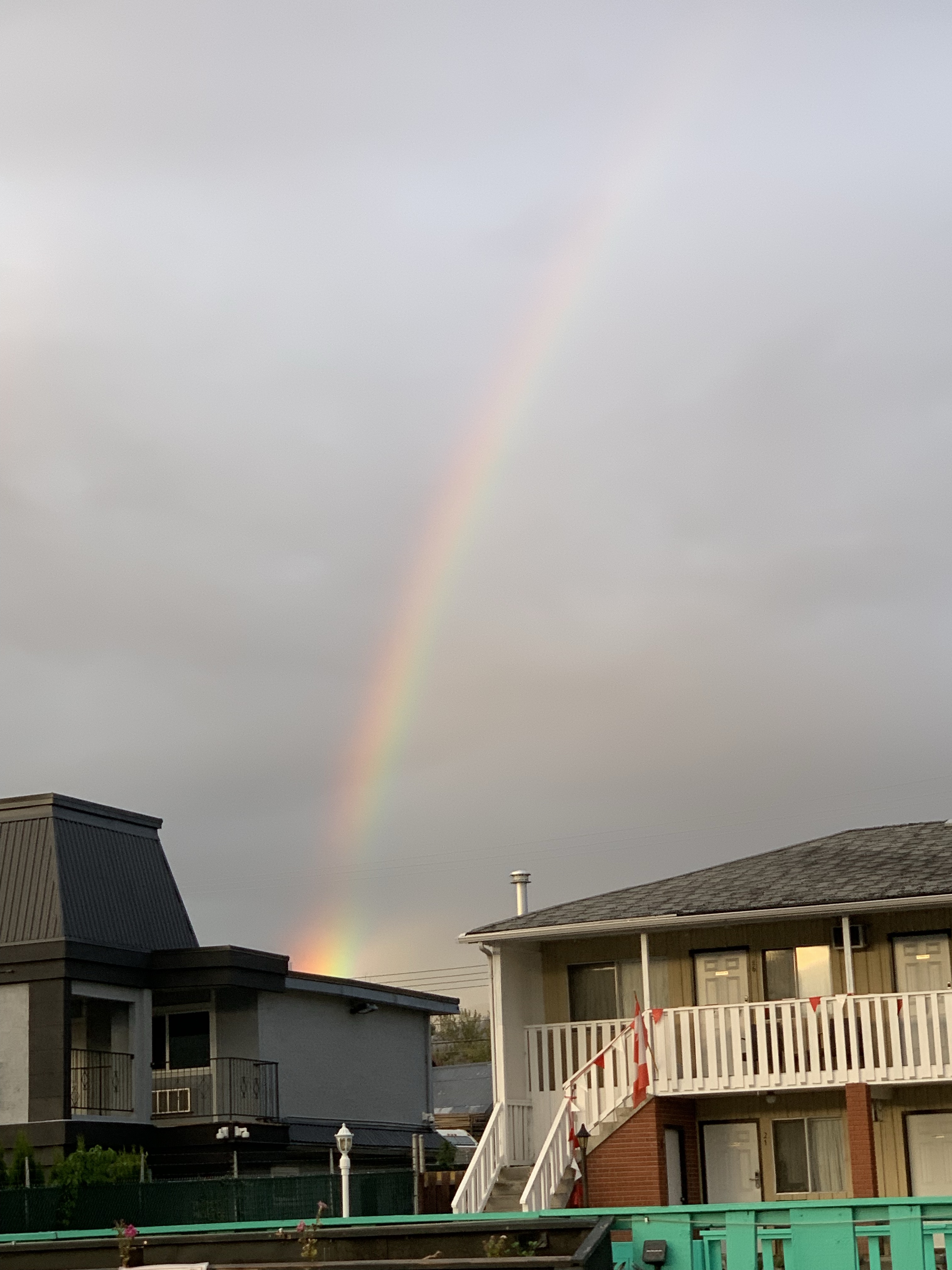
A beautiful rainbow at the end of our trip.
*Railway Mileposts: British Columbia – Volume II: The Southern Routes From the Crowsnest to the Coquihalla (Including the Great Northern and Kettle Valley Routes)
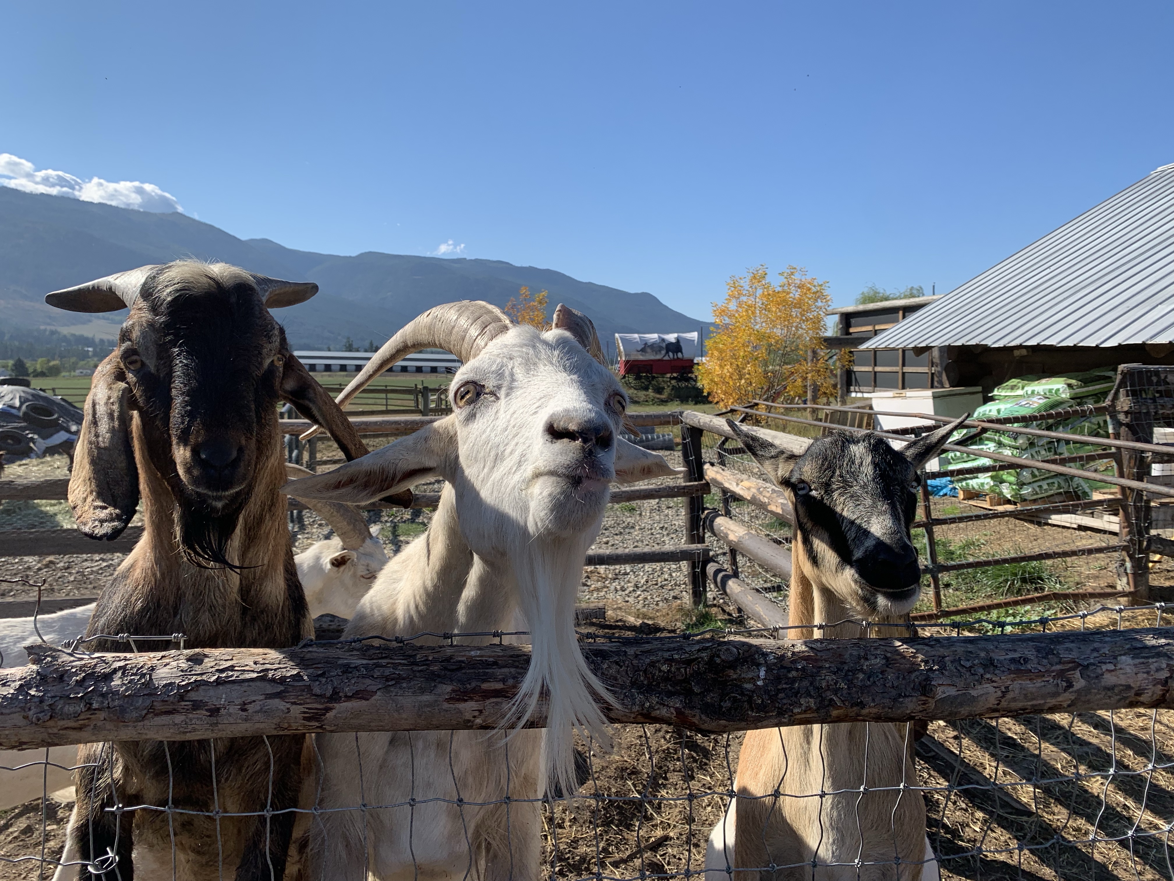
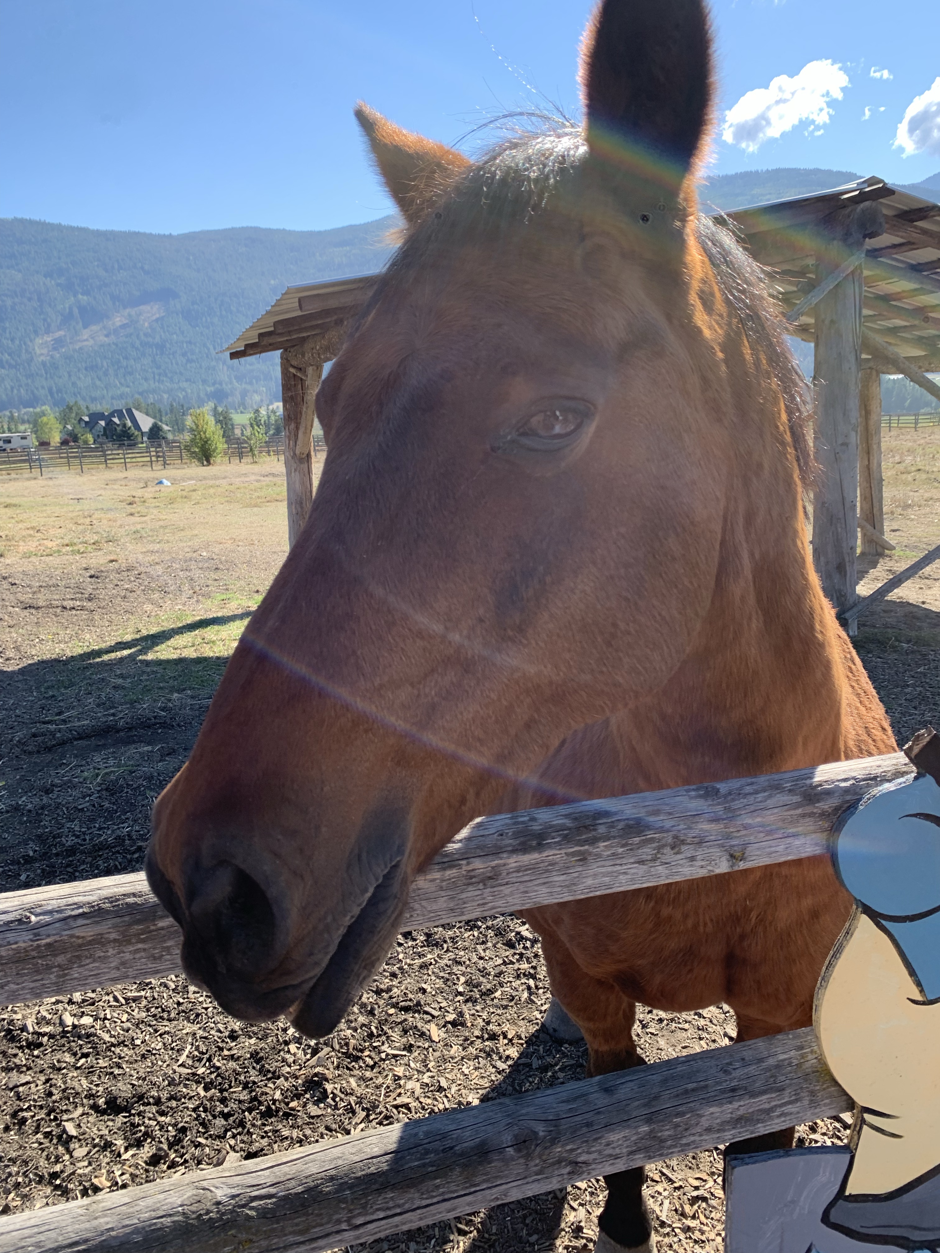
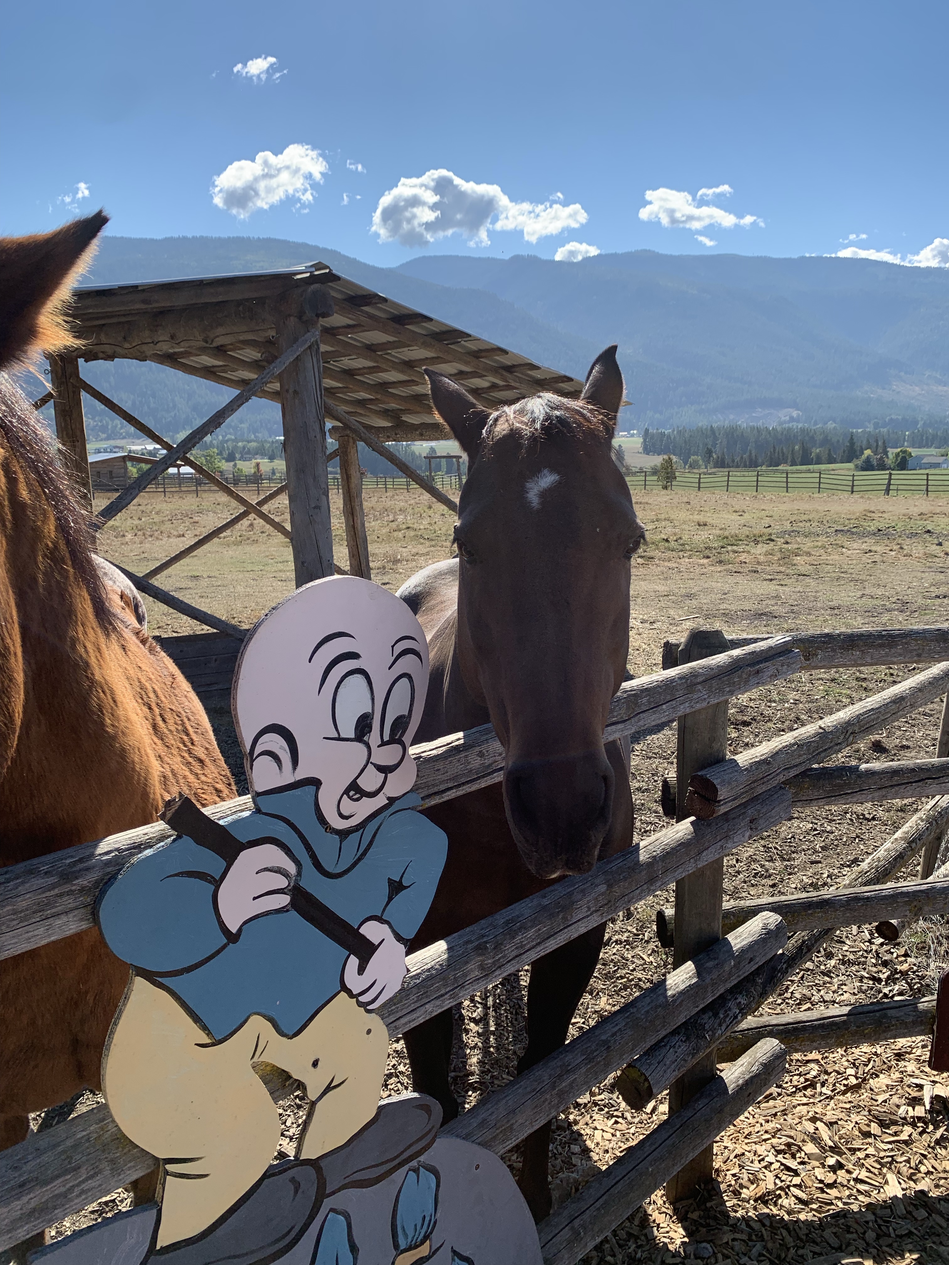
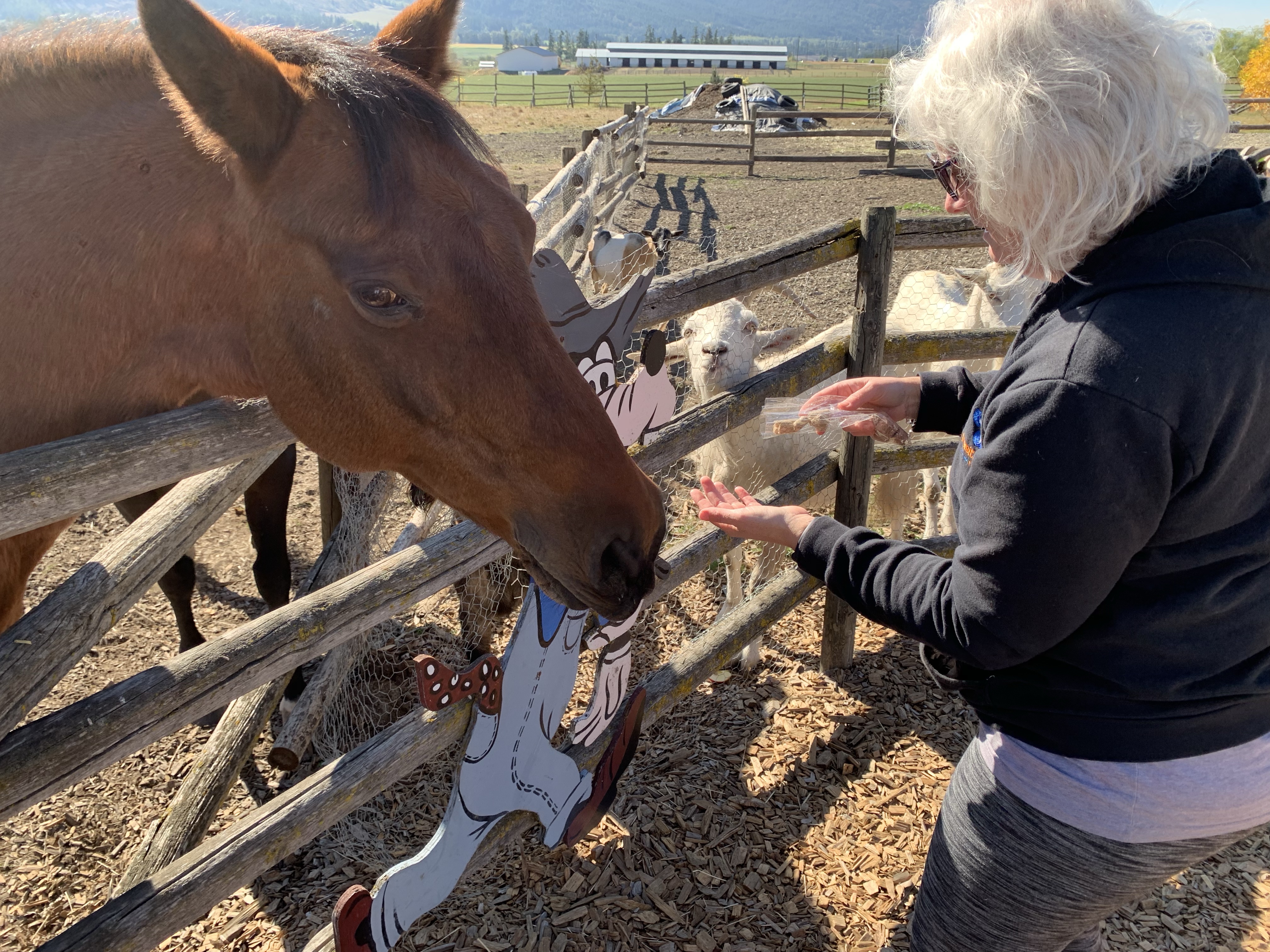
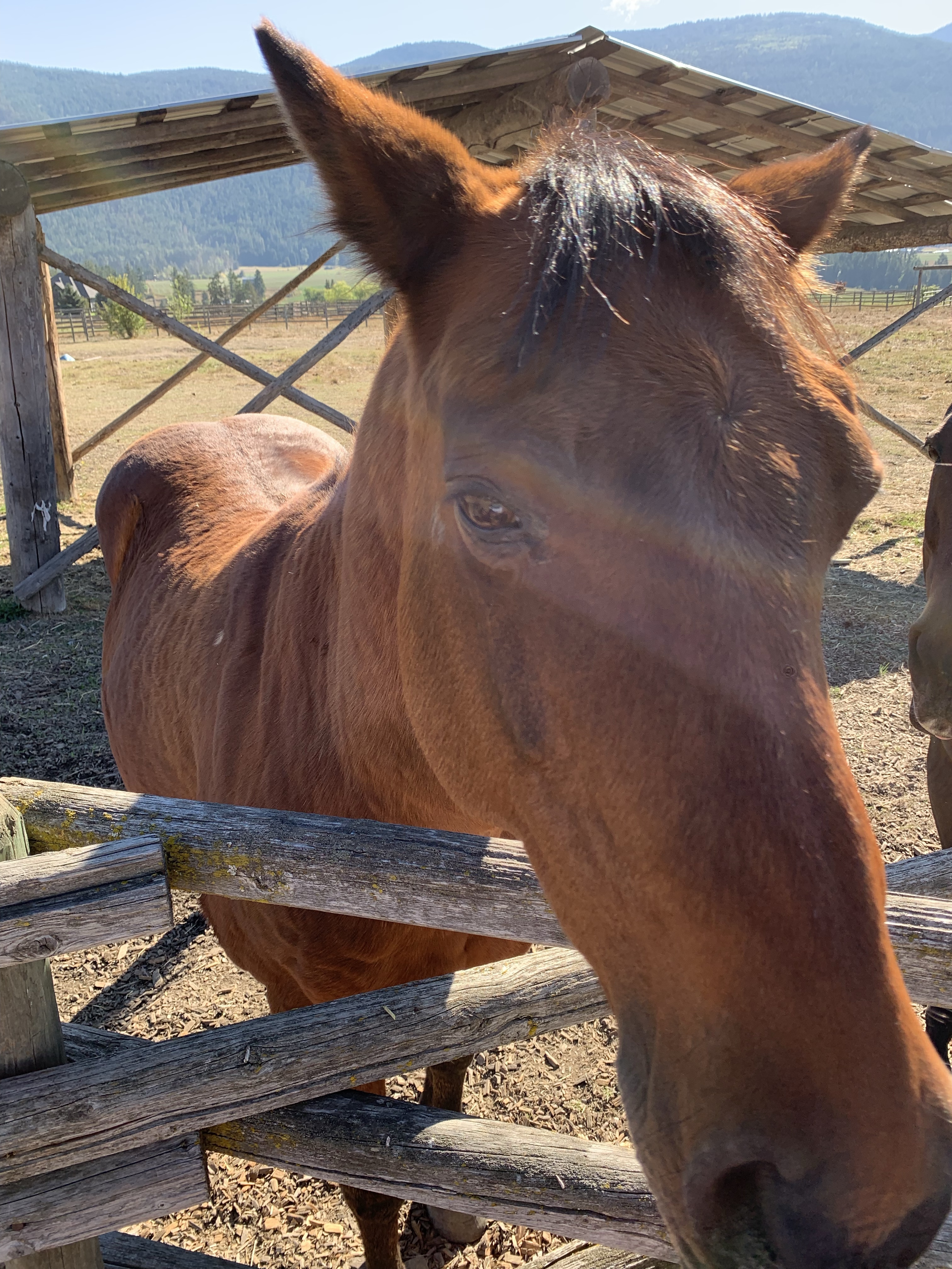
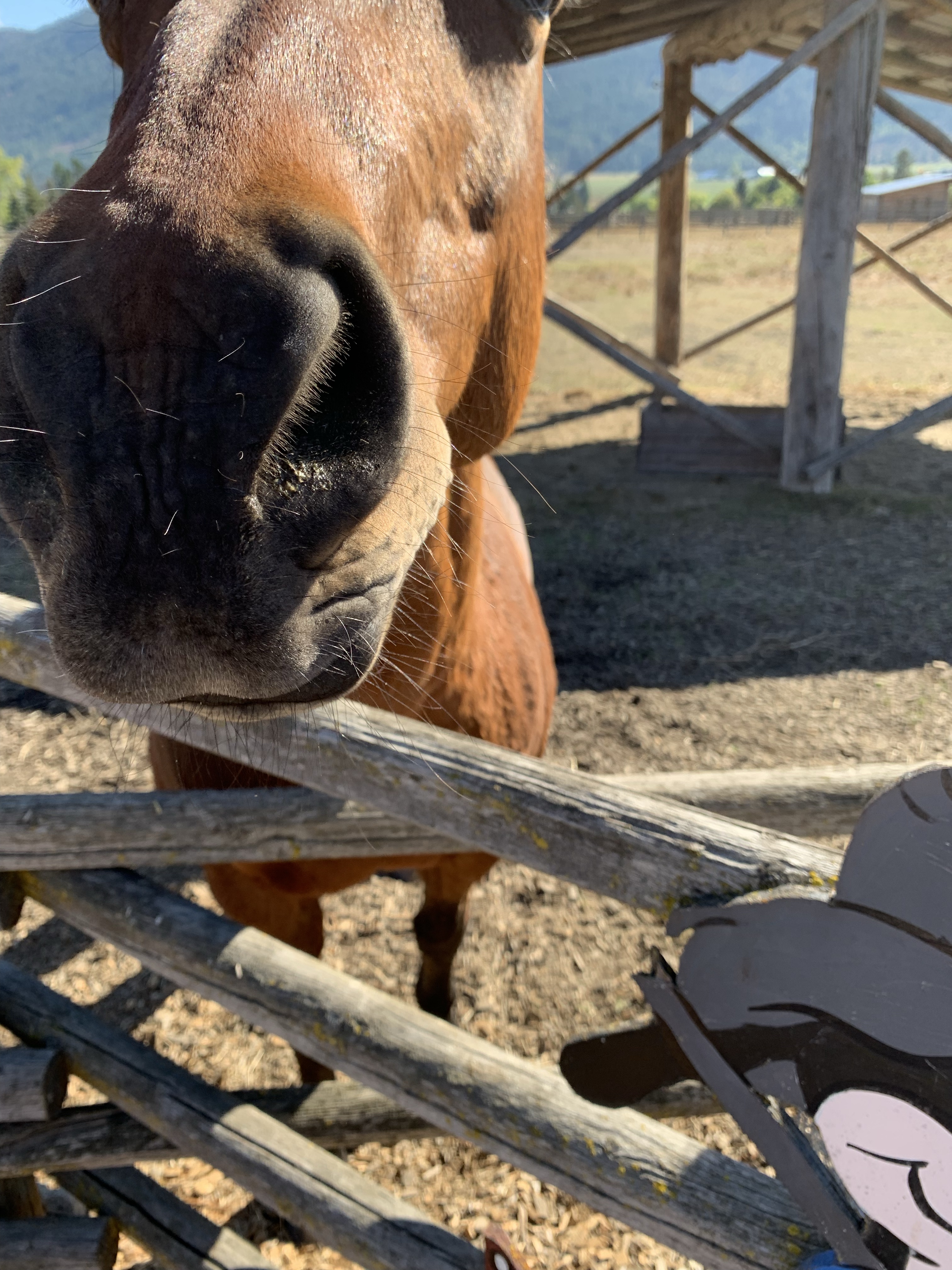
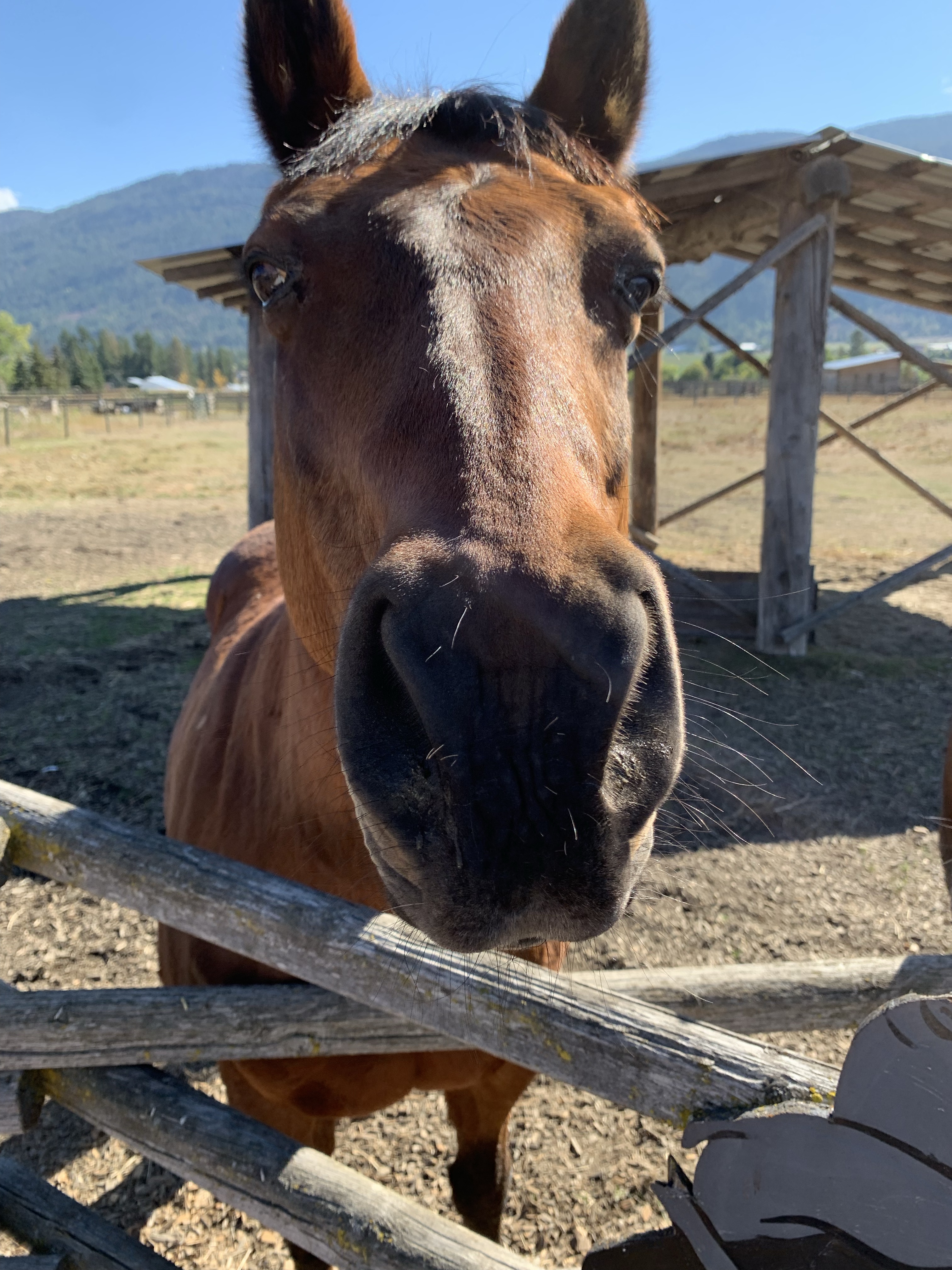
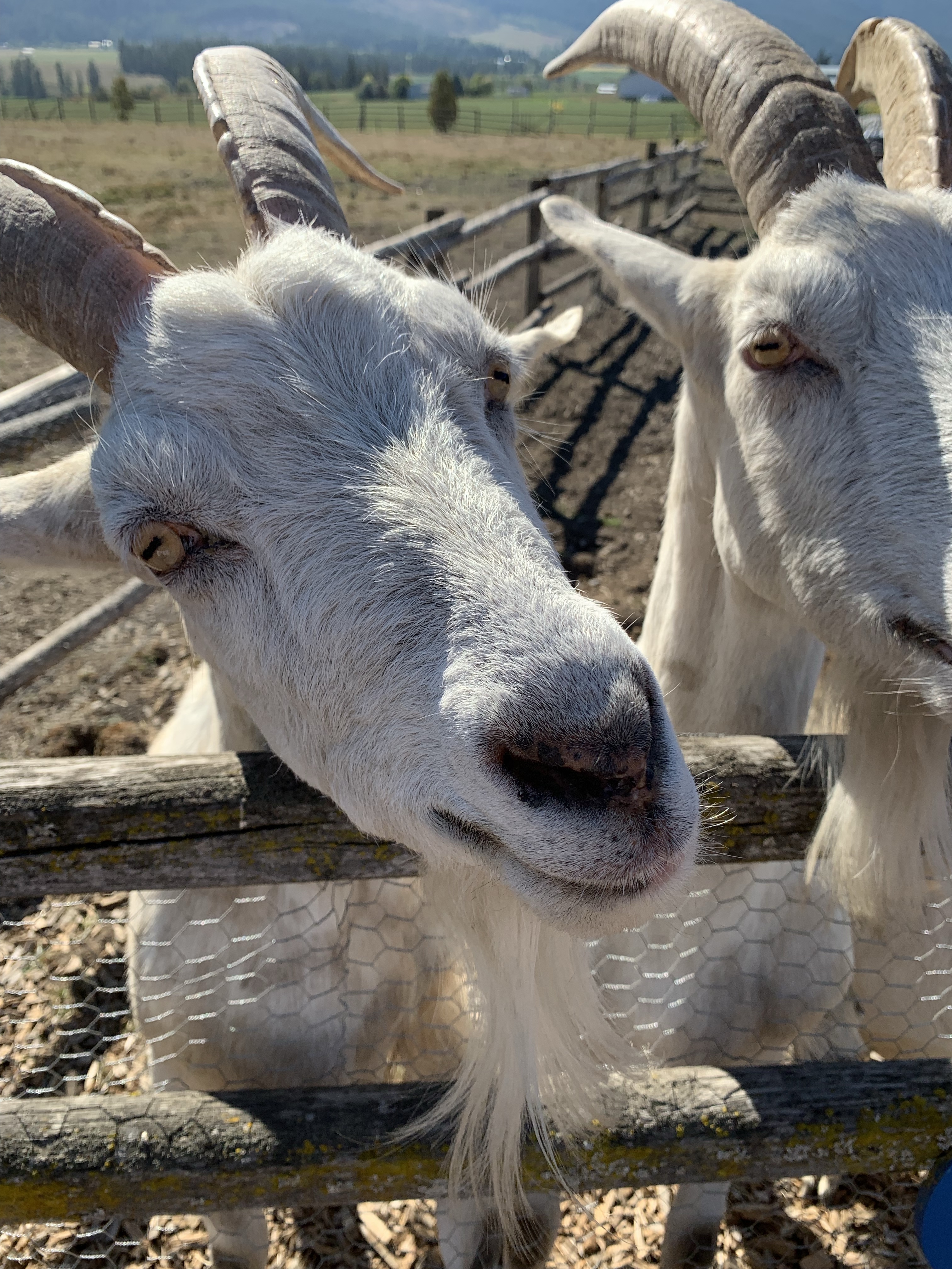
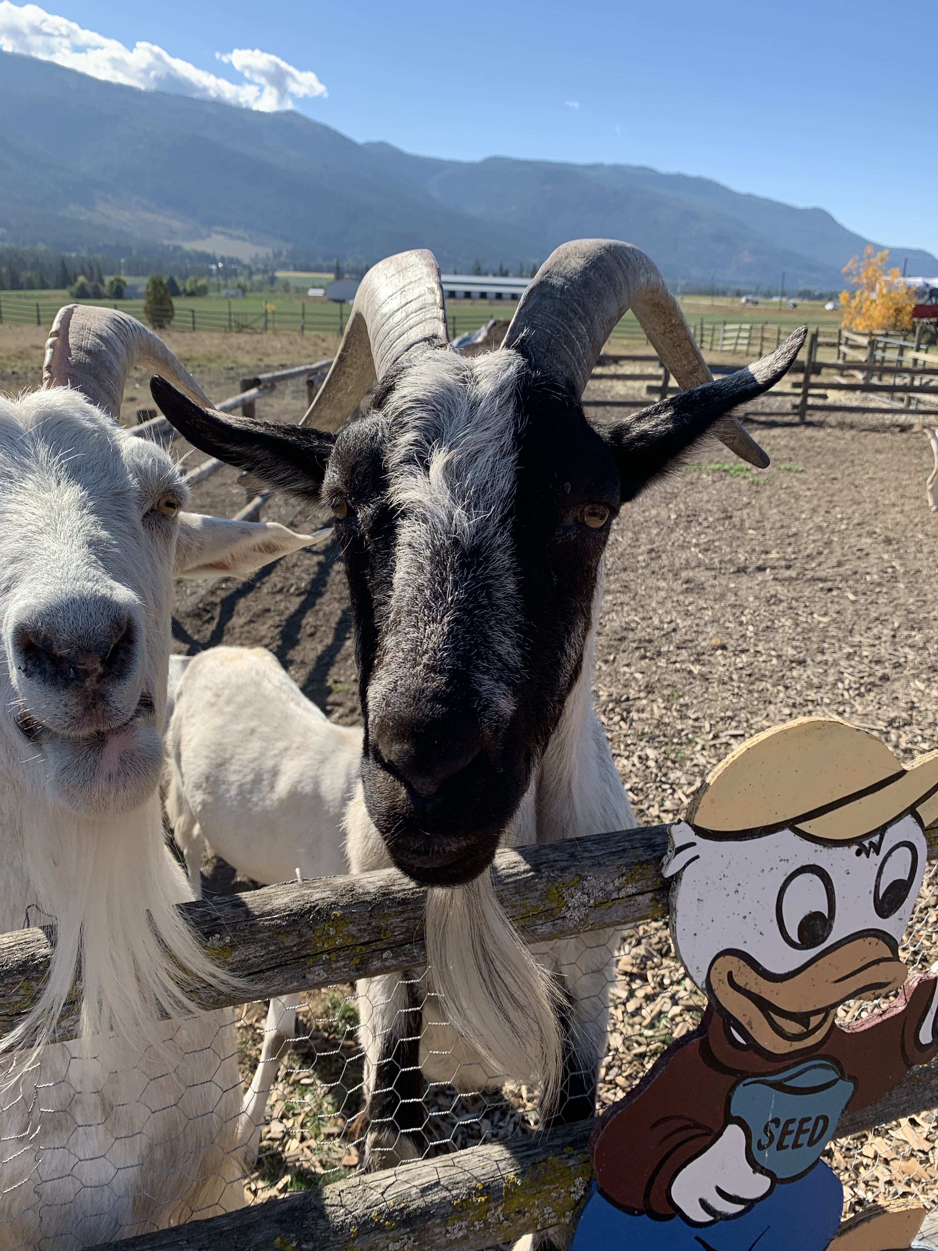
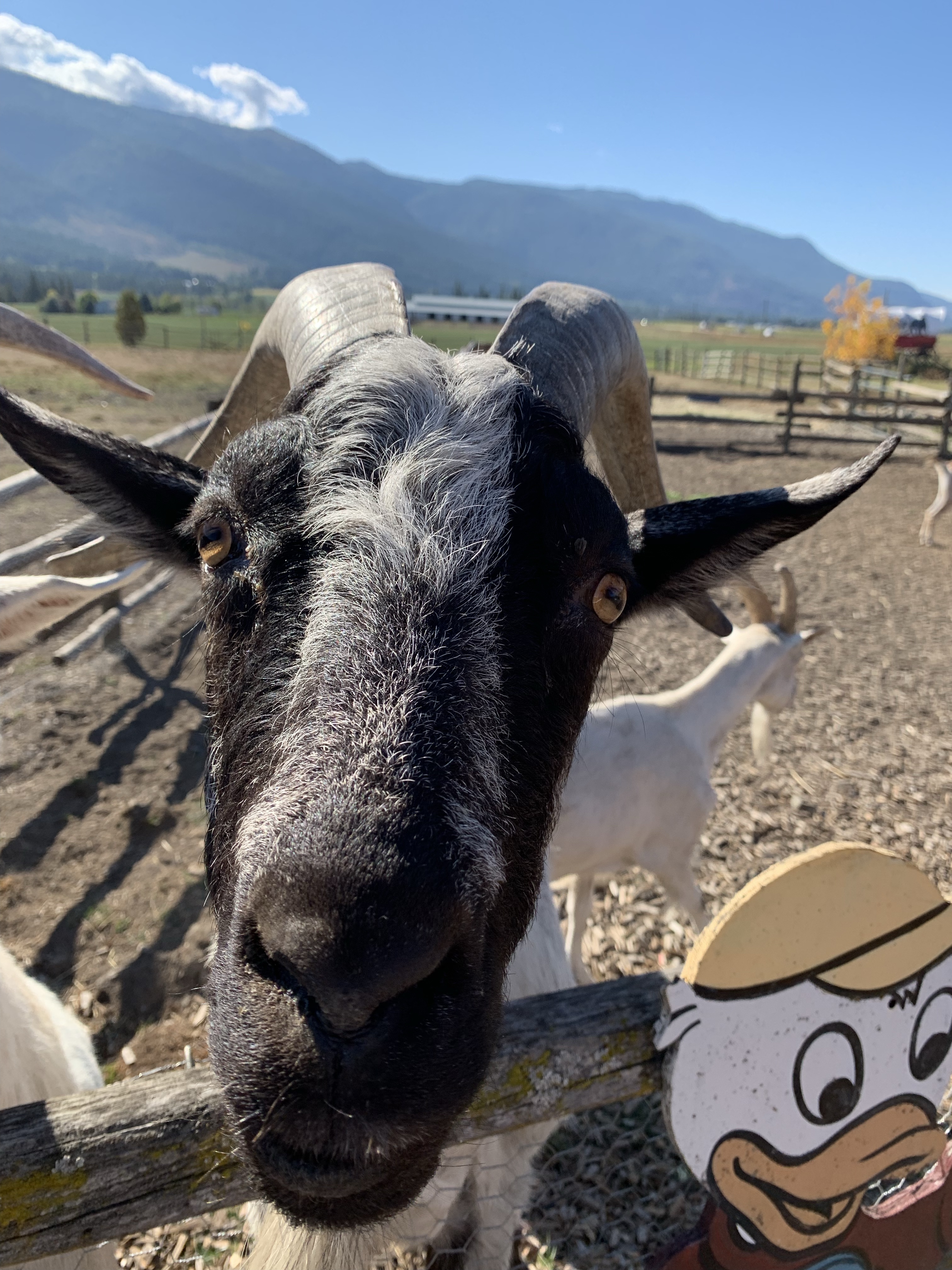
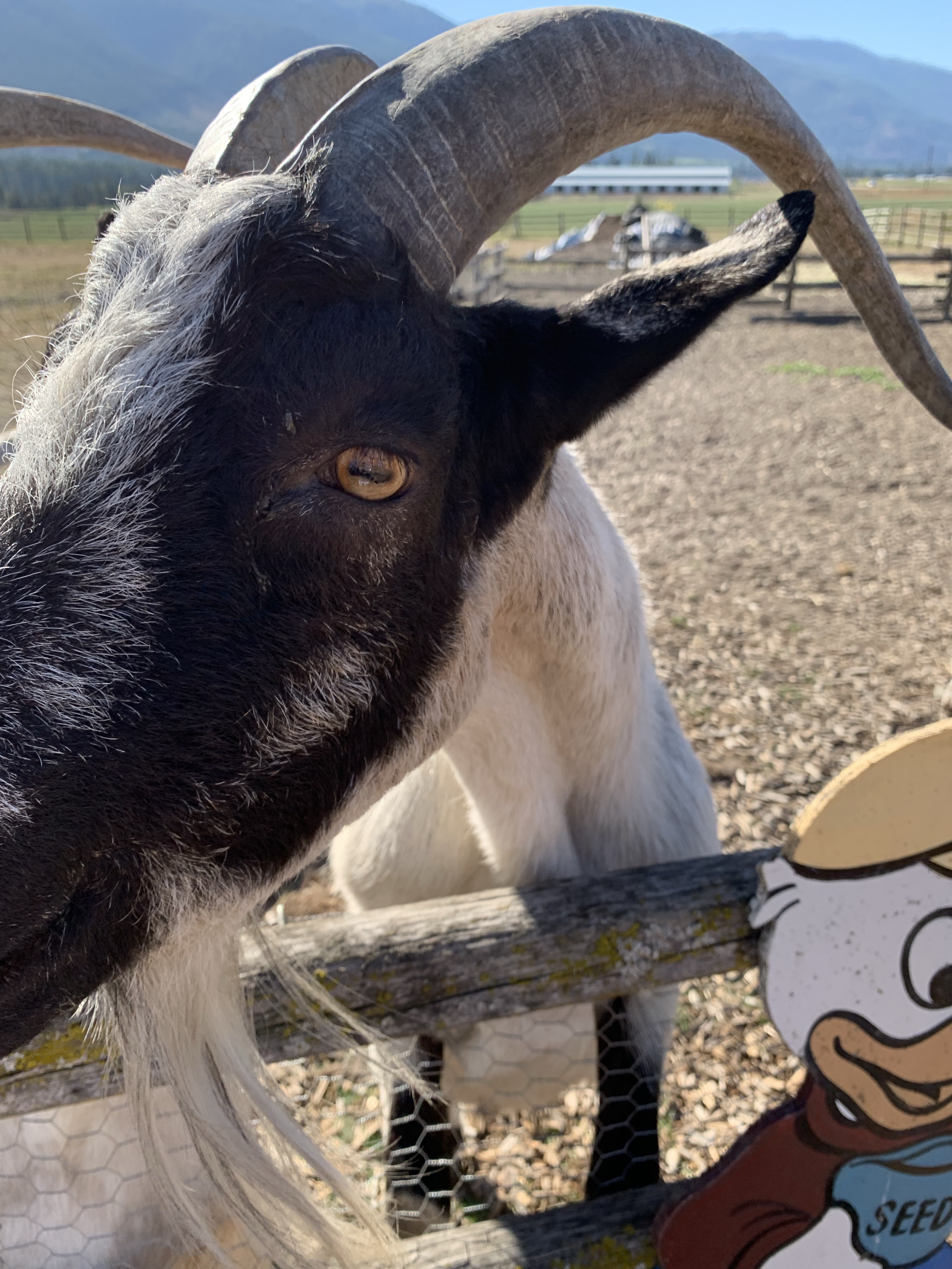
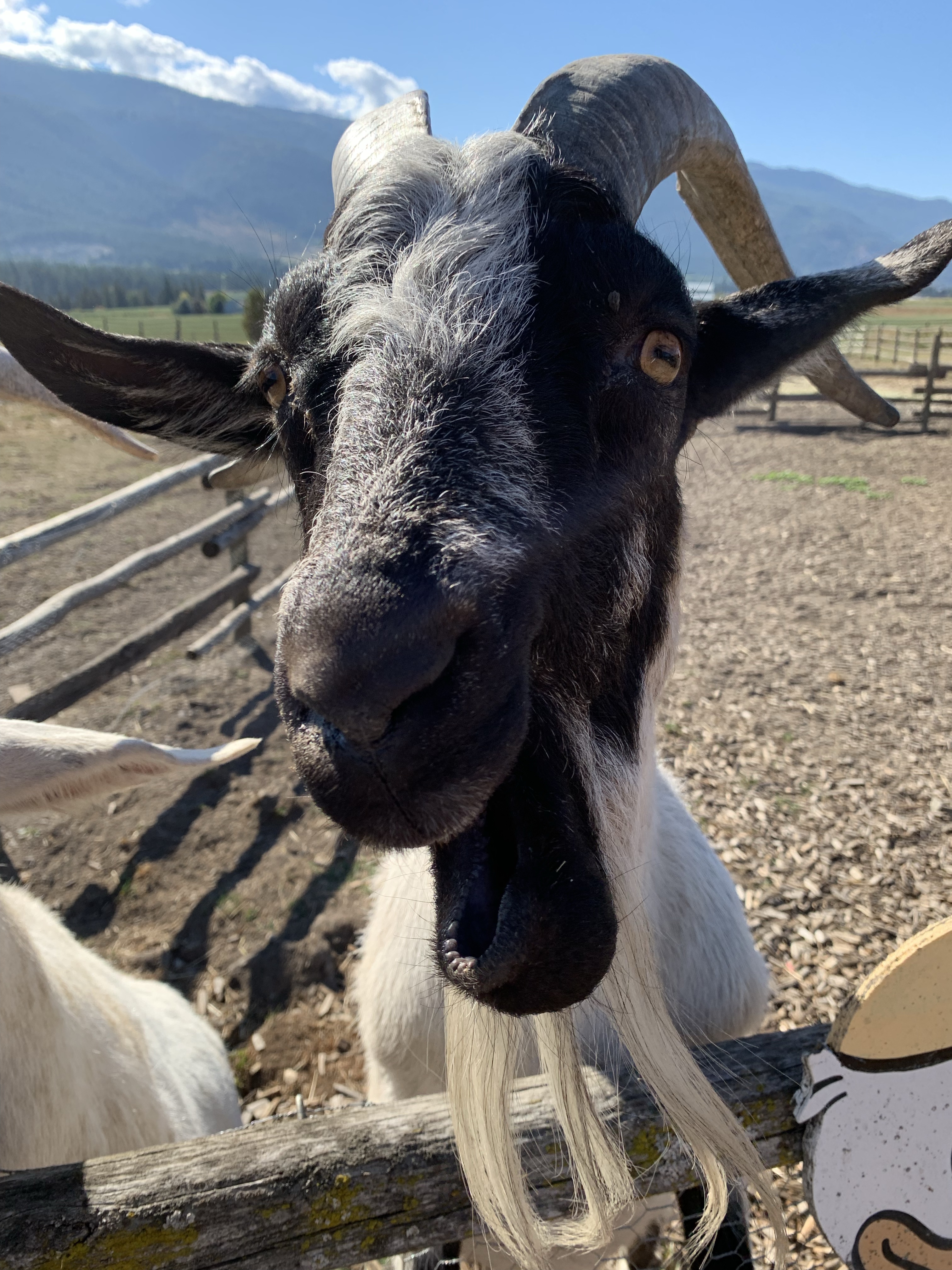
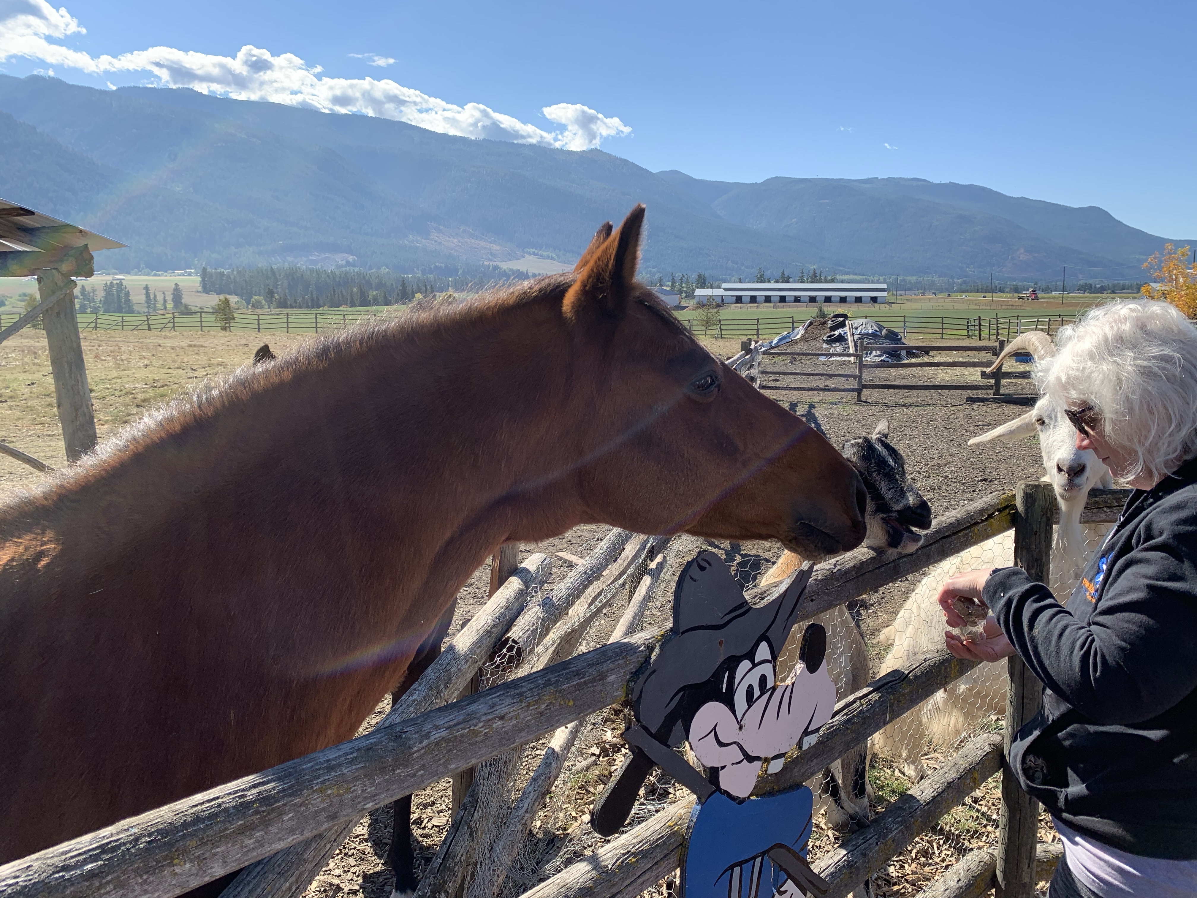
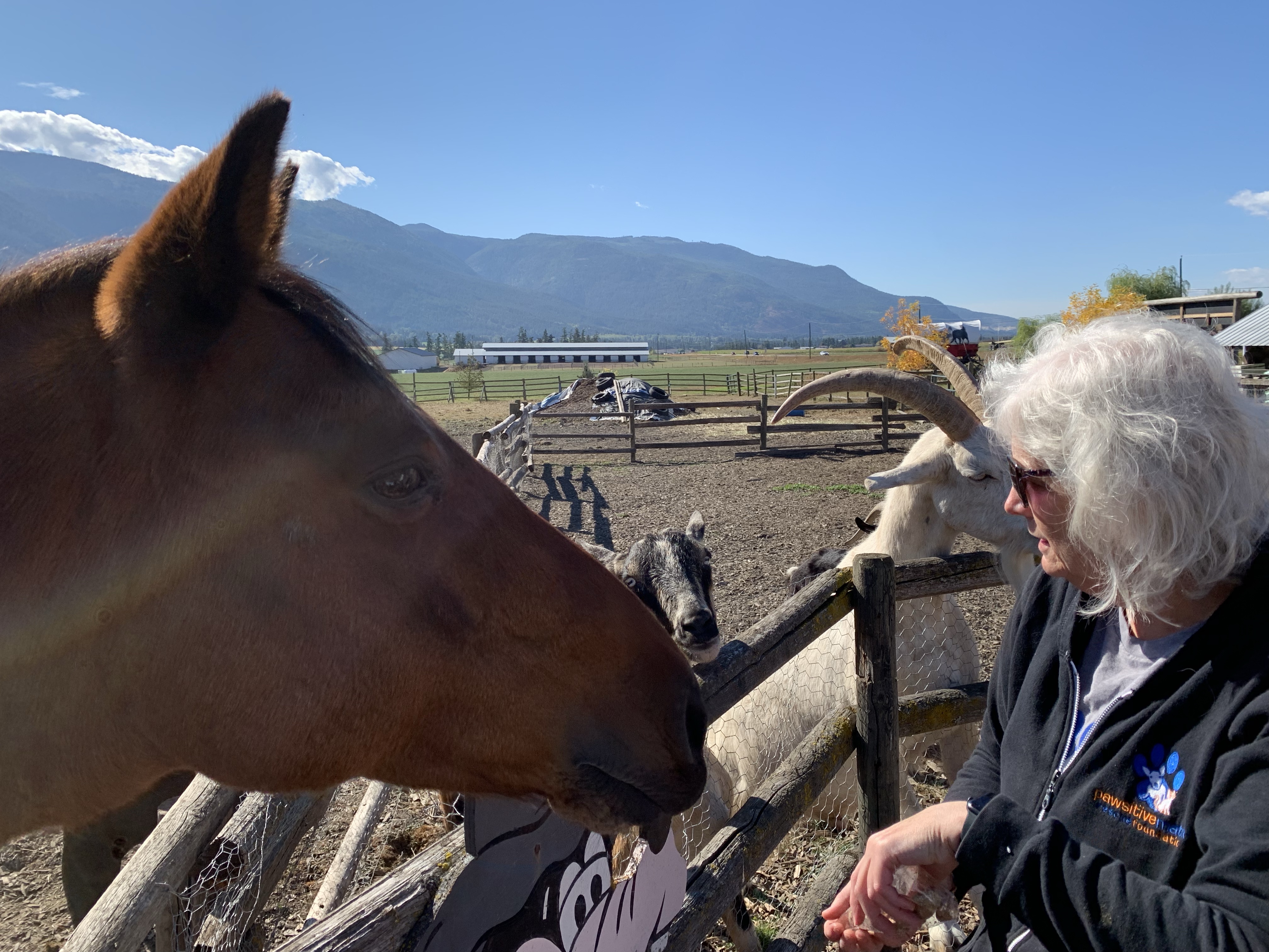
On our way back to Calgary on Monday 13th, 2021, one of the places we stopped at was to see the goats and horses at The Log Barn. Sadly, we were were also looking at buying some fruit and veggies but they really didn’t have a lot. I was able to buy apples and treats for the horses and goats.

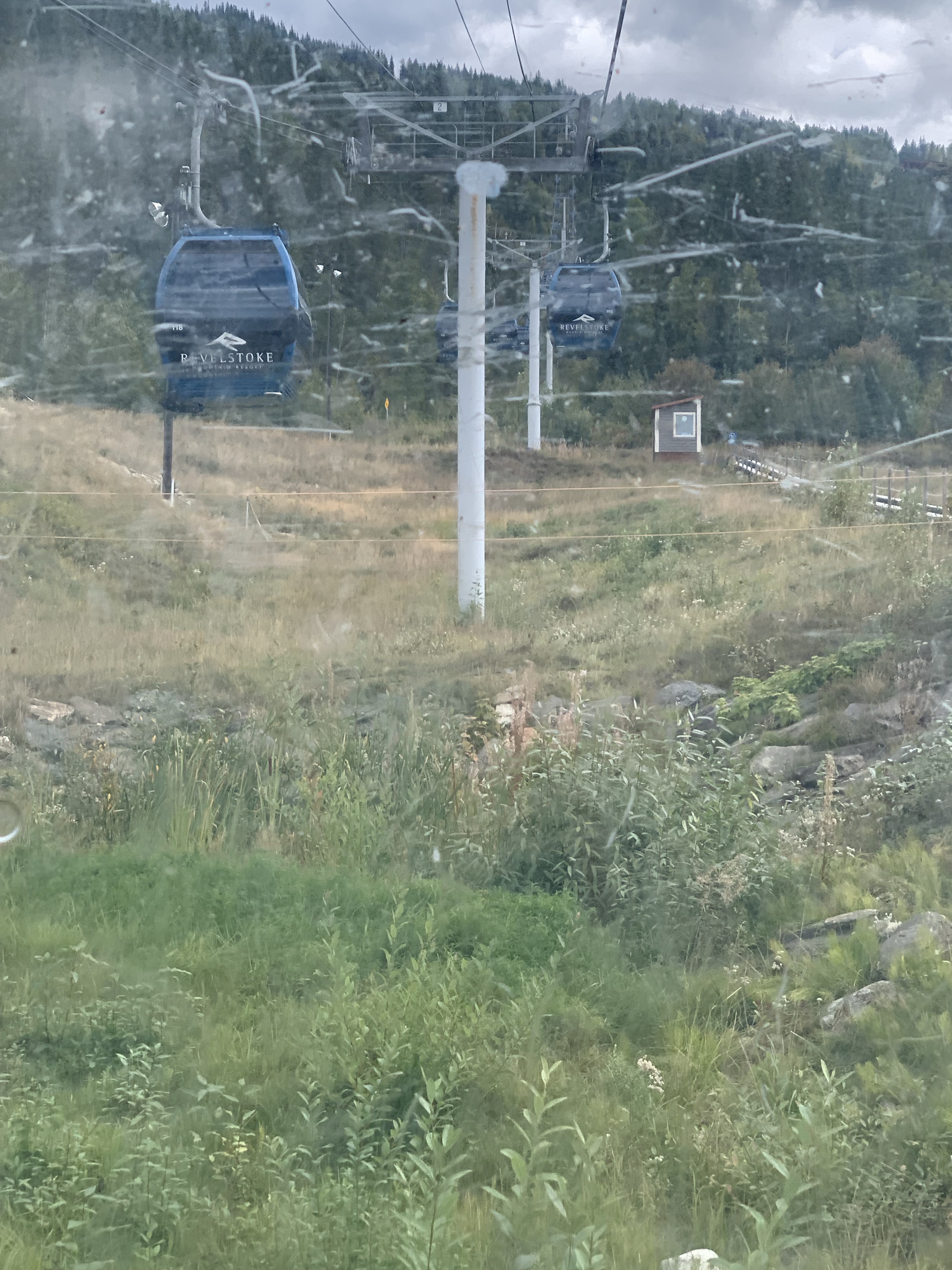
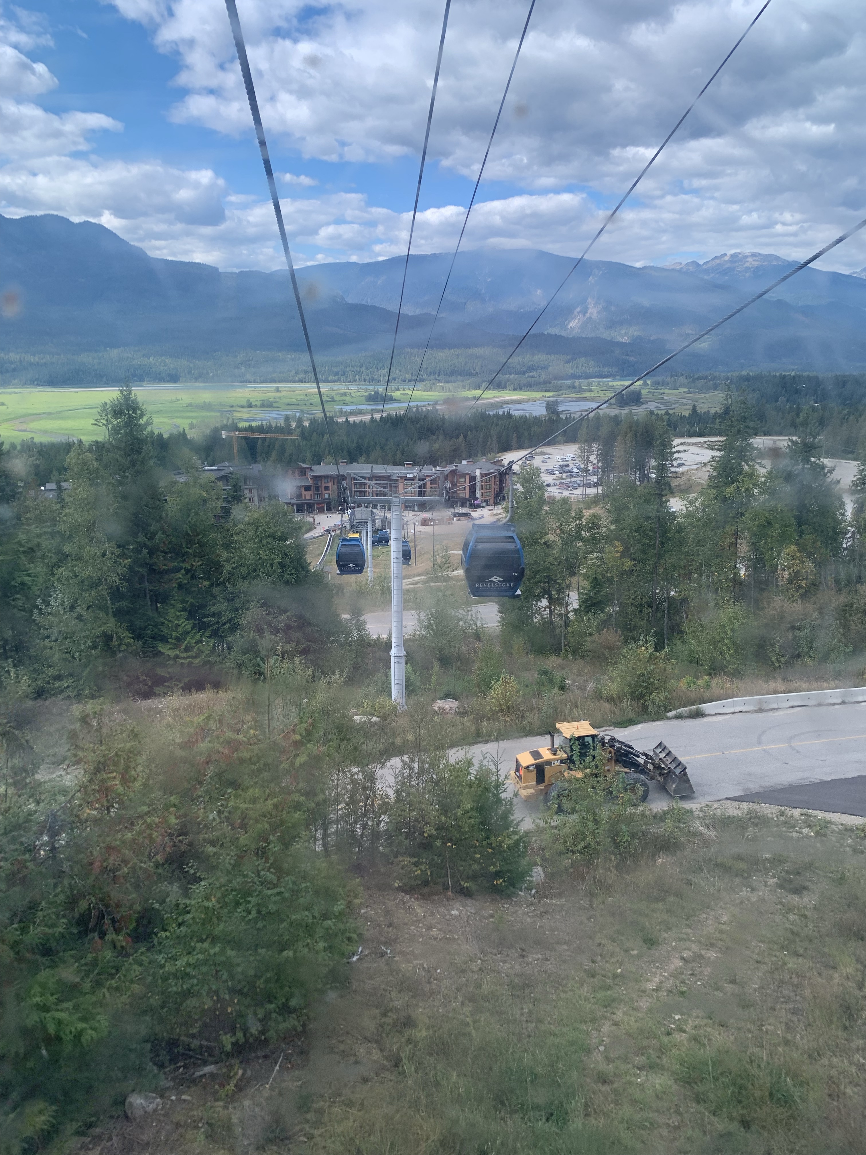
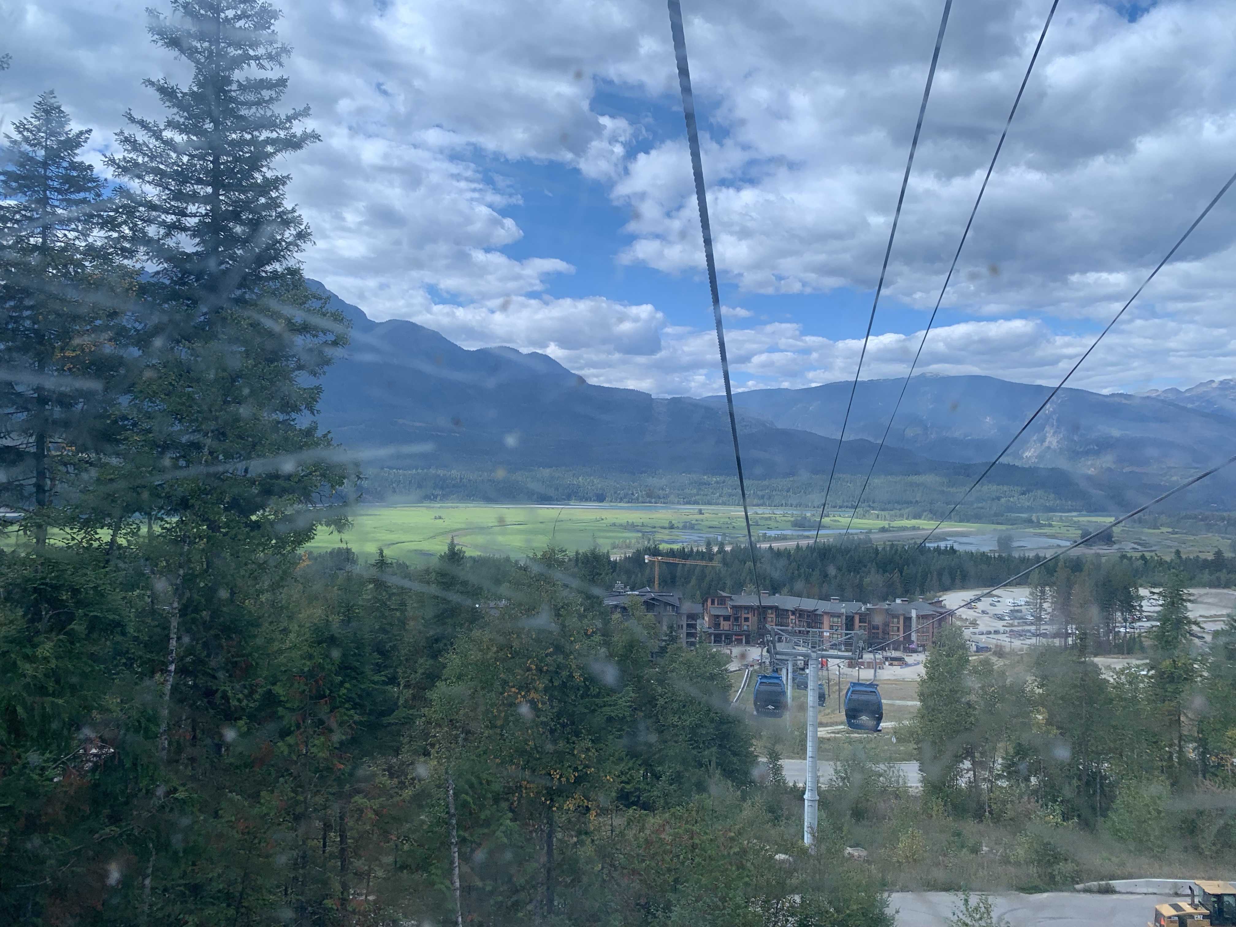
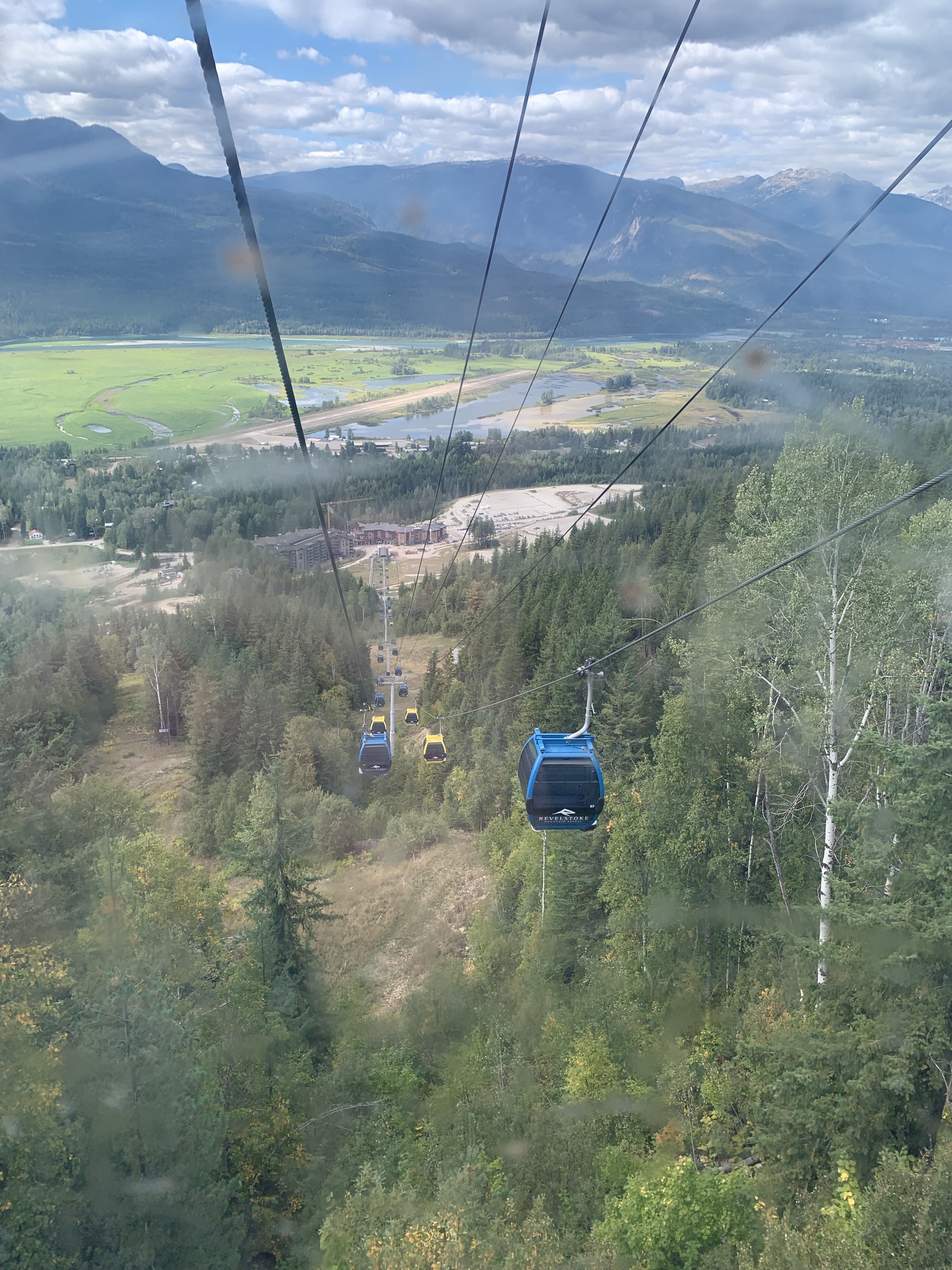
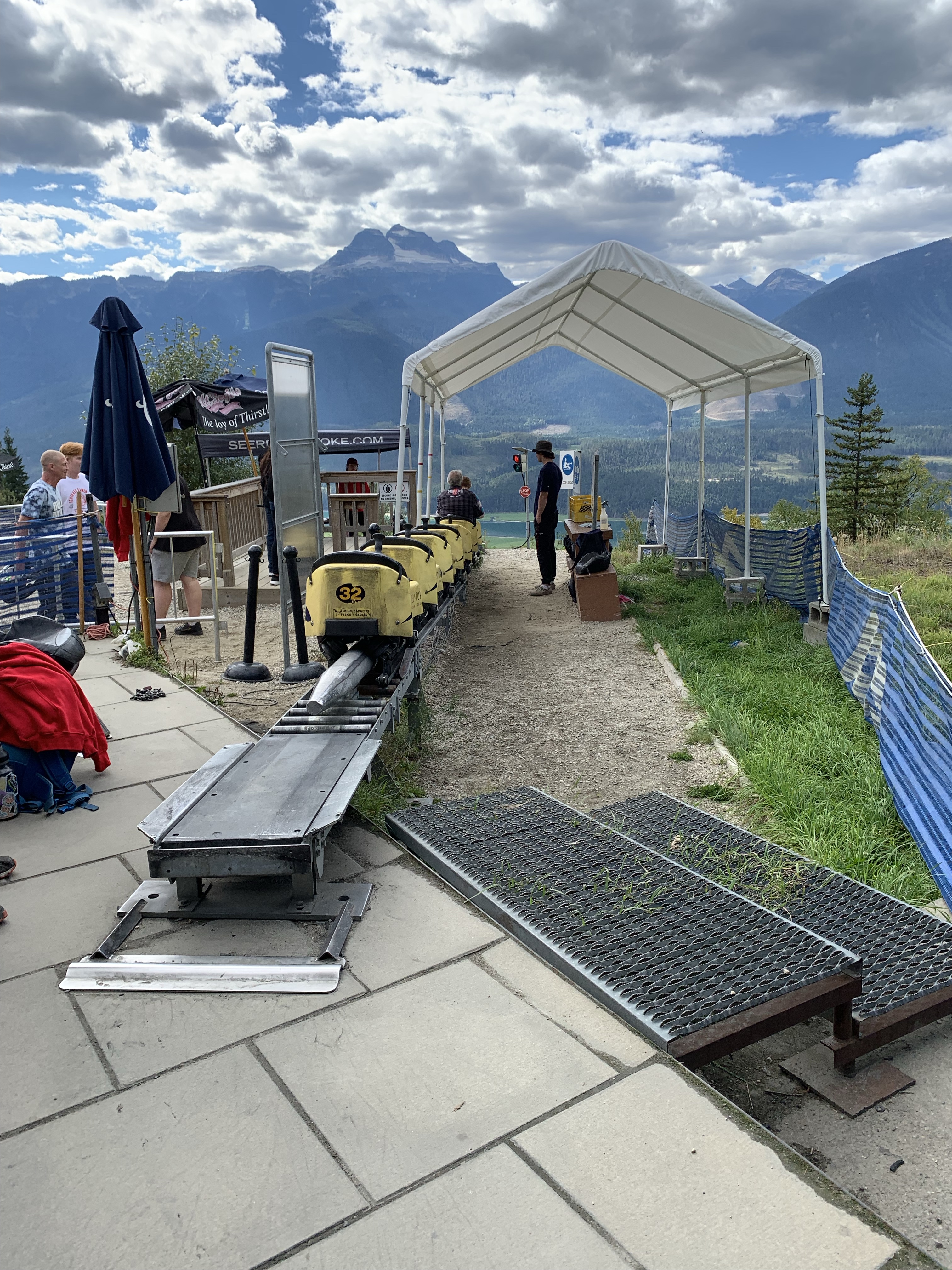
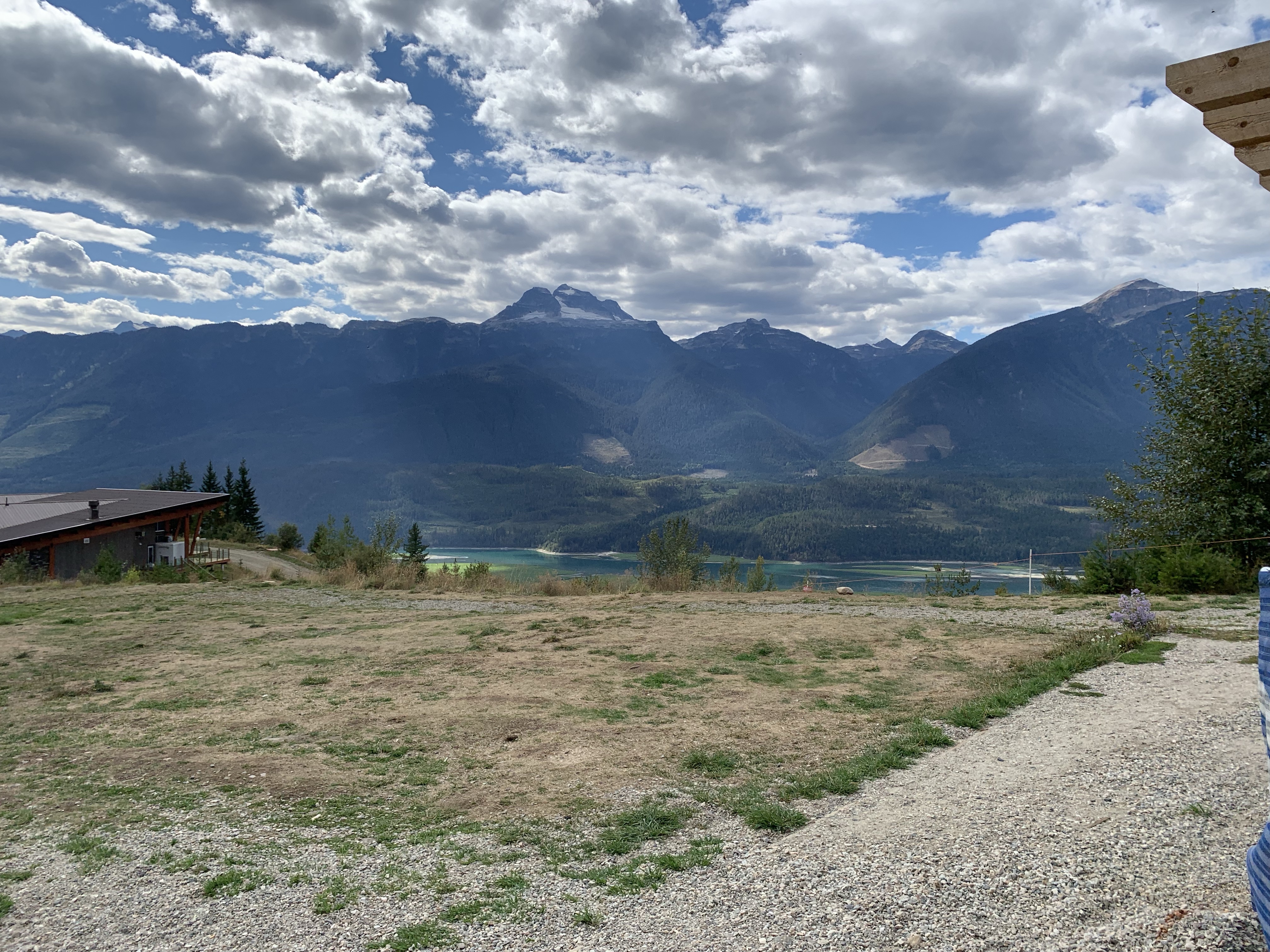
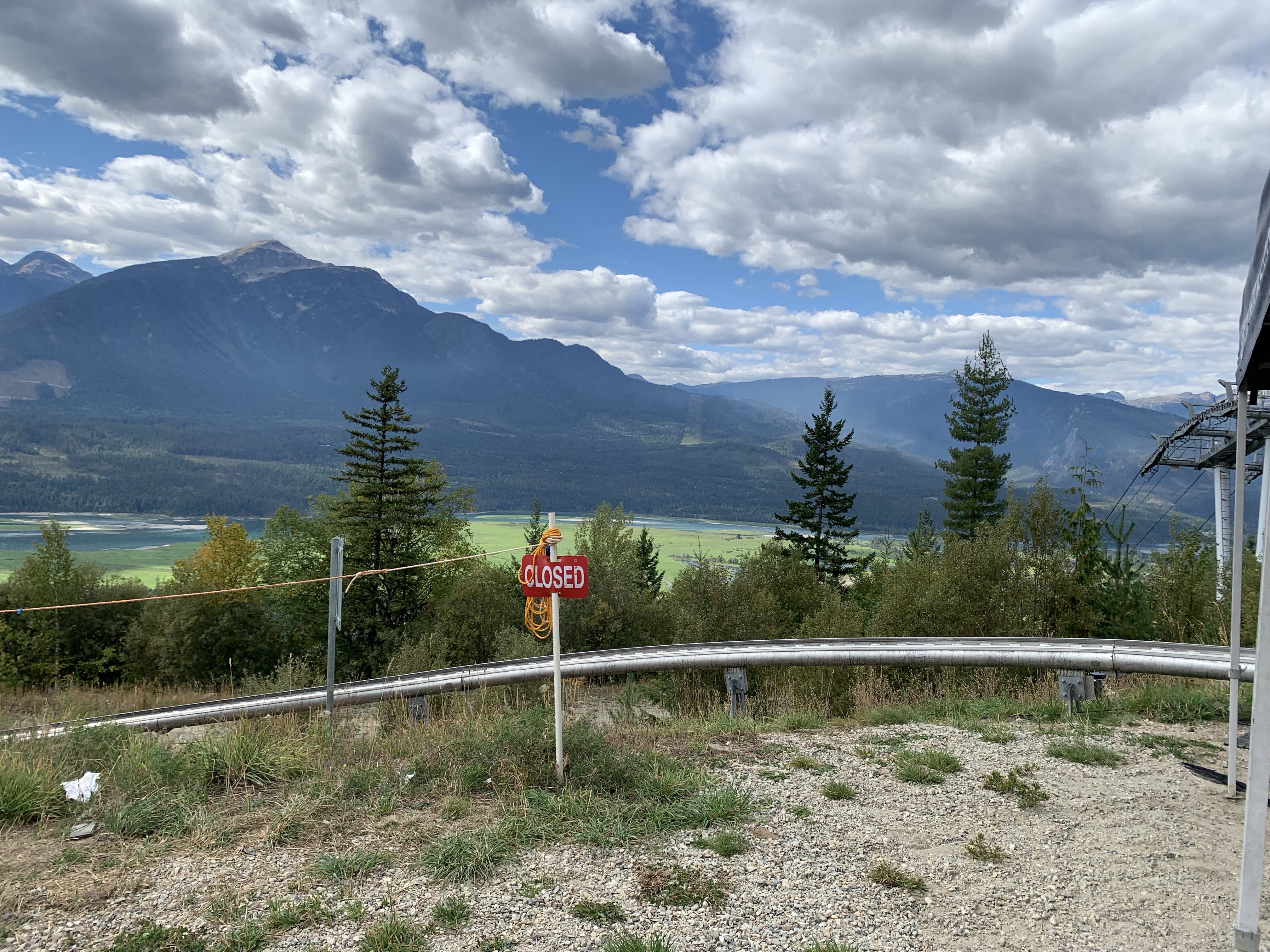
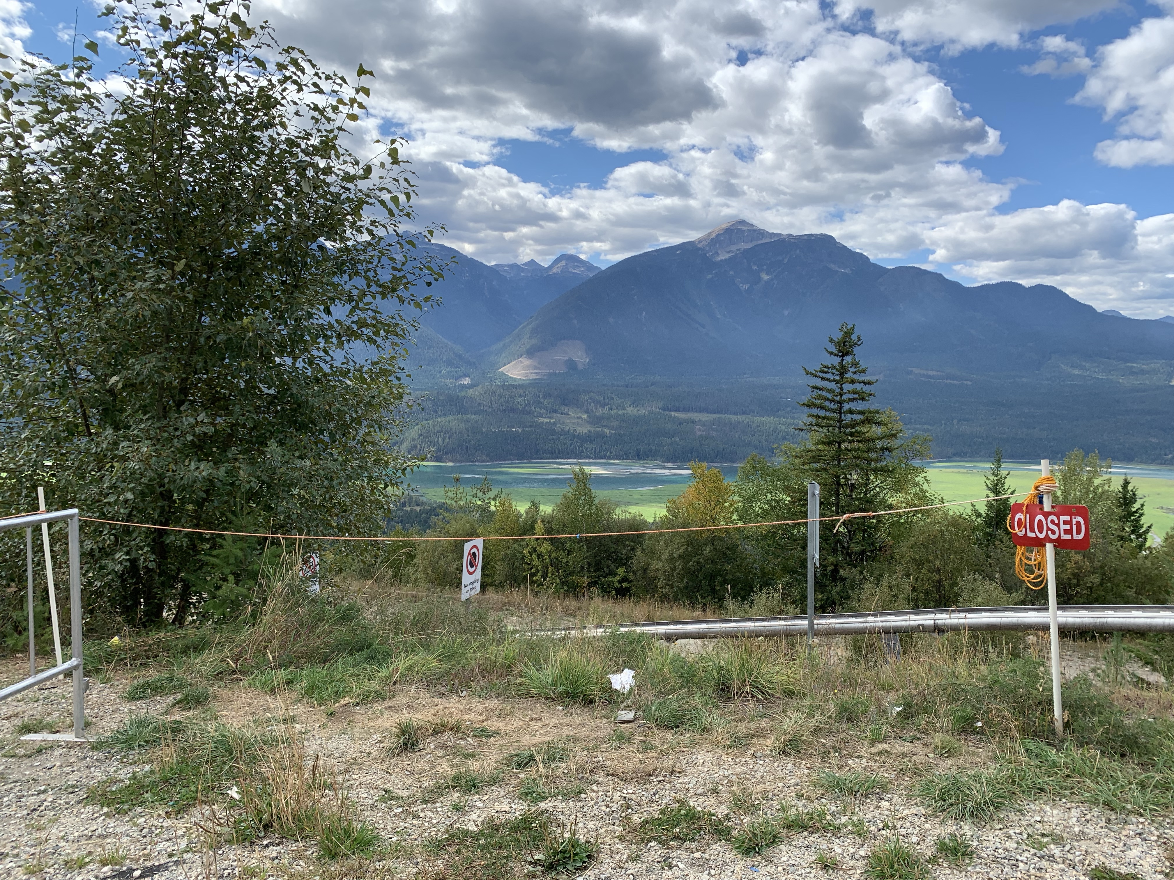
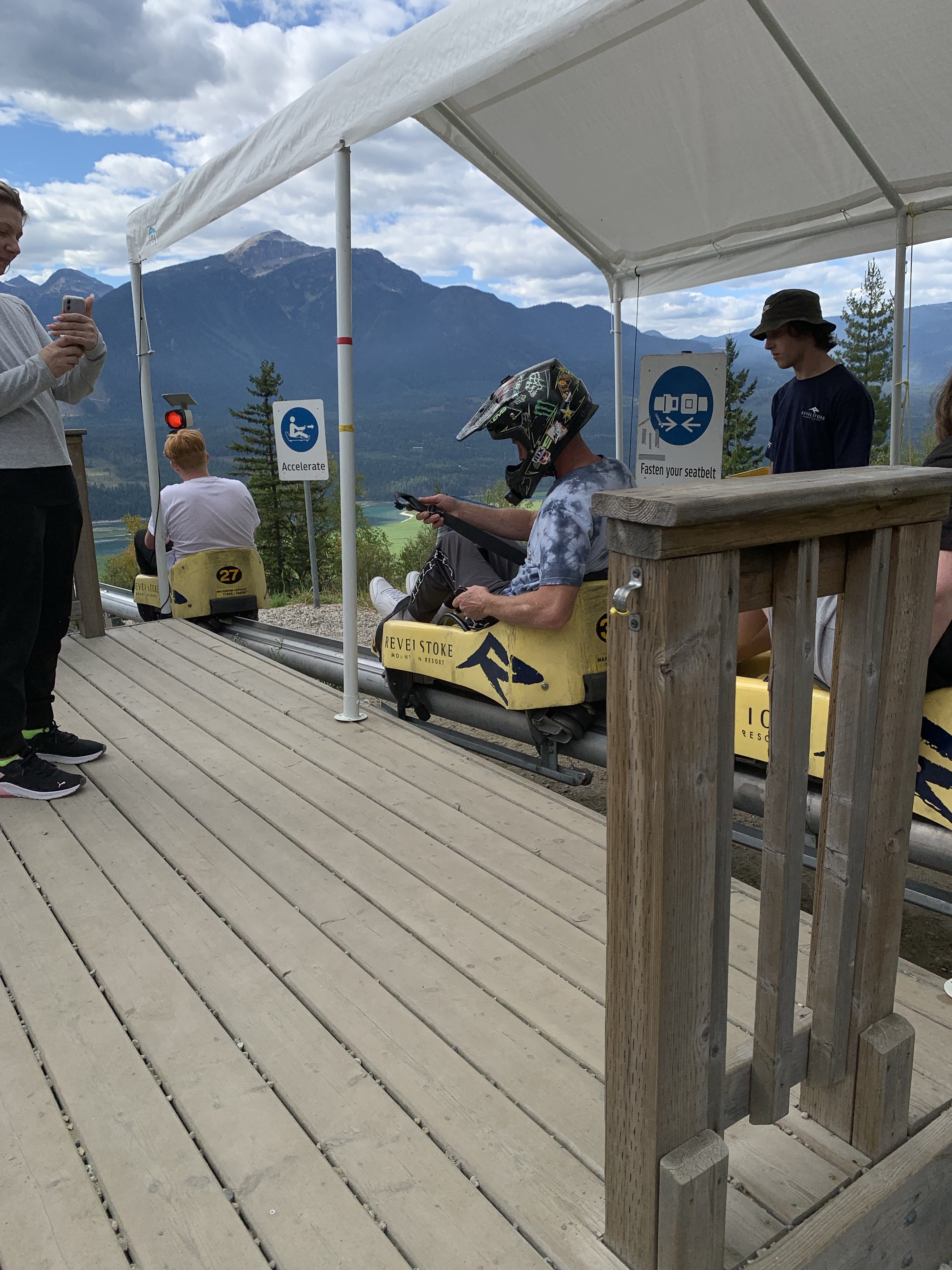
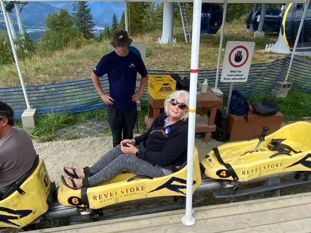
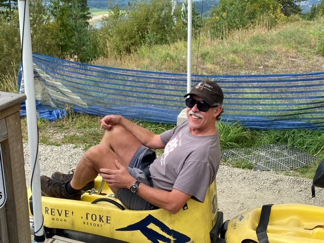
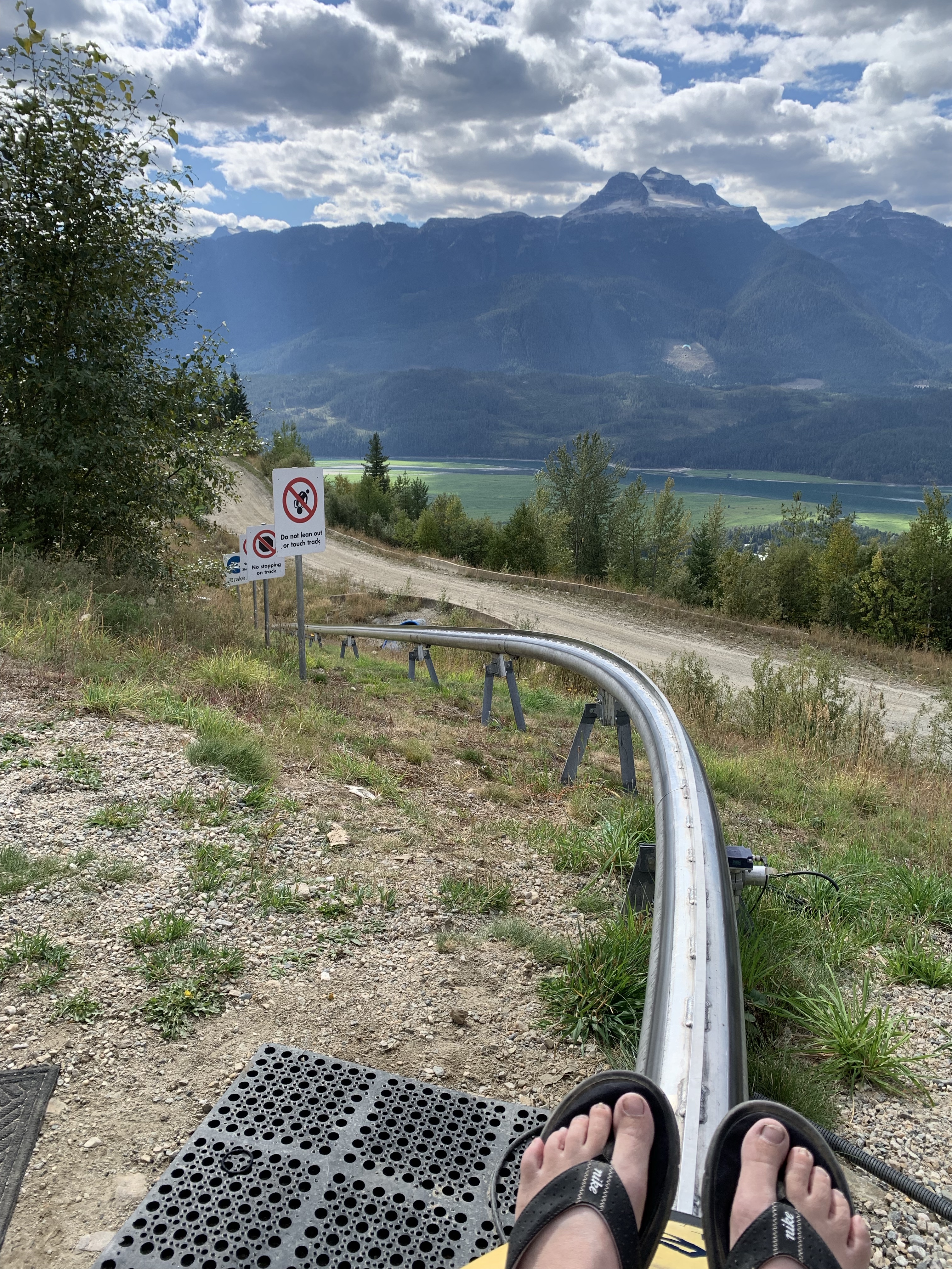
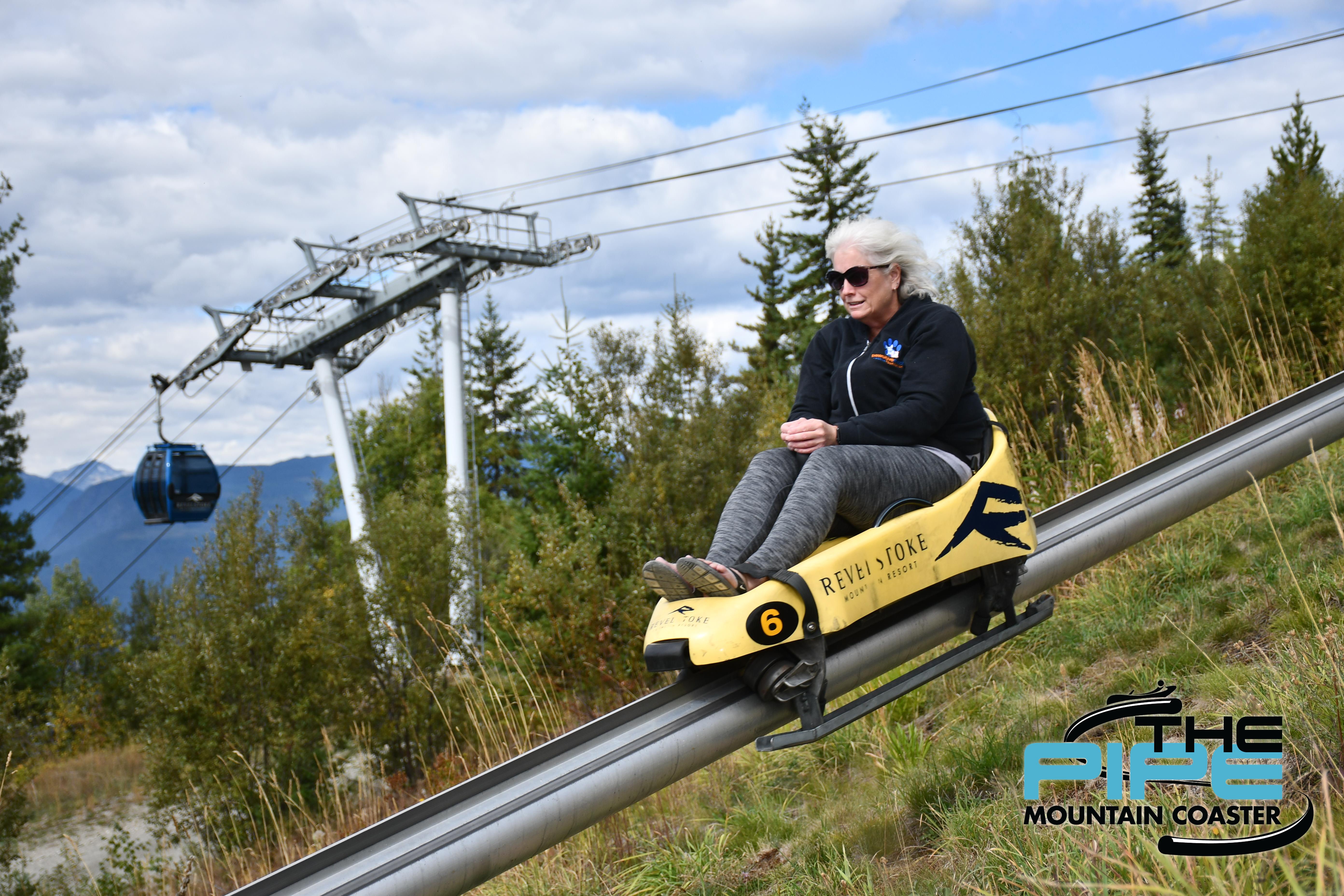
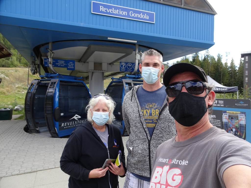
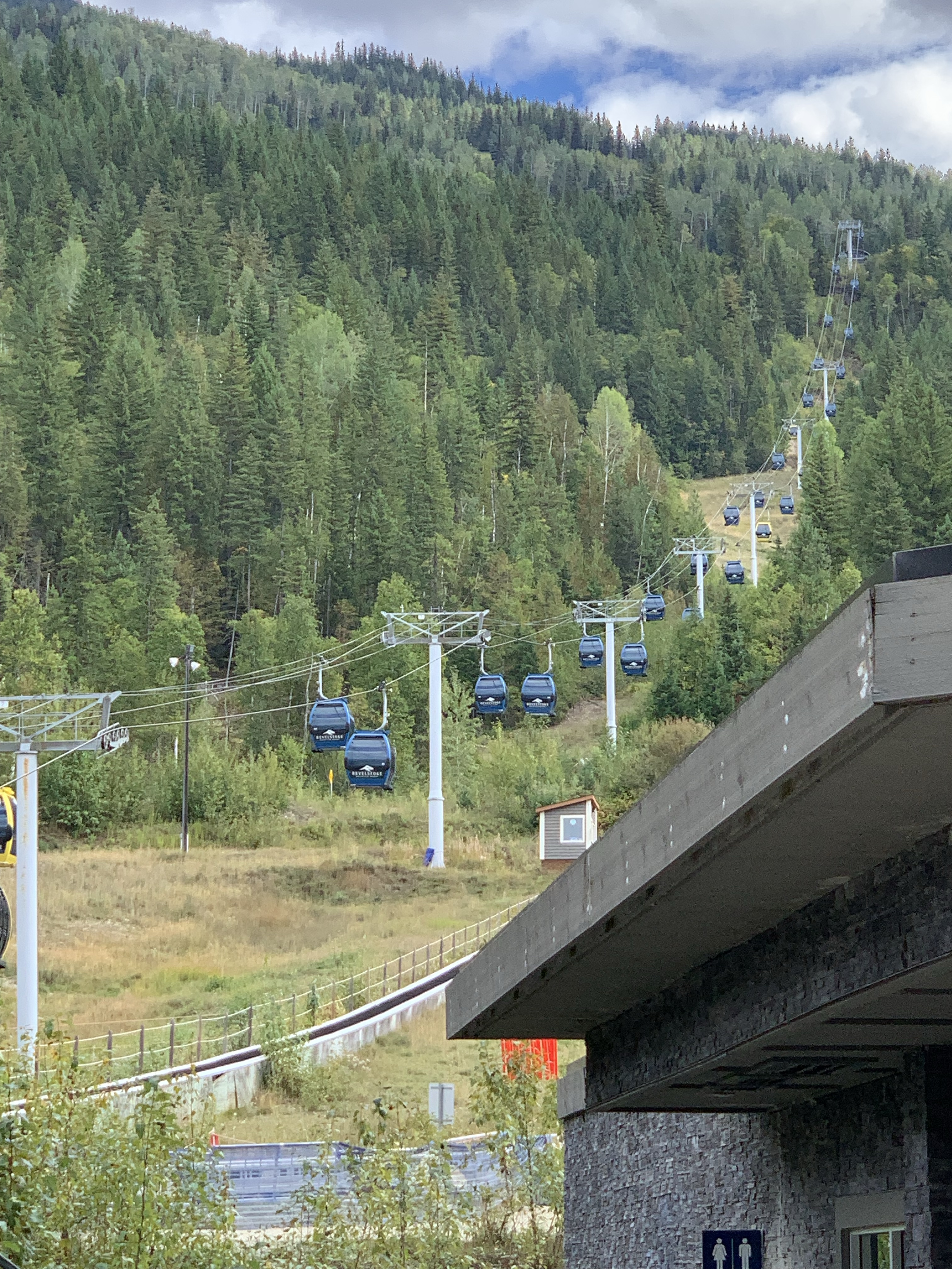
Stopping in Revelstoke, BC we decided on a great way to spend my birthday – riding The Pipe Mountain Coaster! This is something I have wanted to do since they first opened it. Yes, it was a bit scary and dare I say, maybe a little dangerous (haha), but it was a blast. I was a little cautious going down so I didn’t do the full out speed that others might have done, mainly because I didn’t know what to expect and didn’t want to be tossed from the tiny plastic luge.
If you are in Revelstoke, BC and have some time, I highly recommend it. The price was $29 + gst, well worth the leisurely the ride up in the gondola and with a very fast ride down the mountain.
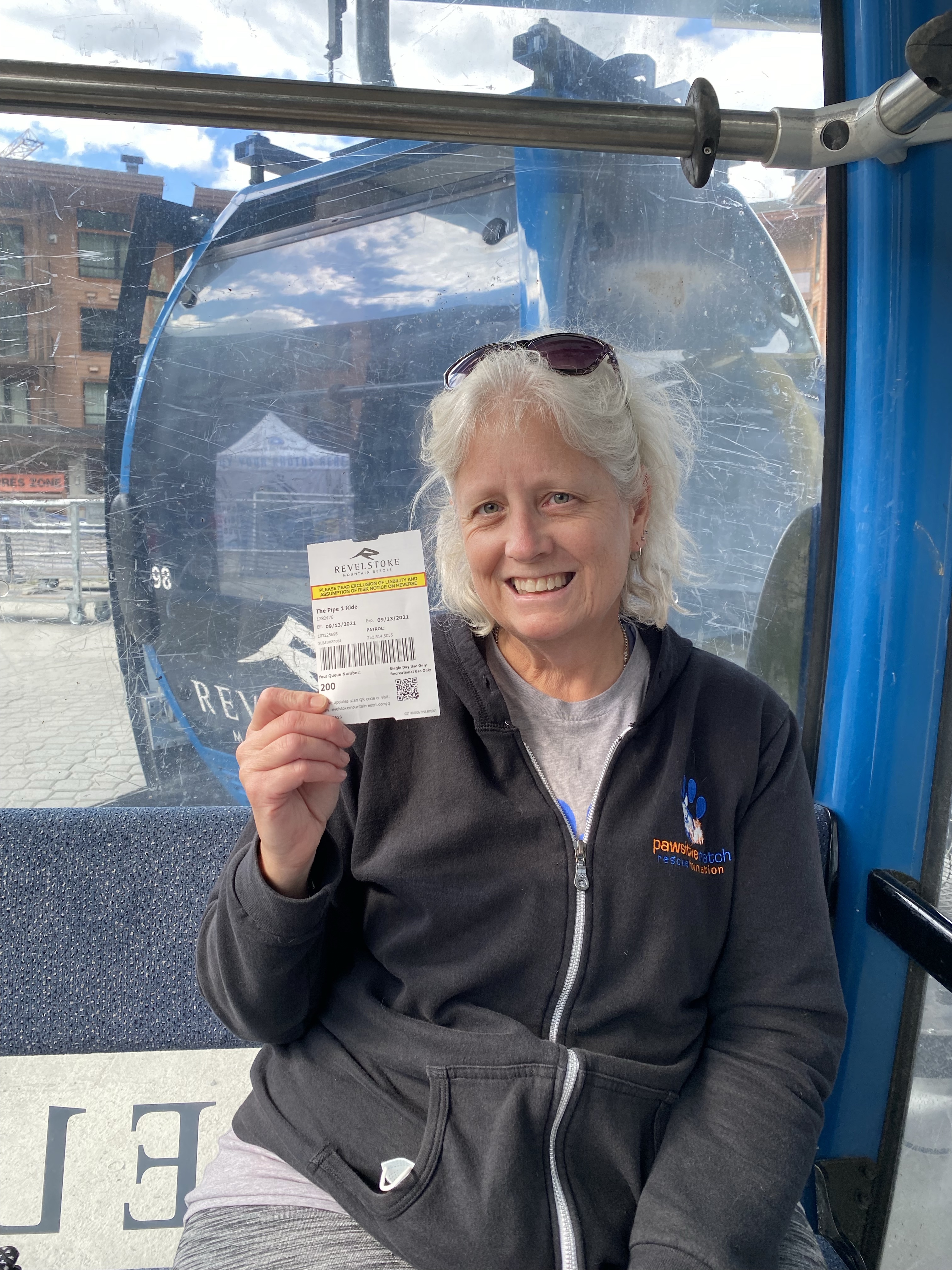
My ticket for the Mountain Coaster!